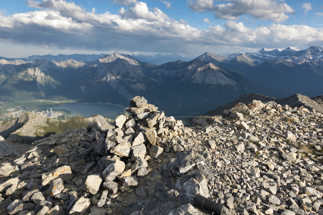
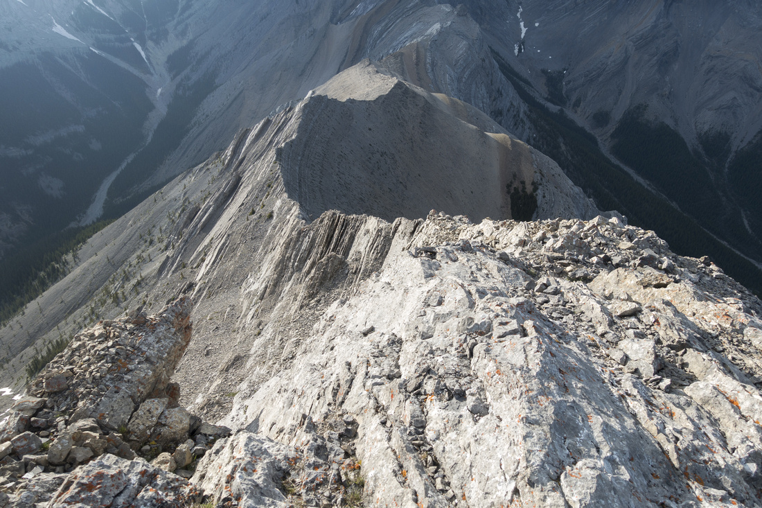
Google Map |
Rockies :: Canmore and Bow Valley ::Gap Peak |
GPS Track |
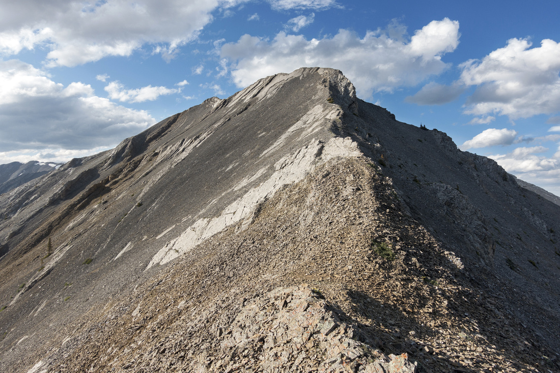 
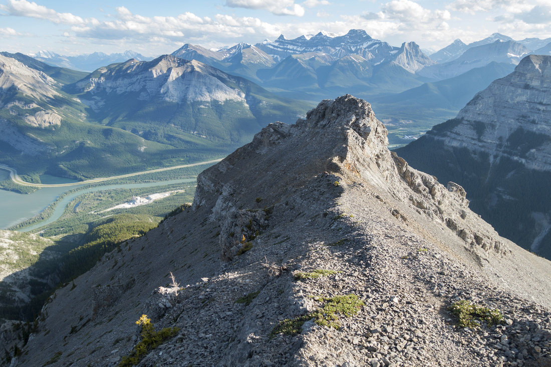
Gap Peak ascent ridge. Route follows mildly exposed crest and is much easier than this photo might suggest |
|||
| Trip Summary | |||
July 3, 2020
Unofficially named peak on north side of Gap Lake just west of Exshaw along Bow Valley Trail (1A). Route was initially discovered by Bob Spirko and subsequently included in A. Kane Scrambles guide, 3rd edition. "Peak" is probably misleading as it is just high-point of very long ridge extending north and connecting with upper parts of Cougar drainage. Before Spirko discovery, Gap peak has been approached from the north as extension of Mt. Fable scramble by traversing Gap - Fable (a.k.a "Gable") ridge but after 2013 floods Exshaw creek access has become very tedious. Scramble is not technically difficult but final part is narrow and mildly exposed; with strong winds it can be very dangerous, and accidents have been recorded. Tedious talus slope below ridge is quite loose and climbing helmet is strongly suggested if hiking in a group.
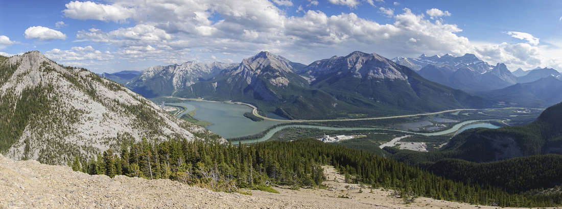
Park at Grotto Pond day use couple of km west from Exshaw along 1A, or even better 400m further west at entrance to Baymag Cement Plant. Trail starts at north end of Baymag quarry and there is usually large cairn; use GPS track from top of page if necessary. (If parked at Grotto Pond day use, simply walk 10 min or so along marked Grotto Canyon trail to Baymag Quarry). Once just a rudimentary footpath, now well defined trail rises through the forest and reaches set of peeling cliff bands in about 20 minutes. Several paths have been beaten into scree with various degree of difficulty, but section is quite loose on descent. Once above this initial obstacle going is quite pleasant and treeline is reached ~1hr 15min from Baymag trailhead. This is good spot for the break as views that unfold include Bow Valley panorama south, Anklebiter ridge east and Mt. Grotto to the west. Ascend on talus to first cliffband above and continue on trail that hugs the cliffs on climber right (east) side. Climb up steep dirt slope (flags, cairns) to second cliff band which is then traversed in west direction for ~10 minutes until cliffs have eroded sufficiently and talus slope leading to upper ridge appears on your right. This slope is probably the crux; reasonably steep and very loose. Left side is most solid; obvious scree trails in the middle are better used on descent. Churn your way up aiming to intersect broken line of rock pinnacles (well worth investigation, as there are couple of interesting rock "windows" -- save it for return perhaps). Find trail above the pinnacles and follow to prominent rock tower -- start of Gap ridge. This feature is easiest scrambled directly across (class 3), although scree bypass on east side is possible. Final part is ~1km long ridge that appears it might be problematic, but is for the most part just hiking. There are narrow parts, but never knife edge and couple of rock steps are always easily breached either by staying directly on the crest, or dropping a bit at one side or the other. Just before the summit is 1 class 3 notch; it can be downclimbed directly, but if in doubt bypass on right (east) side. Summit is wider than expected and normally has register.
Be wary that although Gap Peak is reasonably straightforward outing for experienced scrambler, "Gable" ridge extension is not -- it has several knife edge sections and accidents have occurred in the past, including June 2020 death on Mt. Fable. Very fit and fast groups have made loop return by continuing north to Mythic Tower, then descending ruble slopes into upper Cougar Creek drainage. This is a very long day with serious technical parts (class 4 or more) and it can not be recommended. Best is to return the same way back to Baymag quarry, and descent will usually be twice as fast. In the past groups have also attempted to return by descending directly west to Grotto canyon, but accidents have occurred - safest way is to retrace your steps same way you went up. |
|
Gallery |
|||
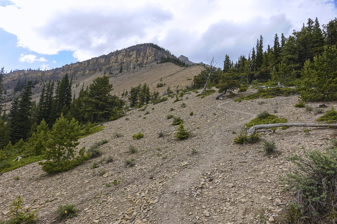  Trail emerging at Treeline after ~1hr 15min of moderately steep ascent from Baymag Quarry. Cliff band above is bypassed on climber right
 |
|||
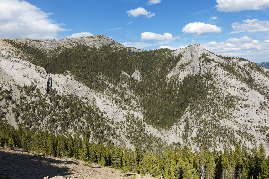  Anklebiter Ridge to the east is great early season scramble
 |
|||
|
|
|||
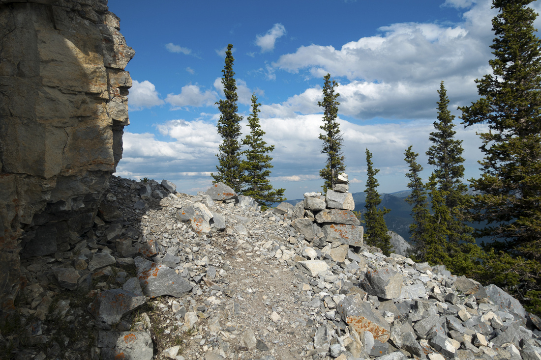  Cairn at start of traverse below second cliff band, looking back
 |
|||
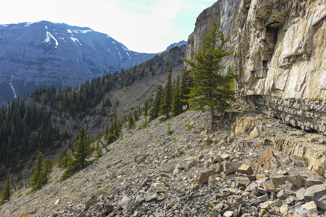  Length of Traverse below second cliff band; very aesthetic part of the journey. Grotto Mtn upper left
 |
|||
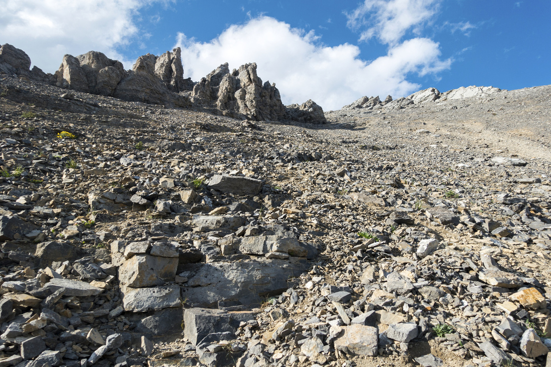  Very tedious talus slope leading to start of Gap Ridge. Obvious trail to the right is made by scree surfers on descent and is not best way going up. Stay as close as possible to climber left heading for obvious line of broken rock pinnacles; terrain is less loose there
 |
|||
|
|
|||
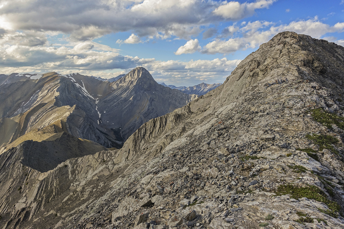
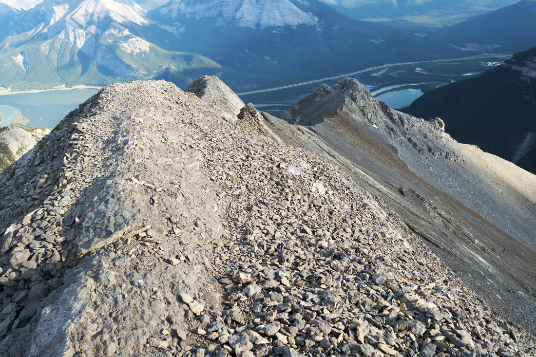  Another view back further along Gap ridge. Crest is mildly exposed at times but not difficult and mostly hiking. Could be dangerous during strong winds
 |
|||
|
|
|||
|
|
|||
|
|
|||
|
|
Abstract
| Overall Difficulty | D6 | Steep ascent on dirt and talus above treeling. Loose and tedious scree slopes. Narrow ridge with several class 3 rock steps. Mild exposure. Dangerous with high wind | |||
| Snow Factor | S4 | Scree slope above second cliff-band is potential avalanche danger. Narrow and mildly exposed ridge should be snow free | |||
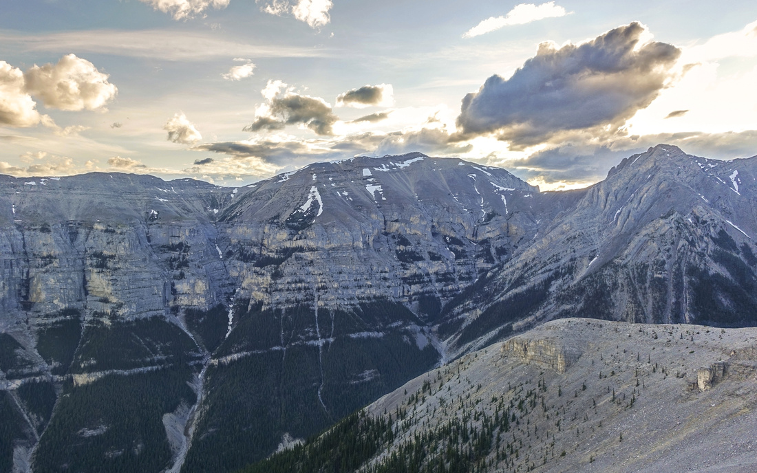
| Scenery | Front Ranges and Foothills. Many peaks of Fairholme range including rugged "Gable" ridge leading to Mt. Fable | ||||
| Trail/Marking | Fair | Well defined to treeline, occasional cairns to the ridge | |||
| Suggested Time | 6-7 hr | Moderate Pace, including summit break. | |||
| Elevation | Start: 1310 m Max: 2480 m Total: ~1200 m | Round Trip: ~9.5 km | |||
| Gear | Full boots preferred for ankle support on steep scree slope. Hiking poles essential; Gaiters recommended. Climbing Helmet strongly suggested if hiking with group | ||||
| Water | Entirely dry hike; carry 2-3 L, depending on season | ||||
| Dog Friendly | Yes | No on-leash restrictions. Be aware that upper ridge is narrow and might present potential problem | |||
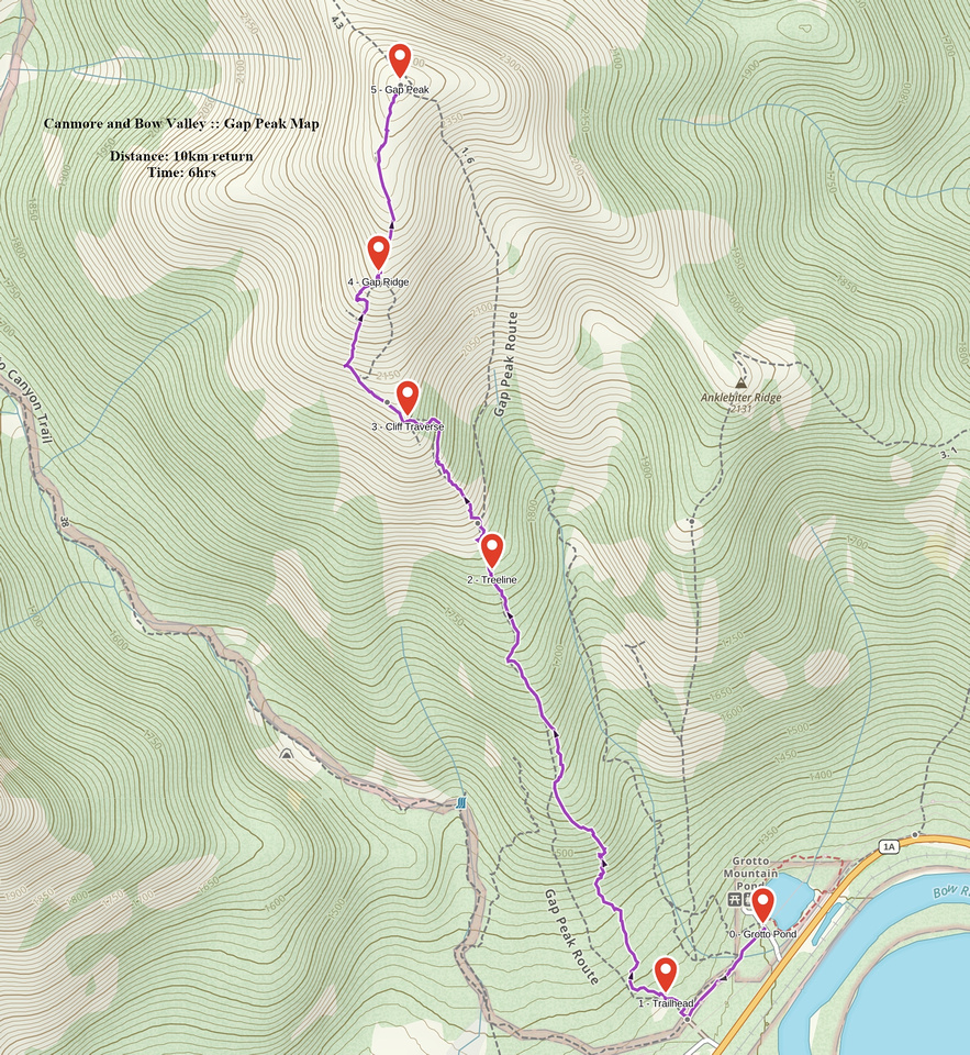 Gap Peak GAIA Map
 Gap Peak Elevation Profile
