Google Map |
Rockies :: Canmore and Bow Valley ::Mt. Allan from North |
GPS Track |
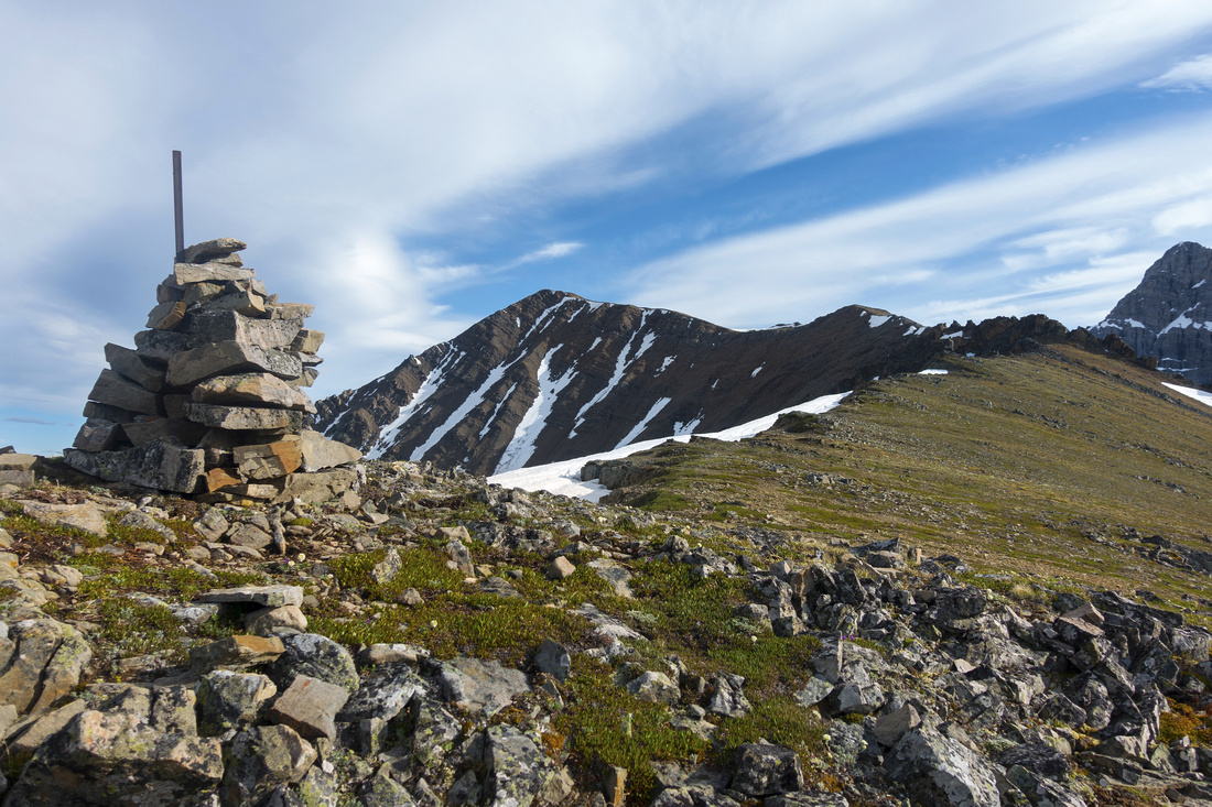 
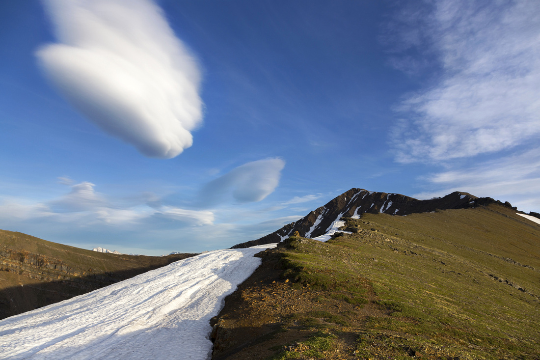
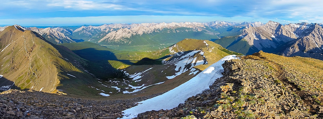
Centennial Ridge gently curling to 2820m summit of Mt. Allan |
|||
| Trip Summary | |||
June 25, 2020
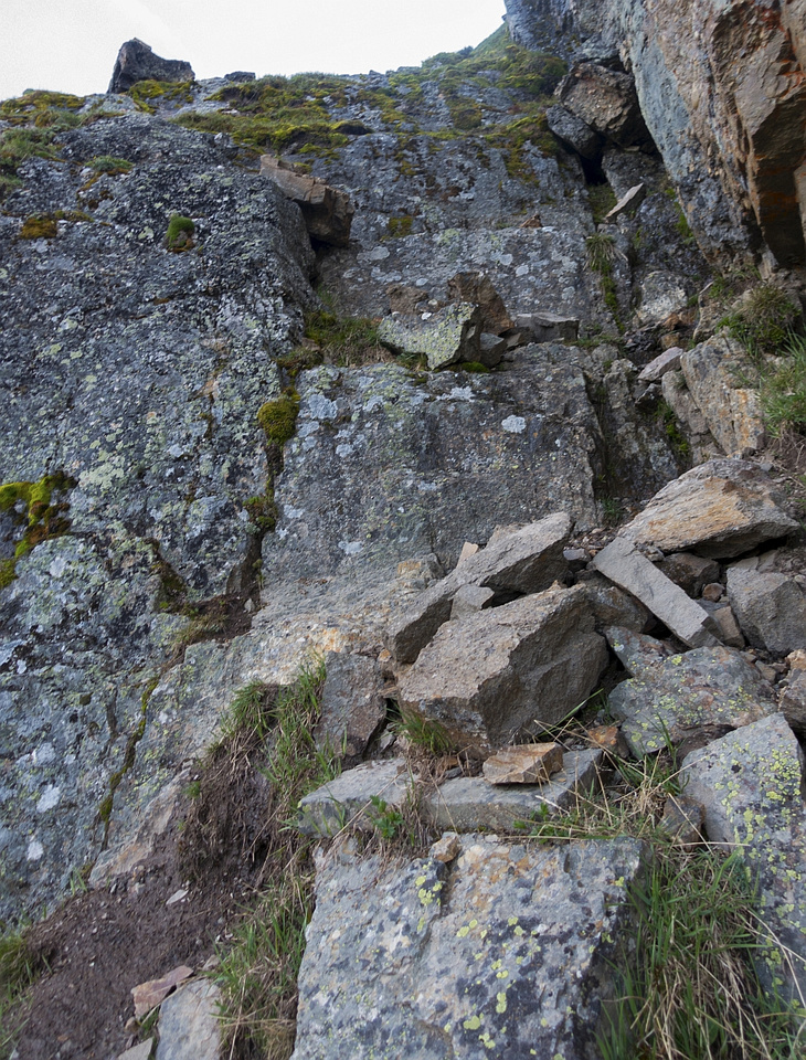
North part of celebrated Centennial Ridge over Mt. Allan linking Ribbon Creek with Dead Man Flats near Canmore. 1-way traverse offers optimal experience, but requires transport logistics planning. Doing each side separately as out-and-back is acceptable trade off. I did full traverse in my early hiking days with Calgary Outdoor Club; descending North side on that day towards Canmore I remember thinking how nice it would be to actually ascend that beautiful curling ridge, and returned in late June '20 to do so. Only drag is unavoidable trudge up old logging road to base of North Ridge of Mt. Collembola, but after that things improve in a hurry. Almost ~4 km of uninterrupted ridgewalk that follows is one of the best in K-country and southern Rockies. Only difficulty is so called "Black Band" - set of cliffs easily bypassed on climber left (east) side, with one brief class 2 scramble step that should be dry. Official trail is marked with wands and cairns with no route-finding problems. Note seasonal closure April 1 - June 21. Besides full traverse, extensions include visit to Jubilee Tarns or full Collembola horseshoe traverse, best done is clockwise direction.
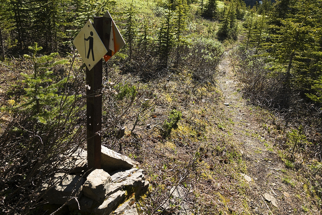
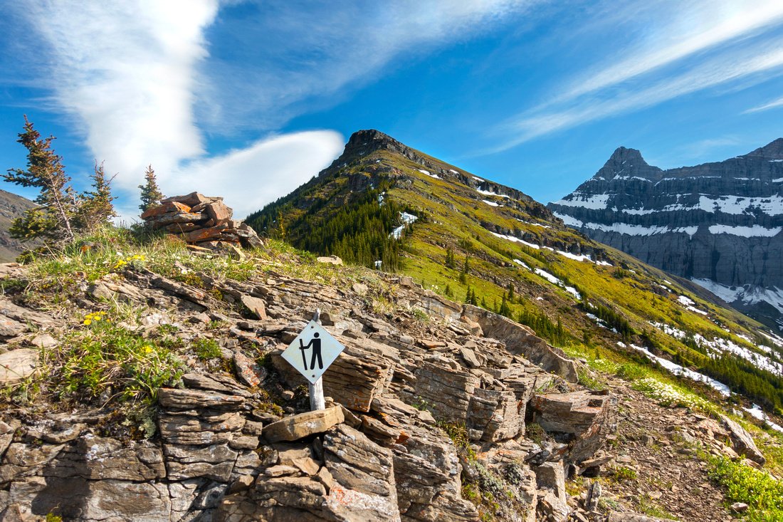
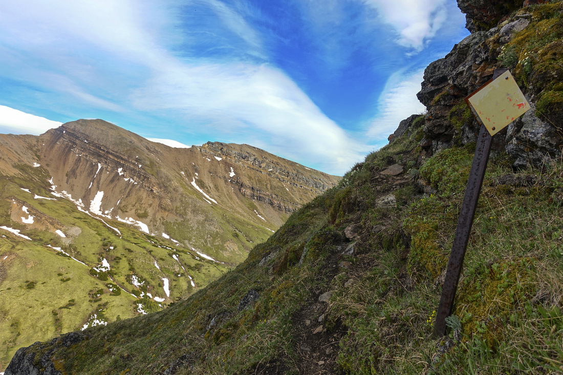
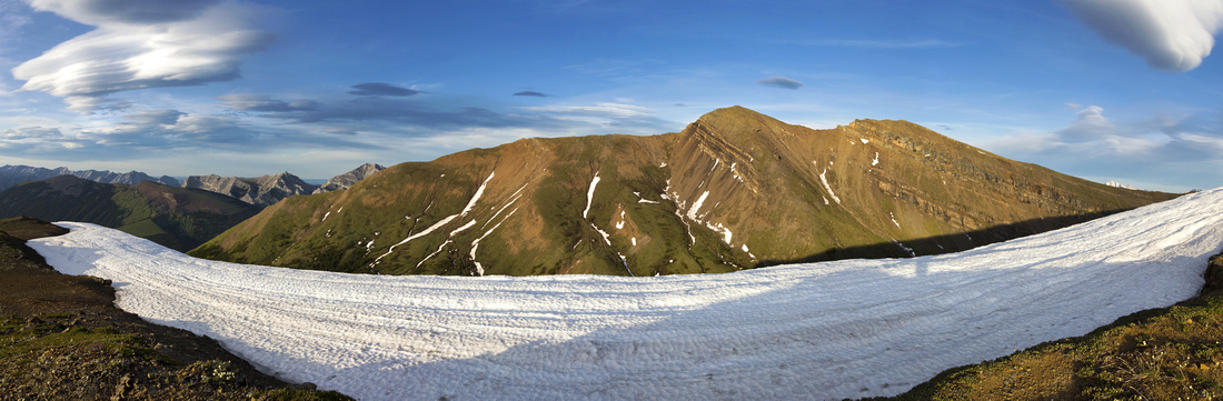
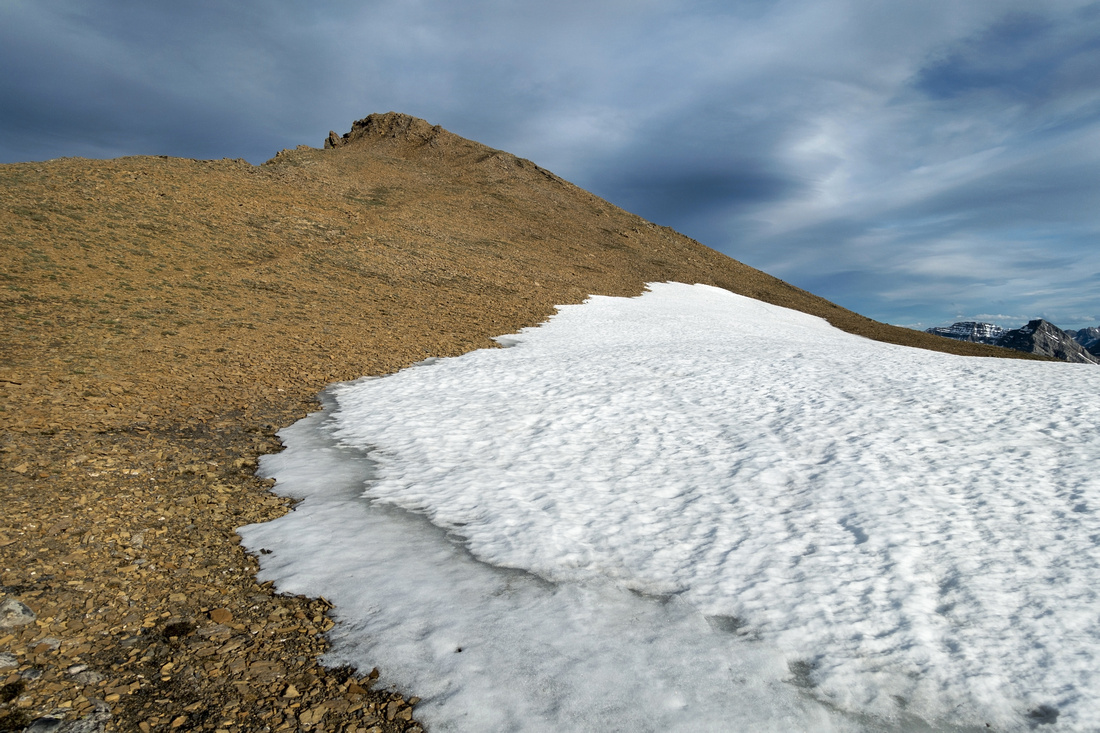
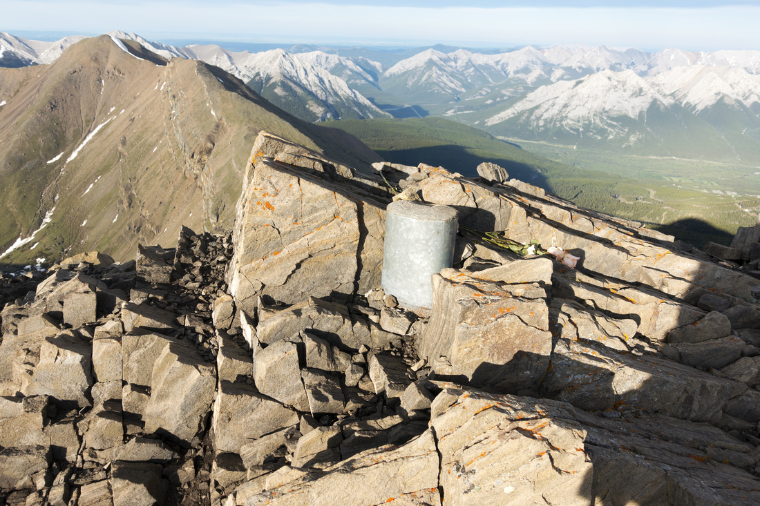
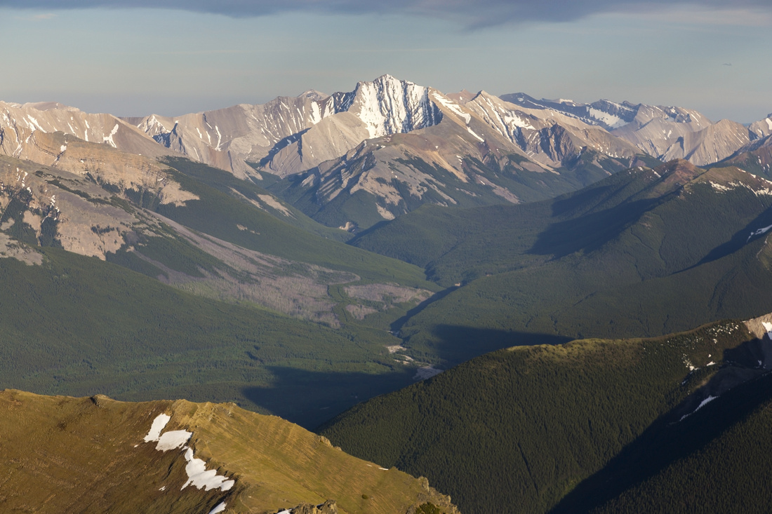
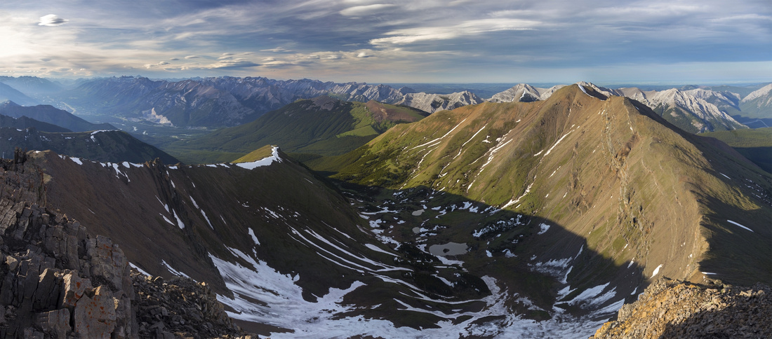
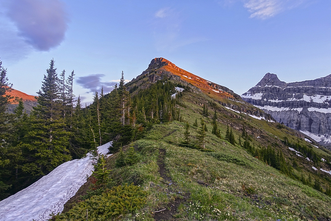
Park at Banff Gate (Skogan Pass Trailhead) exiting Trans-Canada at Dead Man Flat overpass. Marked start of Centennial Trail is reached after 10-15 minutes, just after trail crosses rebuilt bridge across Pigeon creek; turn left. Next part is spent hiking ~6km up the old fire road. This part is not overly exciting, but progress is fast and couple of clearings provide scenic interest. In upper part this road steepens up considerably; watch for mountain bikers coming down. After ~1.5 hours of steady hiking grassy cone of Collembola lower ridge comes into view and road reverts to pleasant forest trail. Continue for another 30 min then traverse scenic Jubilee Meadows and climb up to north end of Centennial ridge, marked with hiking sign (see gallery). From now on trip is amazingly scenic. Trail heads over couple of rises to base of "Black Band", then swings on shady left side and traverses steep grassy slopes to point where cliffs have eroded sufficiently to allow easy way in (class 2). In early summer there still might be lingering cornice here, but it can usually be bypassed easily. Continue along the grassy low angle ridge towards the summit. Scramble easily through the next set of eroded cliffs then ascend talus to flat plateau just below the summit. Switchbacks are then followed to often windy 2820m summit. South Side of Centennial Ridge descending to Ribbon Creek is directly south, along with many familiar peaks along Hwy40 corridor. Imposing Lougheed Towers are west, while Mt. Collembola / Jubilee Tarns is to the east (note rough scree trail, used for horseshoe traverse). Jubilee Tarns are below and sometime used as overnight spot.
Return the same way will be much faster. With right conditions great sunset can sometime be enjoyed from bottom part of the ridge. In that case hiking out by headlamp does not present an issue, but try at least to reach end of logging road before dark. |
|
Gallery |
|||
 Entering Jubilee Meadows after 2 1/2 hrs of steady pace from parking
 |
|||
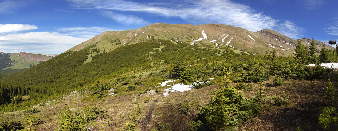 Looking back to Mt. Collembola after crossing Jubilee Meadows. Pigeon Mtn. far left
 |
|||
|
|
|||
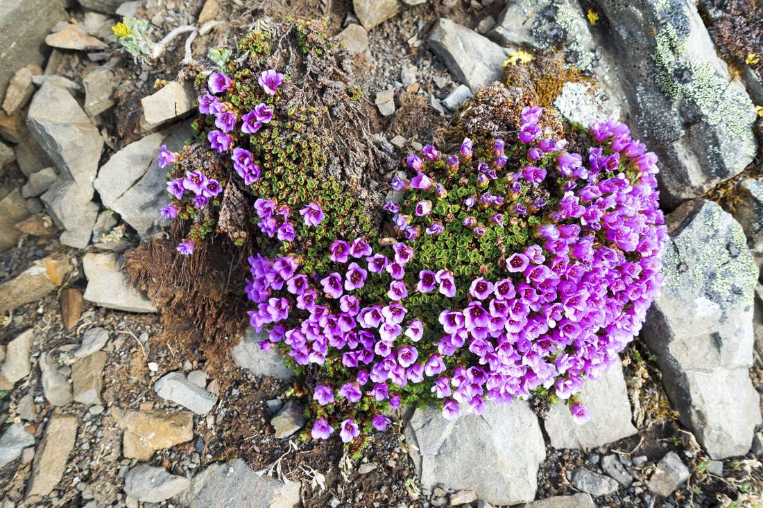 Early summer wildflowers managing to survive in harsh conditions
 |
|||
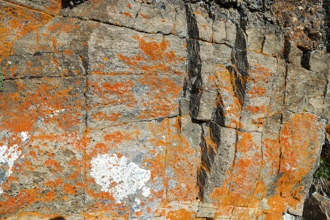 Interesting orange colored lichen growing out of rock strata just below Black Band
 |
|||
|
|
|||
|
|
|||
|
|
|||
|
|
|||
|
|
|||
|
|
|||
|
|
|||
|
|
|||
|
|
|||
|
|
|||
|
|
|||
|
|
Abstract
| Overall Difficulty | D5 | Mainly trail hiking with one brief class 2 rock step Considerable distance and overall elevation gain. | |||
| Snow Factor | S2 |
Centennial Trail closed April 1 - June 21 by which time most snow should be melted. Winter ski trips are not frequently done |
|||
| Scenery |
Very aesthetic ridgewalk. Great view of Canmore area peaks above Treeline, including Wind Ridge, Three Sisters, Pigeon Mountain, Mount Collembola and Lougheed Towers. Picturesque Jubilee Tarns in alpine cirque between Collembola and Mount Allan. |
||||
| Trail/Marking | Very Good | Official Centennial Trail with markers and cairns. Becomes faint on upper ridge but way is obvious | |||
| Suggested Time | 9 hr | Return time the same way. Visit to Jubilee Tarns will add 1-2 hrs. | |||
| Elevation | Start: 1430m Max: 2820m Total: ~1500 m | Round Trip: 25km | |||
| Gear | Full hiking boots or day hikers. Poles helpful. | ||||
| Water | No reliable water source past Piegon Creek early on. Jubilee Tarns could be used in emergency but are out of the way and water must be boiled. Carry 3-4L | ||||
| Dog Friendly | Yes | Standard back-country precautions. Area frequented by mountain sheep and bears | |||
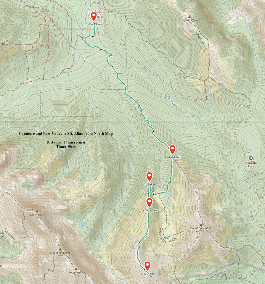 Mt. Allan from North GAIA Map
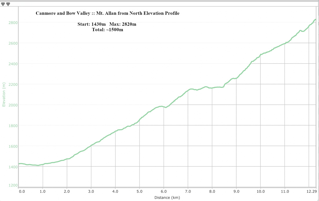 Mt. Allan from North Elevation Profile