Google Map |
Rockies :: Alberta Foothills :: Horton Hill |
GPS Track |
|
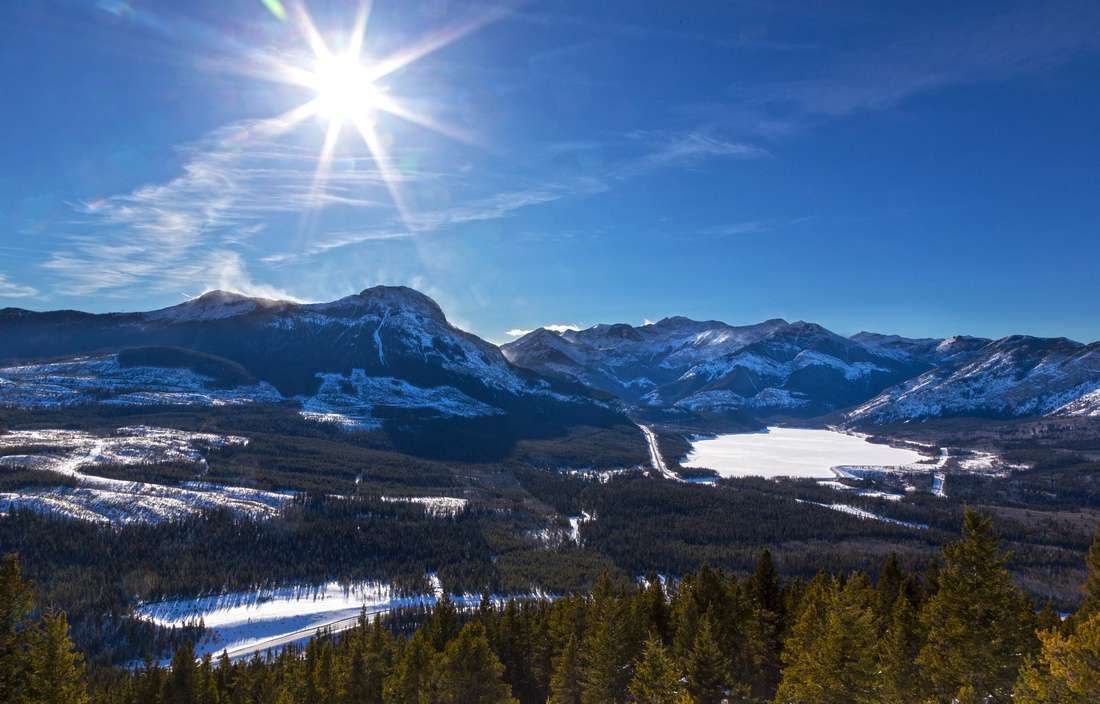 
Panoramic Views south from clearing in upper parts of Horton Hill. Lusk Pass trail and Baldy Mtn left, Barrier Lake just right of center. Sibbald Road below |
|||
| Trip Summary | |||
February 24, 2021Horton Hill is forested bump rising east above Barrier Lake information center on Hwy 40 (Kananaskis Trail). It owes its name to nearby Tim Hortons Children Ranch. At one point old logging road above the ranch was used to ascend Horton Hill, but it has been overgrown and normal access now is -- as popularized in Daffern K-Country Trail Guide series -- from Sibbald Road above Lusk Recreation area. Hike is mostly without trail up semi-open forested slopes, but direction is obvious. It is possible to extend the trip by continuing east on treed Horton Ridge to next bump on the horizon and then descend to Sibbald Road some 2km east from Lusk Parking. This extension can not be recommended as it involves significant bushwhack, while the views are almost non-existent.
Park at signed Lusk Recreation area, ~1.5km east from Hwy 40. It is possible to head up almost anywhere, but for easiest line walk back to Sibbald Road then head up open slopes just before the shoulder (first photo in gallery). Initial rise is bit steep but soon it mellows. Follow your nose up semi-open forest following path of least resistance. About an hour of fast pace brings you to large clearing with spectacular views -- much better than you get from the "summit". Continuing up bits of trail develop and lead through some deadfall up final slope to Horton Ridge. Old trail from Horton Ranch intersects here; turn right by the arrow and reach Horton "Summit" within minutes. Large canister hosts the register, not expected for this kind of "summit", but views are limited. Return the same way. On my GPS track I utilized alternate descent line below the clearing following some old snow tracks, but this line was not as good as the ascent line. Eventually it ended at valley bottom intersecting trail that links Lusk Parking and Horton Ranch. |
|
Gallery |
|||
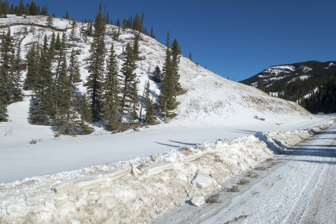 Sibbald Trail Sibbald Trail Shoulder of Sibbald Road, just outside Lusk recreation area. Head up open slopes on left side
 |
|||
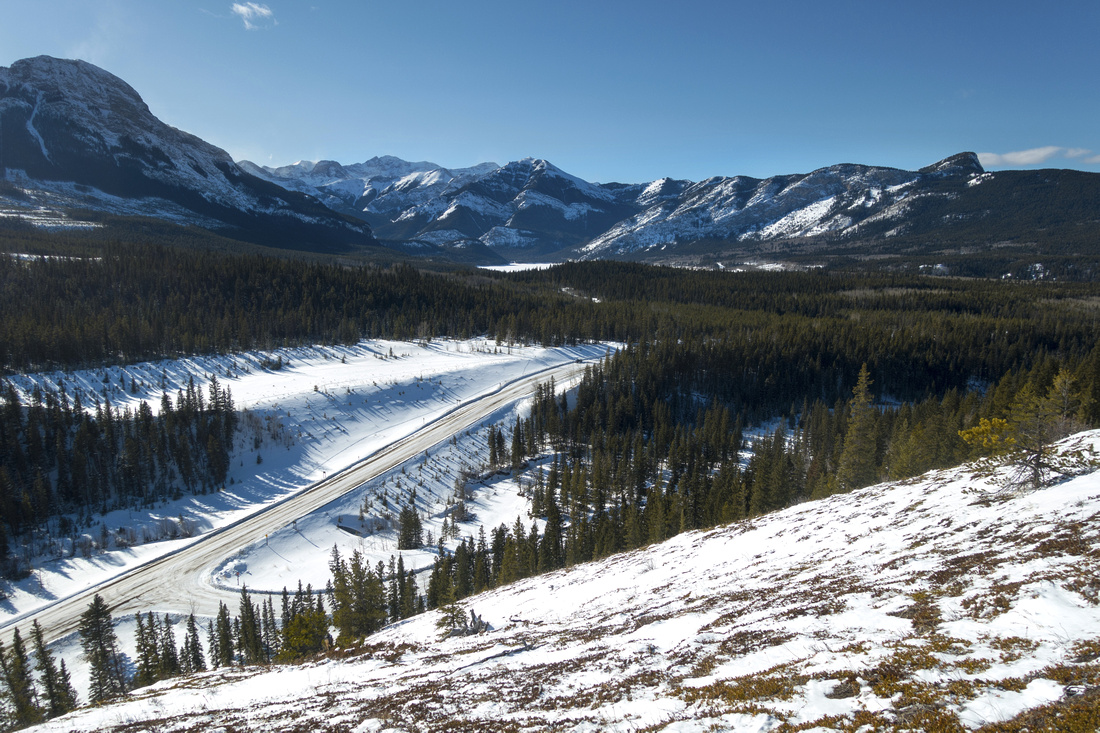 Sibbald Rise Sibbald Rise Looking back after steep initial rise above Sibbald road. Baldy Mtn upper left, Yates Mtn (a.k.a Barrier Lake Lookout) upper right
 |
|||
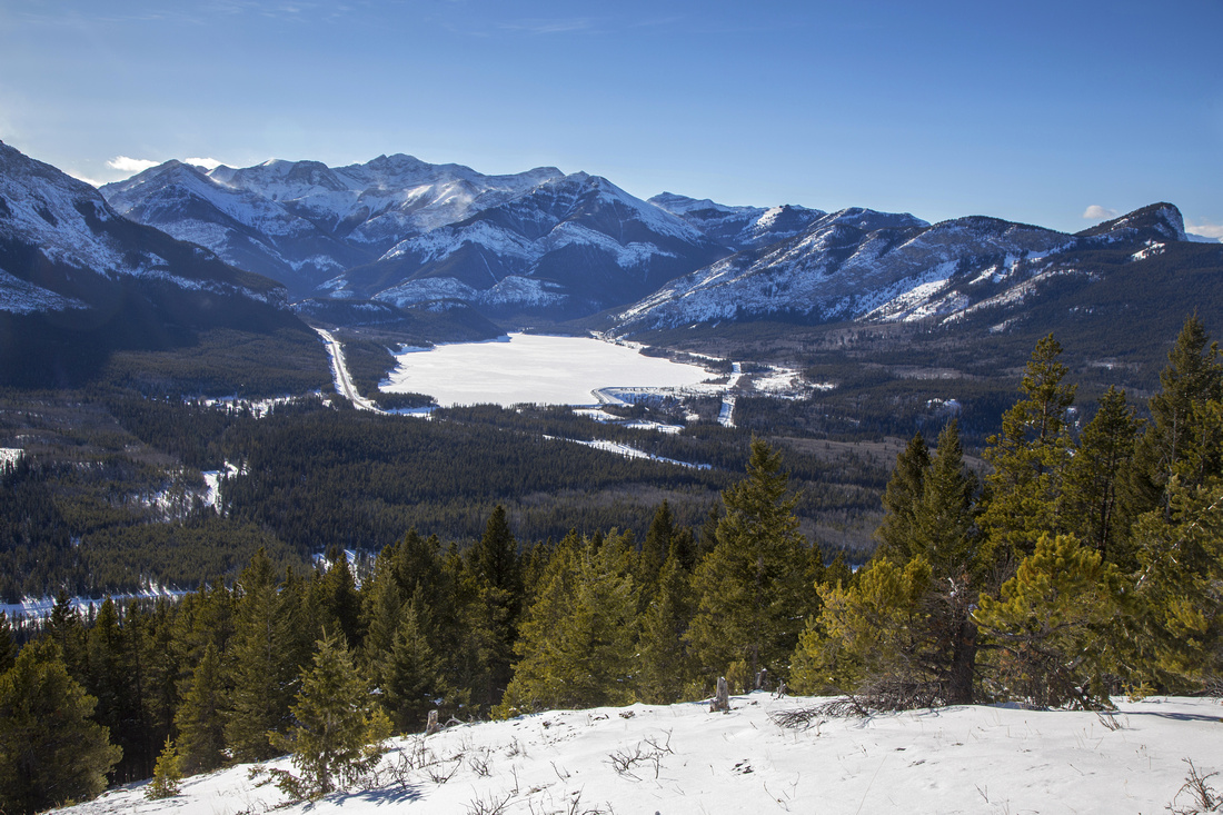 Barrier Lake Barrier Lake Great view of frozen Barrier Lake and best viewpoint of the day
 |
|||
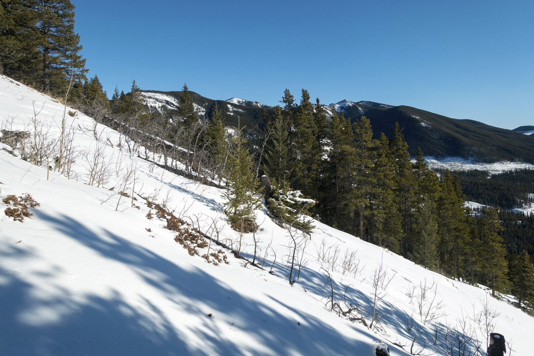 Hunchback Hills Hunchback Hills Hunchback Hills to the east climbing moderately angled final slopes to Horton Ridge
 |
|||
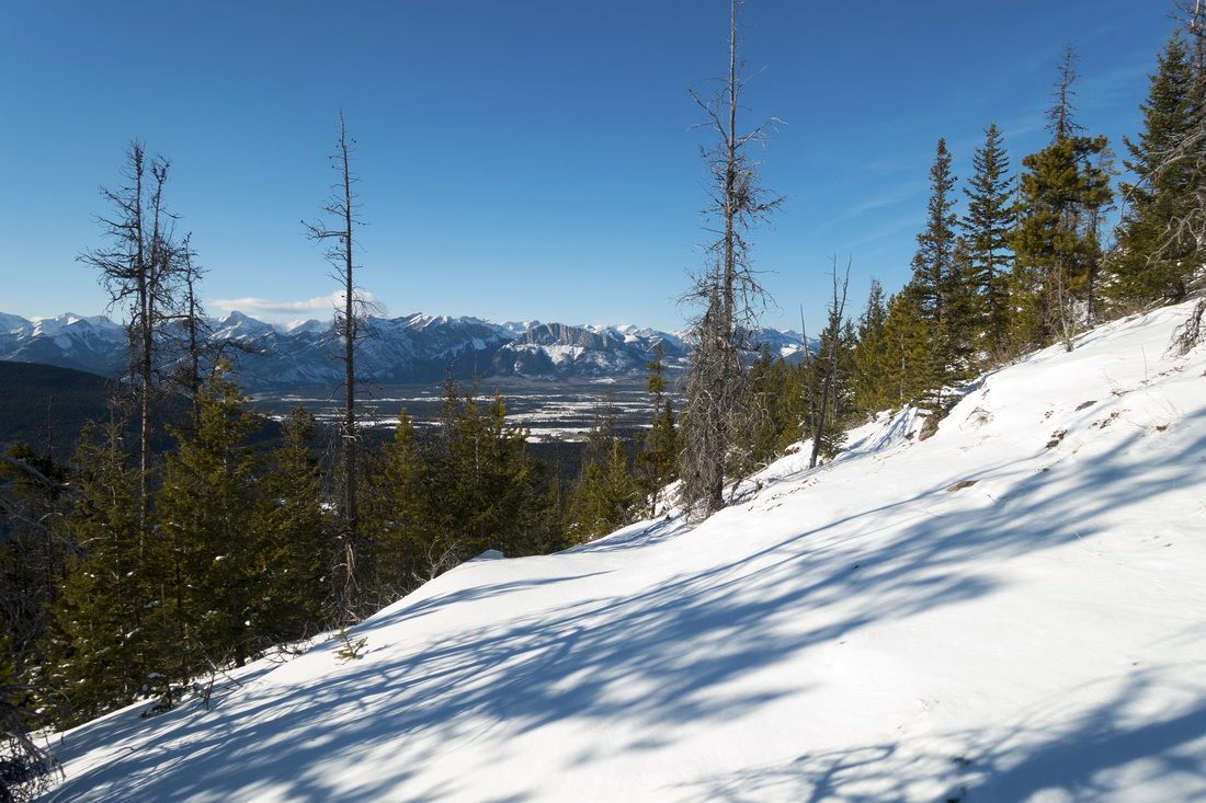 Yamnuska views Yamnuska views View NW towards Mount Yamnuska and Bow Valley Provincial Park
 |
|||
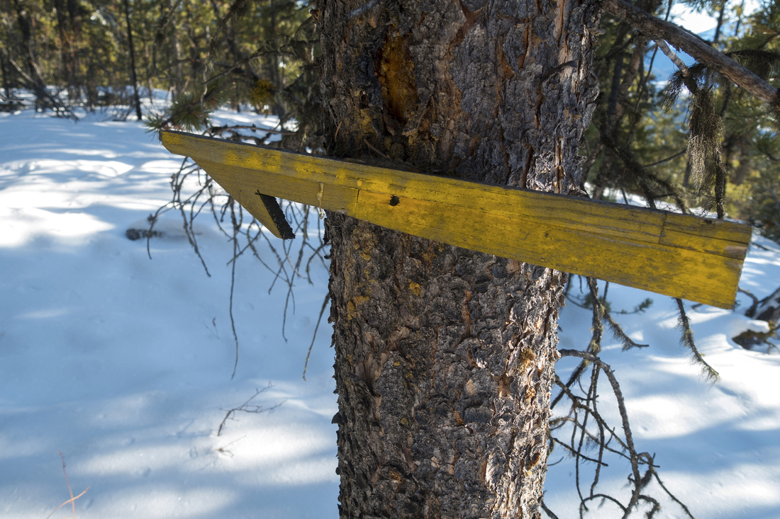 Wooden Arrow Wooden Arrow Old weathered wooden arrow indicating direction as ridge trail coming from Horton Ranch intersects. "Summit" is few minutes away
 |
|||
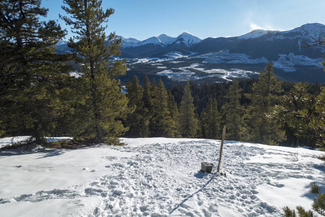 Horton Hill Summit Horton Hill Summit Horton Hill "Summit" with view south towards Baldy Pass; Midnight/Midday peaks upper center. Old military canister - summit "register" is permanent feature.
 |
|||
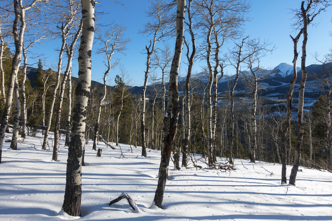 Aspen Forest Aspen Forest Stand of barren Aspen trees on alternate descent line
 |
|||
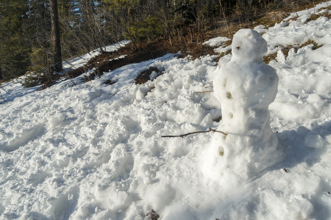 Happy Snowman Happy Snowman Late winter snowman on open slopes just above valley trail that links Lusk recreation area and Horton Ranch
 |
Abstract
| Overall Difficulty | D3 | Moderately steep ascent in semi-open forest. Some deadfall in upper part. Watch for ticks in spring! | |||
| Snow Factor | S1 | Forest enclosed slopes mean no avalanche danger. Snow level usually low throughout winter | |||
| Scenery | Sweeping scenery of front ranges and foothills | ||||
| Trail/Marking | None | Lower slopes are off trail, but direction is obvious. Some flagging. Trail develops in upper slopes and on Horton Ridge | |||
| Suggested Time | 3 hrs | Return time from/to Lusk Recreation Area. Add couple of hours if continuing east on Horton Ridge and looping back to Sibbald Road (not recommended) | |||
| Elevation | Start: 1390m Max: 1720m Total: ~380m | Round Trip: ~4.5km | |||
| Gear | Day hikers sufficient in summer and shoulder season. Snowshoes often not required in winter. | ||||
| Water | Dry hike. Carry ~1L | ||||
| Dog Friendly | Yes | Standard back-country travel precautions. Cougars frequent the foothills | |||
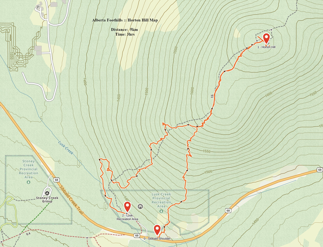 Horton Hill GAIA Map
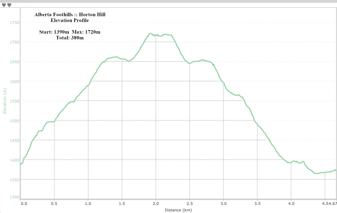 Horton Hill Elevation Profile