Google Map |
Rockies :: Canmore and Bow Valley ::Bow Valley Provincial Park |
GPS Track |
Early snowfall and Autumn Colors at Many Springs |
|||
| Trip Summary | |||
September 14, 2016
Bow Valley Provincial Park is fantastic area close to Calgary for undemanding couple of hours stroll in very scenic environment. Lakes, aspen forests and Bow River with views to foothills and prairies are some of highlights. There is also large tent/RV park along the Bow River, often full during high season. Area is also popular with fishermen and photographers. Despite human presence plenty of wildlife including coyotes, deers and on occasion even bears can be spotted. Option presented here makes a loop starting from Middle Lake and visits most of the highlights of the park. Many variations are possible; if you are short with time, try to do Many Springs loop at least. It has interpretive trail and couple of fabulous viewpoints.
Coming from Calgary on Trans-Canada turn into 1A connector couple of minutes past Kananaskis Trail (Hwy 40) junction, then left into signed Bow Valley Park. Follow main part artery, passing park headquarters along the way and park at Middle Lake parking lot. You can walk directly to Elk Flats trail following trail on right side of the lake, but it is nicer to go left and do a loop around Middle Lake. Stay on lakeshore trail; signed Middle Loop is forested and not really worth. After you circle the lake, cross the road and turn left into Elk Flats trail. Continuing straight is Moraine ridge trail leading to the campground and your return point if you decide to do entire loop.
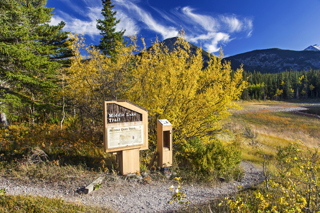
Elk Flats trail travels through lovely semi-open forest for couple of kilometers and descends to Many Springs parking lot. Turn left and follow interpretive trail looping around the lake counter-clockwise. Best viewpoints are at west end of the lake, and viewing platform with bench halfway around south side. After completing the loop and you are short with time, you can return the same way back to Middle Lake via Elk Flats. Otherwise follow signed trail to Whitefish picnic area at Bow River. This is lovely spot and well-worth a break at one of picnic tables. Continuing east is Bow River trail traveling just below the campground. This is the least enjoyable part of entire loop because of the congestion and noise, but there are still some fine views across the Bow towards yam area. The only 'routefinding' problem is to identify Moraine Ridge connector back to Middle Lake. It starts near the amphitheater at section "C" of the campground; it will take ~20 minutes from Whitefish Picnic area. Leave Bow River trail and walk uphill through the campground to "Hiking" sign by the amphitheater. From here it is gentle rise for just over a kilometer with more interpretive signs well worth a stop. Finally you are back to Elk Flats junction; cross the road, turn left and walk back to Middle Lake parking lot. |
|
Gallery |
|||
 Middle Lake Trailhead. Shortcut to Elk Flats trail goes right
 |
|||
 Trail around Middle Lake looking towards Yates Mountain
 |
|||
Views from south side of Middle Lake |
|||
 Views from north side of Middle Lake
 |
|||
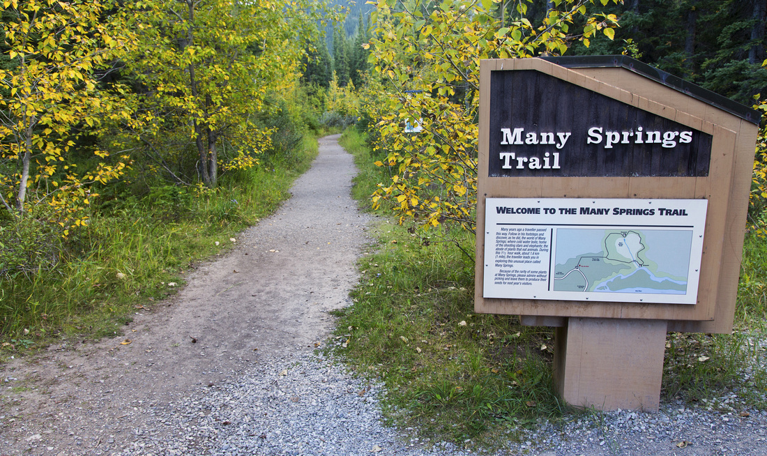 Many Springs loop starts at end of Elk Flats trail
 |
|||
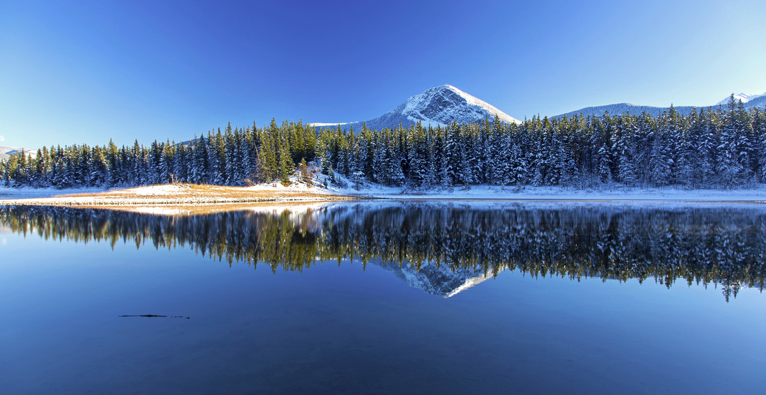
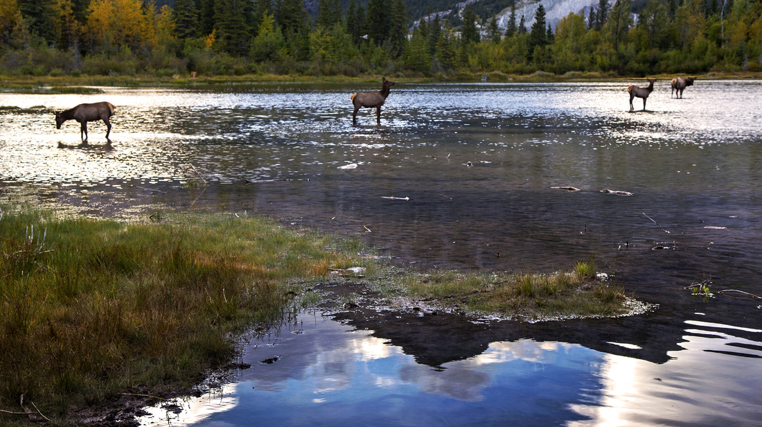 Many Springs is popular elk water hole in early evening
 |
|||
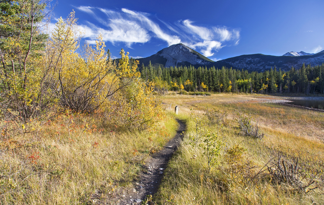
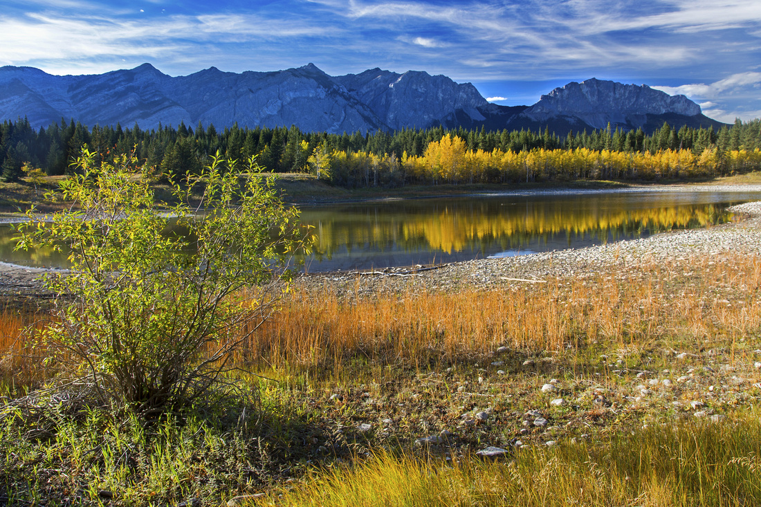
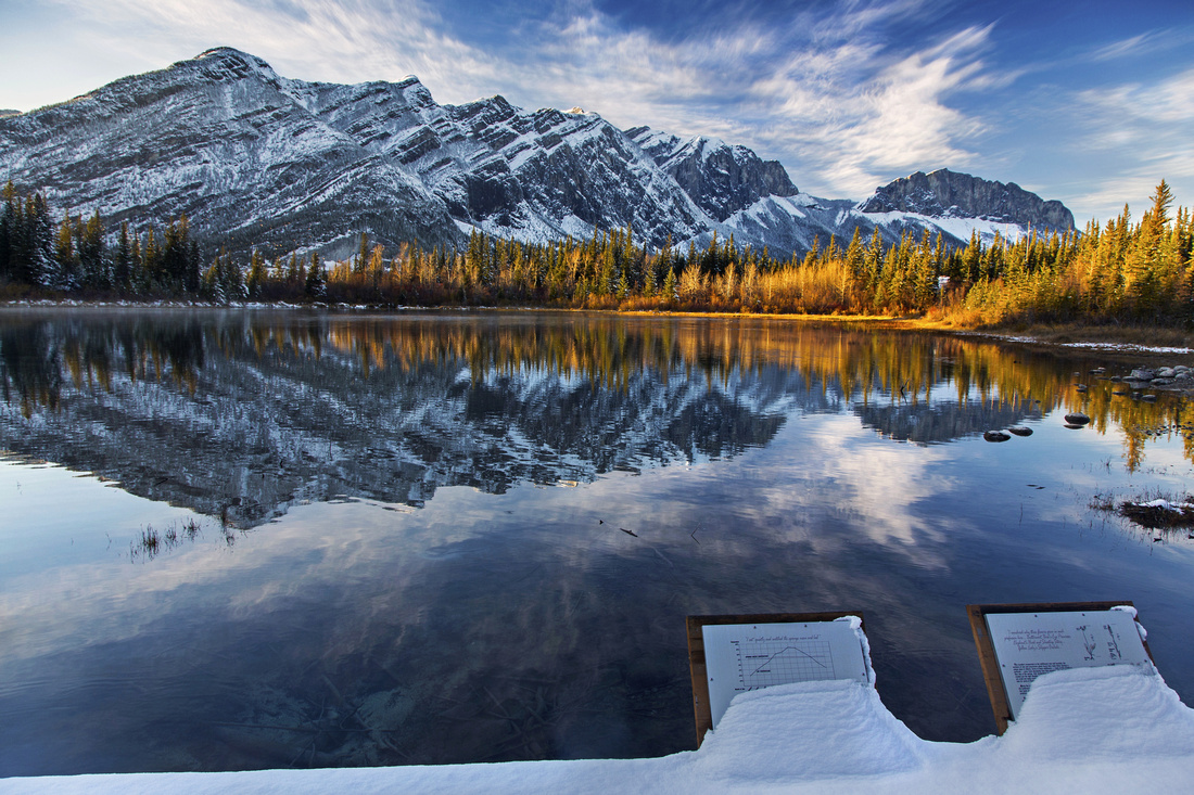
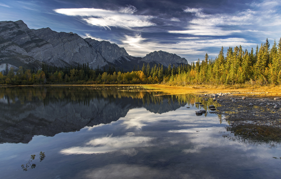 Views from south end of Many Springs towards Yam area
 |
|||
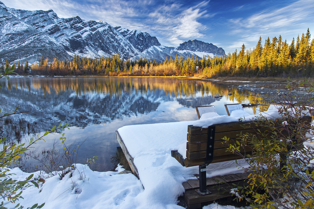
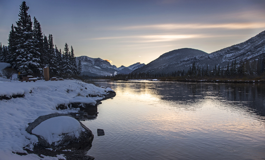
 Whitefish picnic area along Bow River in winter setting
 |
|||
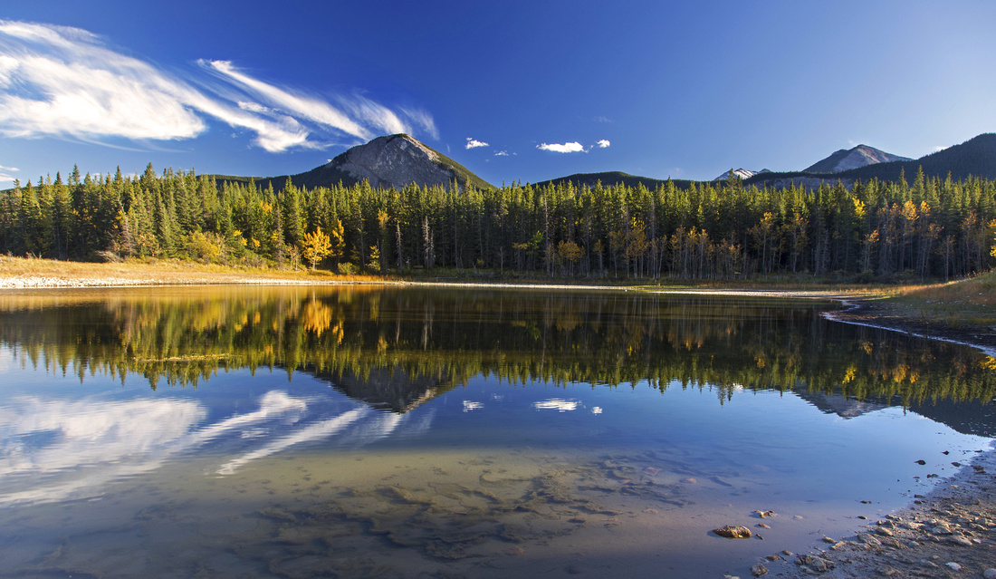
 Middle Lake in early October
 |
|||
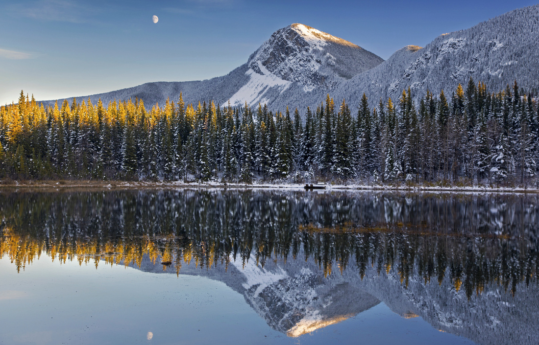 Yates Mountain from Many Springs
 |
|||
 Yam views from Many Springs
 |
|||
 Whitefish picnic area
 |
Abstract
| Overall Difficulty | D1/2 | Generally flat and undemanding walk on established trails. | |||
| Snow Factor | S1 | Windblown and snow free most of the year. Possibility of icy sections | |||
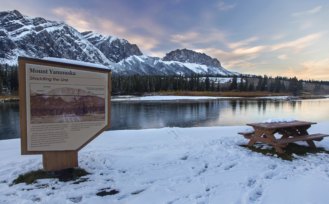
| Scenery | Classic Foothills scenery. Aspen forests and lovely lakes. Bow River and Mt. Yamnuska | ||||
| Trail/Marking | Excellent | Official Park trails with signed junctions. Connection between Bow River and Moraine Trails passes through campground and might be hard to find | |||
| Suggested Time | 3 hrs | If doing full loop as suggested on GPS map; relaxed pace. Many shorter options available | |||
| Elevation | Start: 1310m Max: 1320m Min: 1280m Total: ~120m | Full Loop: ~8km | |||
| Gear | Day hikers. Micro-spikes might be helpful in winter for icy sections | ||||
| Water | Water can be found at Bow campground. Short trip, carry 0.5 - 1L | ||||
| Dog Friendly | Yes | Please keep control of the pet around the campground. Many Springs frequented by elk specially in early evening | |||
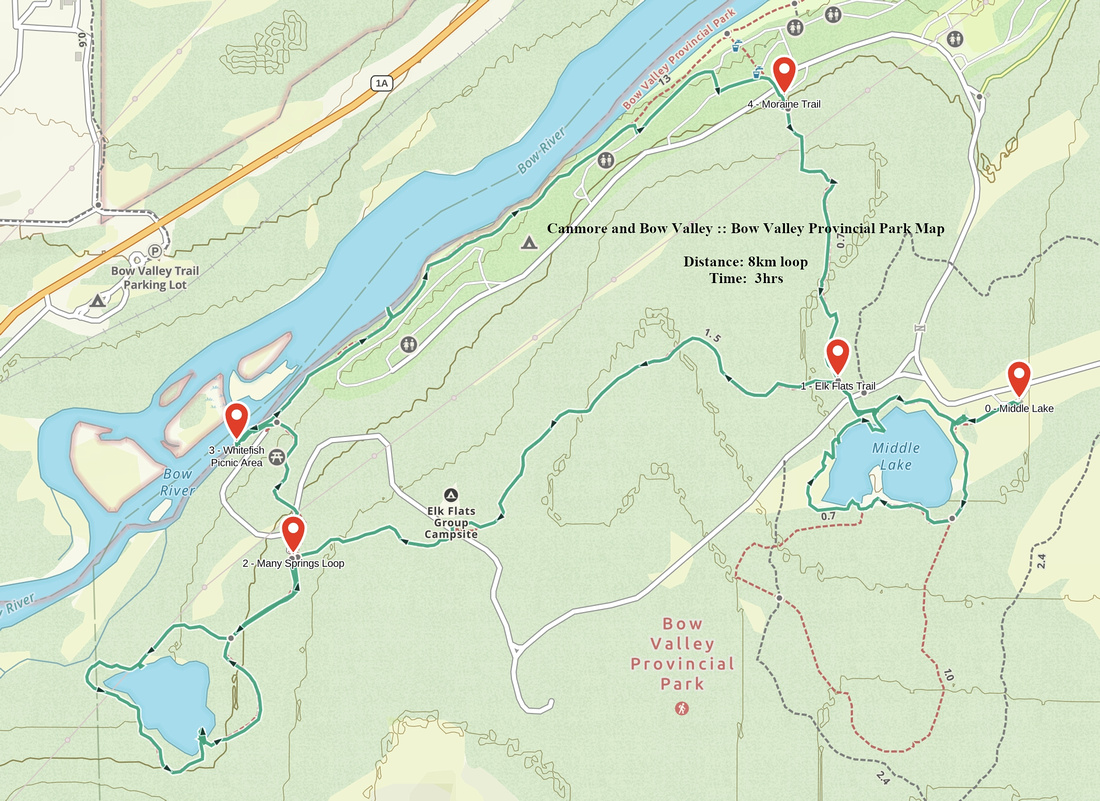 Bow Valley Provincial Park GAIA Map
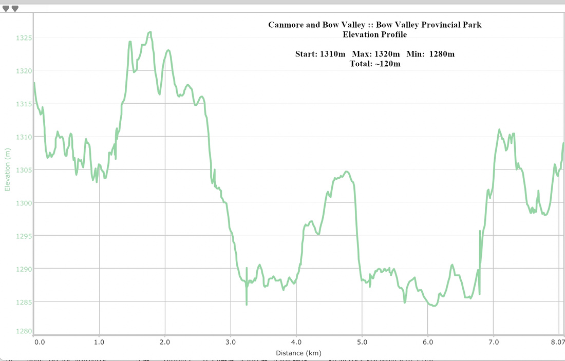 Bow Valley Provincial Park Elevation Profile