Google Map |
USA :: Sedona :: Margs Draw |
GPS Track |
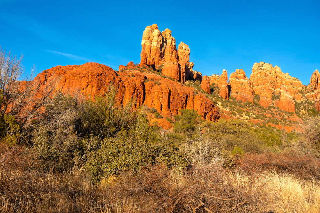 
Snoopy Rock lit by late Afternoon Sun from central part of Margs Draw Trail |
|||
| Trip Summary | |||
Dec 9, 2023
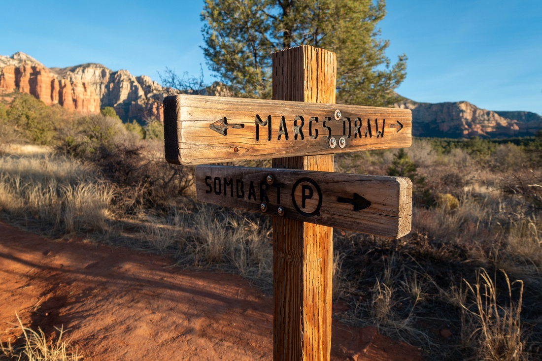
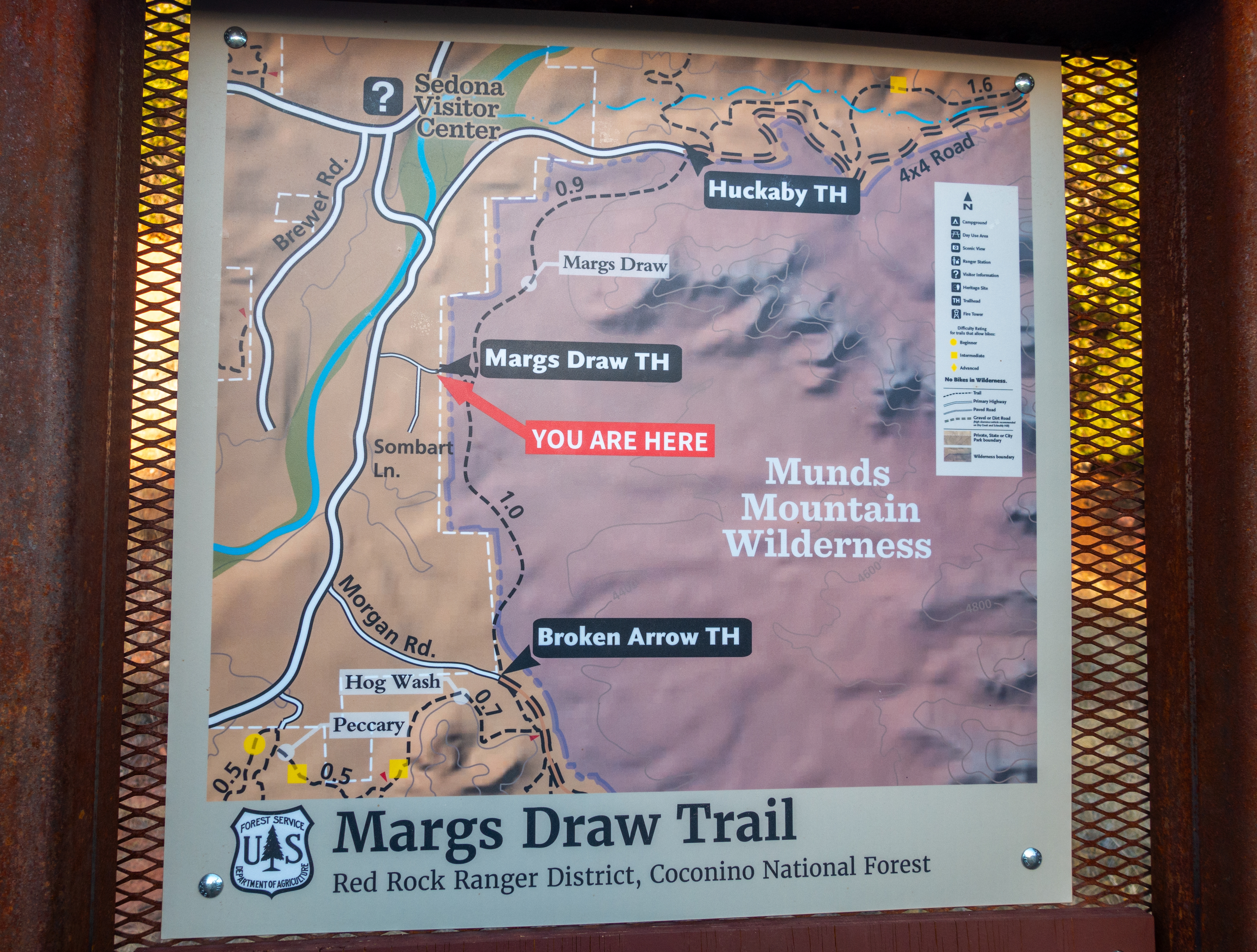
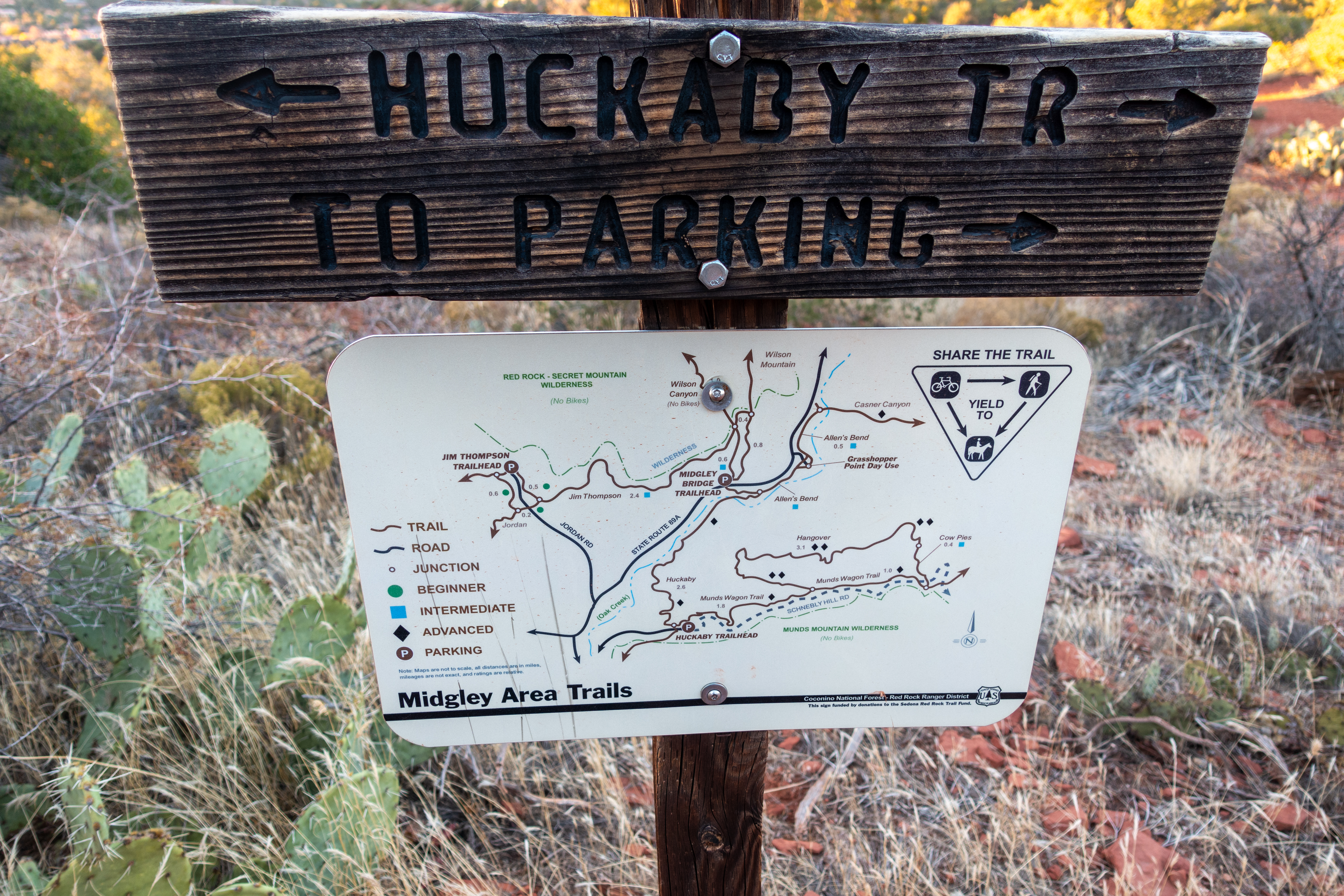
Margs Draw is short trail connecting Broken Arrow and Huckaby Trails ending at Schnebly Hill Road. Broken Arrow side is accessed via Morgan Rd (dirt); for my trip I opted for shorter variation that starts at top of Sombart Lane (paved), then hiked brief connector intersecting Margs Draw about halfway. Turning left (north) I followed undulating trail below impressive Snoopy Rock to north terminus at Schnebly Hill Road. On return I did brief side hike to beautiful Snoopy Slickrock. Junction is unmarked and I already shut GPS so I can't give precise coordinates but it will be on east side ~10min from point where Sombart Lane approach intersects Margs Draw. This is one of nicest spots for sunset in Sedona area I have seen. Faint trail continued past Slickrock towards Munds wilderness, possibly connecting somewhere around Submarine Rock (see Chapel Loop). One can presumably also scramble upper plateau of Snoopy Rock from here, but reaching true summit is technical.
For longer day there are other options, including continuing on Huckaby Trail to Oak Creek or exploring Munds Wagon trail. Margs Draw (Trail #63) by itself is undemanding family-friendly outing, best done later in the day when afternoon sun lights up Snoopy Rock Butte on Fire. |
|
Gallery |
|||
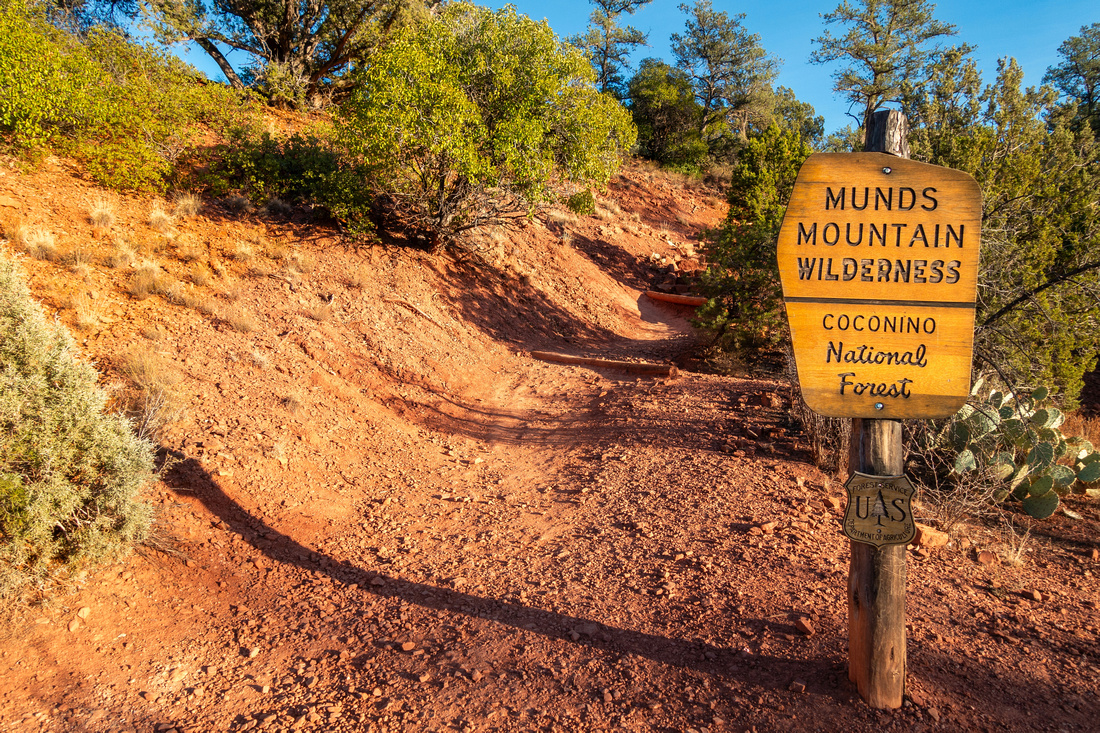 Munds Wilderness Sign Munds Wilderness Sign Coconino National Forest Sign above Sombart Lane Parking Area
 |
|||
 |
|||
|
|
|||
 Sedona Skyline Sedona Skyline Late Afternoon sun reflects off western Sedona Skyline. L-R: Capitol Butte, Coffee Pot and Sphinx Rock
|
|||
 Margs Draw Sign Margs Draw Sign Margs Draw Trail End by Schnebly Hill Road
 |
|||
|
|
|||
 |
|||
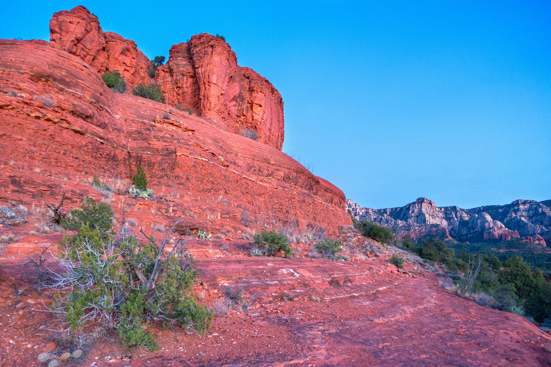 Snoopy Slickrock Snoopy Slickrock Delightful Side Trail on Snoopy Slickrock on return - highly recommended extension
 |
|||
 Cathedral Sunset Cathedral Sunset Vibrant Sunset Sky Horizon behind Cathedral Rock from Snoopy Slickrock
 |
Abstract
| Overall Difficulty | D1/2 | Mostly easy walk with couple of minor ups/downs and rocky parts | |||
| Scenery | Snoopy Rock, Mitten Rock, Munds Wilderness and other Sedona Red Rock Landmarks. Fabulous Sunsets at Snoopy Slickrock | ||||
| Trail/Marking | Very Good | Official Sedona Trails with marked junction and trail maps. Optional Snoopy Slickrock trail not marked but still easy to follow | |||
| Suggested Time | 1-2 hrs | Sombart Lane start, return same way with (optional) side trip to Snoopy Slickrock | |||
| Elevation | Start: 1295m Max: 1350m Total: +95m -40m | Round Trip: 4km | |||
| Gear | Light hikers are sufficient | ||||
| Water | No reliable source. Carry 0.5-1L or more, depending on season | ||||
| Dog Friendly | Yes | Frequented by Mountain Bikers - keep control of your pet | |||
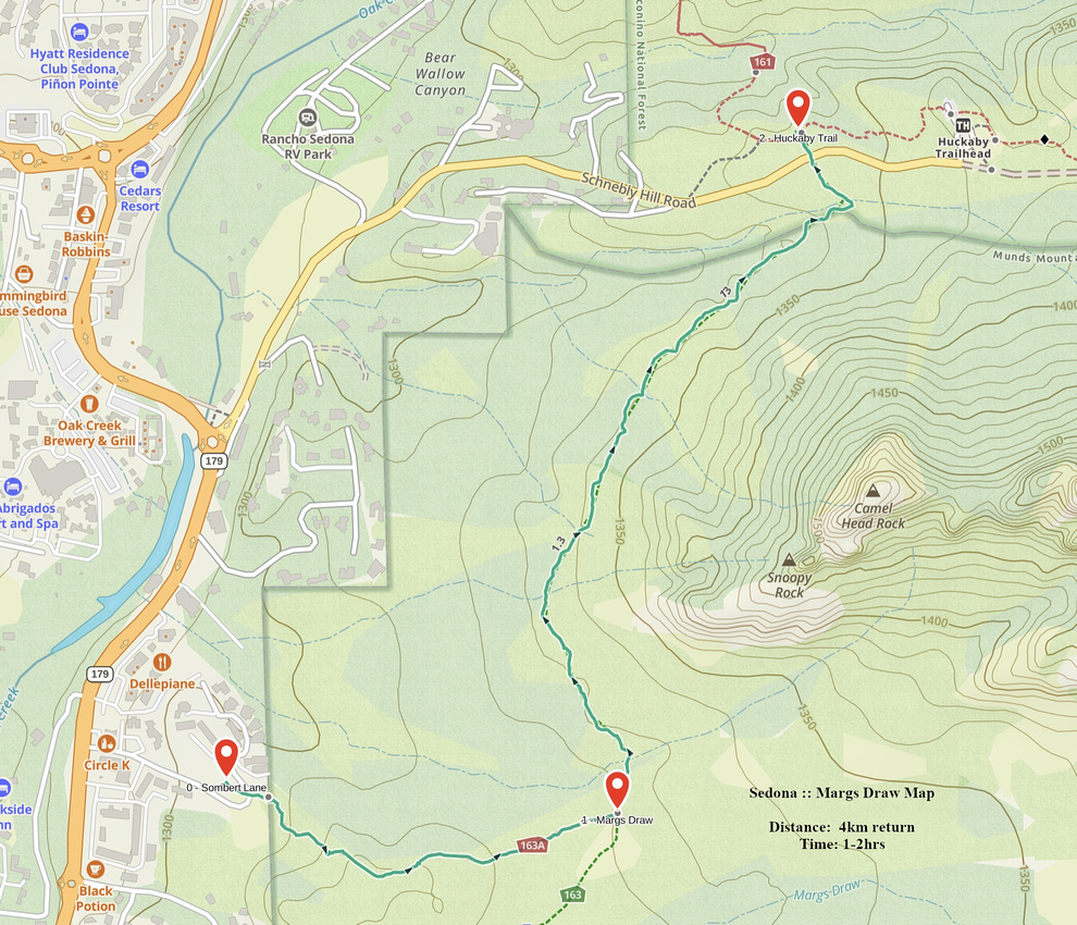 Margs Draw GAIA Map
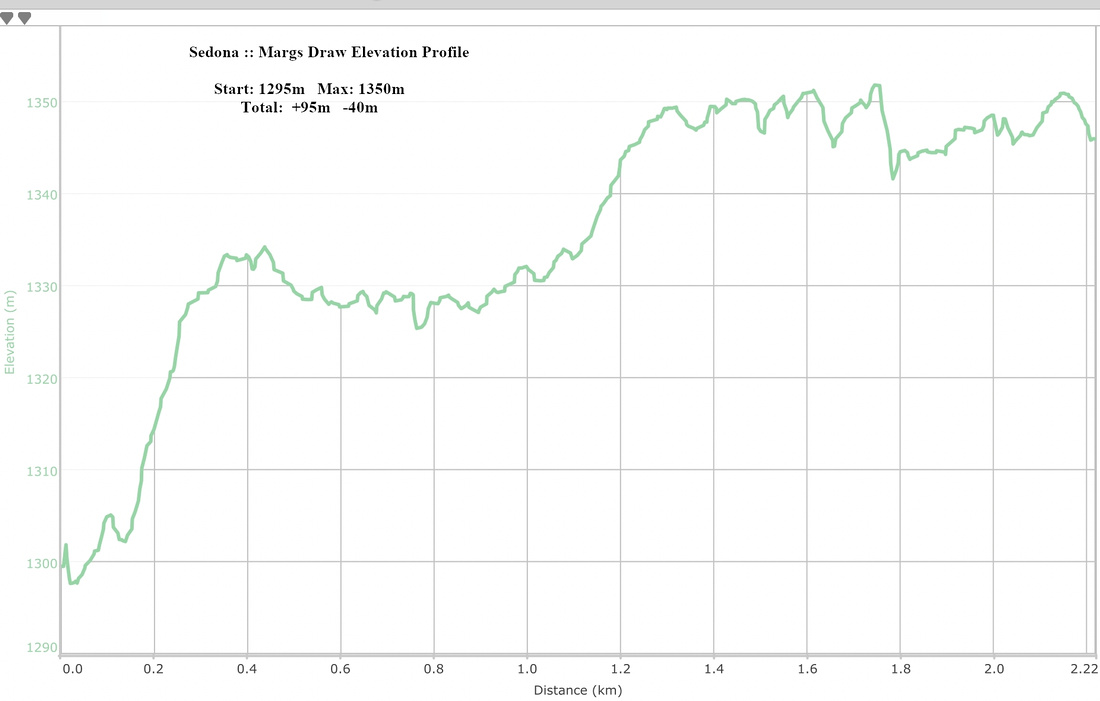 Margs Draw Elevation Profile
