Google Map |
Rockies :: Kananaskis :: Grizzly Peak |
GPS Track |
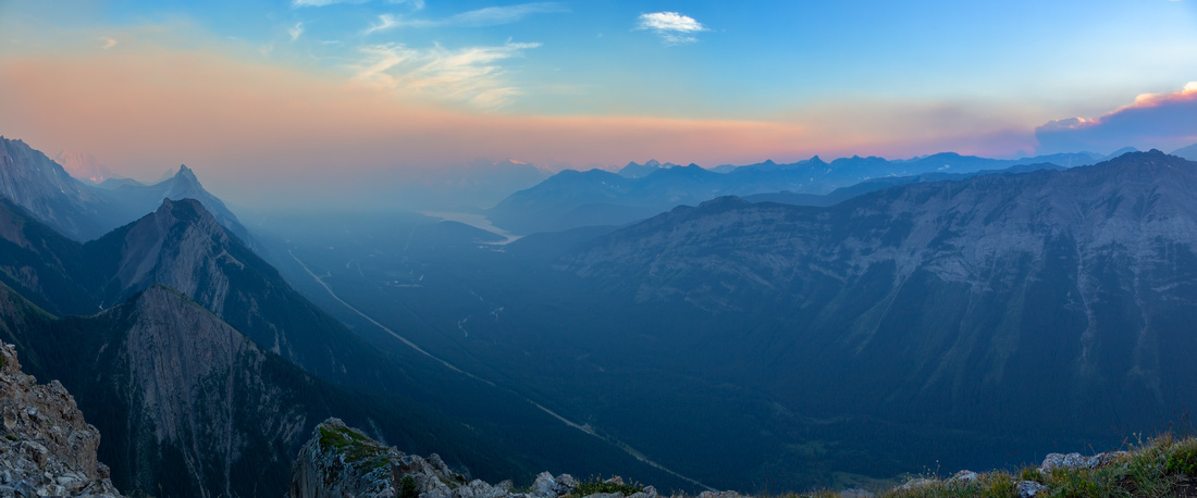 
Wildfire smoke moving over Kananaskis Lakes from Grizzly Peak summit in late July '24 |
|||
| Trip Summary | |||
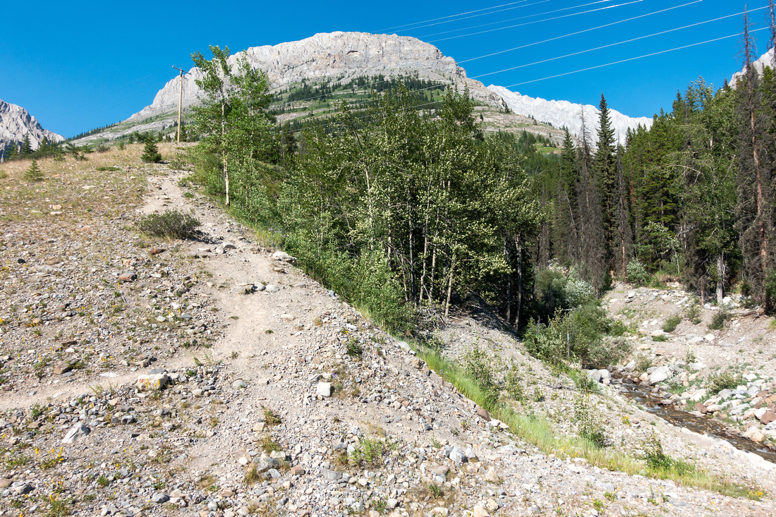
Multiple Dates, last July 24 '24One of several Opal range front bumps extending between Fortress Junction and Kananaskis Lakes turnoff. Mostly steep hiking with one easy class 2 Rock step. Inclusion in Scrambles guidebook caused infamous "Kane effect" - what was once just sporadic animal path, now became well trodden and occasionally quite eroded highway. Trickiest part might be the parking - pullout at north side of Ripple Rock Creek, shortly south of signed Grizzly Creek turnoff; first photo in Gallery, Waypoint "0 - Ripple Rock Creek", GPS Download Top of Page. Trail is easy to follow as it ascends grassy hillside, then after brief scramble up short cliff band contours Grizzly Peak south side. Views of Mt. Packenham and Mt. Evan Thomas are very scenic; key reason why afternoon is better time because of sun position. Majority of elevation gain occurs after rounding the shoulder; hiking poles help tremendously here, specially on descent. Snow here would be very dangerous - it is best to wait for dry conditions. After topping up on wide meadowy Evan Thomas saddle, remainder is easy angled 15min walk to summit ridge. Highest Point - Grizzly Peak - is on the south side, but didn't have cairn or register on either of my 2 visits.
Trip can be extended by traversing entire summit ridge and by exploring Evan Thomas meadows at the saddle (prime grizzly habitat!). It is worth noting so called "Grizzly Peak South Ridge"; line can be found on GAIA maps. This dangerous alternative should be avoided; it is entirely unnecessary, only appealing to Social Media Scrambling hordes fighting for bragging rights. Return the same way. |
|
Gallery |
|||
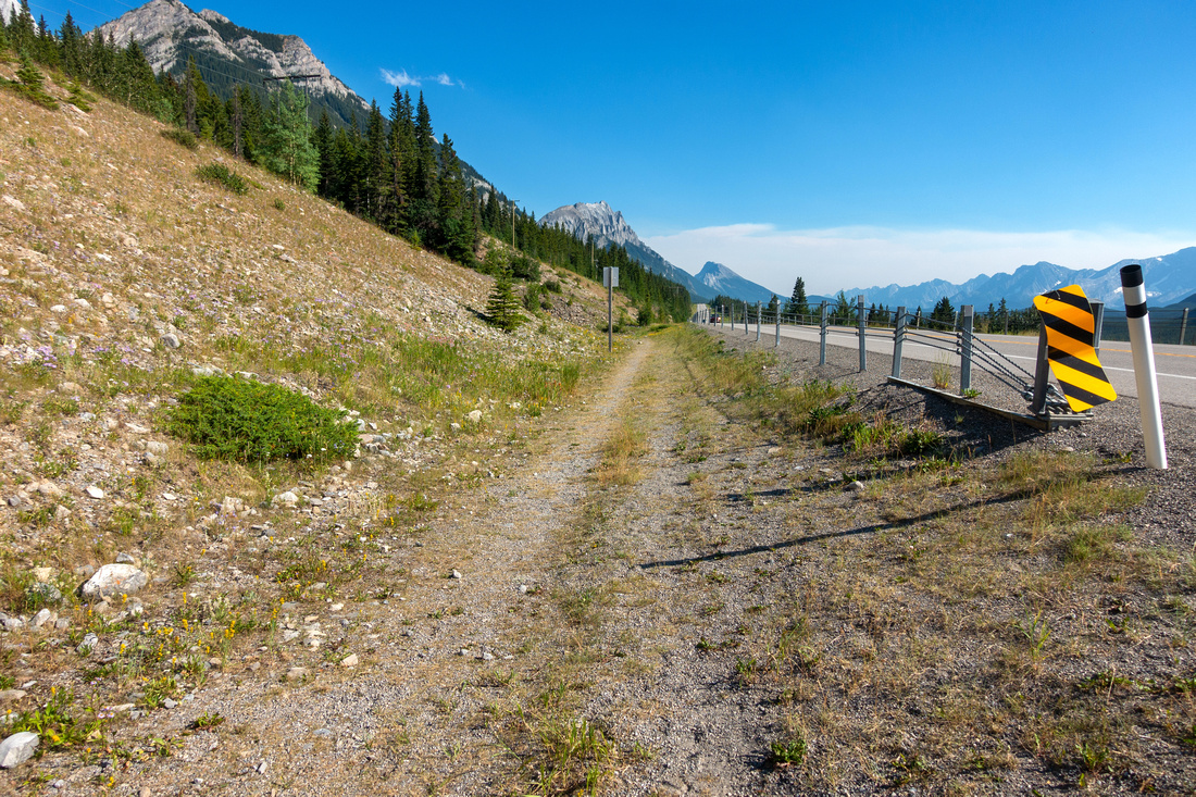 Trailhead Parking Trailhead Parking Parking space on Hwy40 East side by Ripple Rock Creek Drainage
 |
|||
|
|
|||
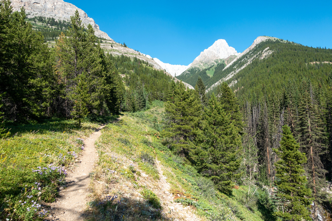 Grizzly Trail Grizzly Trail Initial flat section does not last long. White Cone of Mt. Packenham upper right
 |
|||
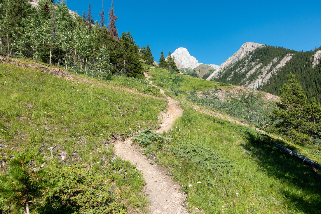 Grizzly Trail Grizzly Trail Trail soon starts gaining elevation ascending grassy hillside
 |
|||
 Eroded Trail Eroded Trail Looking down eroded switchbacks just below Rock Step
 |
|||
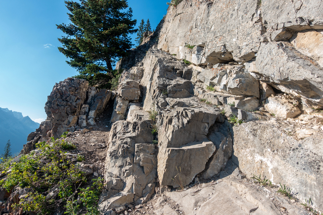 Crux Step Crux Step Easy Class 2 Scramble Step ~30min from Trailhead. I walked the ledge in center; easier option circles around tree on left side
 |
|||
|
|
|||
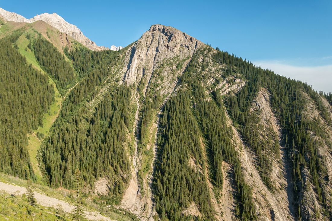 Packenham Junior Packenham Junior Packenham Junior is short and pleasant hike, starting at Ripple Rock Creek south side
 |
|||
 Sidehilling Trail Sidehilling Trail Trail remains relatively flat traversing Grizzly Peak south side before starting steep ascent to Evan Thomas col
 |
|||
 Steep Slopes Steep Slopes Steep grassy slopes below Evan Thomas col, looking back. Majority of elevation gain occurs. in this part
 |
|||
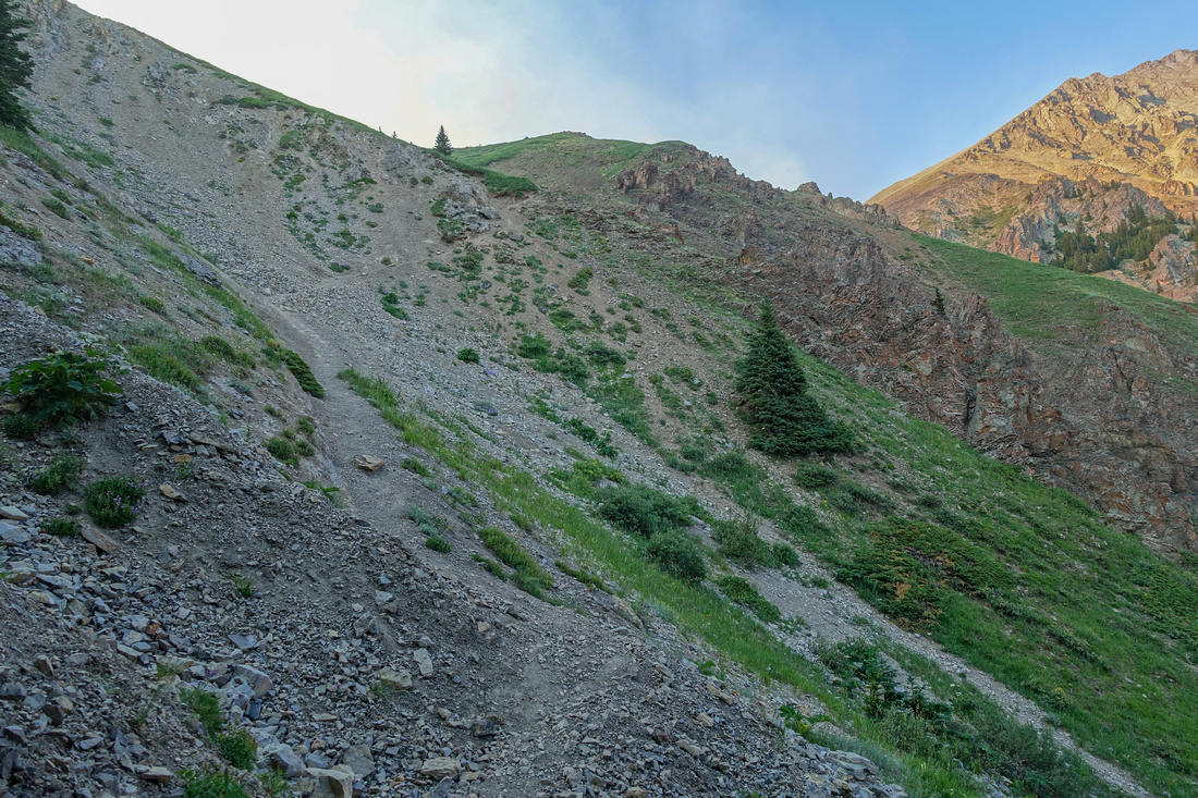 Evan Thomas Col Evan Thomas Col Trail approaching Evan Thomas col. Sections are quite eroded and require care on descent
 |
|||
 Sky Inferno Sky Inferno Topping out on Evan Thomas col with Columbia valley wildfire smoke blown by strong southerly winds painting sky orange red
 |
|||
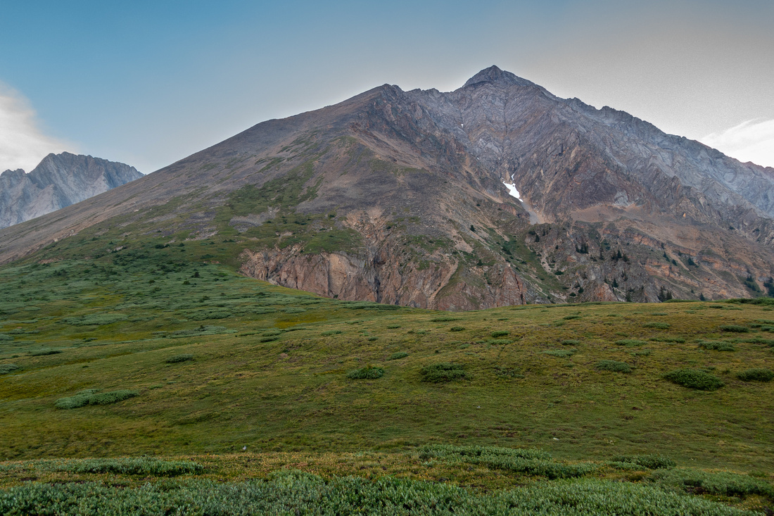 Mount Evan Thomas Mount Evan Thomas Grassy Meadow at the Col looking east to Mt. Evan Thomas - difficult and technical ascent
 |
|||
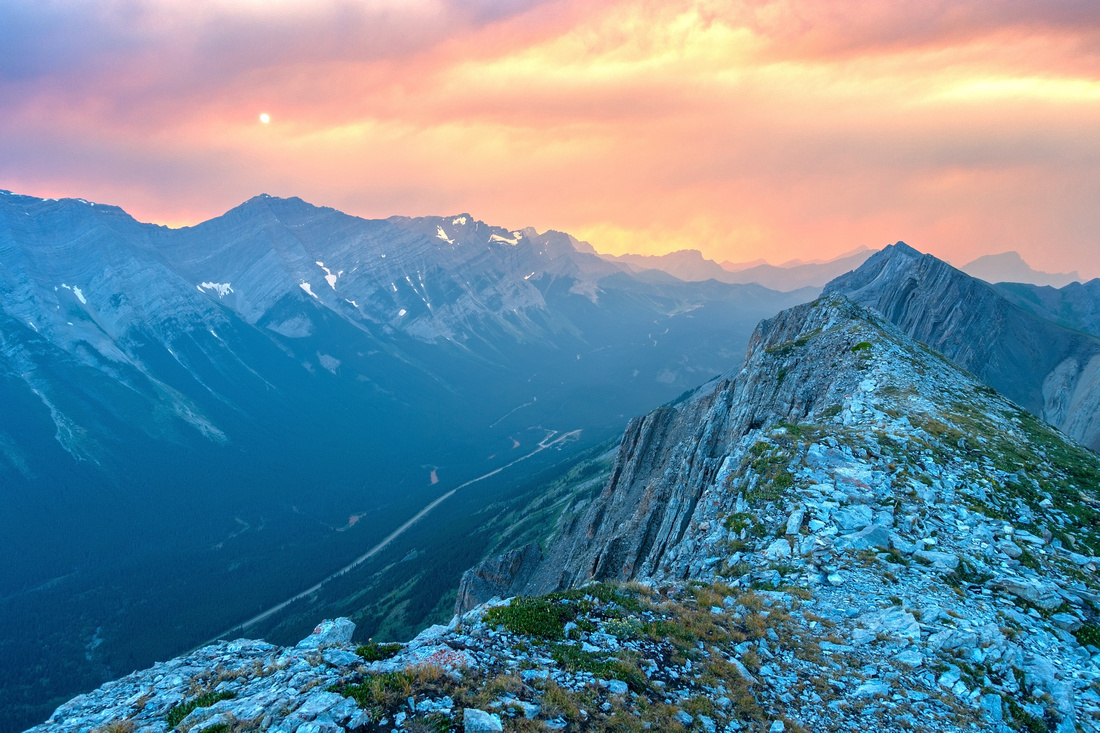 Grizzly Peak Ridge Grizzly Peak Ridge Grizzly Peak Summit Ridge ~15min above Evan Thomas col looking north. Just an hour before sky was still deep blue
 |
|||
 Grizzly Summit Grizzly Summit Summit of Grizzly Peak looking down south ridge; much more difficult and entirely unnecessary route, despite line found on GAIA maps
 |
|||
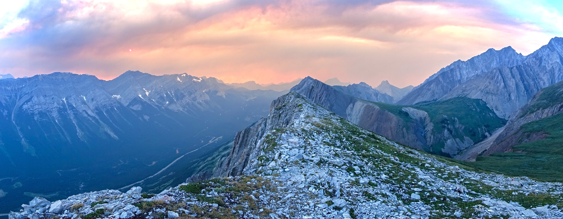 Grizzly Panorama Grizzly Panorama Grizzly Summit Ridge Panorama looking north Hwy40 corridor. Opal Ridge across
 |
|||
 Sheer Cliffs Sheer Cliffs Sheer cliffs at Grizzly Peak west side looking down to Kananaskis Trail before starting descent
 |
Abstract
| Overall Difficulty | D5 | Mostly steep Hiking with one short class 2 Rock Steep. Eroded sections require care on descent | |||
| Snow Factor | S4 | Wet and non-supportive snow on steep south slopes would be very dangerous. Wait for dry conditions | |||
| Scenery | Opal Range Peaks and distant Kananaskis Lakes area | ||||
| Trail/Marking | Good | Unofficial, but well defined trail with occasional flags and cairns | |||
| Suggested Time | 5hrs | Moderate pace including breaks. Add 30min to an hour if exploring north end of Grizzly Ridge and Opal Meadows | |||
| Elevation | Start: 1665m Max: 2540m Total: ~875m | Round Trip: 6km | |||
| Gear | Full hiking boots much preferred for ankle support. Poles essential for stability on eroded sections. Gaiters helpful | ||||
| Water | Ripple Rock Creek at trailhead, none after. Carry 1-2L, depending on conditions | ||||
| Dog Friendly | Yes | Standard back-country precautions | |||
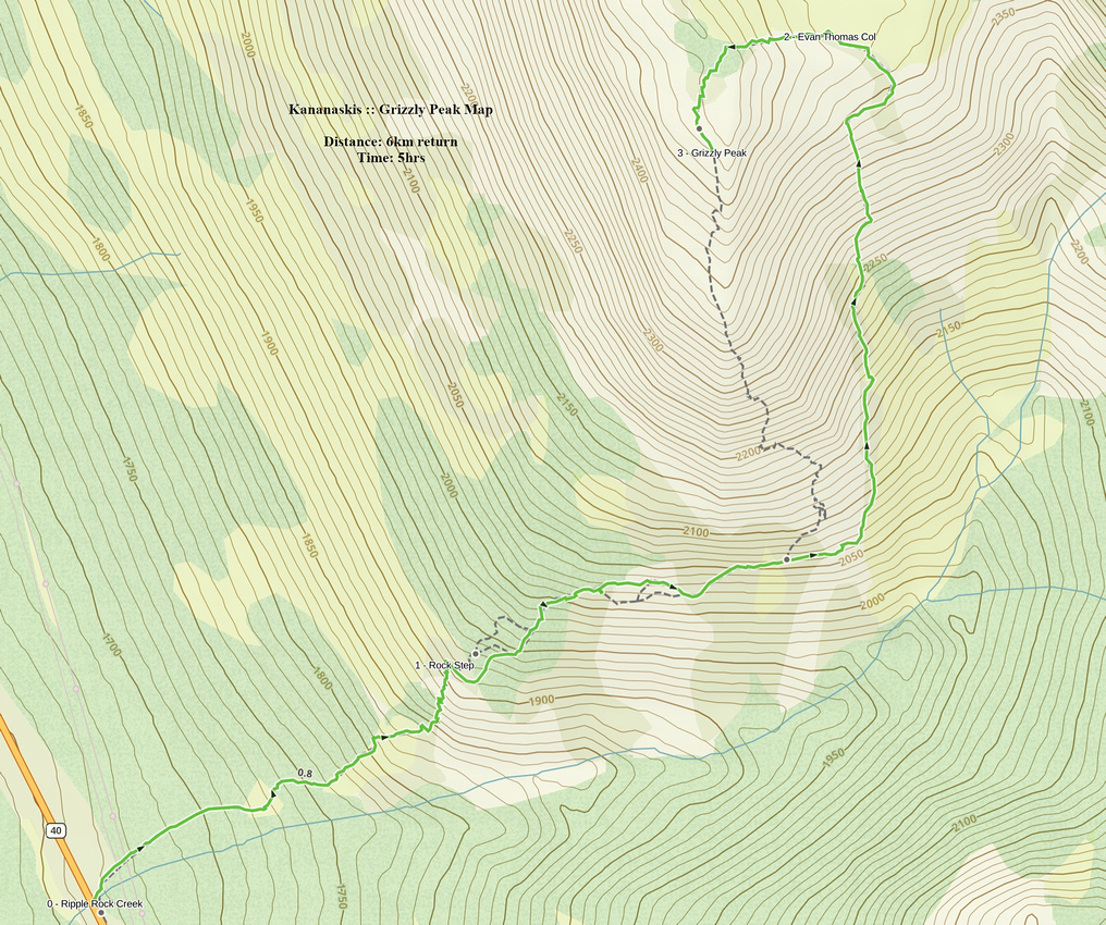 Grizzly Peak GAIA Map
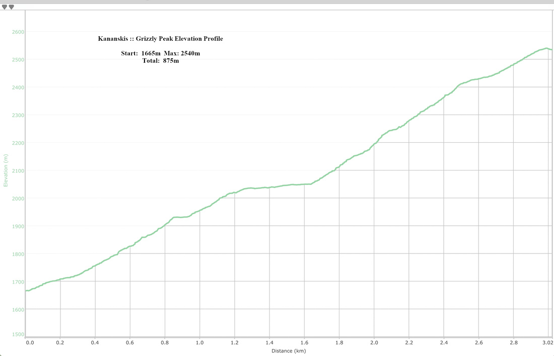 Grizzly Peak Elevation Profile
