Google Map |
Rockies :: Icefields :: Quartzite Col |
GPS Track |
|
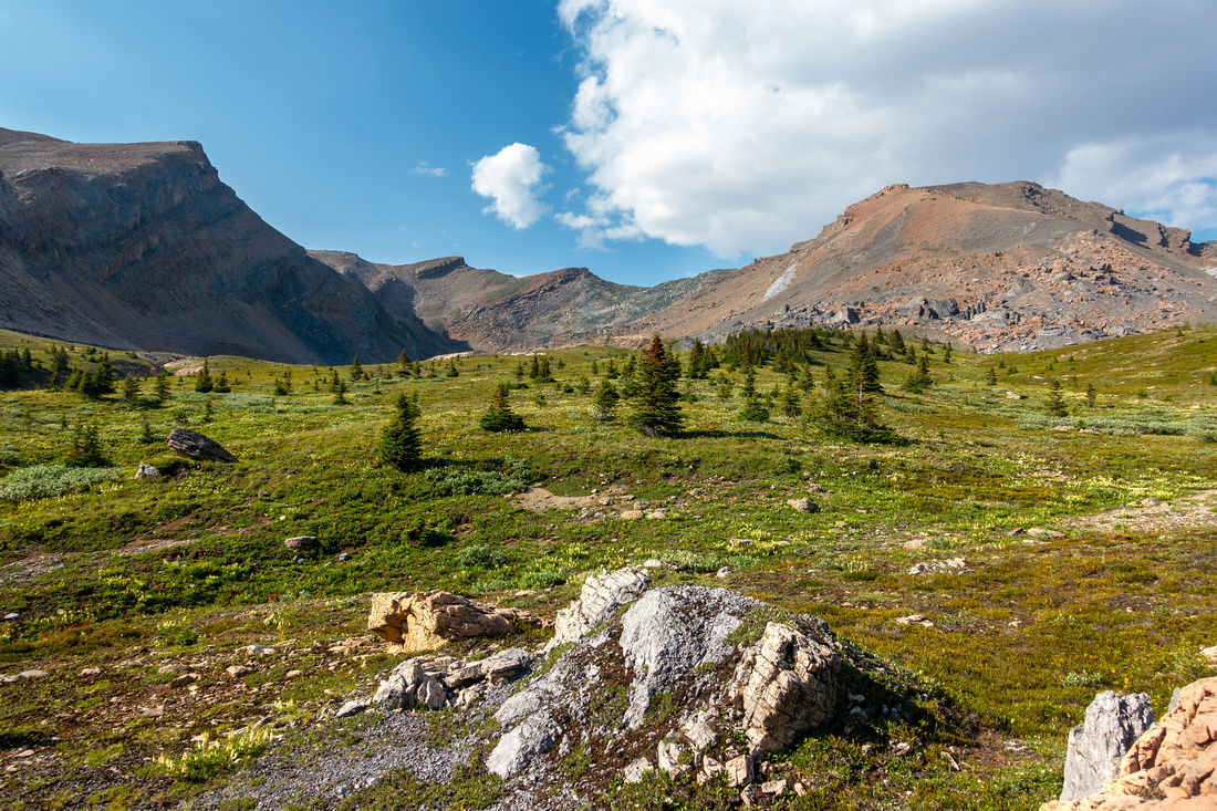
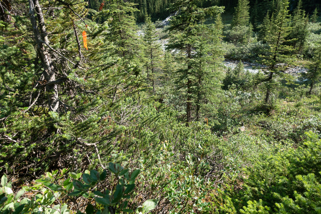
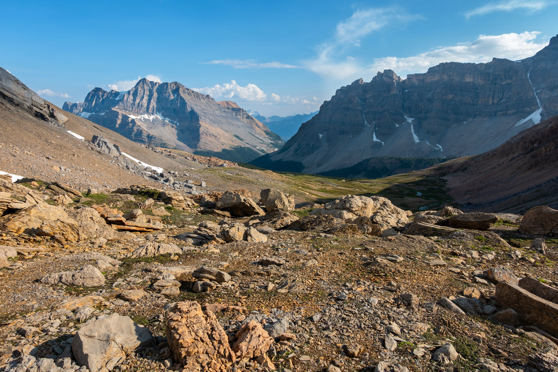
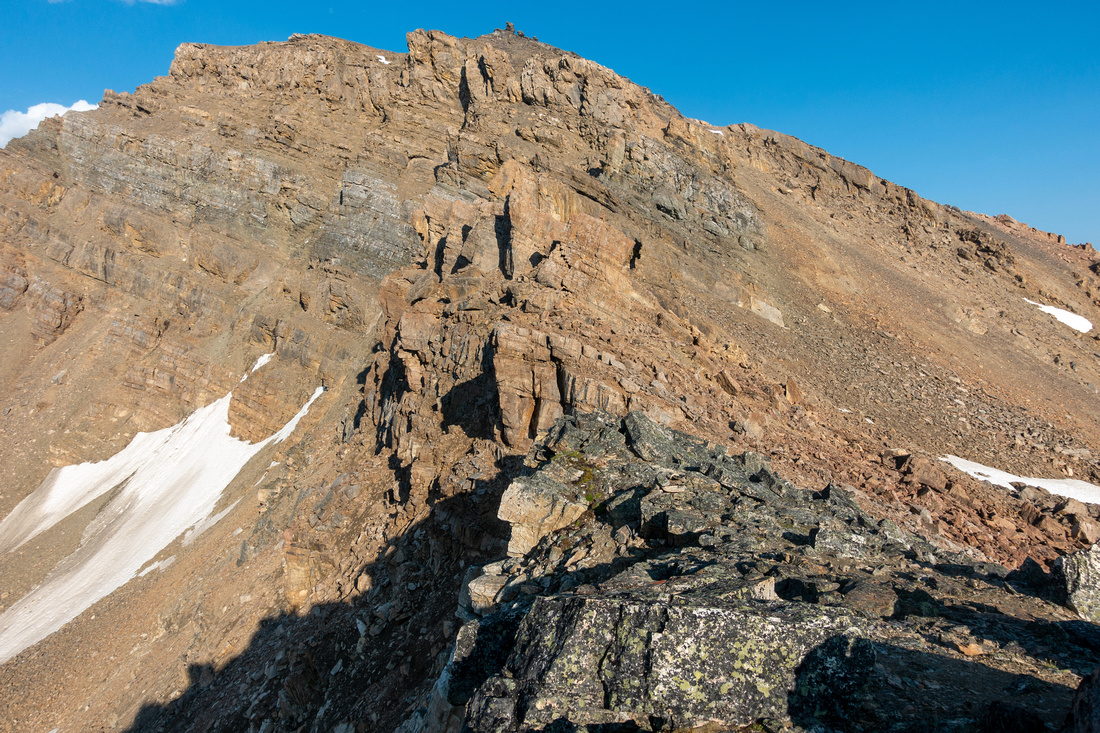
Hiking Alpine meadows on Quartzite west side, aiming for transition between dark and light talus just right of center |
|||
| Trip Summary | |||
July 8, 2023Infamous Express Route into Siffleur Wilderness, commonly used by mountaineers heading for Mt. Willingdon. There is plenty of contradicting - and confusing - information about Quartzite Col route on Internet, ranging from "easy scramble" to "difficult and dangerous". Aiming to gather accurate information both for purpose of this site, and personal future exploits I decided on day hike with light pack from Mosquito Trailhead, as presented on this page.
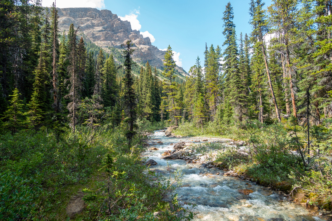
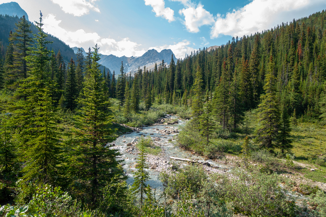
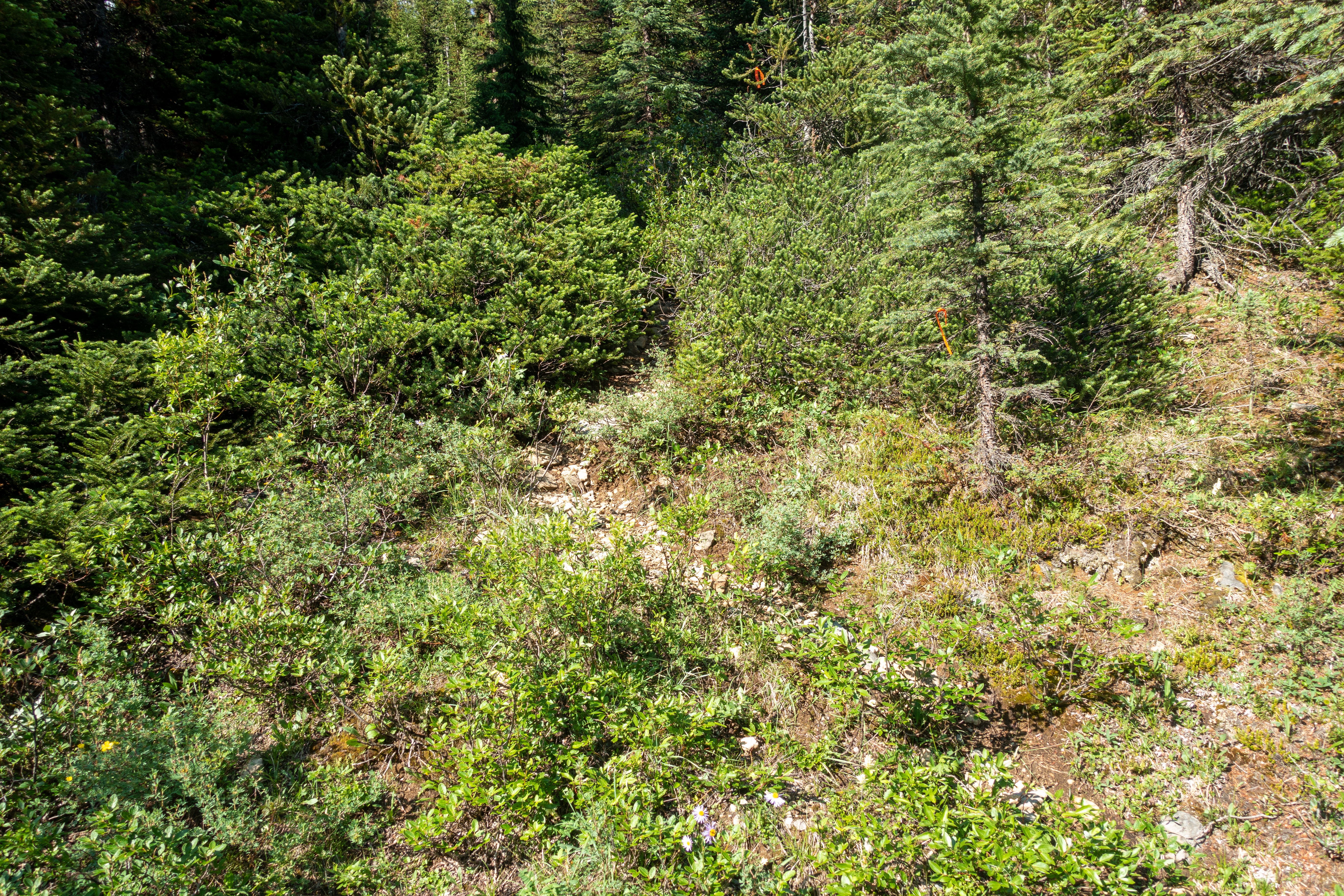
Leave main Mosquito Trail at Forks, ~4km from the Parking, just before crossing the bridge about 15min before MO5 campground (Waypoint "1 - Forks"). Faint, but generally well defined trail follows left (east) side of Mosquito North Creek and is easy to follow. In about an hour sizable creek comes in from the left; it drains rarely visited meadows below Watermelon S2 (also called OXO or Puzzle Peak, usually climbed from South Dolomite Pass on the other side). Easiest spot to cross without taking boots off is by heading slightly up this creek. Trail now completely disappears. It appears most people now bushwhack along Mosquito North to prominent drainage ~1km further up, but there is better way. Be on a lookout for flags at east side ~5min past Watermelon Creek (Waypoint "2 - Ford"). Ford here is very easy - just a simple rock-hop. Trail heads into forest, but soon fades away. I followed minor dry watercourse till it petered out, then hiked up diagonally thinning forest towards large boulder field below Quartzite Peak (see Gallery). Quartzite Col now comes into view and route finding is over. Ensuing part through open meadows is very pleasant, but be aware of bears - plenty of diggings. Below the col, as grass transitions into talus (~1hr from Mosquito North), some cairns appear, as well as bits of trail aiming for spot on the ridge to climber right of low saddle. This is critical part if you plan crossover as it is the easiest spot to descend on the other side. It will take less than 30min from end of meadows, 3.5 - 4 hrs from Icefields (more with overnight pack).
East side is much steeper and more difficult. Anyone in doubt should do a similar dayhike first to evaluate conditions - coming here with overnight pack to find out descent is not to their liking and having to return would be quite a waste. It is also worth nothing such dayhike is worthy trip by itself as views into Siffleur are fantastic, including Clearwater Mountain with Mt. Willingdon / Crown behind Clearwater Pass. On my trip I returned the same way, but with enough time/energy it is possible to extend the day by descending to upper Mosquito North, then looping back by Watermelon Meadows below Puzzle Peak
Conclusion: Quartzite Col route, while offering substantial time saving, is by margin more difficult when compared to other two Siffleur crossovers I used in the past (Hikers Molar Pass and Scramblers Mosquito Col). There is plenty off trail hiking, creek fords and route finding - on both sides. East side, while not desperate, is very steep and challenging, specially with overnight pack. Conditions should be snow free, otherwise it is mountaineering. If you are first time visitor to the area, do yourself a favour and approach Siffleur via Fish Lakes / Pipestone Pass. This is one of most scenic back-country routes Rockies have to offer and mostly easy going. Fish Lakes have Parks official campground, but bivi can also be made by Moose Lake ~1hr from Fish Lakes. For experienced people, specially if Willingdon climb is ultimate goal, Quartzite col is probably way to go. But even then conditions will play big role and crossover should not be attempted too early in season. |
|
Gallery |
|||
 Mosquito North Mosquito North Surprisingly well defined trail following left side of Mosquito Creek north branch
 |
|||
 Mosquito North
Valley widens as trail gets more faint crossing boggy areas, still on west side of the creek Mosquito North
Valley widens as trail gets more faint crossing boggy areas, still on west side of the creek |
|||
 Watermelon Creek
"Watermelon Creek" just over an hour from the Forks. Climb a bit higher for good spot to cross. Trail now completely disappears Watermelon Creek
"Watermelon Creek" just over an hour from the Forks. Climb a bit higher for good spot to cross. Trail now completely disappears |
|||
|
|||
|
Easy Rock Hop without need to get boots off. Noseeum Peak in the distance |
|||
 Flagged Route
Looking back heading into forest after fording Mosquito North; note flags. Bit of trail appears here but soon vanishes Flagged Route
Looking back heading into forest after fording Mosquito North; note flags. Bit of trail appears here but soon vanishes |
|||
 Open Slopes
Reaching Treeline after steep off-trail ascent above Mosquito North. Aim for boulder field upper center, then angle left Open Slopes
Reaching Treeline after steep off-trail ascent above Mosquito North. Aim for boulder field upper center, then angle left |
|||
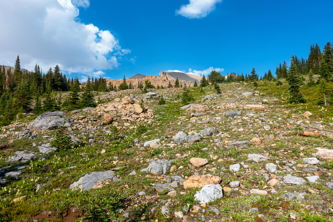
 Boulder Field
Easy hiking just below Boulder field as Quartzite Col comes into sight. Giant rock center right is good landmark for return. Boulder Field
Easy hiking just below Boulder field as Quartzite Col comes into sight. Giant rock center right is good landmark for return. |
|||
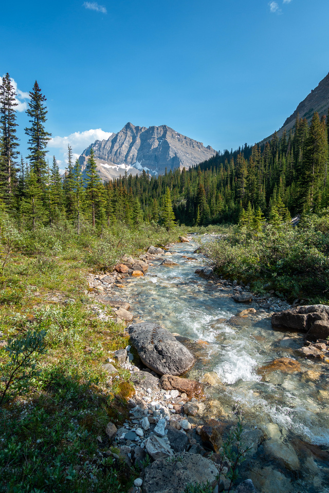
 Quartzite Peak
 would be easy scramble from here. More direct approach is ~2km mark on Mosquito North Quartzite Peak
Quartzite Peak would be easy scramble from here. More direct approach is ~2km mark on Mosquito North |
|||
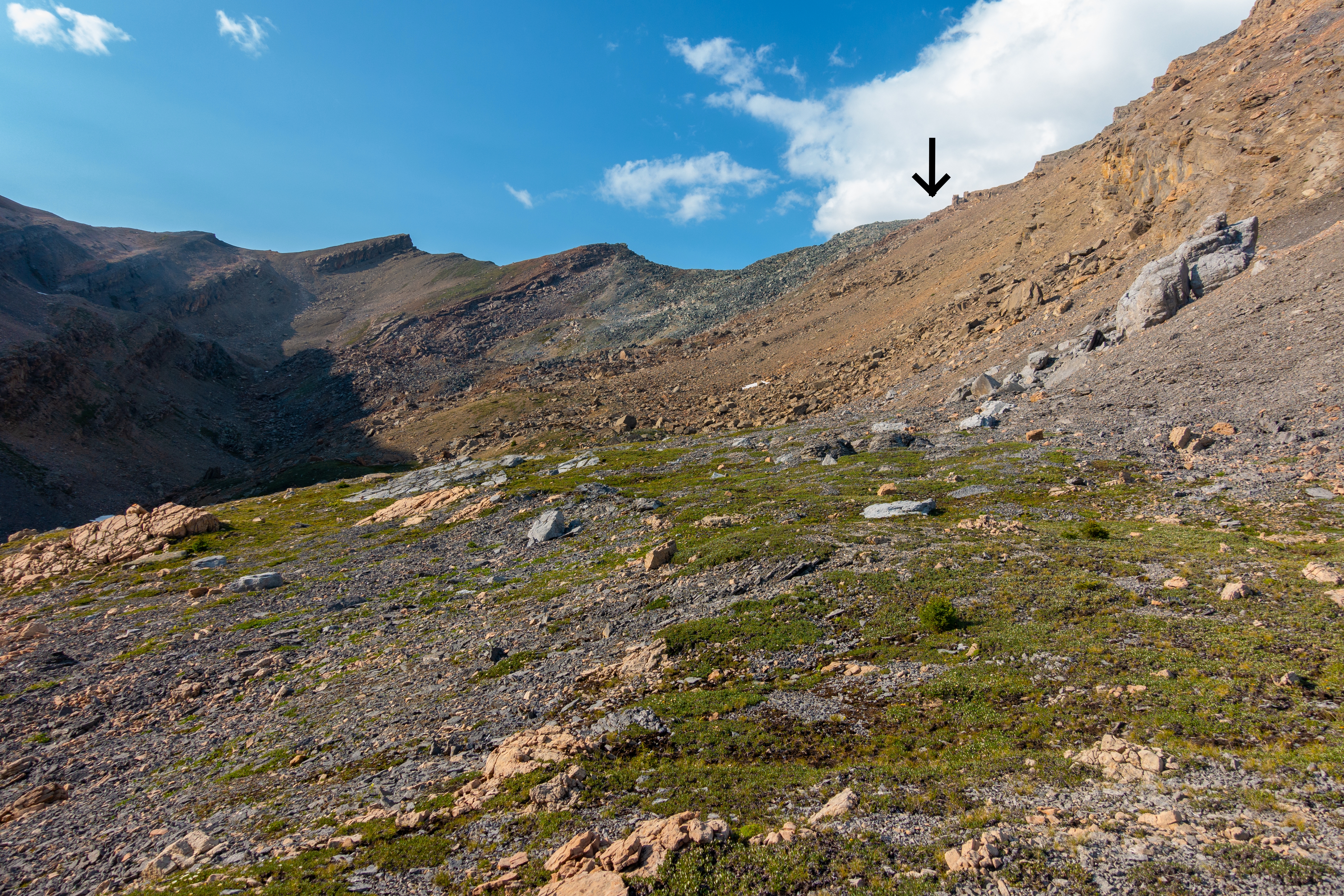
 Mosquito North Alpine
Looking back at ascent route as meadows transition into talus below Quartzite Col Mosquito North Alpine
Looking back at ascent route as meadows transition into talus below Quartzite Col |
|||
|
|||
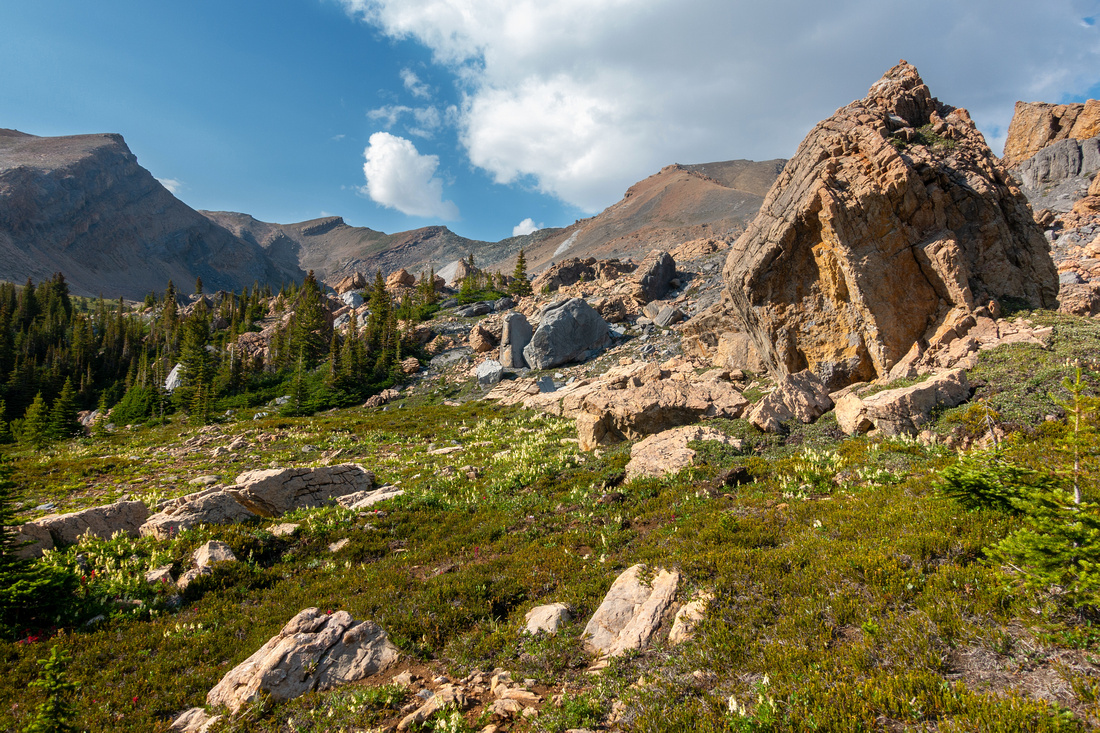
 Quartzite Gap
View through the gap after topping up by easiest spot for descent with views of Siffleur Wilderness to the east Quartzite Gap
View through the gap after topping up by easiest spot for descent with views of Siffleur Wilderness to the east |
|||
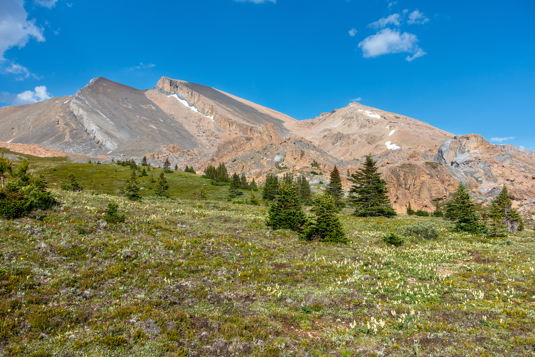
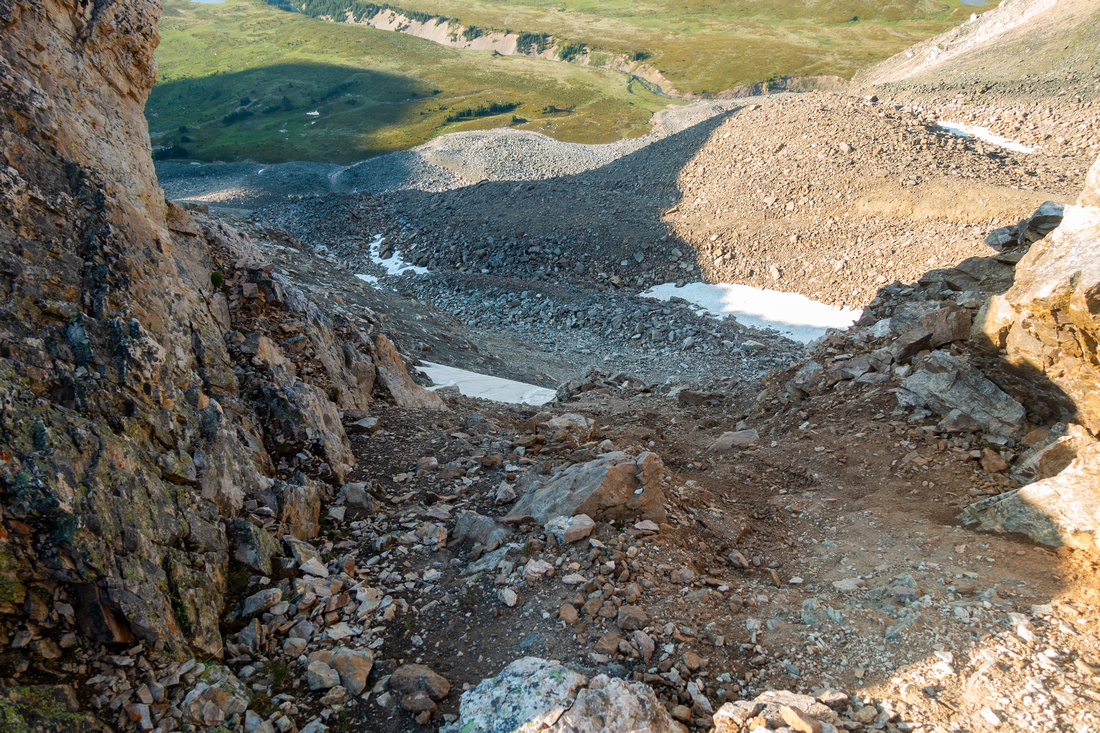 Quartzite Descent
Looking down the east side at easiest spot, steeper from what the photo indicates. For safe crossover this part should be snow free Quartzite Descent
Looking down the east side at easiest spot, steeper from what the photo indicates. For safe crossover this part should be snow free |
|||
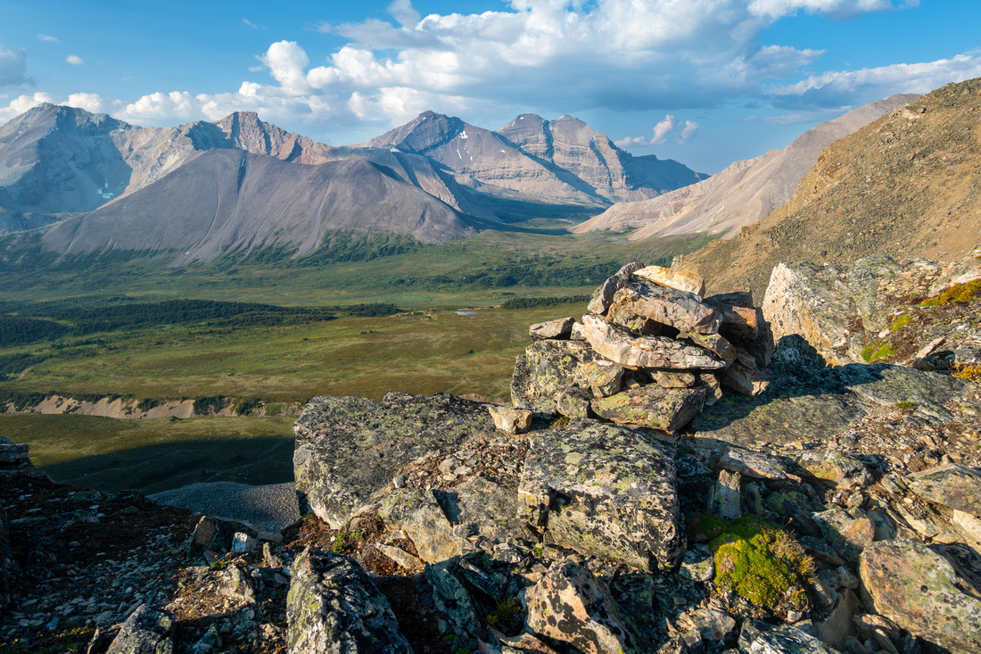 Col Cairn
Rock Cairn just above the Gap. Mt. Willingdon / Crown above Clearwater Pass center Col Cairn
Rock Cairn just above the Gap. Mt. Willingdon / Crown above Clearwater Pass center |
|||
 Quartzite Ridge
Ridge looking south at Quartzite Peak outlier few meters above the Cairn Quartzite Ridge
Ridge looking south at Quartzite Peak outlier few meters above the Cairn |
|||
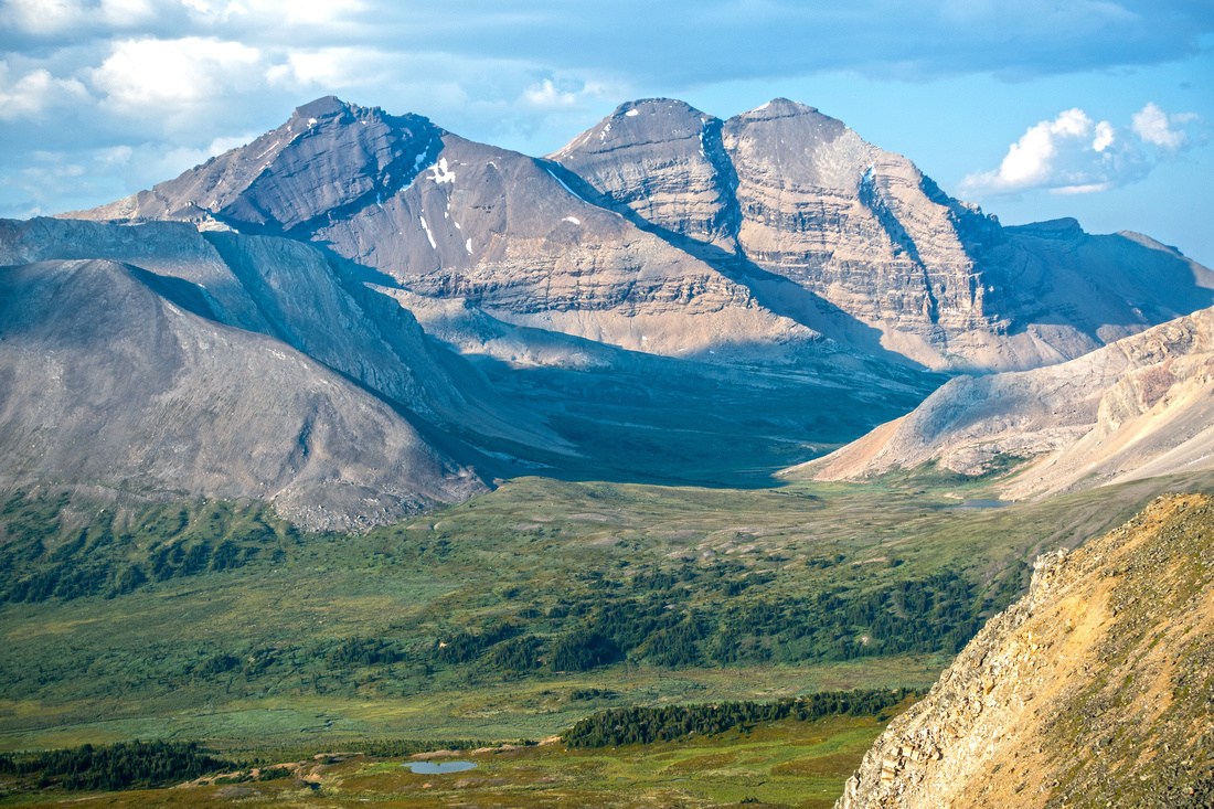 Clearwater Pass
Siffleur Wilderness Telephoto with Willingdon/Crown behind Clearwater Pass. Devon Lakes bivi is behind low sunlit ridge on right side Clearwater Pass
Siffleur Wilderness Telephoto with Willingdon/Crown behind Clearwater Pass. Devon Lakes bivi is behind low sunlit ridge on right side |
Abstract
|
Overall Difficulty |
Off trail route with mild bushwhack, creek fords and route-finding. Talus slope scramble. Very steep east side descent |
||||
|
Snow Factor |
Gentler west side presents no danger. Very steep east side should be snow / ice free |
||||
|
Scenery |
Siffleur Wilderness from the col. Alpine meadows below the Col, several Icefields summits |
||||
|
Trail/Marking |
Poor / None |
Official Parks trail to Forks, faint trail on Mosquito North, occasional flags/cairns after |
|||
|
Suggested Time |
7 hr |
Return day hike with light pack. 4hr 1-way to the Col, more with overnight pack. 7-8hrs day for Siffleur crossover to Devon Lakes bivi site |
|||
|
Elevation |
Start: 1960 m Max: 2940m Total: ~1000m |
Distance: ~10km (1-way to the col) | |||
|
Gear |
Full hiking boots, gaiters and poles. Crampons / Axe for crossover with snow / ice on east side |
||||
|
Water |
Mosquito Creek, seasonal creeks in Meadows below the Col. 1L should be enough |
||||
|
Dog Friendly |
Yes |
Day hike only, standard back-country precautions. Not recommended for crossover / overnight bivi |
|||
 Quartzite Col GAIA Map
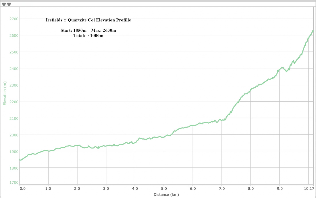 Quarzite Col Elevation Profile