Google Map |
Sawback Trail :: Mystic Pass |
GPS Track |
|
Mystic Pass is 1 of 3 Sawback Range alpine passes. While Pulsatilla and Badger are higher, I found Mystic to be the most beautiful. Typically used as Forty Mile - Johnston Creek Valleys Crossover, but also feasible as long day out-and-back hike from Moose Meadows on Hwy1A, which is how I did it in early July '24. Abstract stats are posted from Larry's Camp (JO9) Campground.
From JO9 junction Mystic Pass trail basically follows Mystic Creek upstream to the Pass. There are several crossings, first ~0.9km in, and all are bridged. While mostly below tree cover, going is still fairly scenic including open boulder field below Mystic Peak north side (see Gallery). Final climb to the Pass is somewhat steep as trail switchbacks up the Headwall and likely bit of grunt with overnight pack. Trail traversing classic Rockies meadow, culminating at 2285m highpoint (cairn), is simply wonderful deserving further exploration. Even if passing through, i.e on classic Sawback Loop, do drop heavy packs and scramble up lower Mystic Ridge at south side of the Pass for outstanding views.
From Mystic Pass trail descends for 15-20m to treeline, then reaches Mystic Lake trail ~2.5km from the Pass. It is also possible to do 1-way crossover between Moose Meadows and Mt. Norquay long day hike as Forty Mile Creek valley is well suited for fast travel. This would likely appeal more to trail runners, but has been done by fit hikers too (~35km, 800m vertical). In this case Norquay start is better option, as Mystic Pass trail is less steep on the east side. |
||
 |
|||
 Block Junction Block Junction Bridge over Drainage, 0.9km from JO9, that provides access to rarely explored Block Mountain alpine basin (several hours of horrible bushwhack and creek fords that appeals to masochists only). Mystic Trail continues on the other side
 |
|||
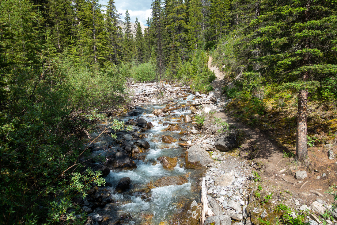 Mystic Creek Mystic Creek Crossing Mystic Creek to South Side ~2km from JO9 on another solid wood bridge
 |
|||
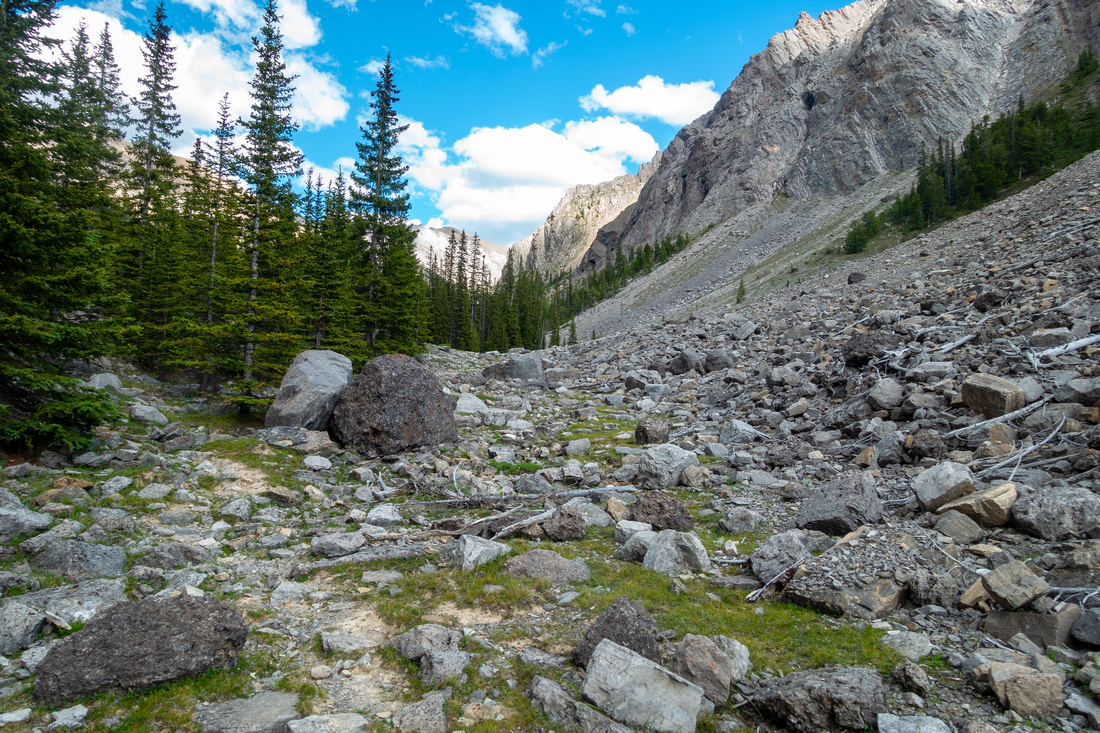 Boulder Field Boulder Field Crossing base of large Boulder slide below Mystic Peak, about an hour from JO9. Hiking this part is very enjoyable
 |
|||
 Mystic Trail Mystic Trail Hiking open larch / pine meadow after ascending steep Headwall below Mystic Treeline
 |
|||
 Mystic Meadow Mystic Meadow Super enjoyable hiking as grade completely levels just before the Pass
 |
|||
 Mystic Meadow Mystic Meadow Picturesque Meadow at west side of Mystic Pass, looking back. This past is very scenic
 |
|||
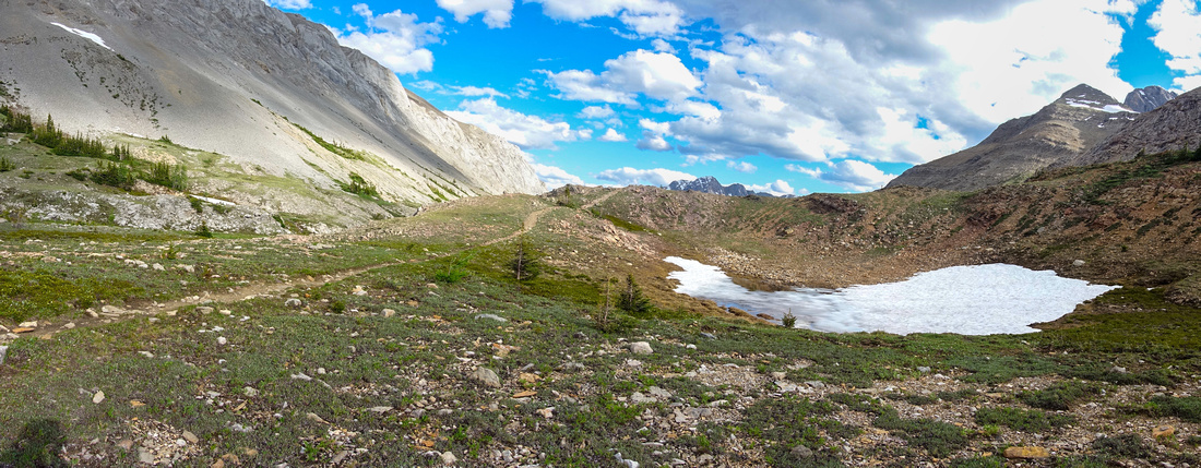 Mystic Panorama Mystic Panorama Mystic Pass Panorama with last snow patch in early July. Highpoint is roughly center
 |
|||
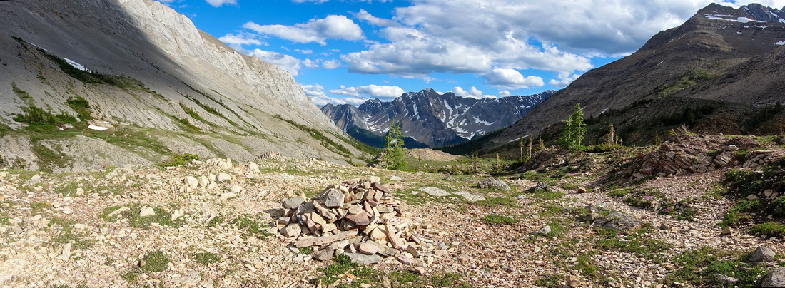 Mystic Highpoint Mystic Highpoint 2285m Mystic Pass Highpoint marked by small cairn. From here trail starts descent to Forty Mile Creek valley
 |
|||
 |
|||
 Mystic Ridge Mystic Ridge Lower Ridge of Mystic Peak, complete with small cairn ~100m above Mystic Pass on west side
 |
|||
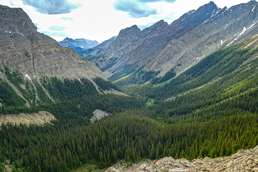 Mystic Creek Valley Mystic Creek Valley Length of Mystic Creek valley traversed from JO9 from Ridge above the Pass
 |
|||
 Mystic Pass Mystic Pass Aerial view of Mystic Pass descending back from the Ridge
 |
|||
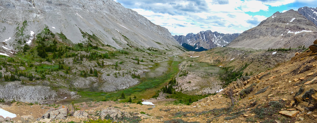 Mystic Panorama Mystic Panorama Mystic Pass Panorama, one of nicest high alpine areas in eastern BNP. Mystic Ridge upper right
 |
Abstract
| Overall Difficulty | D3 | Boulder Field crossing. Some washouts. Steep headwall ascent below the Pass, likely a grunt with overnight pack | |||
| Snow Factor | S3 | Mystic Pass sometimes visited on skis, but too long as snowshoe trip in winter. Possible avalanche risk crossing boulder field at base of Mystic Peak | |||
| Scenery | Mystic Pass and Sawback Range | ||||
| Trail/Marking | Excellent | Official park maintained trail with bridged creek crossings and marked junctions. | |||
| Suggested Time | 3 hrs | 1-way from JO9 with overnight pack. 5-6hrs return from/to JO9 with day pack | |||
| Elevation | Start: 1710m (JO9) Max: ~2285m (Mystic Pass) Total: ~680m | Distance: 6.6m (1-way from JO9) | |||
| Gear | Overnight gear for 1-way JO9 - MI22 crossing. Full hiking boots and poles | ||||
| Water | Mystic Creek throughout. Carry 0.5 - 1L | ||||
| Dog Friendly | No | Leave dogs at home for multi-day backpacks. OK for OnB Day Hike from Moose Meadows (standard back-country precautions) | |||
 Mystic Pass GAIA Map
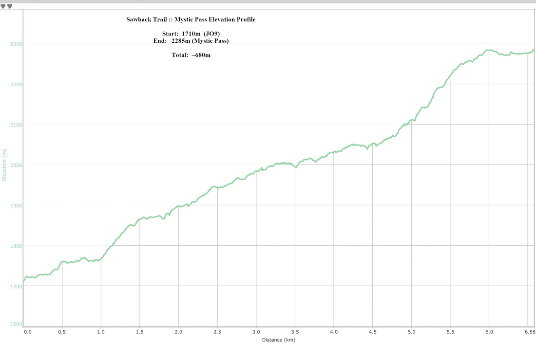 Mystic Pass Elevation Profile