Google Map |
Rockies :: Kananaskis :: Tombstone Lakes |
GPS Track |
|
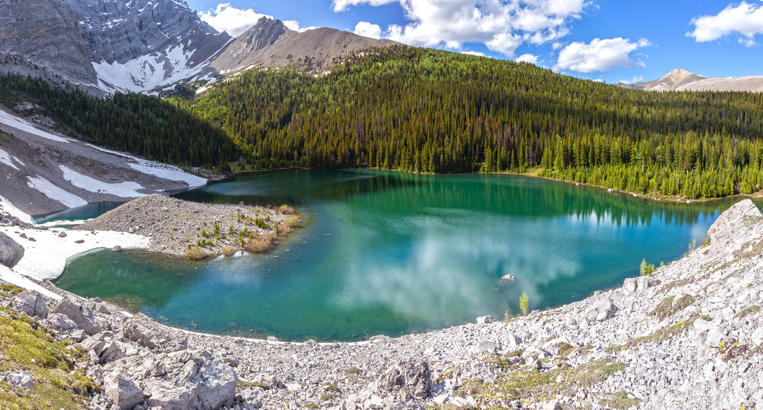
Beautiful upper Tombstone Lake from south side Talus bench |
|||
| Trip Summary | |||
Multiple Dates, last July 4 '23Two beautiful bodies of water below deep below Tombstone Mountain east side. Frequently done in early Autumn due to abundance of golden larches around the upper Lake. Of several day-hike destinations radiating from Elbow Lake this is probably my favourite and I've hiked it both in the Fall and Summer, as presented in the Gallery. Other scenic highlights include vast Alpine environment of Tombstone Pass and Edworthy Falls cascades of very young Elbow River. Only drawback is that most of the way is spent walking Elbow Trail which is really old road, quite rocky at some places. Cycling is allowed and valid option, although one would have to push first 1.2km to Elbow Lake. Alternative is camping at Tombstone backcountry campground, posted 7.2km from trailhead. From there Tombstone Lakes are less than an hour (2.8km) and would be excellent early morning leg stretcher. Hwy40 is seasonally closed Dec 1 - Jun 15; if wanting complete solitude one could also cycle from Kananaskis Lakes Gate (about an hour cycling in, much faster on return) in late Spring after snow has melted, then have this beautiful area completely to themselves. Longer and far less popular approach is cycling Little Elbow trail from the east (Hwy66 gated past Elbow Falls in winter). Be ware of bears. This applies to just about any other Rockies destination, but on my July '24 hike I ran into 3 different grizzlies in less than 15 minutes descending from Elbow Lake on return. Regardless of trail popularity, make lots of noise and carry bear spray. |
|
Gallery |
|||
 Elbow Lake Elbow Lake Elbow Lake 1.2 km and ~20min from the Parking; Backcountry campground is on the right side
 |
|||
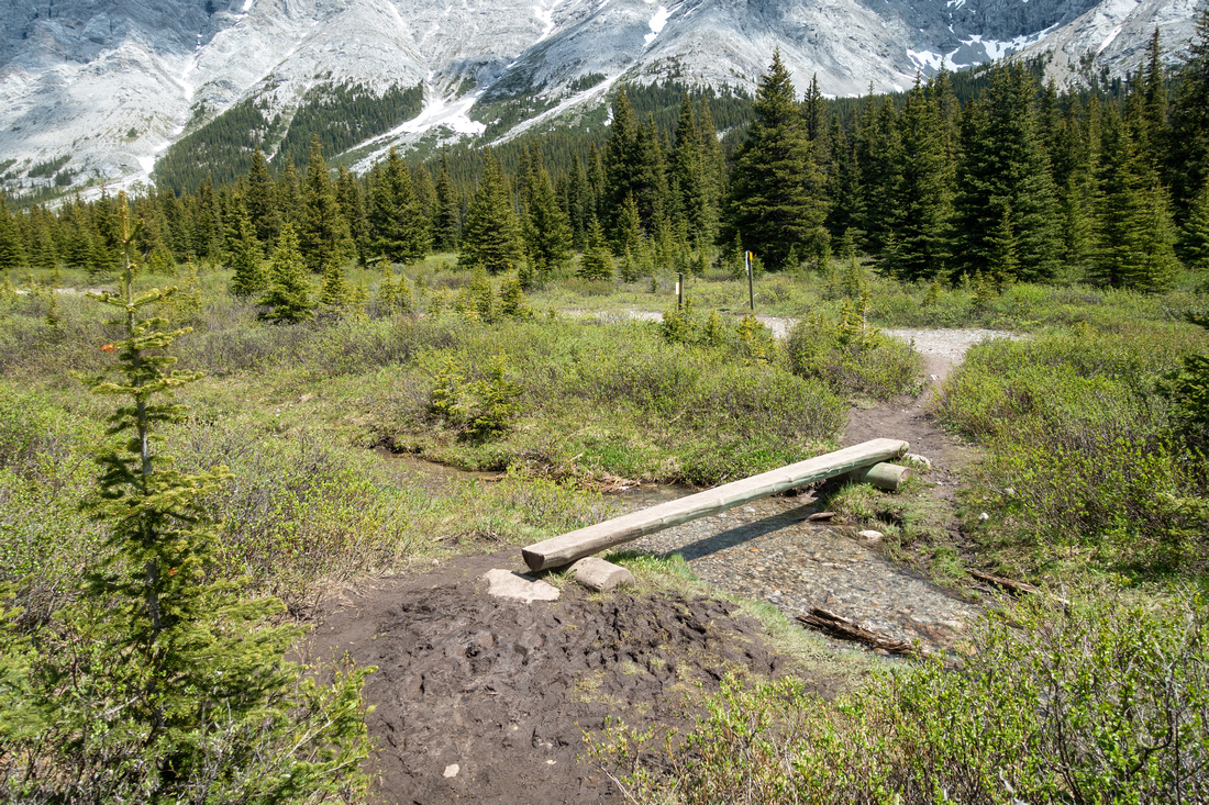 Pedestrian Bridge Pedestrian Bridge Small log across Elbow Lake outlet Just below east end; Horse crossing is to the right
 |
|||
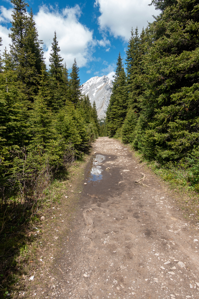 Elbow Trail Elbow Trail Typical section of Elbow Trail between Elbow Lake and Tombstone Pass. In early summer there are usually several waterlogged sections bypassed on the right side. Tombstone Mountain in the distance
 |
|||
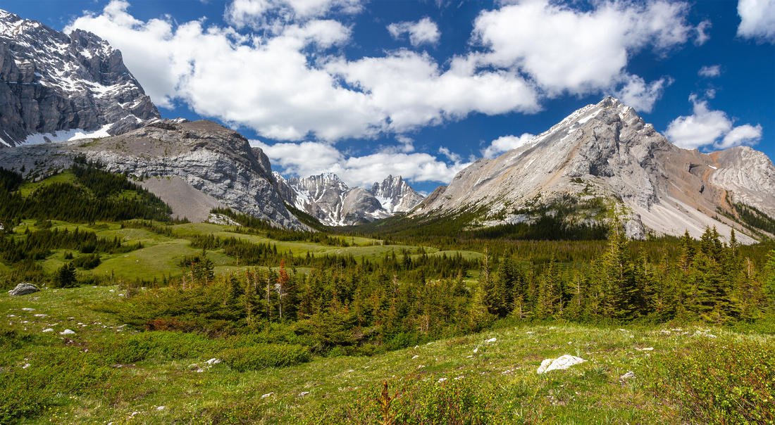 Tombstone Pass Tombstone Pass Tombstone Pass Panorama with South Tombstone Mtn right. Piper Creek valley center, with Cats Ears and Mt. Schlee in the distance.
 |
|||
 Edworthy Falls Edworthy Falls Cascades of very young Elbow River of which the largest is Edworthy Falls. Large cairn on Elbow Trail 10-15min from Tombstone Pass marks approach
 |
|||
 Edworthy Falls Edworthy Falls River level shot of Edworthy Falls. It is not easy to get good shot on a sunny midday as there is simply too much light. For photographers optimal conditions is cloudy late afternoon
 |
|||
 |
|||
 Tombstone Meadows Tombstone Meadows Very beautiful Tombstone Alpine Meadow from Sheep River junction. Backcountry campground is at far end
 |
|||
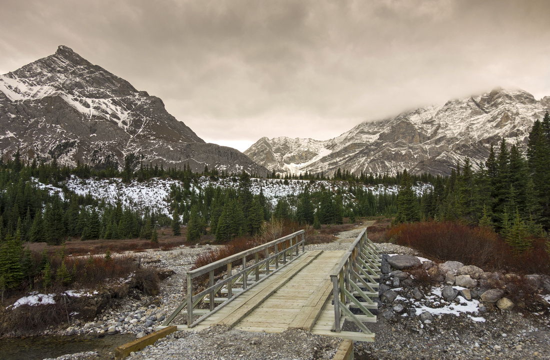 Elbow Bridge Elbow Bridge Sturdy bridge over Elbow River just before Tombstone campground looking back (Oct '17 trip)
 |
|||
 Elbow Junction Elbow Junction Little / Big Elbow Trails junction just above the campground. Tombstone Lakes trail splits off from Little Elbow ~100m up the left side
 |
|||
 Lower Tombstone Lake Lower Tombstone Lake Lower Tombstone Lake after early snowfall (Oct '17 trip). Upper Lake is in the cirque roughly center
 |
|||
 Lower Tombstone Lake Lower Tombstone Lake Lower Tombstone Lake looking back after crossing outlet upper center and hiking on right side
 |
|||
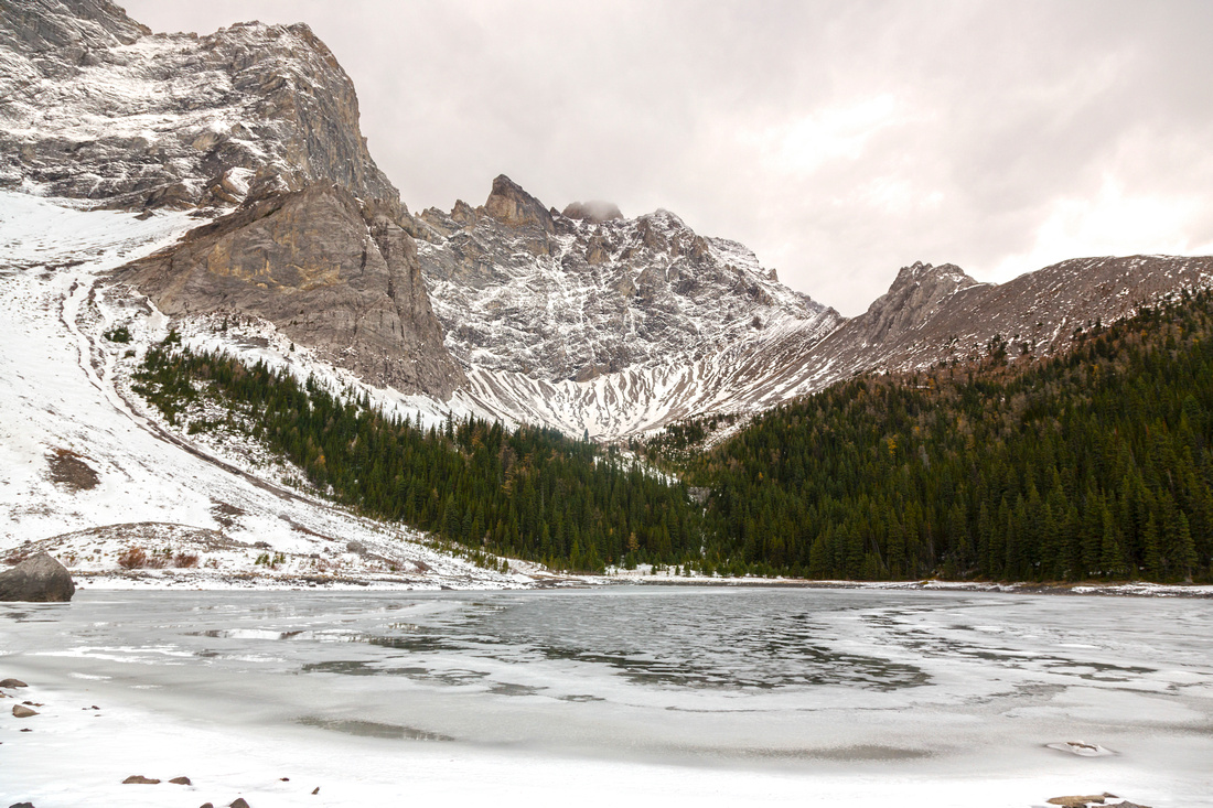 Upper Tombstone Lake Upper Tombstone Lake Almost Frozen upper Tombstone Lake (Oct '17 trip)
 |
|||
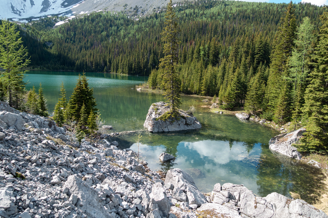 Upper Tombstone Lake Upper Tombstone Lake Starting up Talus slope on south side of upper Tombstone Lake
 |
|||
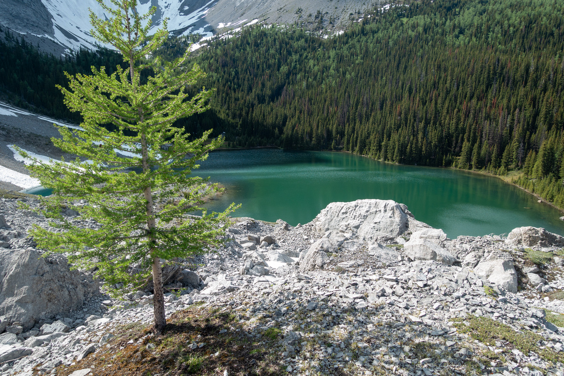 Tombstone Larch Tombstone Larch One of several larch trees above upper Tombstone Lake. In early Autumn this is excellent spot for Golden Larch Colour change, but you must be here before noon for best light as sun sets behind Tombstone Mtn early
 |
|||
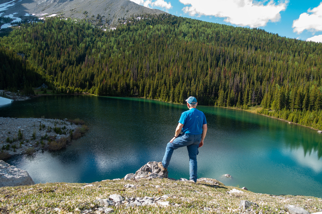 Tombstone Viewpoint Tombstone Viewpoint Enjoying views of upper Tombstone Lake from Grassy bench above south side
 |
|||
 |
Abstract
| Overall Difficulty | D2 | Undemanding, but long-ish walk on old Fireroad (Elbow Trail) with occasional rocky trailbed and couple of moderately steep parts. Rock-hop of lower Tombstone Lake outlet. Optional easy scramble to viewpoint above upper Lake. | |||
| Snow Factor | S1 | No avalanche danger. Seasonal closure (Dec 1 - Jun 15) of Hwy40 gate at Kananaskis Lakes makes winter trips not feasible | |||
| Scenery | Very beautiful upper Tombstone Lake. Elbow Lake, Tombstone Pass/Meadows, Edworthy Falls and Front Range Peaks | ||||
| Trail/Marking | Excellent | Elbow Trail with signposts and marked junctions. Well defined Tombstone Lakes trail above campground | |||
| Suggested Time | 6-7hrs | Out-and-back from Hwy40. Less than 1hr (1-way) if camping at Tombstone campground | |||
| Elevation | Start: 1945m Max: 2210 m Total: +370m -150m (1-way) | Distance: ~20km (return from Hwy40) | |||
| Gear | Day hikers sufficient in dry conditions. | ||||
| Water | Elbow River and Tombstone Lakes outlet. Carry 1L, depending on season | ||||
| Dog Friendly | Yes | Standard back-country travel precautions. Grizzly bears frequent the area | |||
 Tombstone Lakes GAIA Map
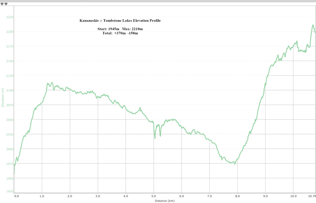 Tombstone Lakes Elevation Profile
