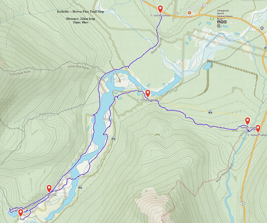
Google Map |
Rockies :: Icefields :: Howse Pass Trail |
GPS Track |
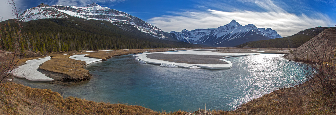 
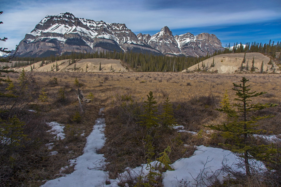
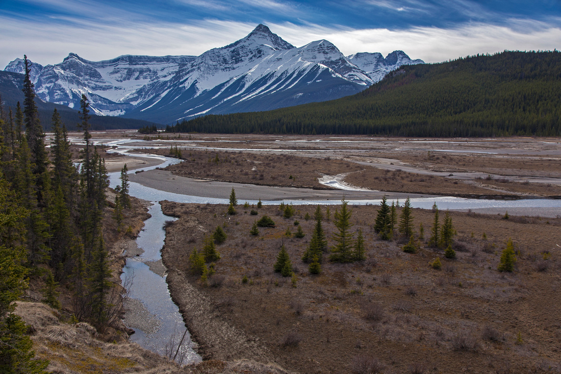
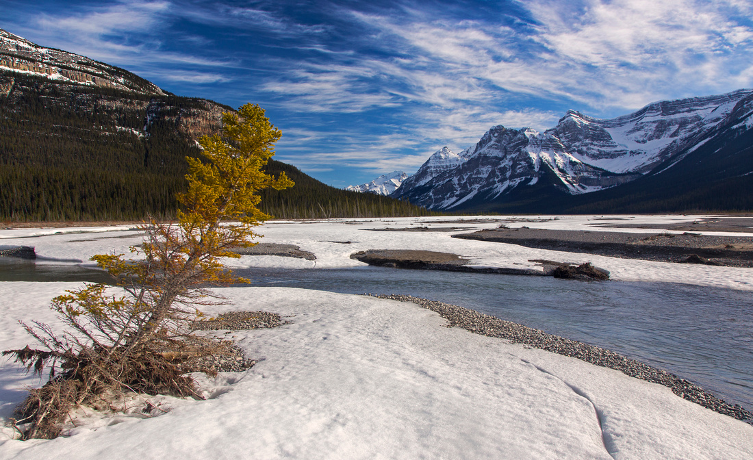
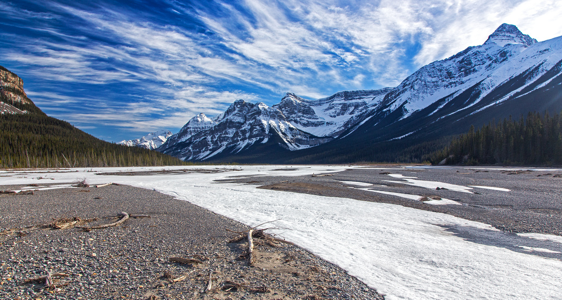
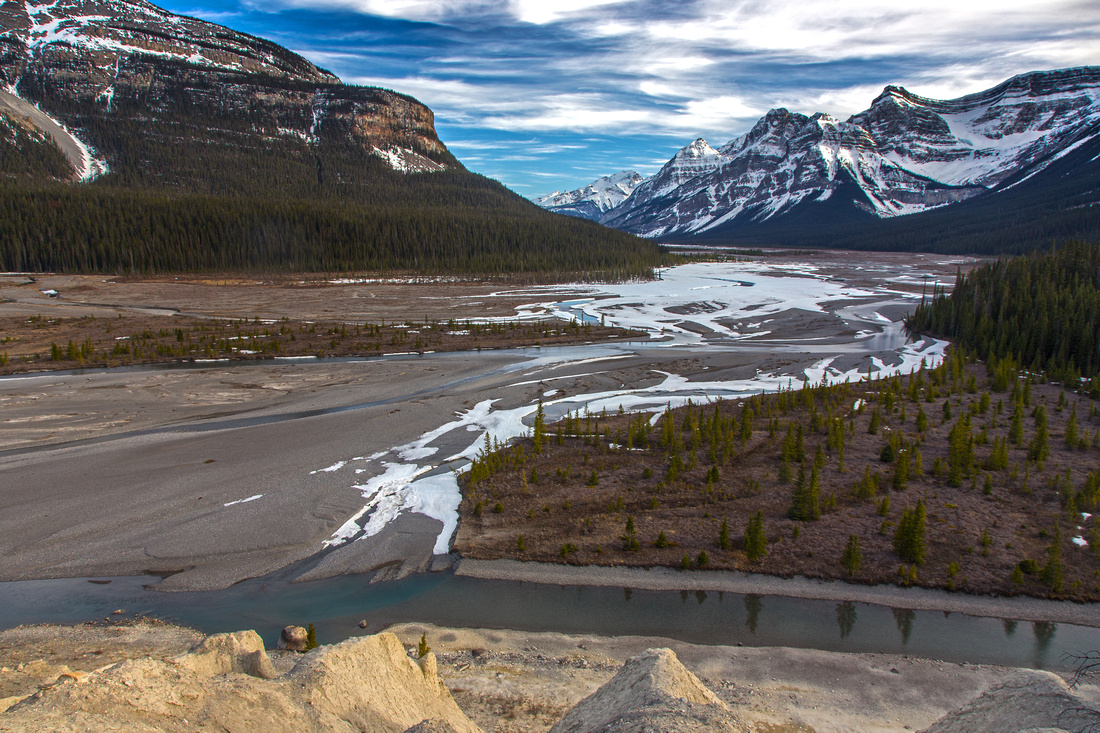
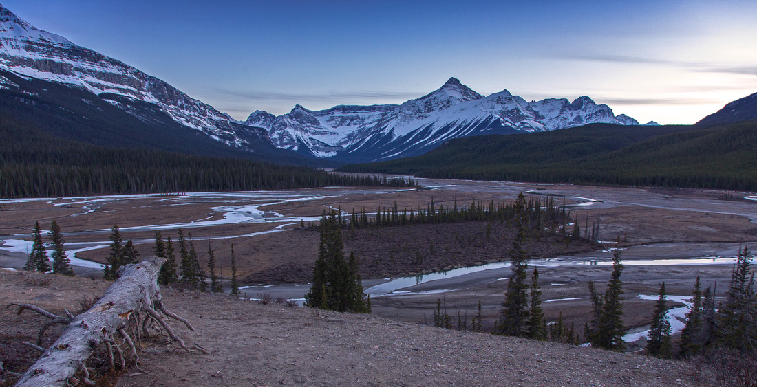
Hiking initial portion of Howse River flats. Mt. Sarbach upper left, Mt. Outram center right. Glacier Lake is behind grassy rib distance right |
|||
| Trip Summary | |||
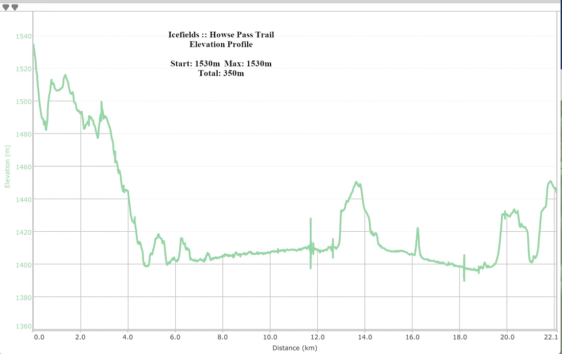
April 7, 2016Howse Pass trail is historic route in Canadian Rockies. Following the wide alluvial fan of Howse River, it was used by fur traders to establish posts on west side of Canadian Rockies. Later Parks Canada established hiking trail and built ranger cabin just east of the pass. As such this area is very appealing to modern day explorers. Sadly in the age of cutbacks trail has been decommissioned and area is reverting back to wilderness. In early season -- usually April/May timeframe -- when water level is low, it is possible to hike braided flats of Howse river and avoid horrible bushwhack along the official trail on south side. Using this strategy it would be possible to backpack to vicinity of Ranger cabin, then day trek to the pass and explore on the other side towards Blaeberry River. For day-hikers attractive option is hiking the first part to Glacier lake outlet junction, following by loop return on the north side and finish on official Glacier lake trail. Only problem -- transport back from Glacier trailhead back to Mistaya where the hike started. In this case bicycle would be helpful, but if all else fails it takes about 45-50 minutes of fast walk on the highway (~6km). Park at Mistaya canyon tourist trailhead ~5km south of Saskatchewan River Crossing on the Icefields Parkway. Trail descends to the canyon and crosses the chasm on good bridge. On the other side trail rises and soon emerges to the junction: Sarbach lookout left, Howse Pass right. Parks Canada sign warns that Howse trail is not maintained, and they are not joking. Even the initial part to Howse river has plenty of deadfall - but it is still fairly well defined and easy to follow. At 4.8km mark there is signed junction with horse trail from the Crossing. In 2016 this sign had note "trail interrupted" next to the Crossing direction, so it might not be feasible -- I have not investigated further. Past the junction trail exits the forest and enters "Montane area" -- delightful hiking for couple of kilometers in open benches dotted with meadows and lakes. Trail is well defined in this section. Eventually it reaches south side of Howse River around 7km mark and dips back in the forest. This is the start of "decommissioned section" that should be avoided at all costs. Leave trail and hike across the flats hopping across snow bridges and small channels, aiming in general direction of imposing Mt. Outram. Glacier Lake trail is on the other side. Crossing the flats is generally easy, but there is deep channel hugging the north side; it is deep and moving quite fast even early in the season. You might be able to spot parks sign on the other side -- it reads "2.4 km to Glacier Lake". This is the start of old horse trail to Glacier lake, and site of supposed place to cross - but the river has shifted since. So follow the flats towards the wide canyon draining Glacier lake; usually this is the best place to cross to the other side. Couple of fords are usually necessary; with little luck they will be shallow, but still icy cold. Once on the other side simply trash up the hill and intercept old Glacier lake horse trail. From here there are couple of options. One is to continue to Glacier lake -- about half an hour, as there is plenty of deadfall and snow lingers in shady areas quite late. From Glacier lake you can then return via the official trail that is cleared, but boring, muddy and has some unnecessary gain elevation/loss as it travels across forested hill below Survey Peak. Better option is to return along the flats on north side. Once past "2.4km to Glacier Lake" sign trail disintegrates, but easy trash for few minutes brings you down to river level. From there it is an easy travel in the open for about an hour to the point where you can pick up official trail around 3km mark and hike out. Added bonus: Fabulous viewpoint from 2 red Airdondack chairs at viewing platform at top of small hill -- one of finest Rockies viewpoints. From here follow the trail to Glacier trailhead, then drive/cycle/walk back to Mistaya. |
|
Gallery |
|||
 Howse Pass Parks sign at Mistaya Trailhead
 |
|||
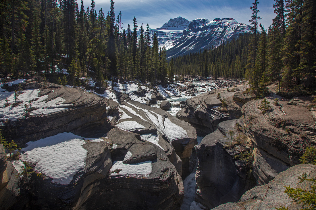 Crossing Mistaya canyon near the trailhead. Mt. Sarbach in the distance
 |
|||
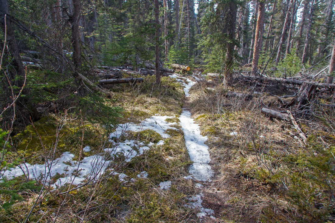 Initial part of Howse Pass Trail descending to River flats
 |
|||
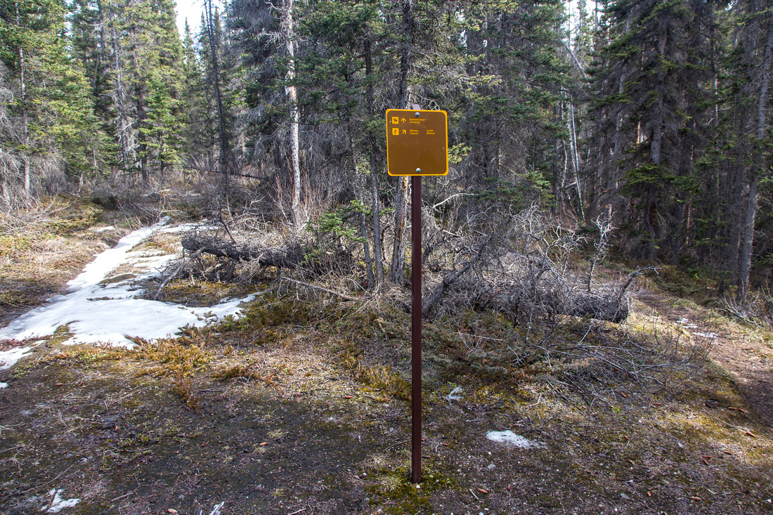 4.8 km horse trail junction coming from the Crossing
 |
|||
 Exiting to Montane area with views of Mt. Wilson
 |
|||
 Great hiking in Montane area. Mt Wilson (L), Sarbach (R)
 |
|||
 Lovely tarn with backdrop of Mt. Wilson
 |
|||
 Howse River at point where trail dips back to the forest
 |
|||
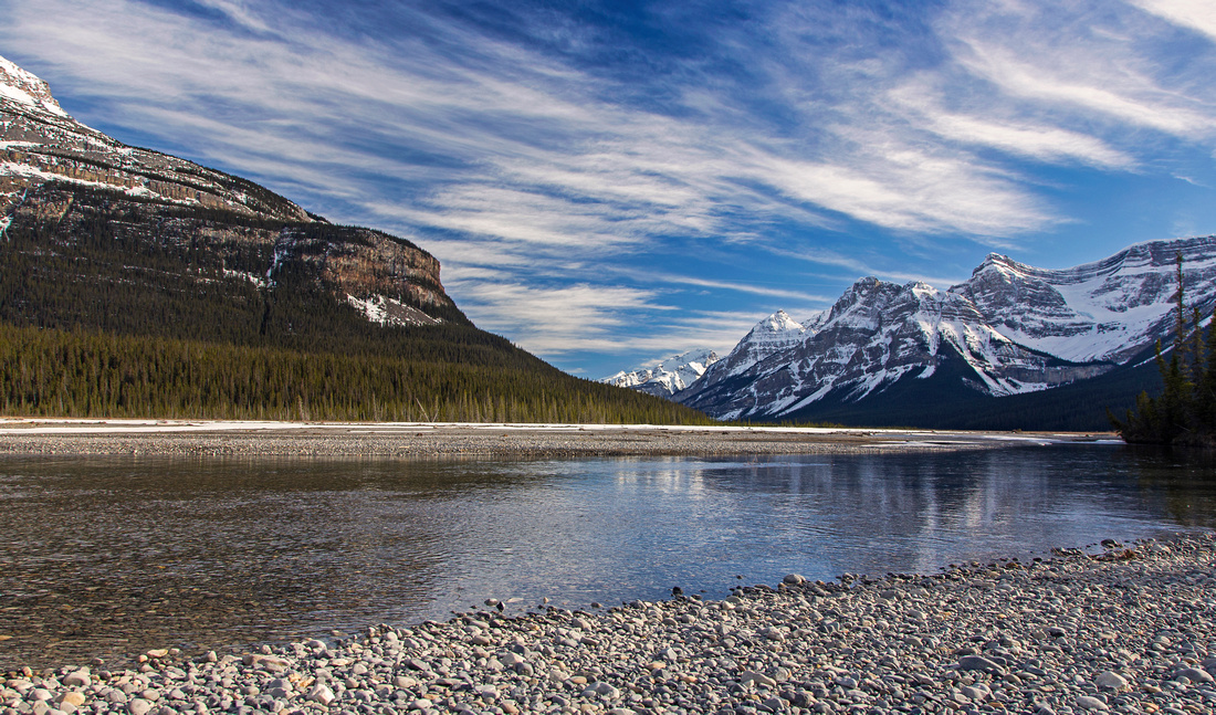
 Looking across Howse River towards Survey Peak
 |
|||
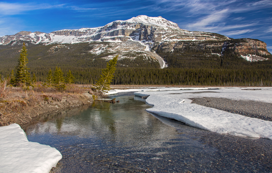
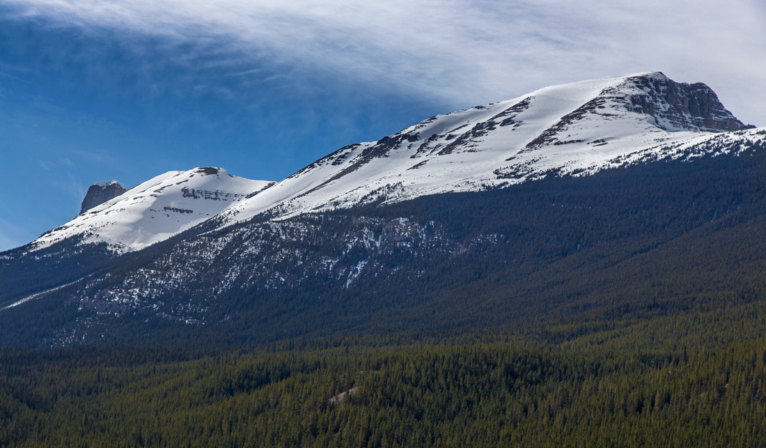 Closer look at Survey Peak
 |
|||
 View back to Crossing area. Mt. Wilson center left
 |
|||
 Deep pools of Howse River looking across to north side
 |
|||
 Hiking along a wide channel while looking for a place to cross to the north side
 |
|||
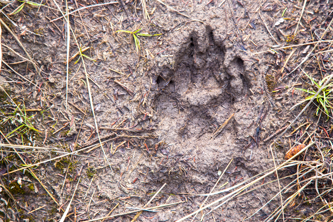 Fresh wolf print in the mud. Pack of grey wolves makes Howse River Flats permanent home
 |
|||
 Turnaround point just past Glacier lake outlet junction
 |
|||
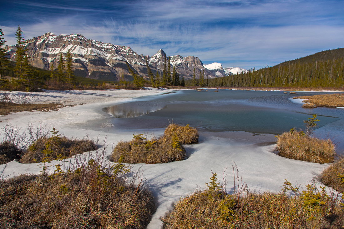
 View west to Howse Pass area at turnaround point
 |
|||
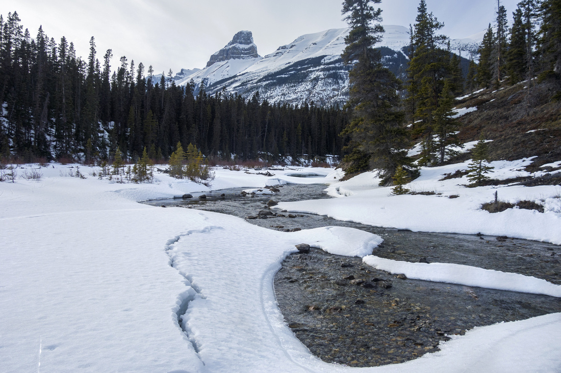
 Just after the first ford. Shallow, but wide and very cold
 |
|||
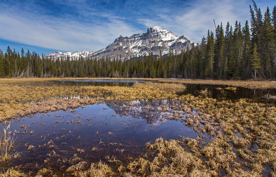
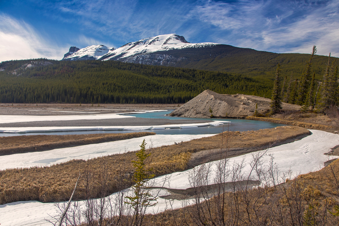
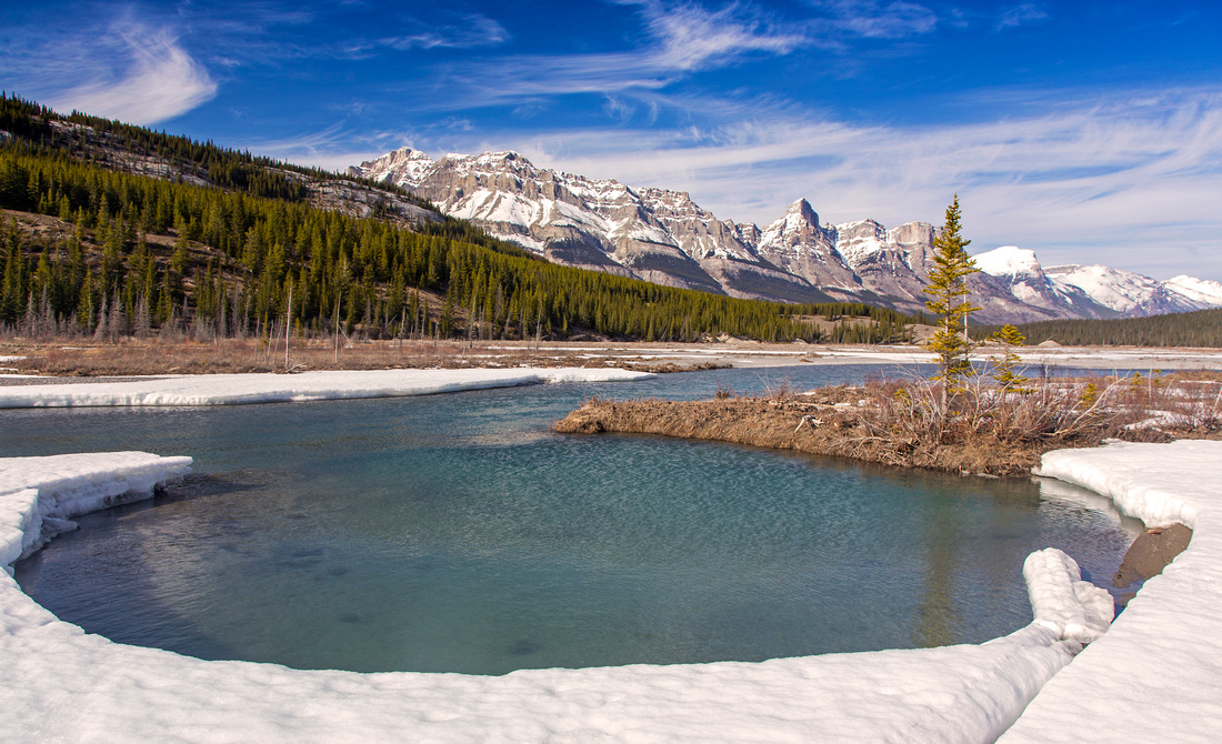
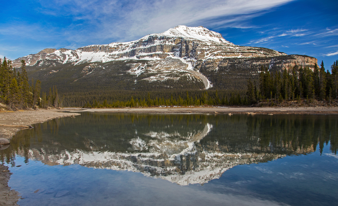 Pond near Glacier lake outflow looking at Mt. Sarbach
 |
|||
 Second and final ford. Still had to take boots off
 |
|||
 Views west from old Glacier horse trail above ford area
 |
|||
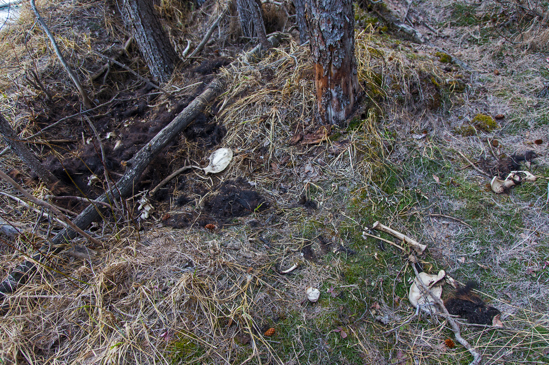 Grizzly scene on return. Opinions are divided to what caused it, including theory about grizzly bear(s) killing and devouring black bear
 |
|||
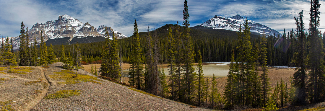
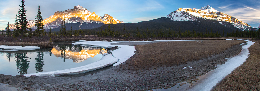 Great panoramic views of Howse flats on return along the north side
 |
|||
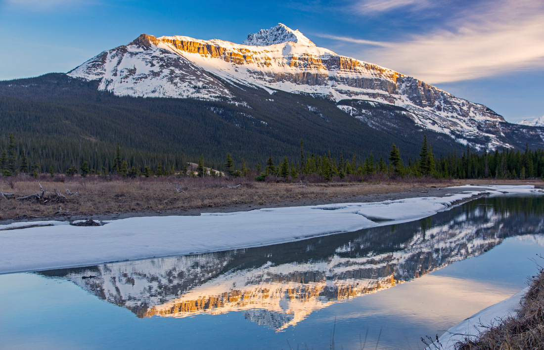 Mt. Sarbach reflected in Howse River
 |
|||
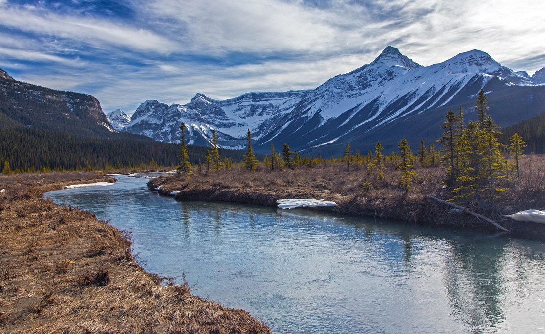
 Howse River from viewpoint on Glacier lake trail
 |
|||
Abstract
| Overall Difficulty | D4 | Plenty of deadfall in initial part of the trail. Several fords of braided Howse river channels. Routefinding. Logistic problems with transport back to Mistaya trailhead if doing the loop by returning via Glacier lake trail | |||
| Snow Factor | S2 | Low accumulation and frequently in shape early in the season. Possibility of post-holing in Mistaya portion of the trail | |||
| Scenery | Spectacular Howse River vistas -- one of most awe inspiring in Banff National Park. Several well known peaks including Mt. Sarbach, Outram, Wilson and Survey peak. | ||||
| Trail/Marking | Poor / None | Official Howse Pass park trail falling into disrepair. Route-finding across the flats. Old horse trail to Glacier lake is poorly defined with plenty of deadfall. | |||
| Suggested Time | 7-8 hr | Full loop (Mistaya start, Glacier lake trailhead end) | |||
| Elevation | Start: 1530 Max: 1530m Total: ~350m | Round Trip: 22 km (Mistaya - Glacier trailhead loop) | |||
| Gear | Full hiking boots. Gaiters are essential. Pair of old sandals for river fords. Snowshoes or skis not required for early season trip | ||||
| Water | Howse River. It is moving fast enough, but still should be filtered. Carry 1-2L | ||||
| Dog Friendly | Yes | Standard back-country precautions. Caution: Pack of grey wolves make area home | |||
 Howse Pass Trail GAIA Map
 Howse Pass Trail Elevation Profile
|
Glacier Lake Outflow |
|||
| In winter or early spring it is also possible to approach Glacier Lake directly via the outflow canyon; this avoids trash and postholing along the old horse trail. Going can be challenging if river is moving freely; then you have to hop over snow bridges from 1 side to another frequently, and it could be dangerous. It takes about half an hour from the Howse confluence to Glacier Lake this way. | |||
 Entering Glacier Outflow Canyon past confluence with Howse River
 |
|||
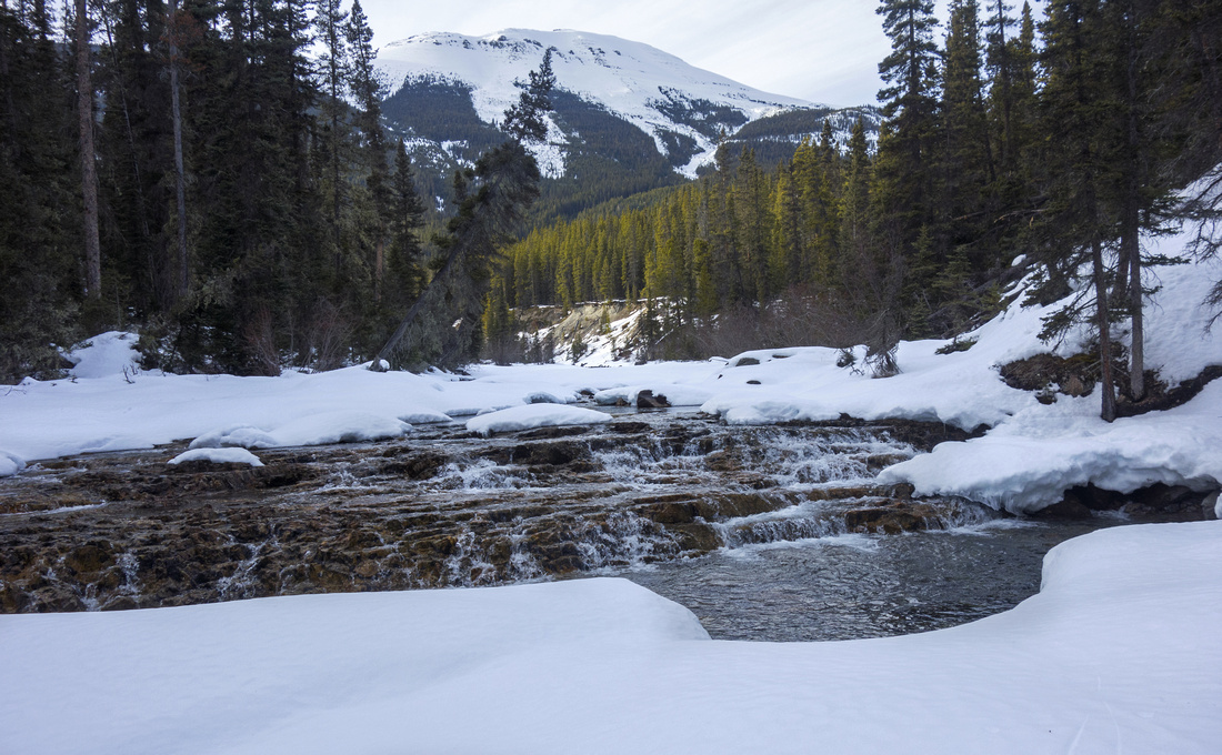 Freely moving water, collapsing snow bridges and small cascades present challenges
 |
|||
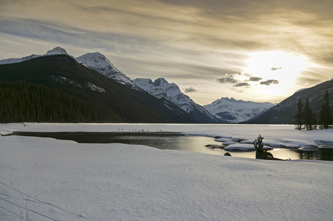 Soft fused light at Glacier Lake as sun is setting down
 |
|||
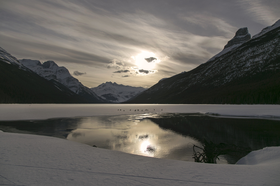 Magical late afternoon at still frozen Glacier Lake
 |