Google Map |
Rockies :: Banff-Louise :: Elk Lake |
GPS Track |
|
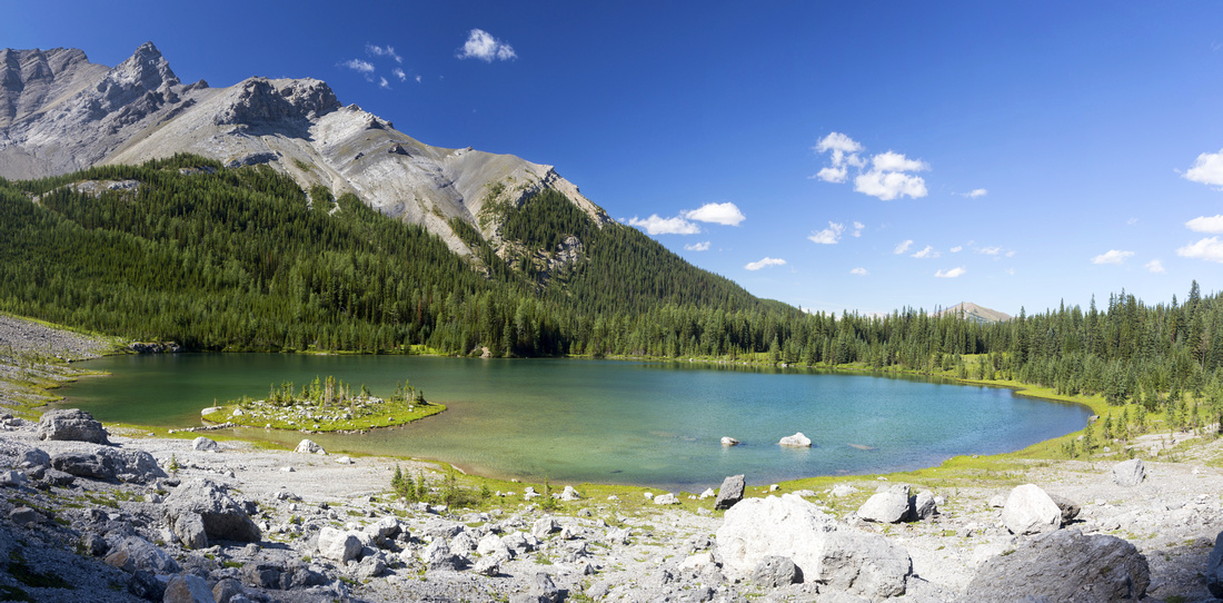
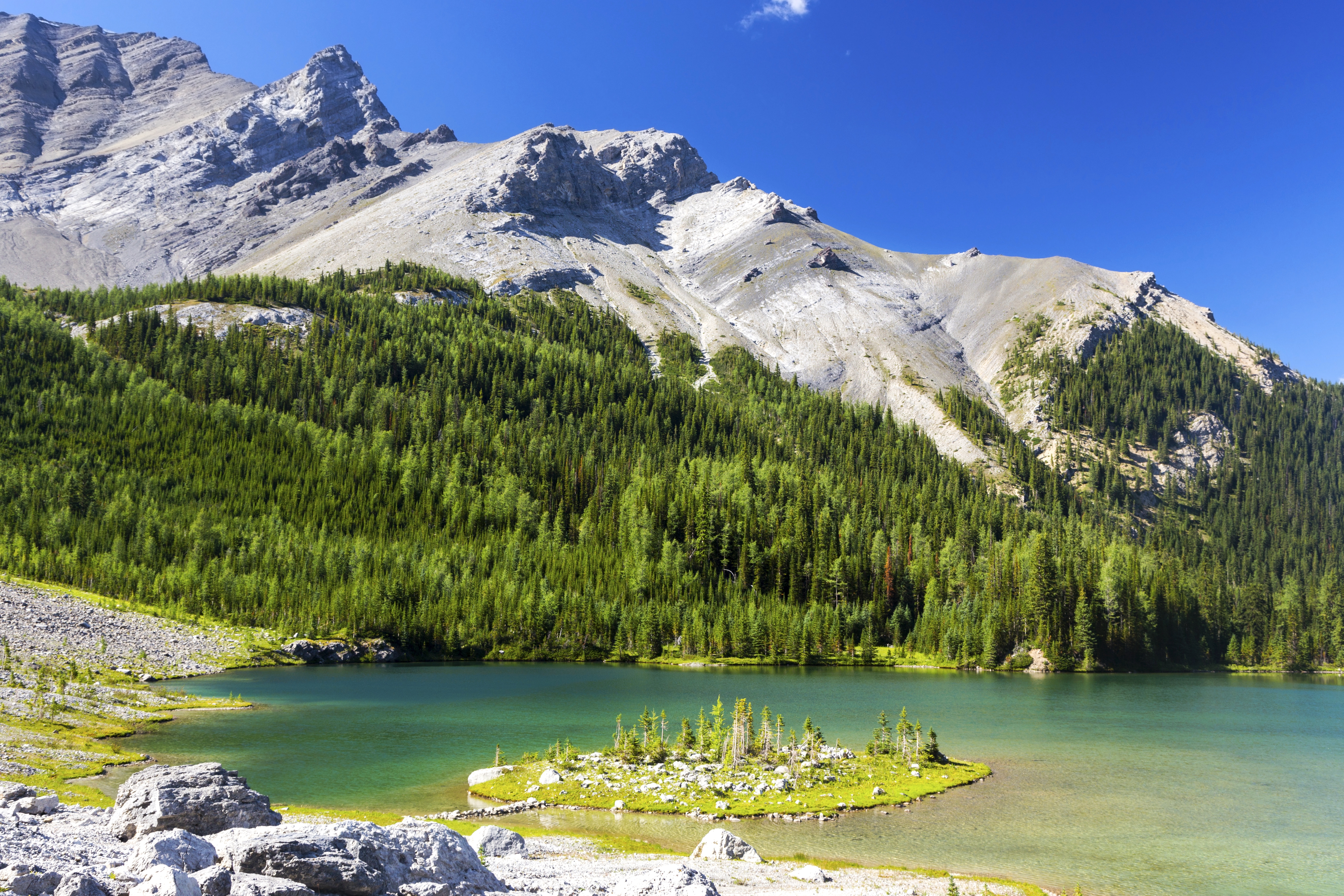
Panoramic view of Elk Lake from Talus slope on south side; Sira 5 upper left |
|||
| Trip Summary | |||
May 22, 2018, August 12, 2021
Elk Lake is one of most beautiful back-country lakes in Front Ranges of Banff National Park I've ever seen. Trail is mentioned in Patton/Robinson Canadian Rockies Trail Guide but it has largely stayed off radar, main reason being long and uninspiring approach that is bit too long as day hike for average person, but despite official Parks Canada Ek-13 campground at Elk Summit not quite appealing as overnight trip either. However in second half of summer when snow has disappeared and meadows are lush green, scenery in alpine bowl beneath sheer cliffs of Sira massif is spectacular and well worth the effort. Be ware that shady west side harbors snow well into June; on my first trip in 2018 late May was still too early and I had to abandon after wallowing in deep snow above Elk Summit. In dry conditions it is just a long but easy trail hike, as experienced on return in summer of '21. From photography perspective note that bowl will fall into shade by mid-afternoon, so plan your timing accordingly. Optimal light is mid-morning, but for that you likely have to backpack. If you decide to do it as day-hike as I did, do note overall distance and more than expected cumulative elevation gain & make sure it is in according to your abilities.
Parking is at Mount Norquay ski lodge lot, same as for Snow Peak (formerly Stony Mountain). Make your way past ski runs, warden avalanche control cabin to marked trailhead ~1km from the lodge. 40mile back-country trail to Mystic Lake and Flint's Park splits left, while Cascade / Elk Summit trail descends to the right, losing over 100m elevation to crossing of 40-mile creek. Reascending this part on return at end of long day will be a pain. Trail then ascends for ~1.5km to marked junction - better defined right branch climbs up to Cascade Amphitheater, while Elk summit trail continues left. Going is fairly monotonous for 1.5 hrs, forested trail with occasional glimpse to Mt. Brewster massif to the left. At ~km 7 major drainage is bridged with solid 2-log bridge and this is reliable source of water even in late summer when other smaller gullies have already dried. Scrambler route to Cascade North (not Kane scramble, stiff class 4 near the summit) branches right and up about there. Elk trail continues and finally around km 10 exits to delightful subalpine meadows; trip finally starts showing some merit. Upon reaching Ek-13 campground you can go either through the campground, or better continue for another ~100m on main trail to marked junction, then turn left onto Elk Lake trail. On my 2018 trip this part was under deep snow cover and not being able to find trail I trashed up helped with GPS to high ridge and was able to get a glimpse of the lake deep below (see gallery). In contrast wide trail gently climbs ~150m vertical to the shoulder, then descends to the lake losing ~100m from the shoulder. Trail ends in alpine meadow at east side of the lake by Parks Canada sign informing about camping/fishing/swimming rules. I recommed hiking around the lake clockwise to large talus slope above lake south side as this is the most photogenic part.
Continuing in other direction Elk Summit trail reaches Cascade Fire Road in about 9km. From there hike out to Lake Minnewanka is possible, forming loop of a sort, but this can not be recommended; besides transport logistics, Cascade FR is logical only as bike ride. Return the same way. |
|
Gallery |
|||
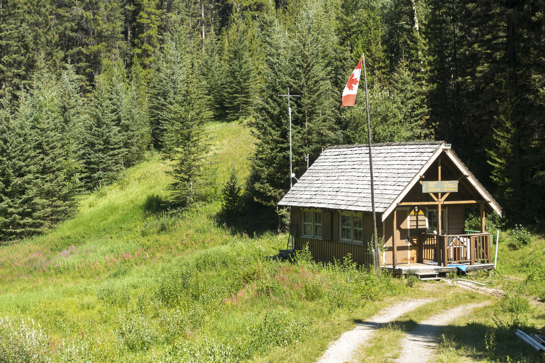 Avalanche Control Cabin Avalanche Control Cabin Parks Canada Avalanche Control Cabin below Mount Norquay Ski Area; Official Signed Trailhead is out of picture to the left
 |
|||
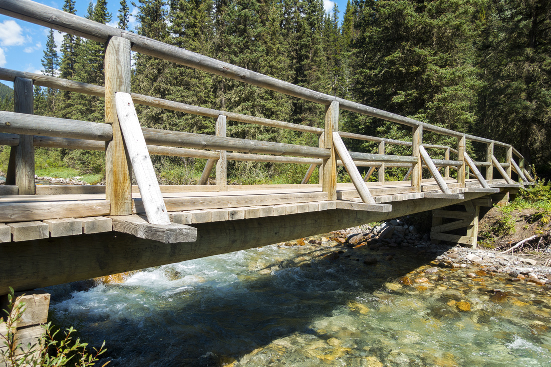 Forty Mile Creek Forty Mile Creek Trail crossing Forty Mile Creek on solid wooden bridge after losing more than 100m vertical from trailhead
 |
|||
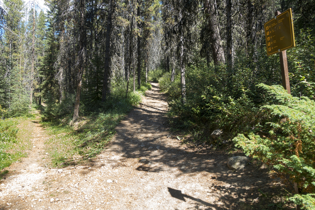 Cascade Junction Cascade Junction Marked Cascade Amphitheater junction ~1.5km above Forty Mile Creek. Lesser defined Elk Summit trail branches left
 |
|||
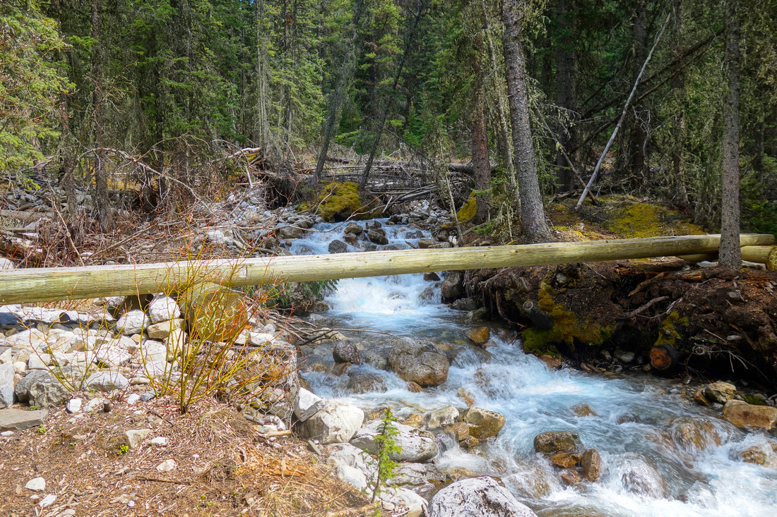 Cascade North Drainage Cascade North Drainage Solid 2 log bridge over creek draining Cascade North ~7km into the hike. This rushing stream is reliable water source even late in season
 |
|||
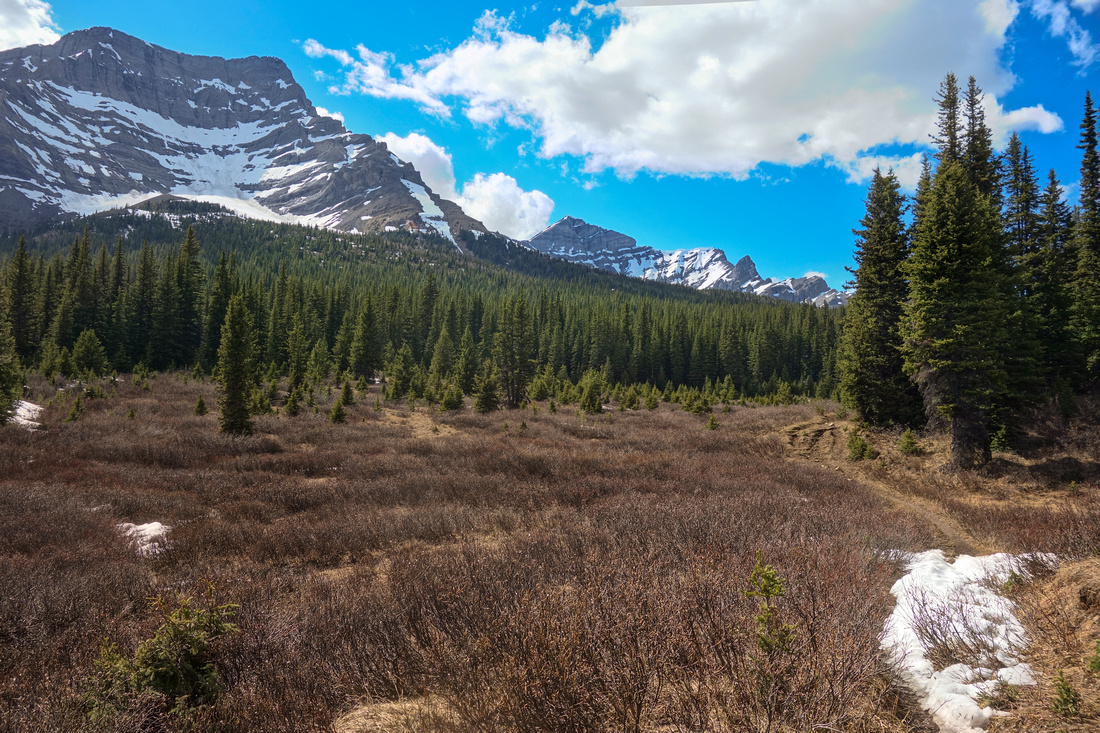 Alpine Meadowland Alpine Meadowland Exiting to Beautiful subalpine Meadow ~10km into the hike; Mt. Brewster upper left, Elk Lake is in the bowl below Sira 5 distance center (2018 Trip)
 |
|||
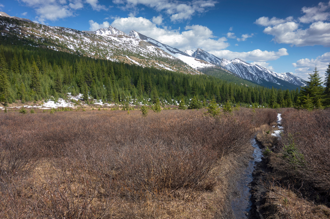 Cascade Range Cascade Range View back to Cascade Mountain Range near Elk Summit (2018 Trip)
 |
|||
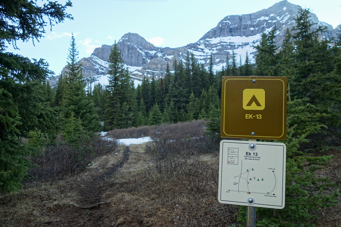 Elk Summit Campground Elk Summit Campground Elk Summit EK-13 Backcountry Campground Sign; Elk Lake trail climbs over the forested shoulder ~2.4km from the Junction
 |
|||
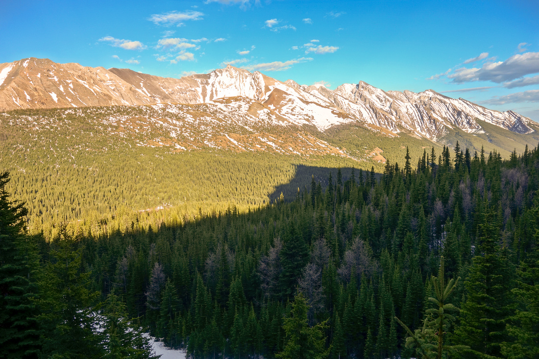 Cascade Range Cascade Range Nice view to Cascade range on sunny side of the valley while attempting off-trail route to Elk Lake due to high snow (2018 Trip)
 |
|||
 |
|||
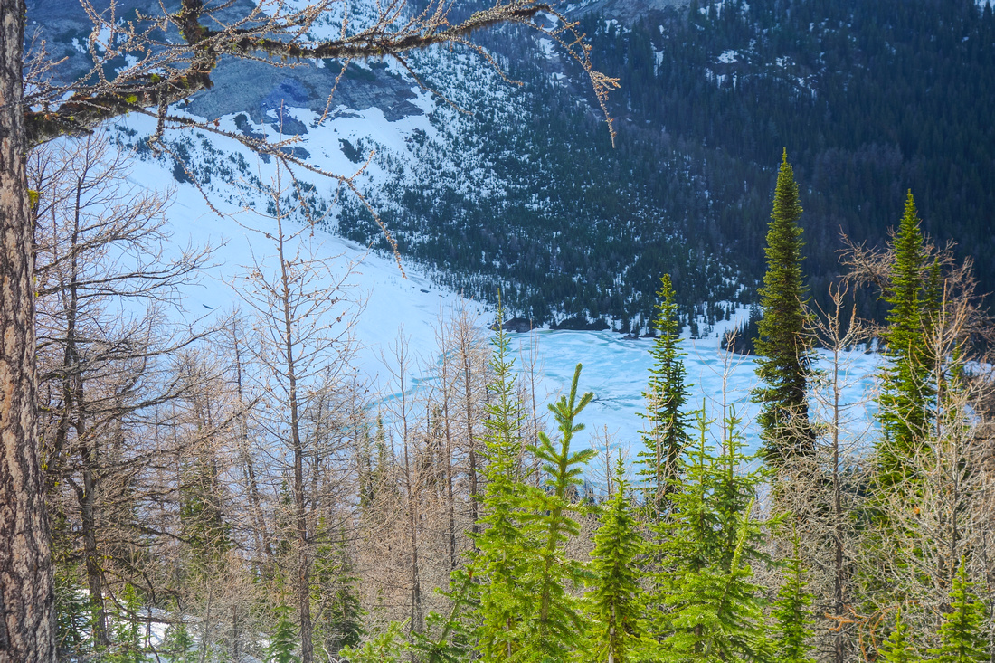 Elk Lake Elk Lake  Aerial View of mostly frozen Elk Lake from Larch Shoulder; normal trail stays well below (2018 Trip)
 |
|||
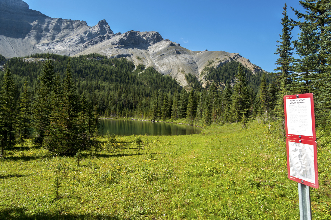 Elk Shoreline Elk Shoreline End of Elk Lake trail in delightful alpine meadow by Parks Canada Sign Table
 |
|||
 |
|||
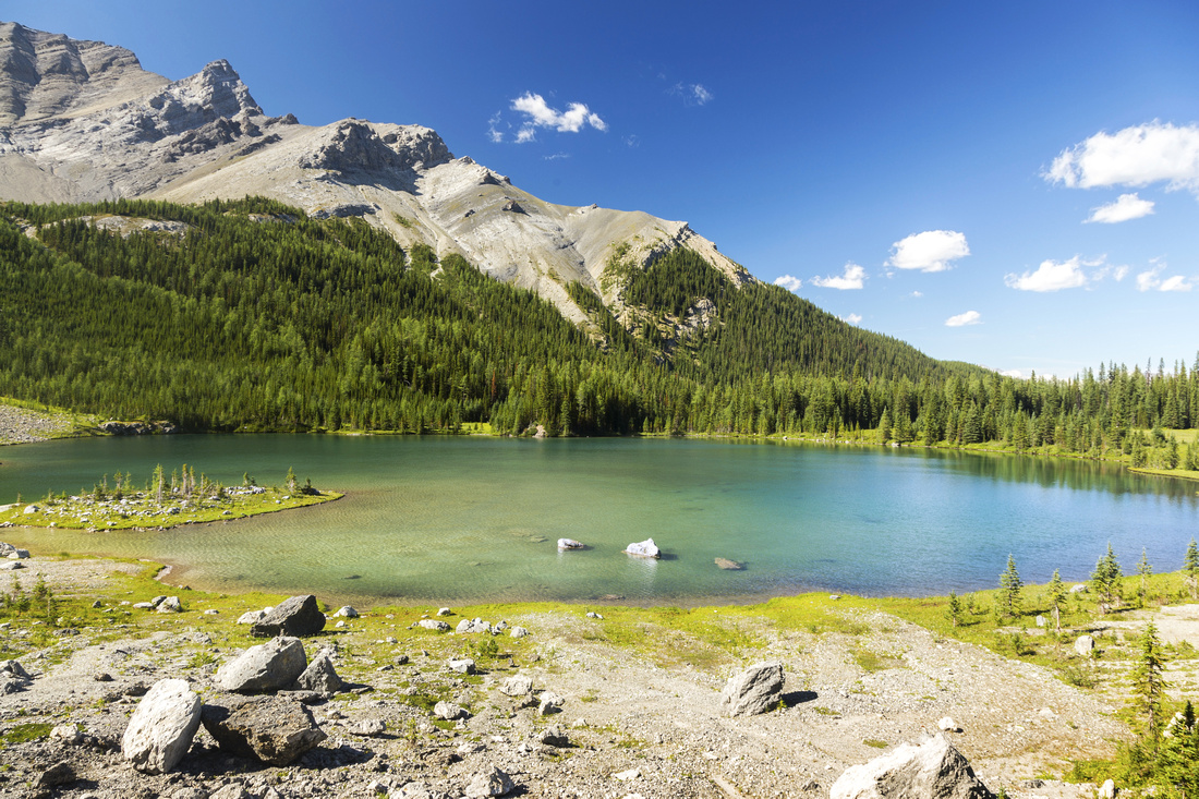 Elk Lake Elk Lake Classic view of beautiful Elk Lake from talus slope on photogenic south side
 |
|||
 |
|||
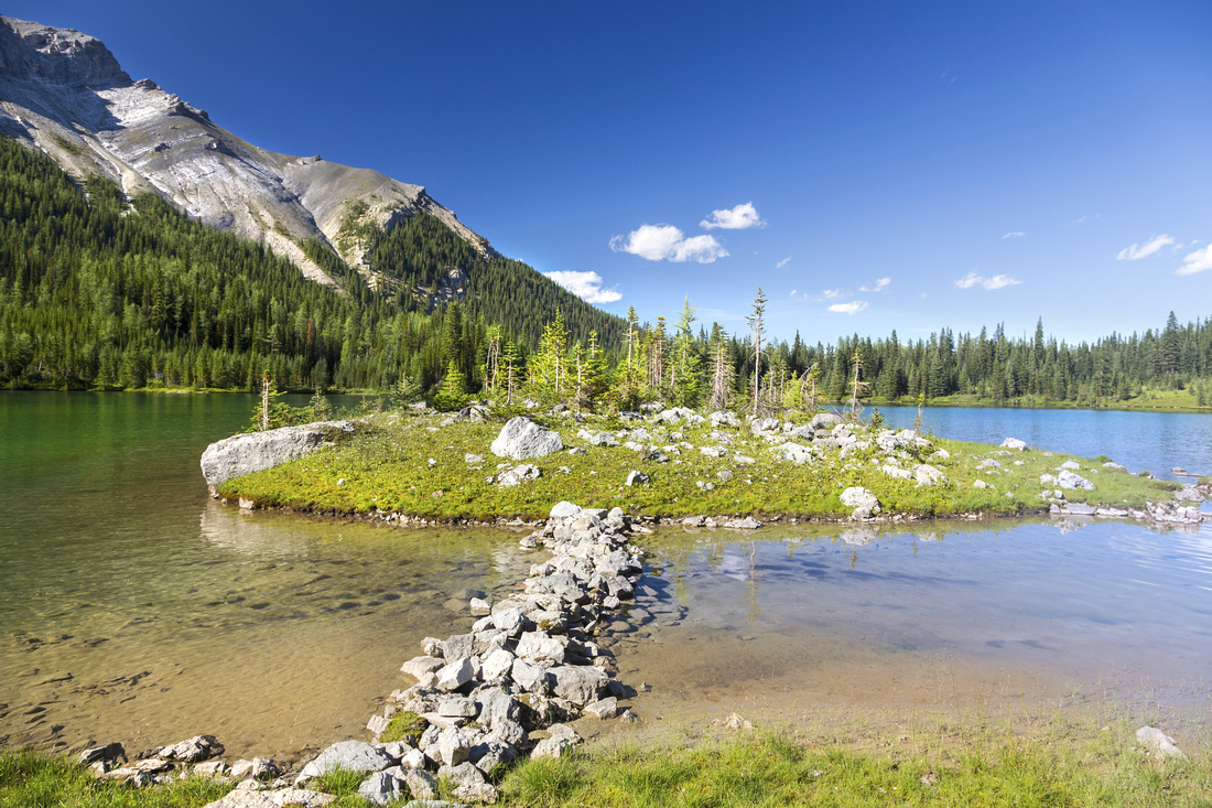 Grassy Peninsula Grassy Peninsula Improvised Rock Bridge to Grassy Island on south side of Elk Lake
 |
|||
 Elk Panorama Elk Panorama Elk Lake Panoramic view while circumventing the shoreline. End of Trail with parks table is on center right.
 |
|||
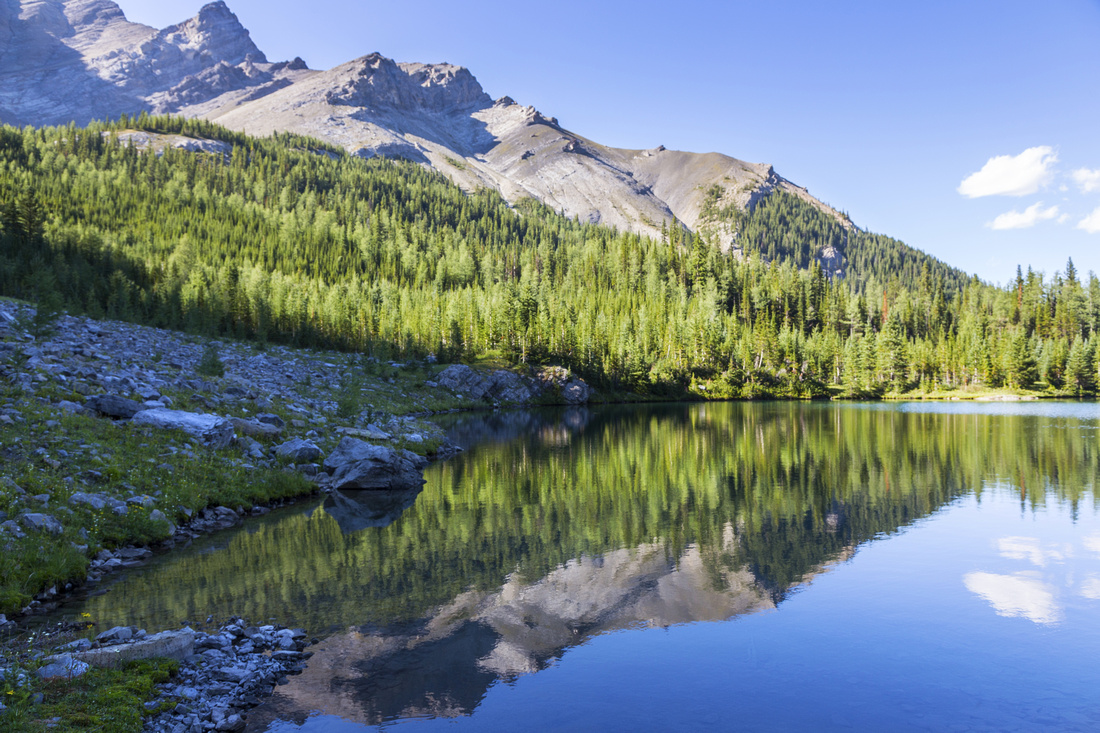 Sira 5 Reflections Sira 5 Reflections Sira 5 Reflections in calm water. Minor bushwhack is required on west side of the lake
 |
Abstract
|
Overall Difficulty |
Easy Trail Hiking, but overall distance is significant with over 1000m cumulative elevation gain |
||||
|
Snow Factor |
No avalanche danger, but even if sometimes done as Cross-Country ski trip, due to overall length not feasible in winter. Slopes above Elk Summit on shady west side snowbound till July mean lots of postholing if attempted too early in season |
||||
|
Scenery |
One of most beautiful back-country lakes in front ranges of Banff National Park. Expansive sub-alpine meadows at Elk Summit with great views of Cascade Range on east side. Mt. Brewster and Sira to the west |
||||
|
Trail/Marking |
Excellent |
Well defined and maintained official BNP Trail with signed junctions |
|||
|
Suggested Time |
9 hrs |
Return time in summer (dry) conditions or overnight backpack |
|||
|
Elevation |
Start: 1785m Max: 2215m Total: ~1020m (+685, -335) |
Round Trip: 27km | |||
|
Gear |
Light day-hikers preferred in summer for faster travel. Gaiters essential early in season (mud, snow at Elk Summit). Overnight gear if planning to spend night at Ek-13 |
||||
|
Water |
Forty Mile Creek and Creek draining west slopes of Cascade North ~7km mark. Carry max 1L |
||||
|
Dog Friendly |
Yes |
Standard Back-country precautions |
|||
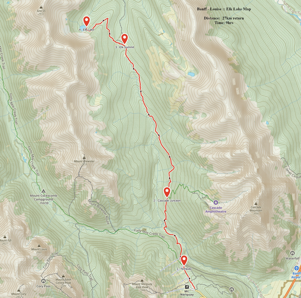 Elk Lake GAIA Map
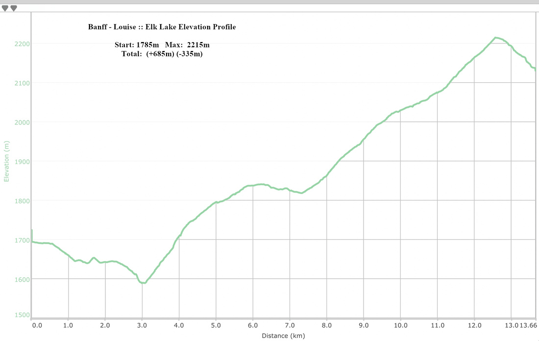 Elk Lake Elevation Profile
