Google Map |
USA :: Sedona :: Baldwin Trail |
GPS Track |
|
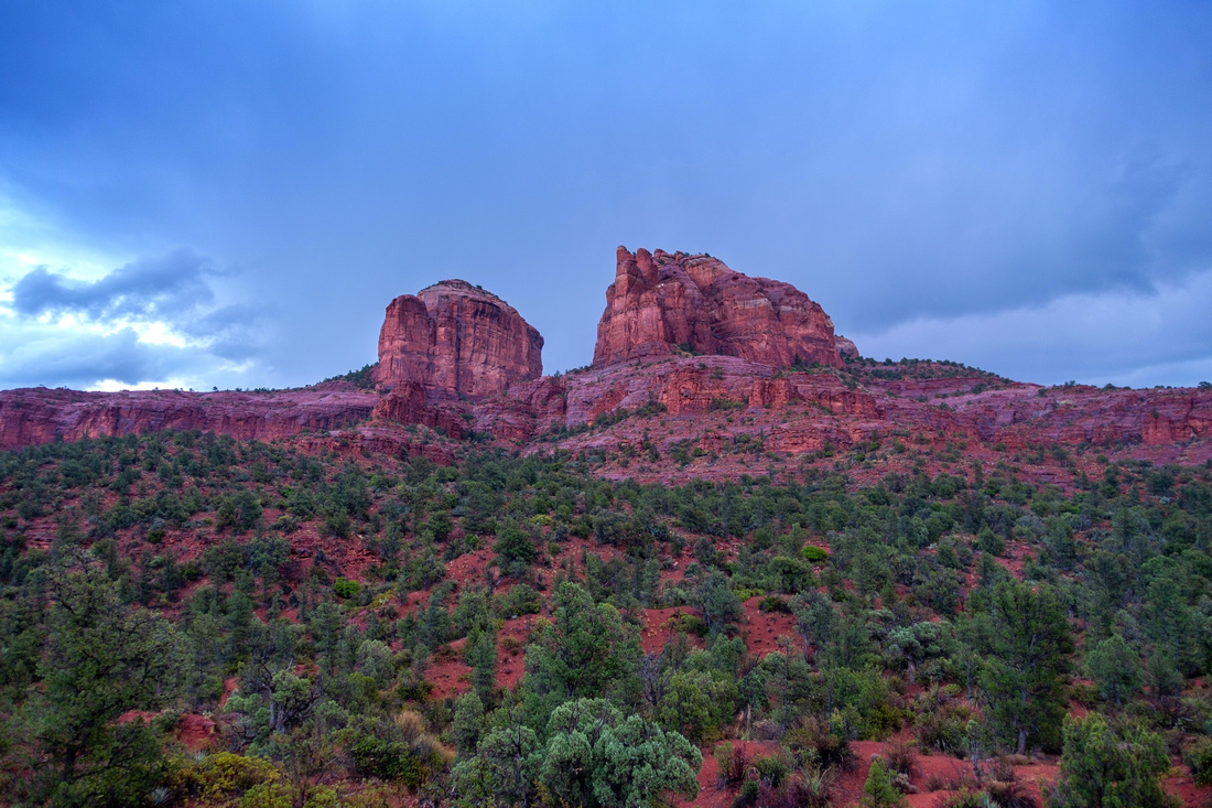
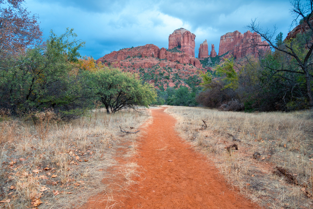
Stormy Skies over Cathedral Rock from Hiline / Baldwin junction |
|||
| Trip Summary | |||
Multiple Dates, last Nov 23, 2023
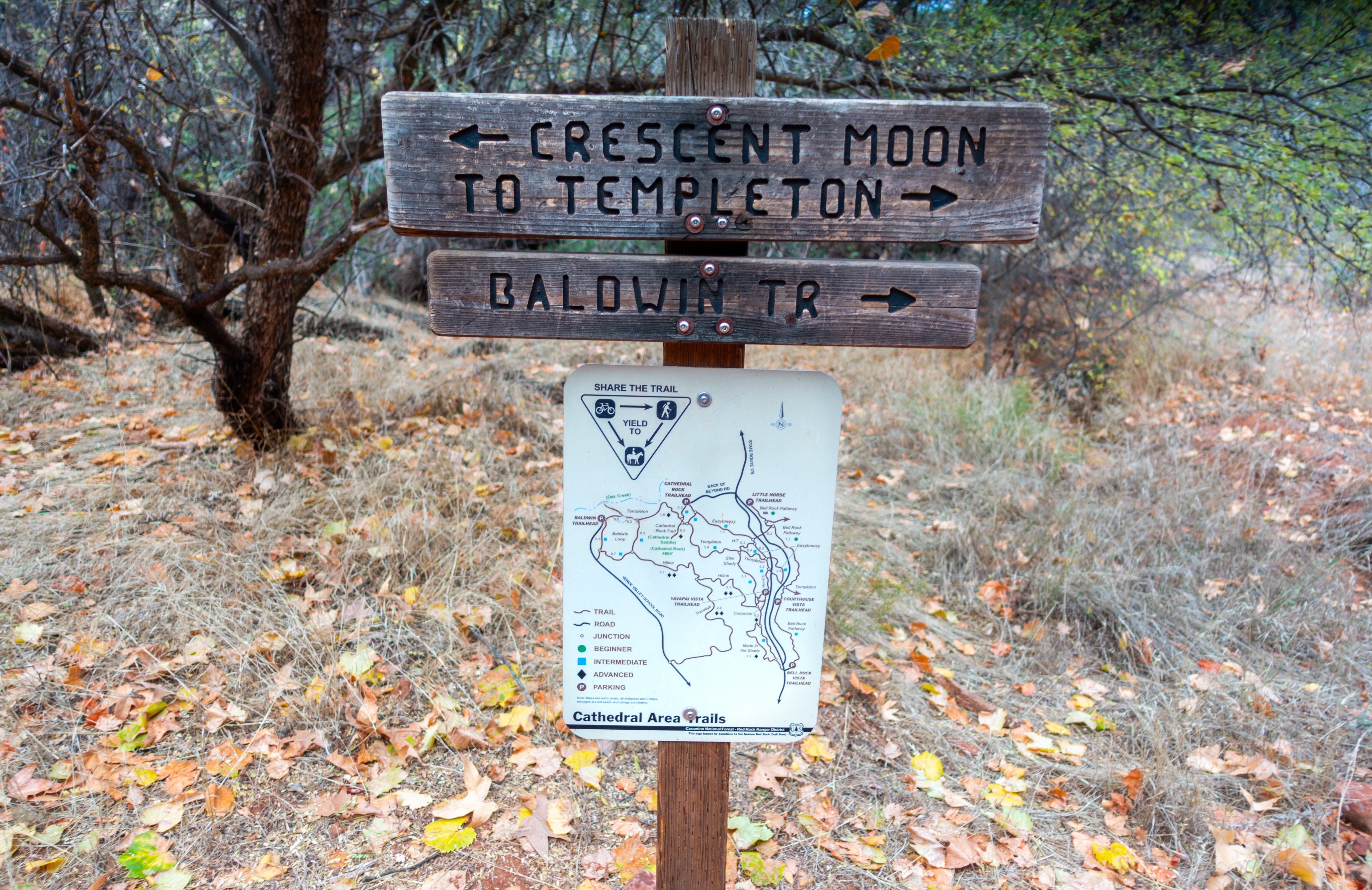
Baldwin Trial is short, family friendly hike that offers scenic Cathedral Rock southerly aspect. Starting from signed parking on Verde Valley School Road ~1.5km before Crescent Moon crossing, loop can be hiked CW or CCW. Both time I hiked Baldwin I went CW and this is the gallery photos order, but there is probably no advantage one way or the other. Last couple of kms before Trailhead are on unpaved road, but can easily be negotiated with low clearance cars. Trail is official with trail map starting across the road from parking area and all junctions are signed. Extensions are possible by exploring Templeton on Hiline trails, but both lead into much longer outings. Oak Creek crossing into Crescent Moon picnic site is another option, but note there is no bridge and wading is required. Just as the case with most of Red Rock trails network, Baldwin is also shared with mountain bikers so be on alert when ascending couple of blind Slickrock corners. |
|
Gallery |
|||
 Oak Creek Descent Oak Creek Descent Baldwin Trail descending gradually from Verde Valley Road Parking towards Oak Creek
 |
|||
 |
|||
|
|
|||
|
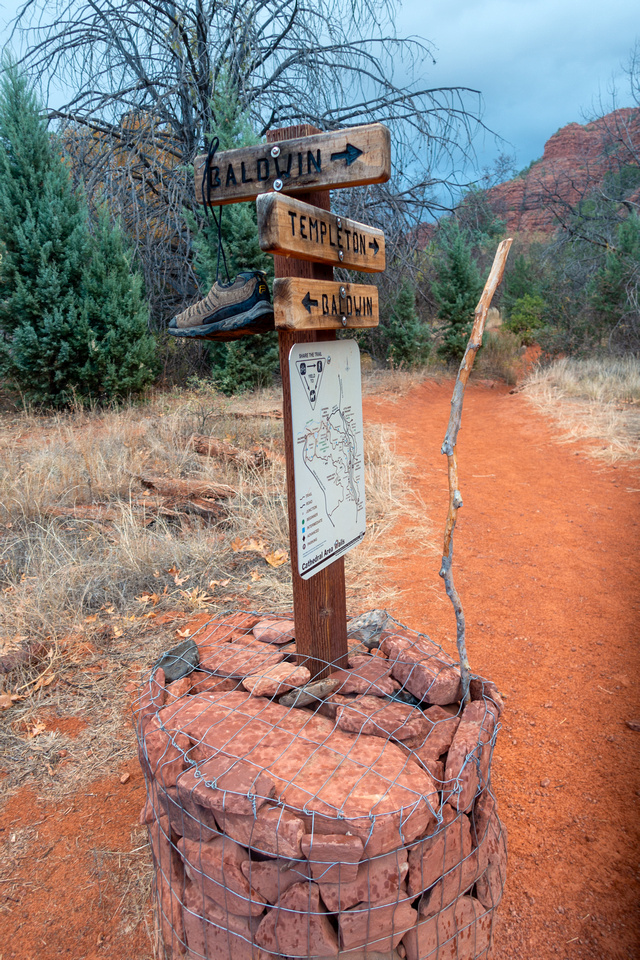
Templeton Trail Junction. Baldwin turns right and ascends shallow wash to Hiline |
|||
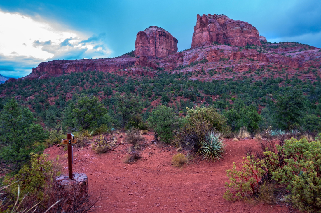 Hiline Junction
Junction with Hiline Trail ~20 min of gradual ascent from Oak Creek Hiline Junction
Junction with Hiline Trail ~20 min of gradual ascent from Oak Creek |
|||
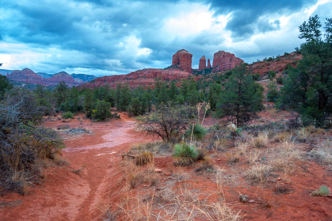
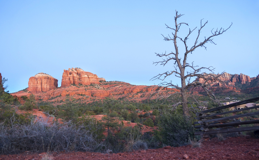 Cathedral Rock
Last look back to Cathedral Rock as Baldwin turns west and starts descent to Verde Valley Road. Seven Warriors right of dried try in the distance Cathedral Rock
Last look back to Cathedral Rock as Baldwin turns west and starts descent to Verde Valley Road. Seven Warriors right of dried try in the distance |
Abstract
| Overall Difficulty | D1/2 | Short Family friendly hike on wide trail with couple of moderately steep sections | |||
| Scenery | South Aspect of Cathedral Rock. Distant Prairie views south towards Cottonwood and Mingus Mountain Range | ||||
| Trail/Marking | Excellent | Well defined trail with marked junction and trail maps | |||
| Suggested Time | 2 hrs | Casual Pace for full loop. Vast network of trails can extend the day as desired | |||
| Elevation | Start: 1220m Max: 1270m Total: ~120m | Round Trip: 4km | |||
| Gear | Light hikers are sufficient | ||||
| Water | No reliable source. Carry 0.5-1L, depending on season | ||||
| Dog Friendly | Yes | Busy area - keep control of the pet for courtesy to other hikers | |||
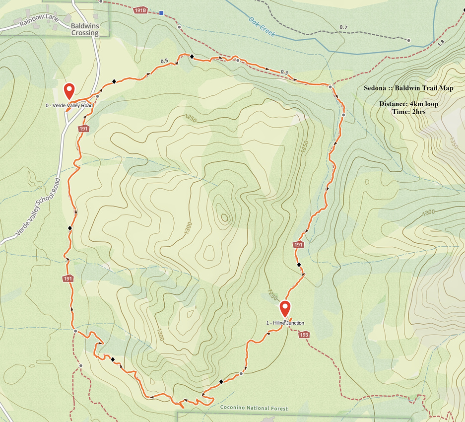 Baldwin Trail GAIA Map
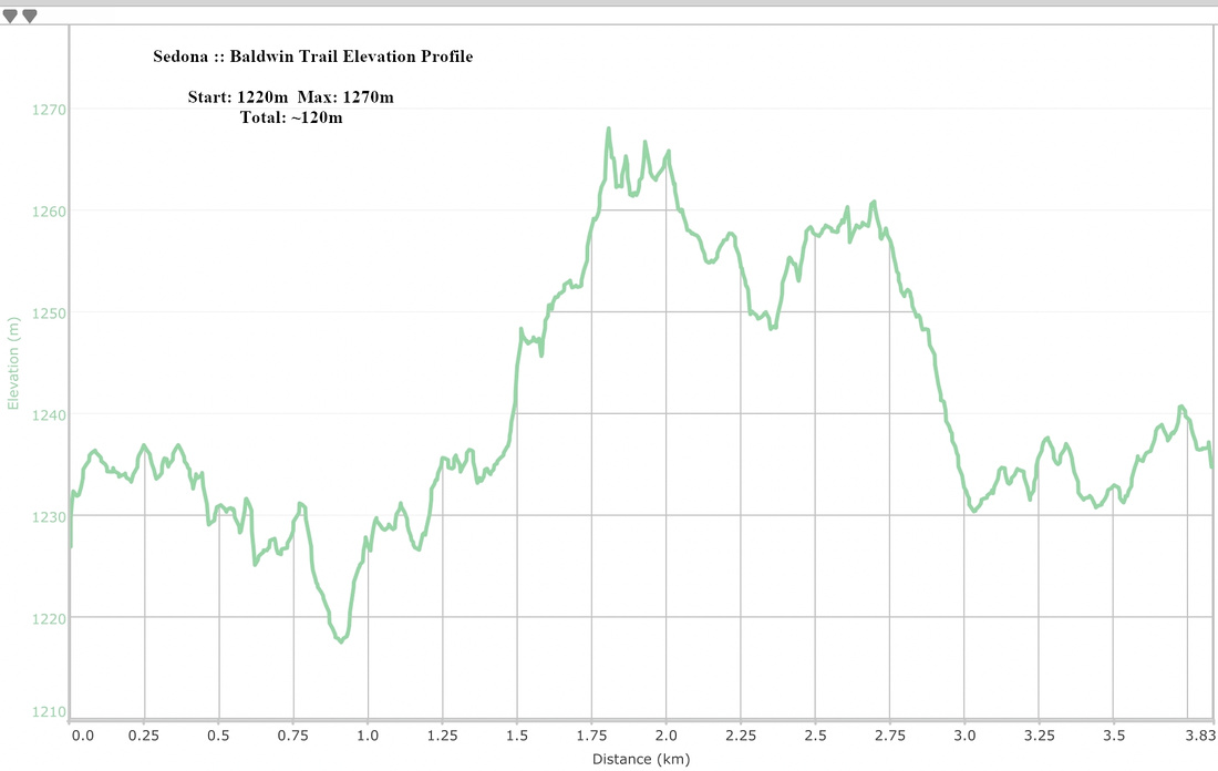 Baldwin Trail Elevation Profile