Google Map |
USA :: San Diego ::Laguna - Monument Peak |
GPS Track |
|
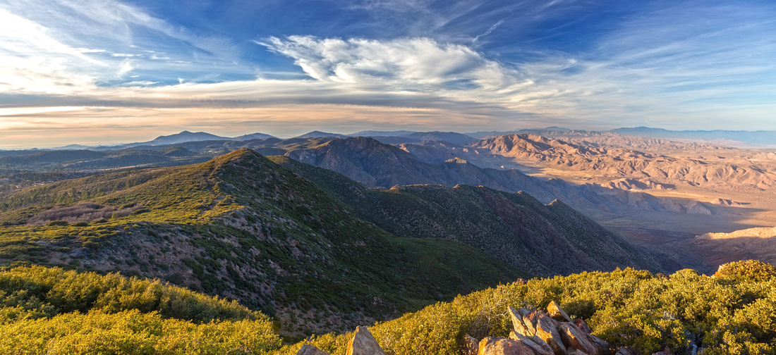
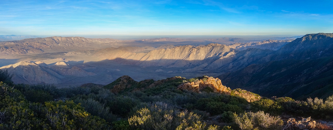
Panoramic view north from Monument Peak. Foreground ridge over Hayes Peak (left of center) can be traversed without much problem; Garnet Peak behind, center. Anza Borrego Desert Park center right |
| Trip Summary | |||
January 18, 2024
Monument Peak is a bump along Mount Laguna Ridgeline that drops to Anza Borrego Desert on east side. It is included in Sierra Club 100 peak list. Hike itself is fairly easy; if you just wanted to run up Monument and back it can be done in ~1.5hrs (return) from Big Laguna Trailhead on Sunrise Highway. Wanting to extend a day, after poking on maps and some Internet sites I devised a loop that allowed longer time enjoying iconic Pacific Crest Trail followed by off-trail ridgeline traverse north across Hayes peak. Stats in Abstract are given for this variation.
After parking at Desert View past Laguna Village (Fee, or Inter-Agency Pass required), drop east past picnic benches and intersect PCT; turn left. PCT is then followed for about an hour to Monument Peak junction, crossing 2 service roads and Big Laguna Trail along the way. Monument trail is slightly overgrown with Manzanita trees (see Gallery) to summit area that has NASA Laser Tuning / Research facility. This sounds quite fancy, but in reality is just fenced area with bunch of containers, while summit itself has bunch of telecom towers. On my Jan '24 visit there was also visitor register tucked in small cairn at highest point. Optional extension on return follows Laguna ridgeline north across Hayes Peak. Faint trail disappears just past summit cairn, but PCT can be spotted in the valley below. This off-trail descent is not difficult but hiking poles with help. 360 Panoramic Views are outstanding to say the least. Upon reaching PCT (Waypoint "4 - PCT", GPS download top of Page) turn left and hike back to Desert View. This is recommended trip with huge scenic reward for very modest effort. |
|
Gallery |
|||
 Desert View Desert View Desert View ~1km north of Mt. Laguna Recreation Area. PCT runs just below the picnic area
 |
|||
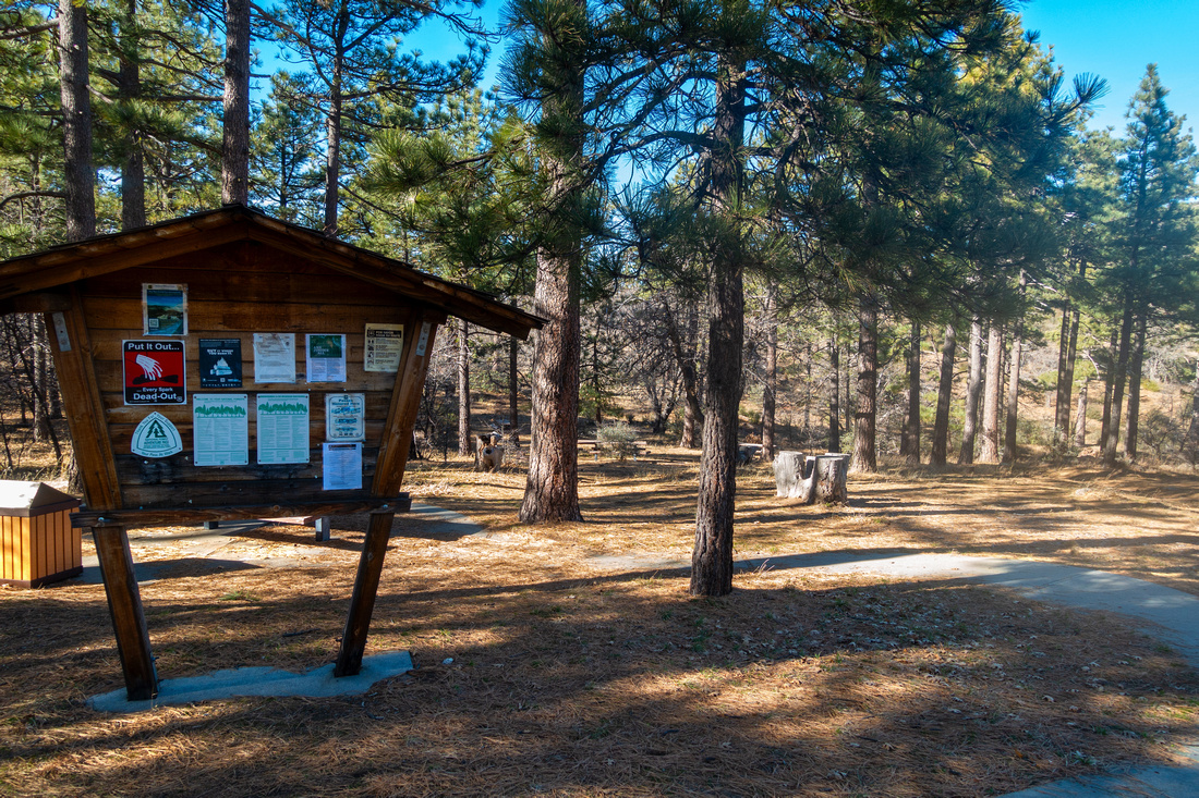
 Laguna Sign
Laguna Center Facilities Sign as PCT crosses side road near Desert View Laguna Sign
Laguna Center Facilities Sign as PCT crosses side road near Desert View |
|||
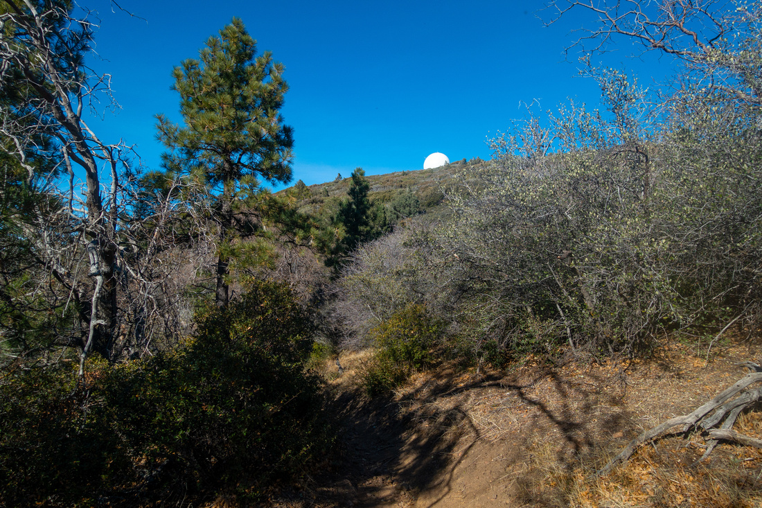 Laguna Observatory
White Dome of Laguna Observatory peek-a-boo as PCT traverses semi open slopes heading north Laguna Observatory
White Dome of Laguna Observatory peek-a-boo as PCT traverses semi open slopes heading north |
|||
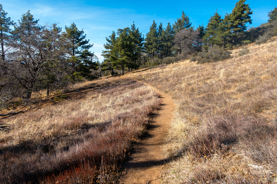 Grassy Hillside
Pleasant Hiking on open hillside below Laguna Ridge Grassy Hillside
Pleasant Hiking on open hillside below Laguna Ridge |
|||
 PCT Sign
Standard PCT sign as trail crosses second side road ~10min before Big Laguna junction PCT Sign
Standard PCT sign as trail crosses second side road ~10min before Big Laguna junction |
|||
 Big Laguna Junction
Looking back at PCT / Big Laguna junction - note distant observatory. Big Laguna Junction
Looking back at PCT / Big Laguna junction - note distant observatory. |
|||
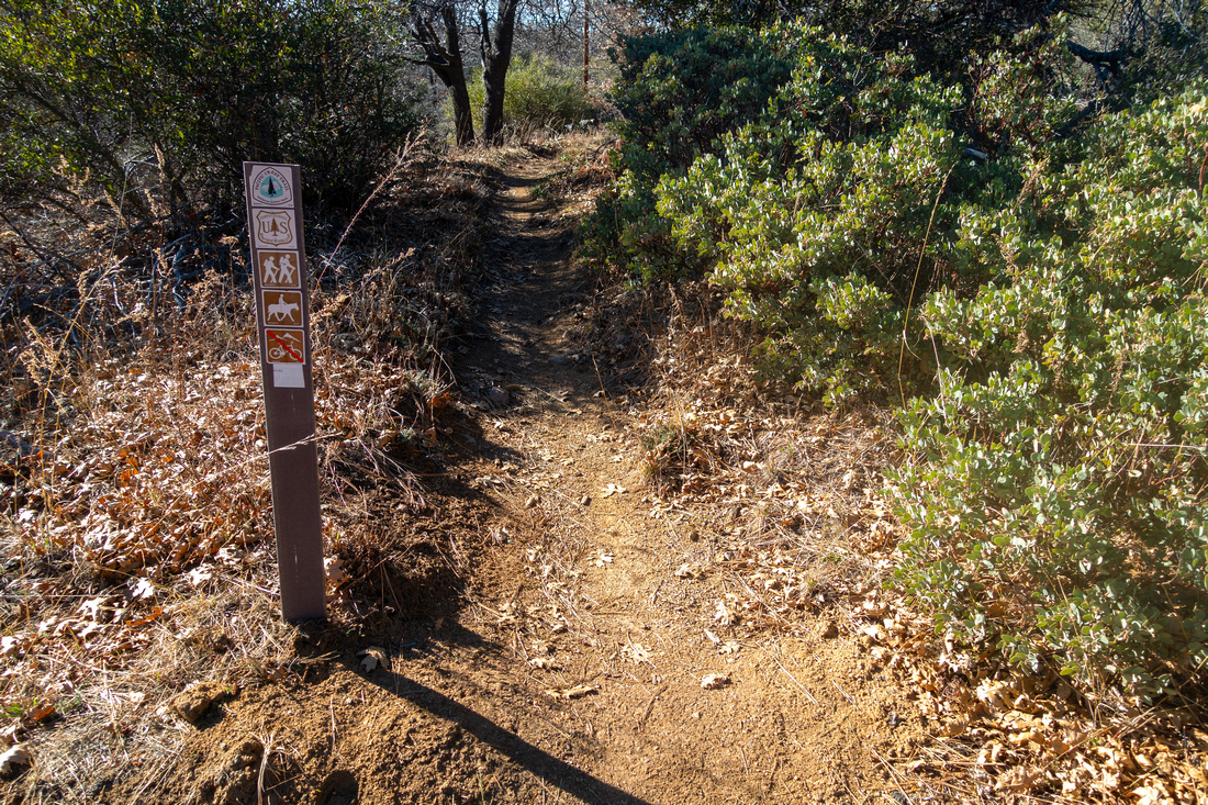
 Monument Junction
Monument Peak turnoff 10-15min past Big Laguna junction as PCT makes sharp left turn. Note sign; if in doubt use GPS track download from Top of Page (Waypoint "2 - Monument Junction") Monument Junction
Monument Peak turnoff 10-15min past Big Laguna junction as PCT makes sharp left turn. Note sign; if in doubt use GPS track download from Top of Page (Waypoint "2 - Monument Junction") |
|||
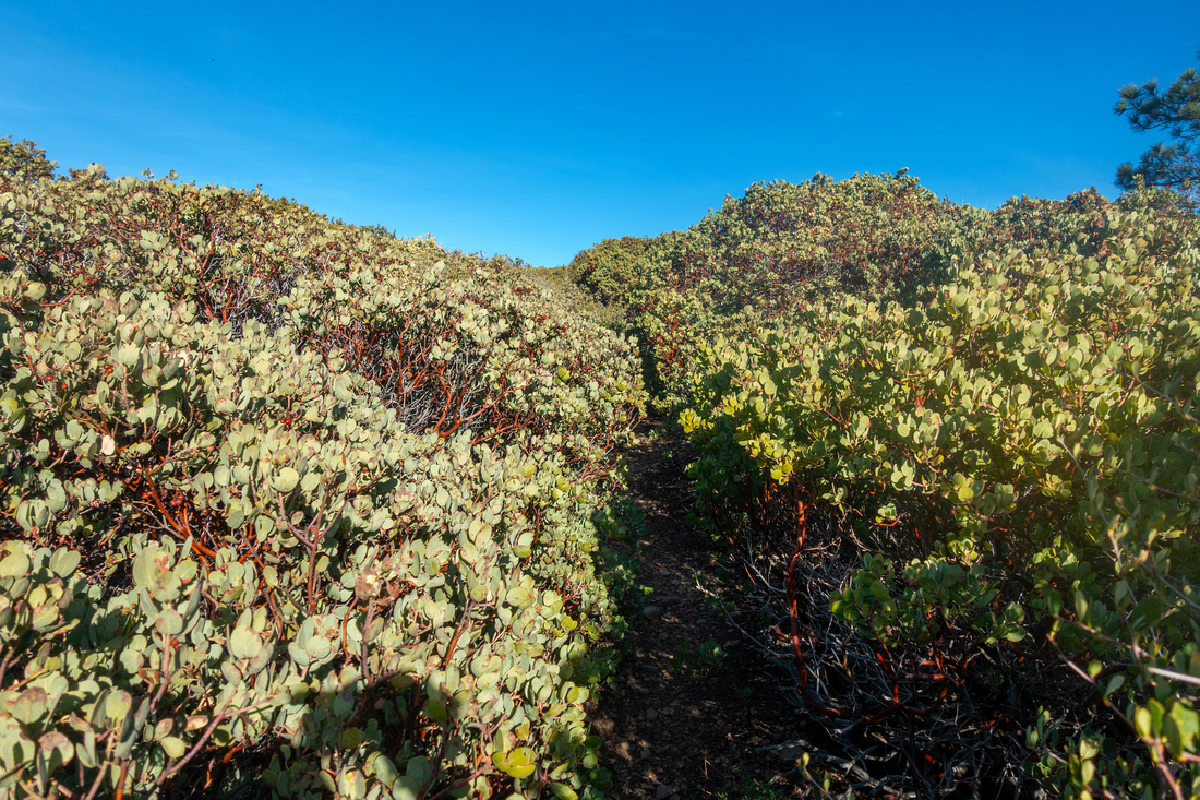 Manzanita Tunnel
Short mild bushwhack up Manzanita "forest". Long sleeves help here Manzanita Tunnel
Short mild bushwhack up Manzanita "forest". Long sleeves help here |
|||
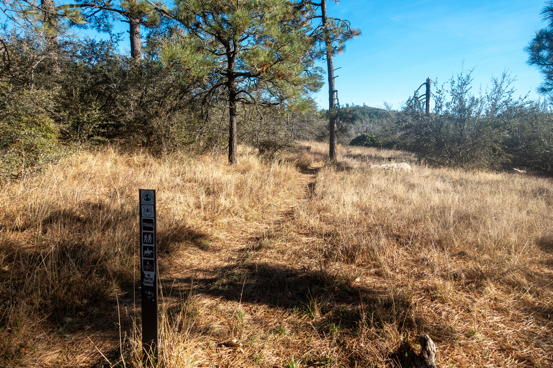
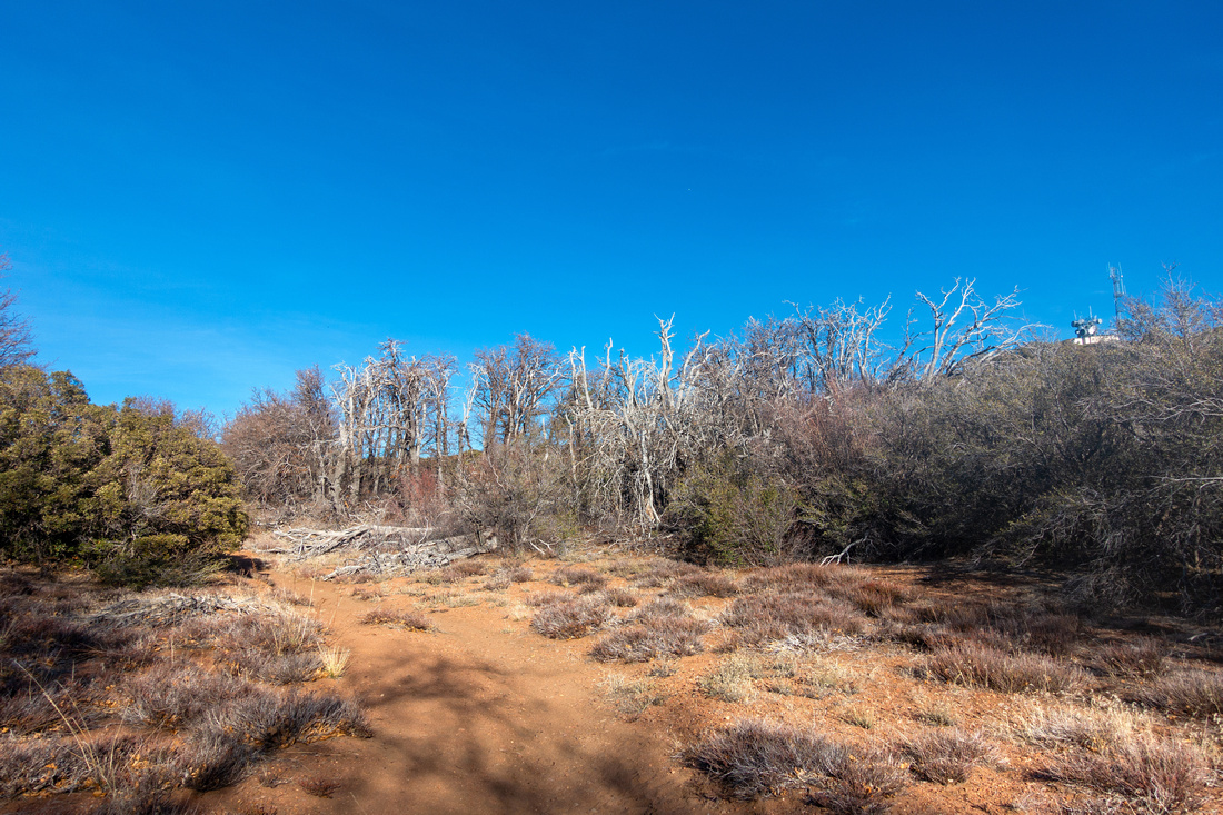 Monument Trail
Trail opening up and curling gently towards Monument Service Road Monument Trail
Trail opening up and curling gently towards Monument Service Road |
|||
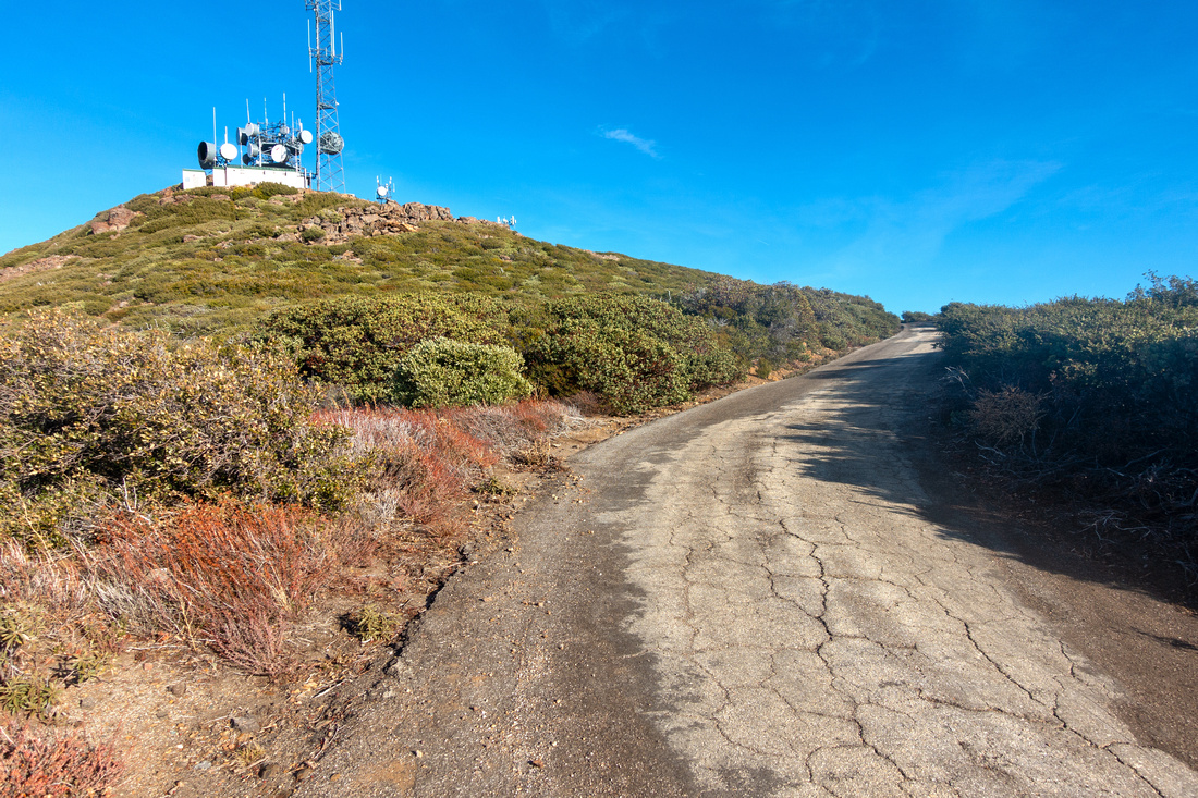 Monument Service Road
Final push to the summit is on paved Service Road Monument Service Road
Final push to the summit is on paved Service Road |
|||
 Laser Target
 Warning above NASA research facility; you can read here more about the Project. Laguna Ridge with distant Observatory right of upper center Laser Target
Laser Target Warning above NASA research facility; you can read here more about the Project. Laguna Ridge with distant Observatory right of upper center |
|||
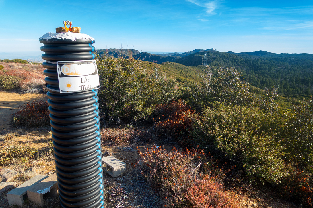
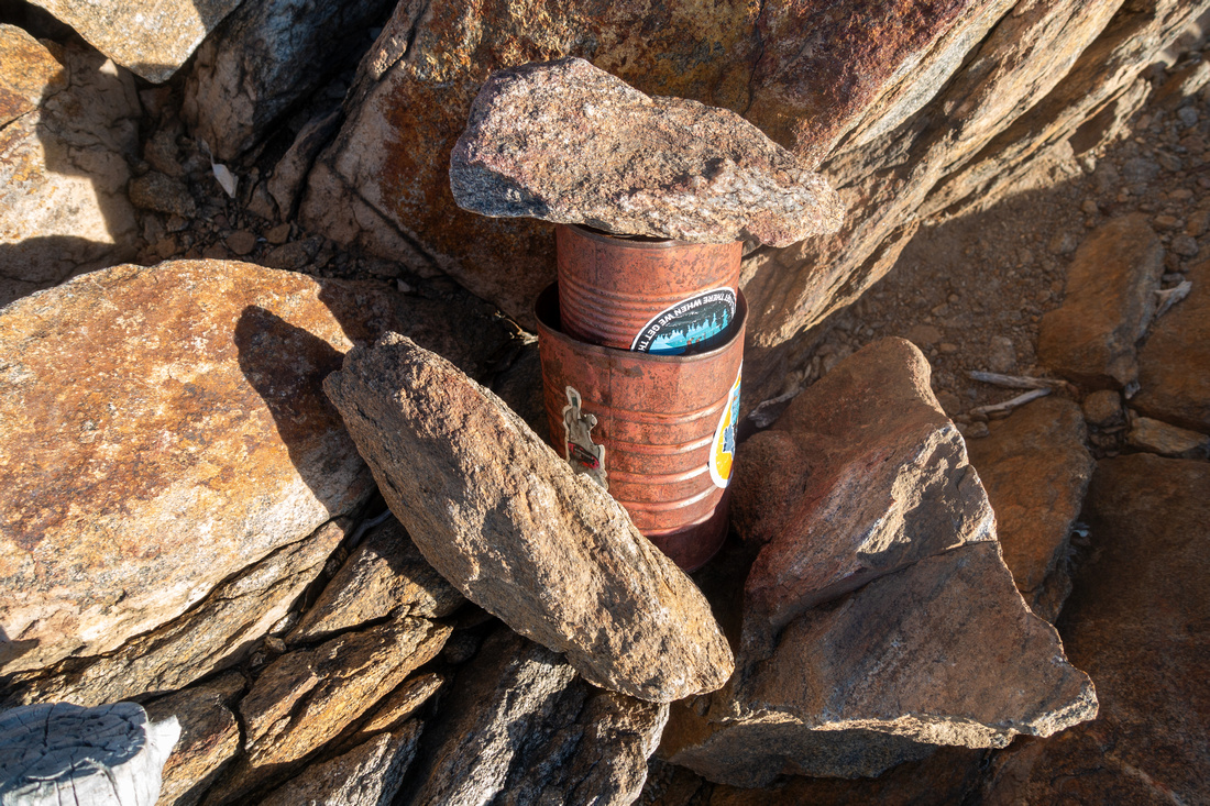 Monument Register
On my '24 visit Summit (just past communication towers) had - somewhat unexpected - Register Monument Register
On my '24 visit Summit (just past communication towers) had - somewhat unexpected - Register |
|||
 Anza Borrego Panorama
Panoramic View East across Anza Borrego Desert State park from Monument Peak Anza Borrego Panorama
Panoramic View East across Anza Borrego Desert State park from Monument Peak |
|||
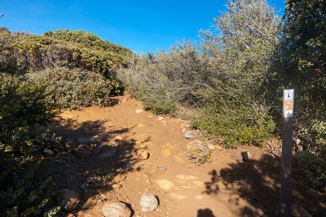
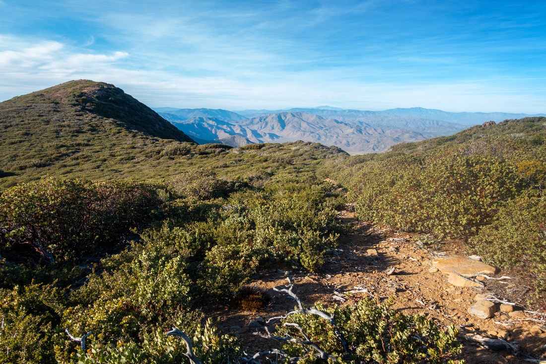 Hayes Ridge
Optional loop return via Hayes ridge starts just below NASA facility. There is faint trail most of the way Hayes Ridge
Optional loop return via Hayes ridge starts just below NASA facility. There is faint trail most of the way |
|||
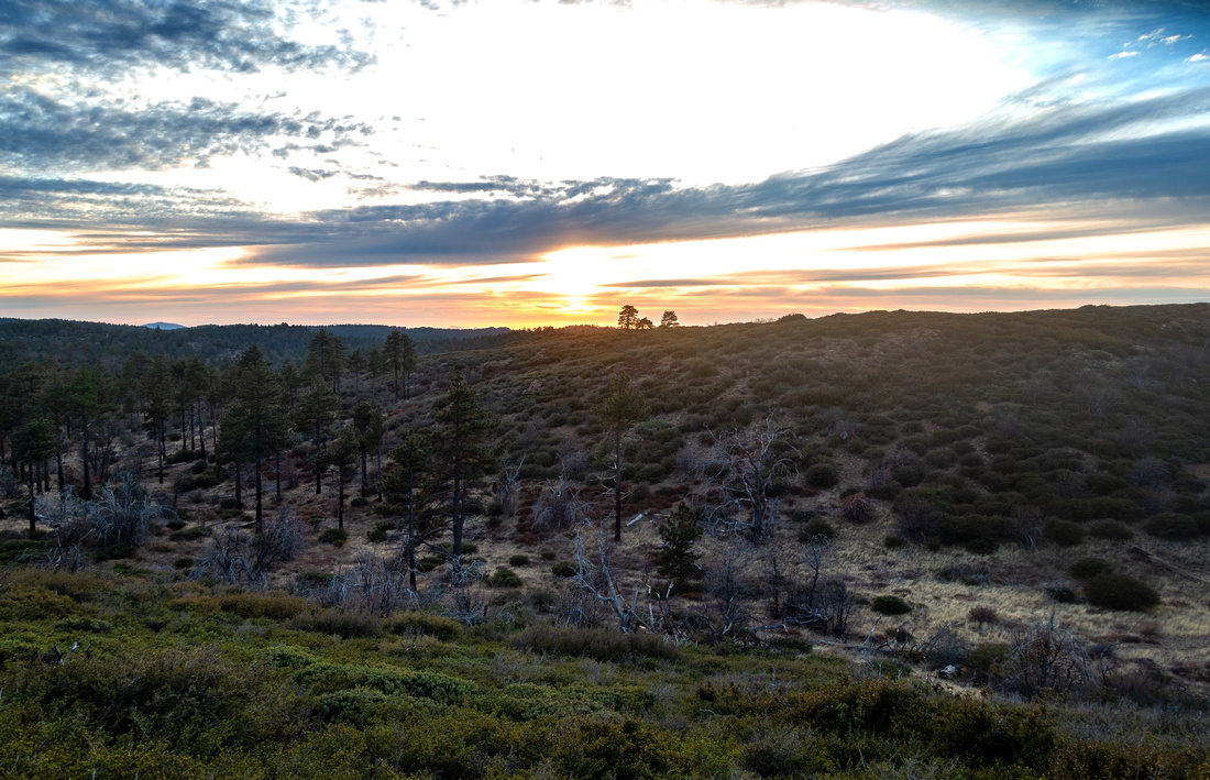 Pacific Sunset
Sun setting over San Diego county as Ridge route joins PCT just below Hayes Peak Pacific Sunset
Sun setting over San Diego county as Ridge route joins PCT just below Hayes Peak |
Abstract
| Overall Difficulty | D2/3 | Easy hiking on PCT. Short Manzanita trees bushwhack on Monument Trail. Some rocky/bushy parts on Hayes Ridge | |||
| Scenery | Laguna Meadows and Peaks. Anza Borrego Desert State Park. Distant San Jacinto Mountain Range | ||||
| Trail/Marking | Very Good | PCT well defined with signed junctions. Monument turnoff not marked. Off trail for optional Hayes Ridge loop | |||
| Suggested Time | 4hrs | Desert View / Hayes Ridge. 2hrs or less if starting from Big Laguna and returning the same way | |||
| Elevation | Start: 1825m (Desert View) Max: 1915m Total: ~350m | Round Trip: ~10km (Desert View - Hayes Ridge Loop) | |||
| Gear | Day Hikers. Hiking pole helpful for stability on rough parts | ||||
| Water | No water source. Carry 1L, more in summer | ||||
| Snow Factor | Mount Laguna can receive substantial snowfall after winter snow storms. It usually melts fast but might present slippery conditions | ||||
| Dog Friendly | Yes | Dogs must be kept on leash throughout Mount Laguna Recreation Area / Cleveland National Forest | |||
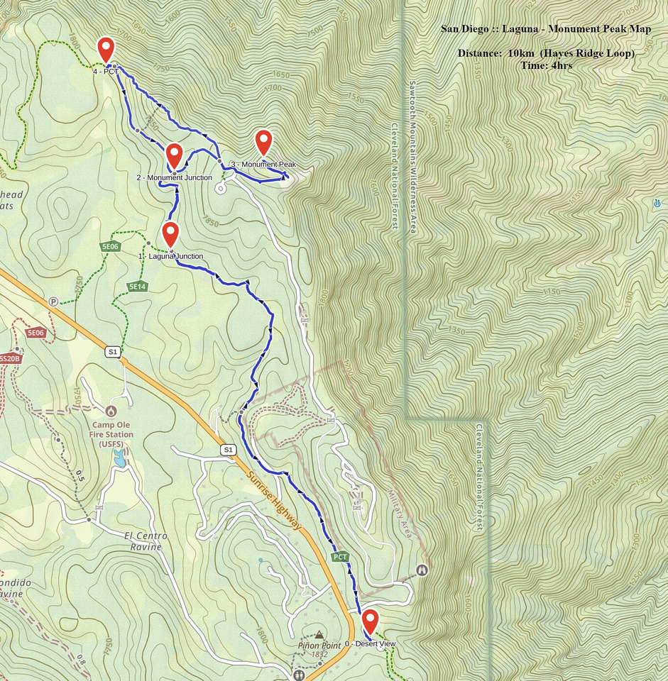 Laguna - Monument Peak GAIA Map
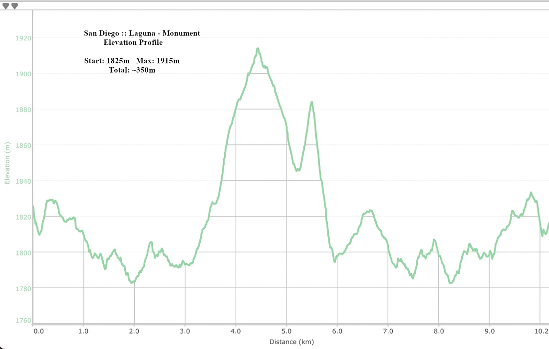 Laguna - Monument Peak Elevation Profile