Google Map |
USA :: San Diego ::Laguna - Garnet Peak |
GPS Track |
|
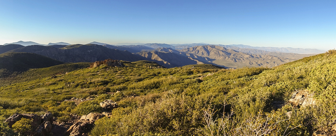
Panoramic view north towards Anza Borrego Desert State Park from ascent slopes of Garnet Peak |
| Trip Summary | |||
January 30, 2022
Garnet Peak is fantastic viewpoint in Laguna mountains at eastern edge of Cleveland National Forest. Scenic Sunrise Highway bisects the area south-north between I-8 and SR79. Focal point is Mount Laguna Lodge / Campground / Visitor Center around midpoint. There are several maintained trails along the way, including world famous Pacific Crest Trail (PCT), that runs from US/Mexico border and ends just south of Manning Provincial Park in BC, Canada. Altitude is around 6000 ft and climate is considerably colder compared with mild California coast; storms sometimes deposit several inches of snow in winter months and might make conditions difficult specially as people in this part of the world are not used to winter driving.
Normal Garnet Peak trail is quite short and can be done in about 2 hours, when starting from normal trailhead. Pullout is small and not marked, thus easy to miss. It will be about 5 minutes from Mount Laguna visitor center, going north. Use GPS track (download link on top of page, waypoint 4 - Sunrise Highway). On my trip, wanting a taste of Pacific Crest Trail I parked at Penny Pines (waypoint 0 - Penny Pines) then followed PCT rolling across gentle hillside for about 2.5km to intersection with normal Garnet Trail. On return I descended directly then simply walked on road back to Penny Pines. This distance is short (about half a km only) and two cars will not be required. Penny Pines parking area is also much wider. Winter gate that gets closed after snow storms is there.
Hiking is hands-in-your-pocket type along PCT and lower part of Garnet Trail, but upper part past PCT/Garnet junction is more steep with rocky trailbed that asks for bit of balancing now and then. Final rise to the summit has one low class 2 scramble step; it is very short and does not present difficulty. Summit area is not particularly wide and quite rocky. Peak is popular and space to sit might be hard to find during summer weekends. Summit views are phenomenal, in particular aerial panorama of Anza Borrego Desert State Park directly NE. On a clear day distant Mt. San Jacinto and Salton Sea can be seen as well. This hike is well recommended as introduction to Laguna mountains area with bit more challenge than popular forest/meadows valley walk on Sunrise trail to the west. |
|
Gallery |
|||
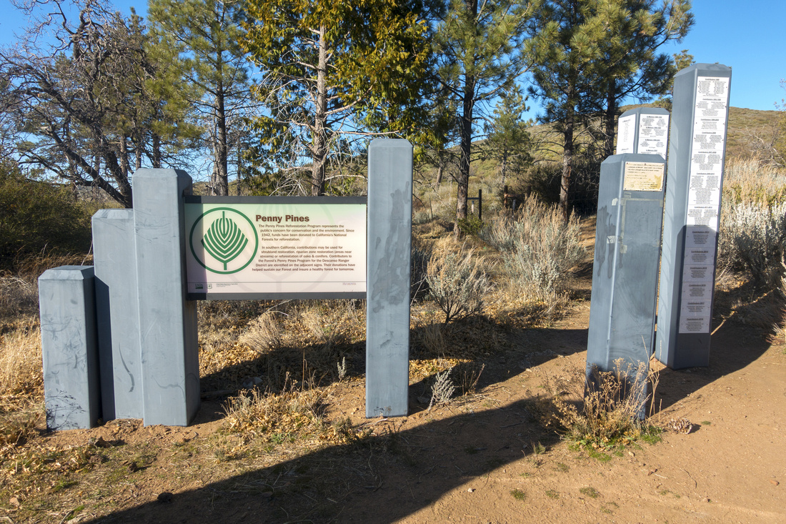 Penny Pines Penny Pines Penny Pines trailhead couple of km north from main Laguna Recreation area
 |
|||
 PCT Junction PCT Junction Table at Pacific Crest Trail Junction
 |
|||
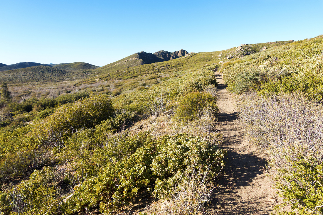 PCT Hiking PCT Hiking Gorgeous Hiking along Pacific Crest Trail for couple of km. Garnet Peak in upper center. PCT skirts lower grassy hill on left side
 |
|||
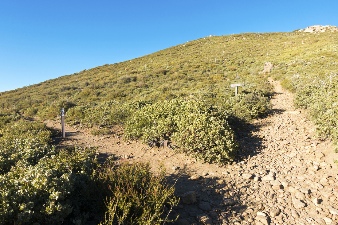 Garnet - PCT Junction Garnet - PCT Junction PCT Junction with normal Garnet Peak trail which branches right up the hill
 |
|||
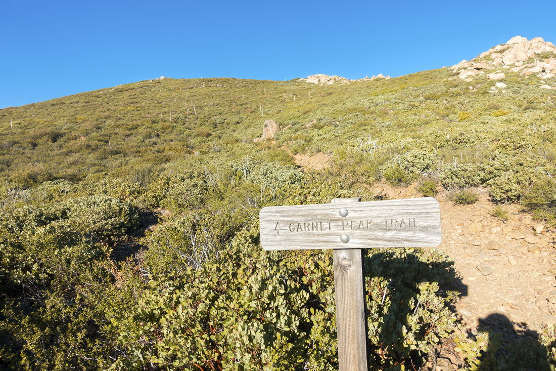 Garnet Peak Table Garnet Peak Table Garnet Peak trail rises diagonally left-right towards the Skyline ridge. True summit can't be seen from here
 |
|||
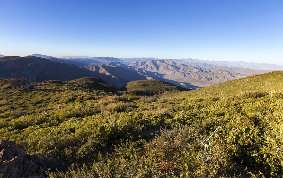 Garnet Shoulder Garnet Shoulder Fantastic views north open as Garnet trail round the shoulder below the summit
 |
|||
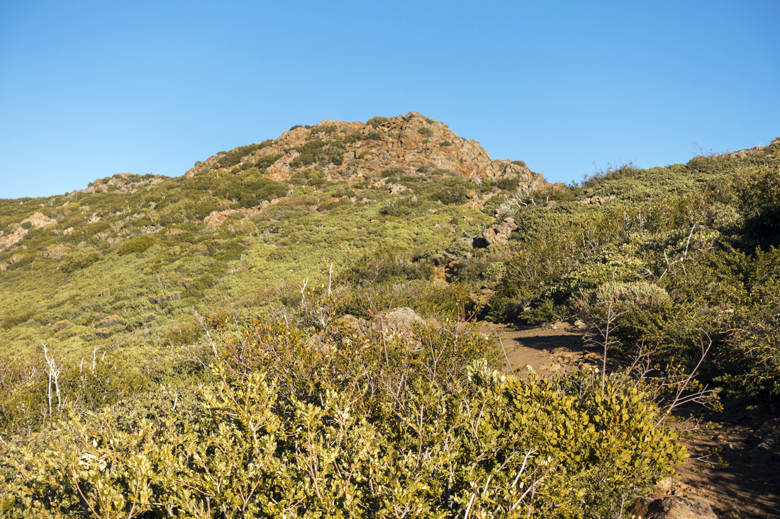 Garnet Peak Garnet Peak Final part of ascent is bit more steep and rocky with one brief scrambly bit near the top
 |
|||
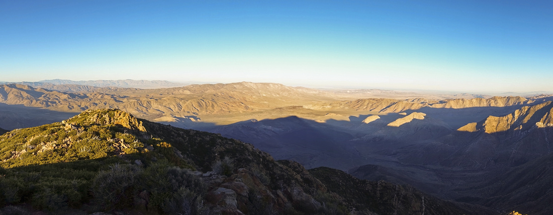 Garnet Panorama Garnet Panorama Great Panoramic view east across Anza Borrego Desert from Garnet Peak
 |
|||
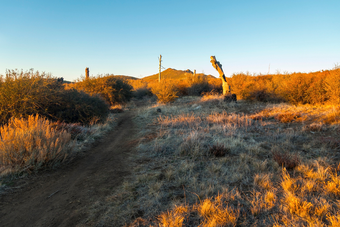 Sunset Colors Sunset Colors Looking back towards Garnet Peak from lower part of normal trail just above Sunrise Highway
 |
Abstract
| Overall Difficulty | D2/3 | Rocky Trailbed past PCT Junction. Steep but short bit below Garnet Summit with one brief low class 2 step | |||
| Scenery | Laguna Meadows and Peaks. Anza Borrego Desert State Park. Distant San Jacinto Mountain Range | ||||
| Trail/Marking | Very Good | Well defined trail with marked junctions. Normal Garnet Peak trailhead pullout not signed and easy to miss | |||
| Suggested Time | 3hrs | For Penny Pines start / PCT approach. 2hrs enough if hiking only Garnet Peak via normal trail | |||
| Elevation | Start: 1650m (Penny Pines) Max: 1780m Total: ~210m | Round Trip: ~6km (Penny Pines/PCT approach) | |||
| Gear | Day Hikers. Hiking pole helpful for stability on rough parts | ||||
| Water | No water source. Carry 1L, more in summer | ||||
| Snow Factor | Mount Laguna can receive substantial snowfall after winter snow storms. It usually melts fast but might present slippery conditions | ||||
| Dog Friendly | Yes | Dogs must be kept on leash throughout Mount Laguna Recreation Area / Cleveland National Forest | |||
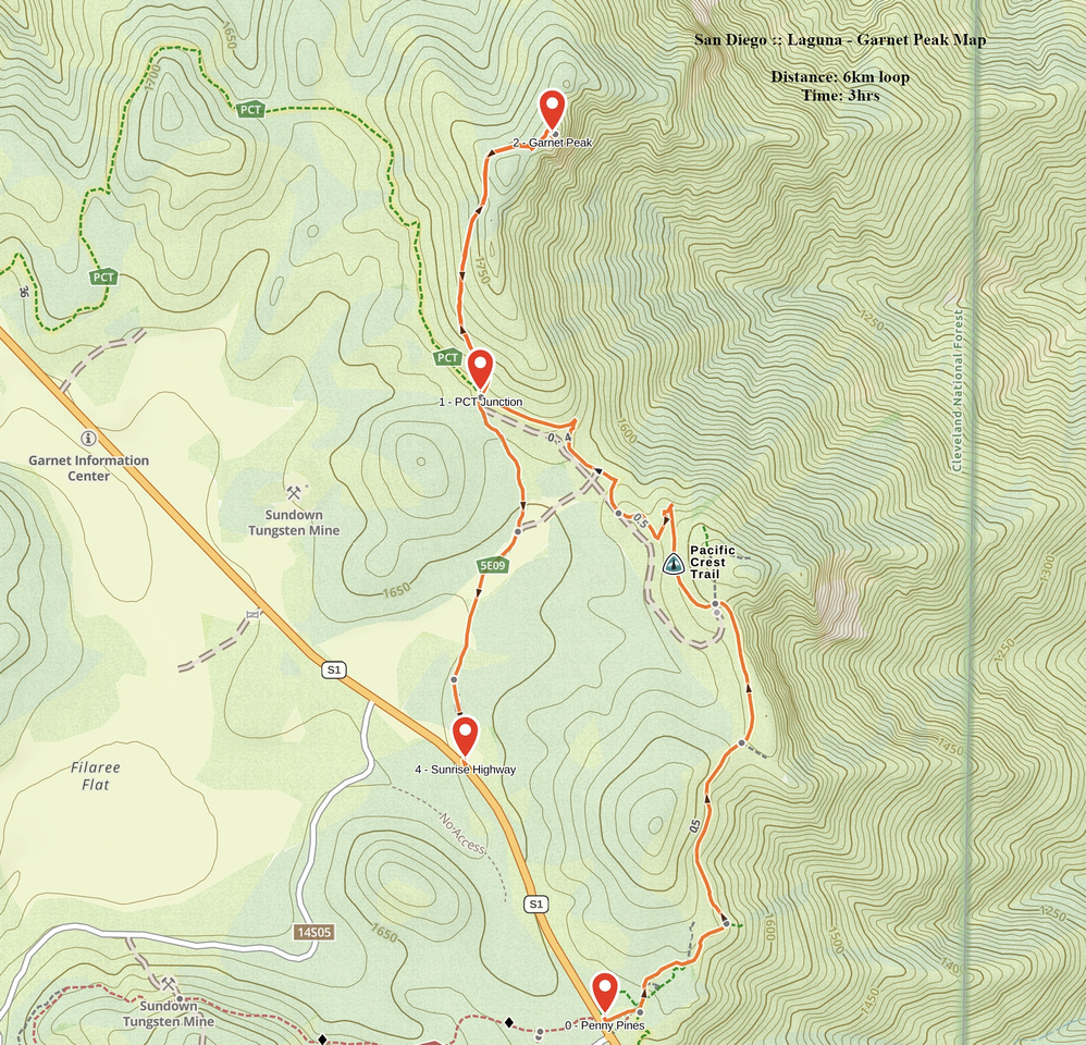 Laguna - Garnet Peak GAIA Map
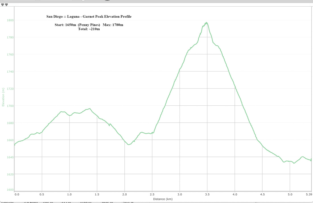 Laguna - Garnet Peak Elevation Profile
