Google Map |
Rockies :: Kootenays :: Numa Peak |
GPS Track |
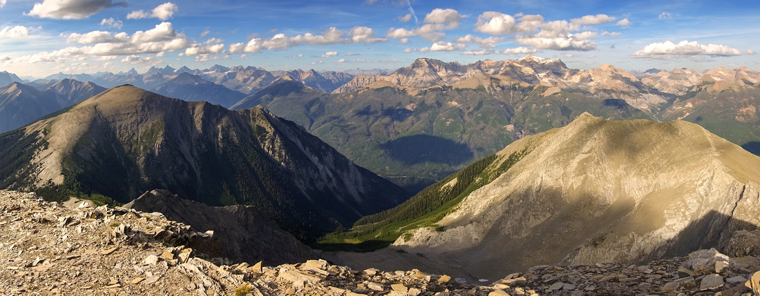 
Panoramic View NE from 2730m Numa Peak. Numa Creek Rockwall access valley below. Stanley Peak, Beatrice, Ball and Isabelle Peak center right, distant Louise area peaks left |
|||
| Trip Summary | |||
Aug 22, 2024Numa Peak is infrequently ascended summit rising east of Numa Pass on classic Rockwall Trail. Overall distance / elevation gain from Hwy93 is significant; as such it is probably best done as day trip with light pack from Floe Lake 'basecamp'. For fit hiker day trip is feasible as approach is on well maintained Floe Lake trail where fast travel is possible; this is how I did it, and how this report is composed.
First ~10km to Floe Lake is classic Rockwall. It will take ~3hrs of fast pace, and forested Headwall ascent below Floe basin will sap some energy. Gallery photos from my Aug '22 trip are below, for detail write-up please consult Floe section of my Rockwall page. After well deserved break at Floe Lake continue up Numa Pass trail, but it is not necessary to hike all the way. Leave trail as it exits last stand of larch trees (Waypoint '2 - Rockwall Trail', GPS Track download Top of Page) and hike up grassy ridge to the right (east); delightful easy walk leads to highpoint ~50m vertical above Numa Pass. Lower Summit of Numa Peak is orange talus cone on the other side; true summit lies behind and still can not be seen. Inevitable drop to saddle in between loses ~90m vertical but it is quick. Talus slope on the other side is very stable, although probably quite slippery with light snow cover. There are some scree trails and even cairn or two, but any direction will work - just aim for highpoint above, then ascend bit of ridge to lower summit that has cairn. True summit is now visible behind and connecting ridgewalk might well be best part of the day - entirely hands in your pockets, except for brief step with mild exposure directly below lower summit (class 2). Summit views are nothing short of spectacular and include many peaks of Kootenay and Banff National Parks; better yet you are likely to have this all to yourself! Return the same way.
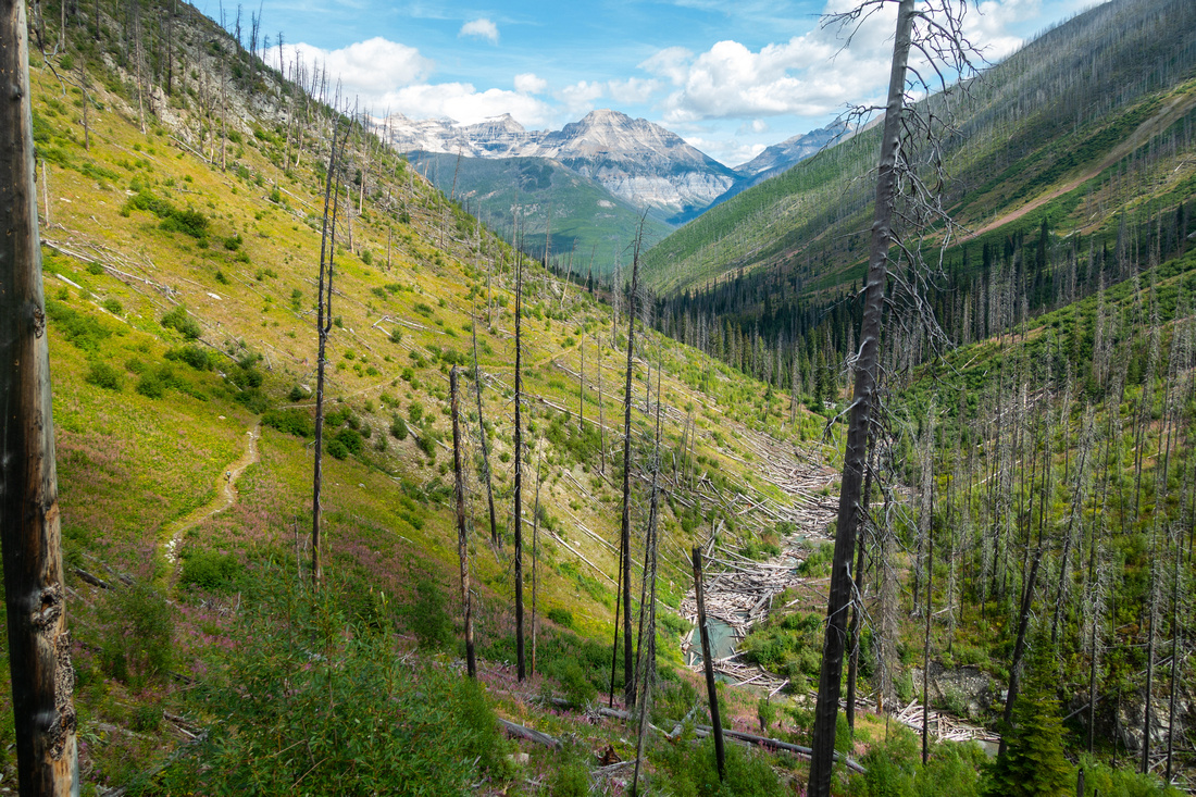
Instead of going all the way to Numa Pass some groups prefer to ascend - or descend - via Avalanche Gully ~km6 of Floe Trail. Although this variation cuts some horizontal distance, it is very steep and awkward and I strongly recommend against it, even on return. It is far better to use scenic variation as described on this report. |
|
Gallery |
|||
 Kootenay Crossing Kootenay Crossing Crossing Kootenay River on solid bridge ~5min below Floe Lake Parking
 |
|||
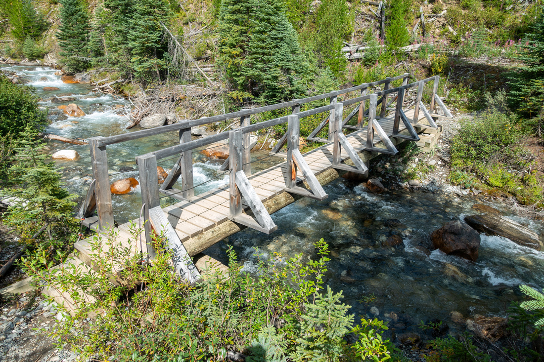 Floe Creek Bridge Floe Creek Bridge Crossing Floe Creek ~1.5km from trailhead. Trail switchbacks open slopes on the other side, then settles for long approach to Floe Basin
 |
|||
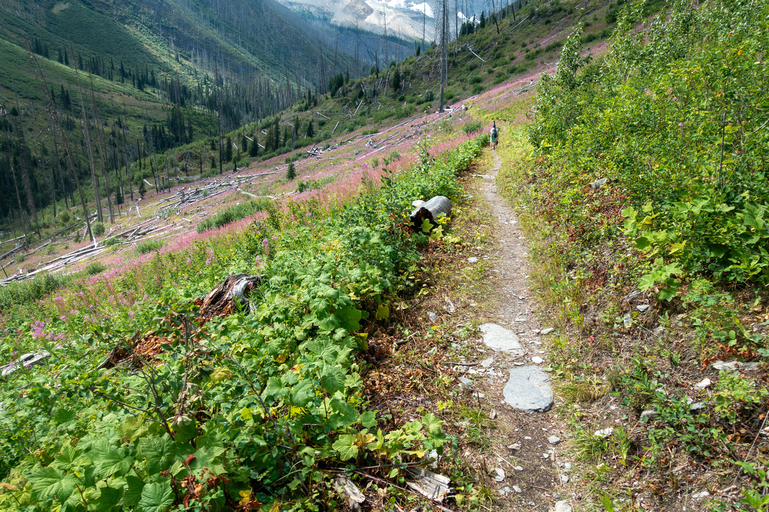 Floe Trail Floe Trail Well defined and cleared Floe Lake Trail traversing open hillside without gaining much elevation in first 7km
 |
|||
|
|
|||
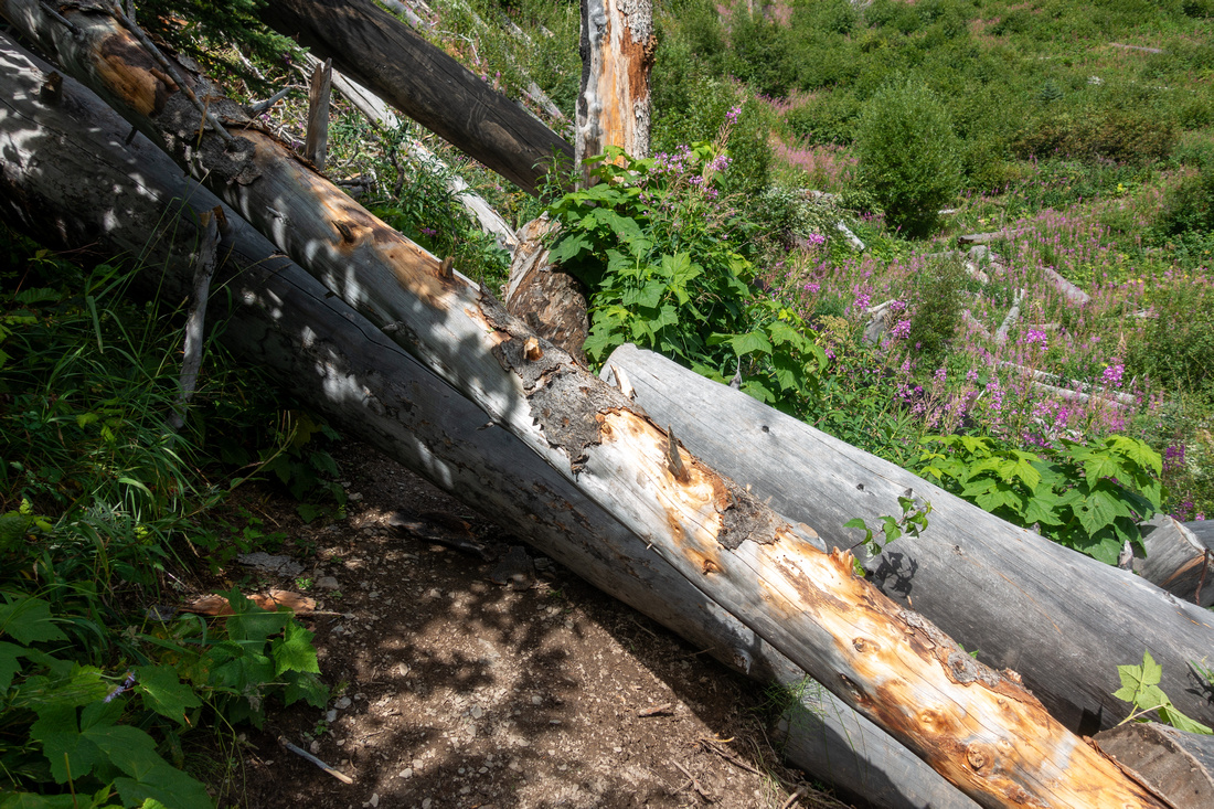 Deadfall Deadfall Despite being regularly maintained there are often several areas of fresh deadfall
 |
|||
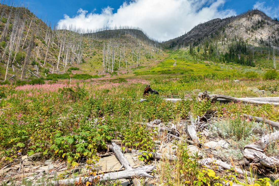 Shortcut Gully Shortcut Gully Open avalanche slope ~6km mark some parties use for Numa Peak access. It is long, bushy and ultra steep - not recommended. It is much better to use scenic Floe variation, even for descent
 |
|||
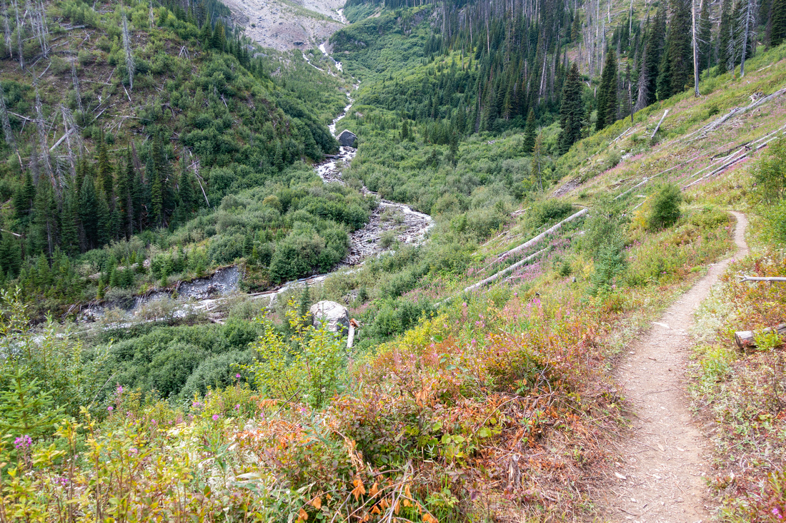 Headwall Trail Headwall Trail Approaching steep firested Headwall below Floe Lake Basin ~km7
 |
|||
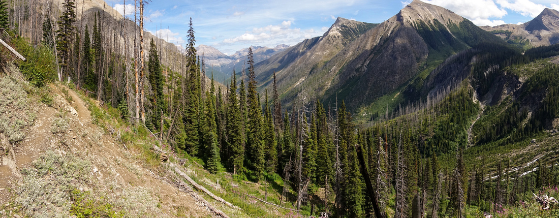 Headwall Panorama Headwall Panorama Panoramic view back as trail switchbacks Headwall below Floe Lake
 |
|||
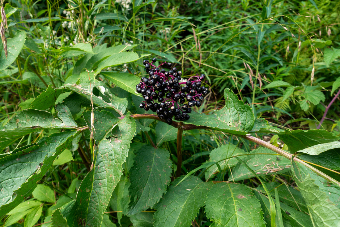 Elderberry Elderberry Trailside Elderberry (Sambucus canadensis) climbing forested Floe Headwall
 |
|||
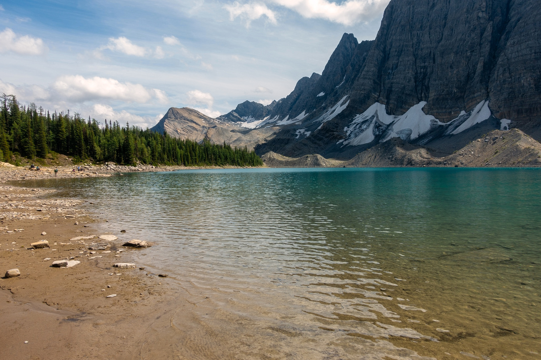 Floe Lake Floe Lake Scenic Floe Lake with Floe Peak cliffs behind. By far busiest Rockwall Trail campground booked solid throughout the season
 |
|||
 Floe Junction Floe Junction Signed Junction near Ranger Cabin at Floe Lake campground. Rockwall trail continues right to Numa Pass
 |
|||
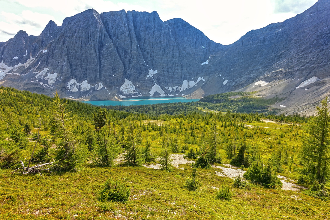 Floe Basin Floe Basin Classic view of Floe Lake basin from Numa Pass alpine environs near the point where you leave Rockwall trail (Waypoint "2 - Rockwall Trail, GPS Download Top of Page"). Abundance of larches make this area ultra scenic in 2nd half of September
 |
|||
 Numa Pass Ridge Numa Pass Ridge Hiking delightful Ridge above Numa Pass. Lower summit of Numa Peak upper left corner
 |
|||
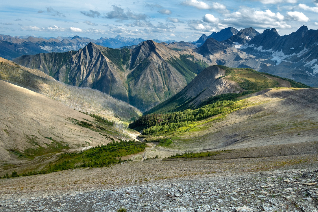 Numa Pass Ridge Numa Pass Ridge Looking down drainage that eventually connects with Floe Trail just below the Headwall ~km 8. NOT feasible for shortcut return
 |
|||
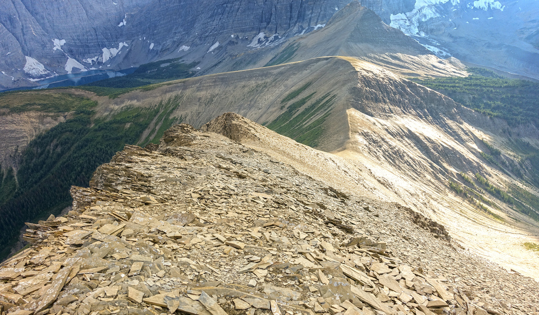 Scramble Ridge Scramble Ridge Looking back at scramble route from Numa Pass Ridge from just below lower summit. Intervening dip just right of center with ~90m vertical loss that must be reascended on return
 |
|||
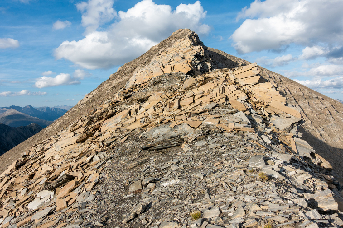 Lower Numa Ridge Lower Numa Ridge Final part of ridge leading to lower summit of Numa peak. Mostly hiking with 1 or 2 easy scrambling moves
 |
|||
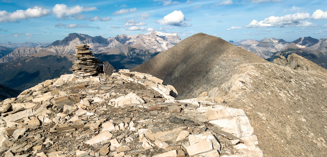 Lower Numa Summit Lower Numa Summit Lower summit of Numa Peak with connecting ridge to true summit behind - hands in your pocket, except brief moderately exposed step directly below the cairn (class 2)
 |
|||
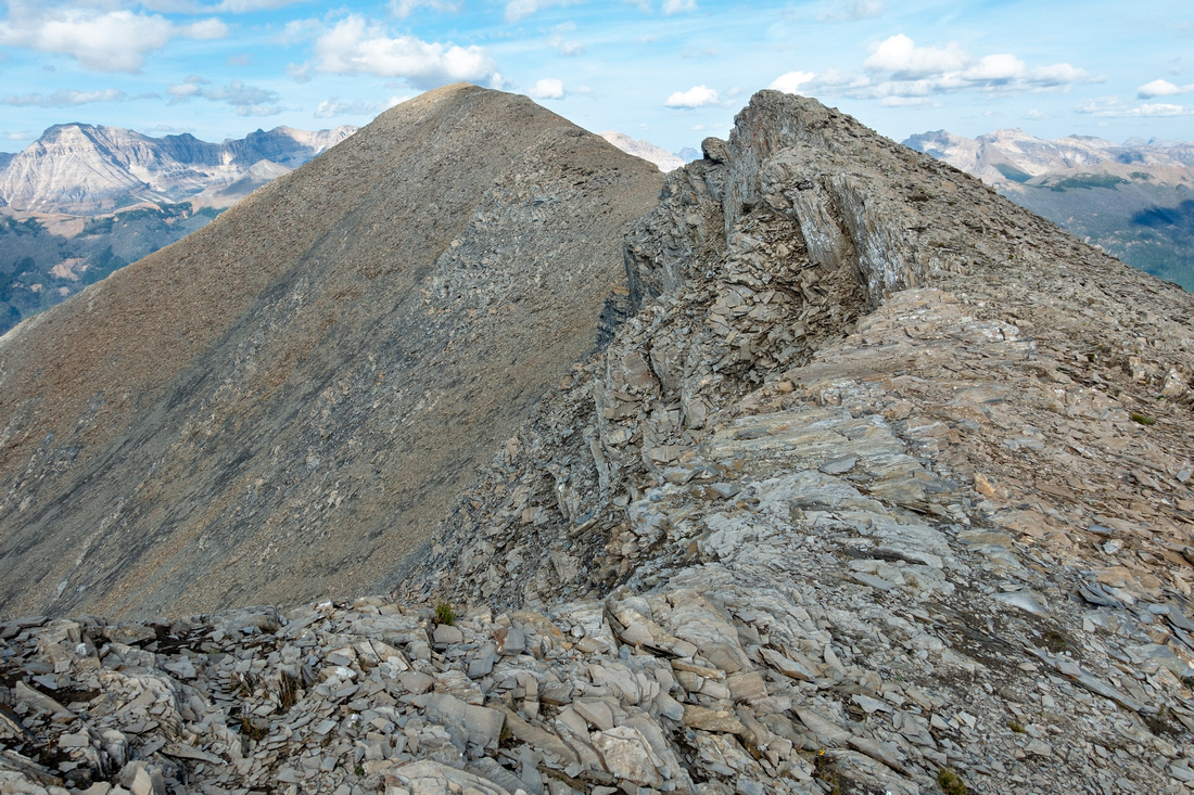 Numa Ridge Numa Ridge Delightful hiking for ~15min on Numa Peak Ridge between lower and true summits
 |
|||
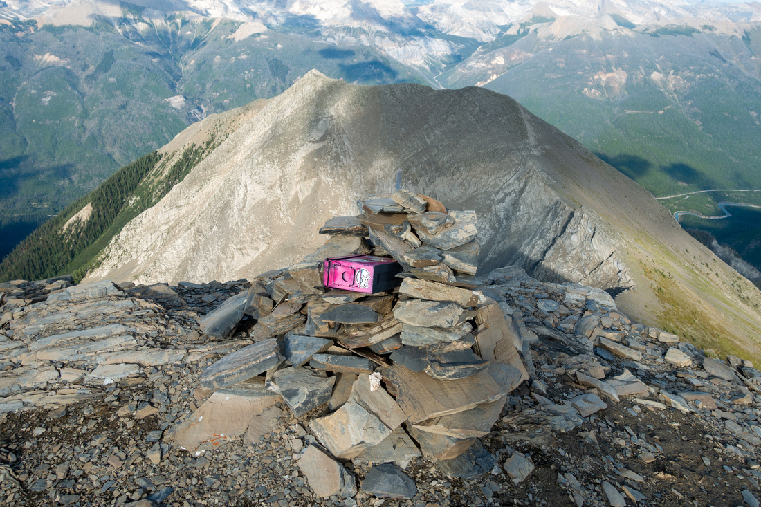 Numa Peak Numa Peak Summit Cairn and Register at 2730m Numa Peak, ~7hrs after leaving Floe Lake Trailhead
 |
|||
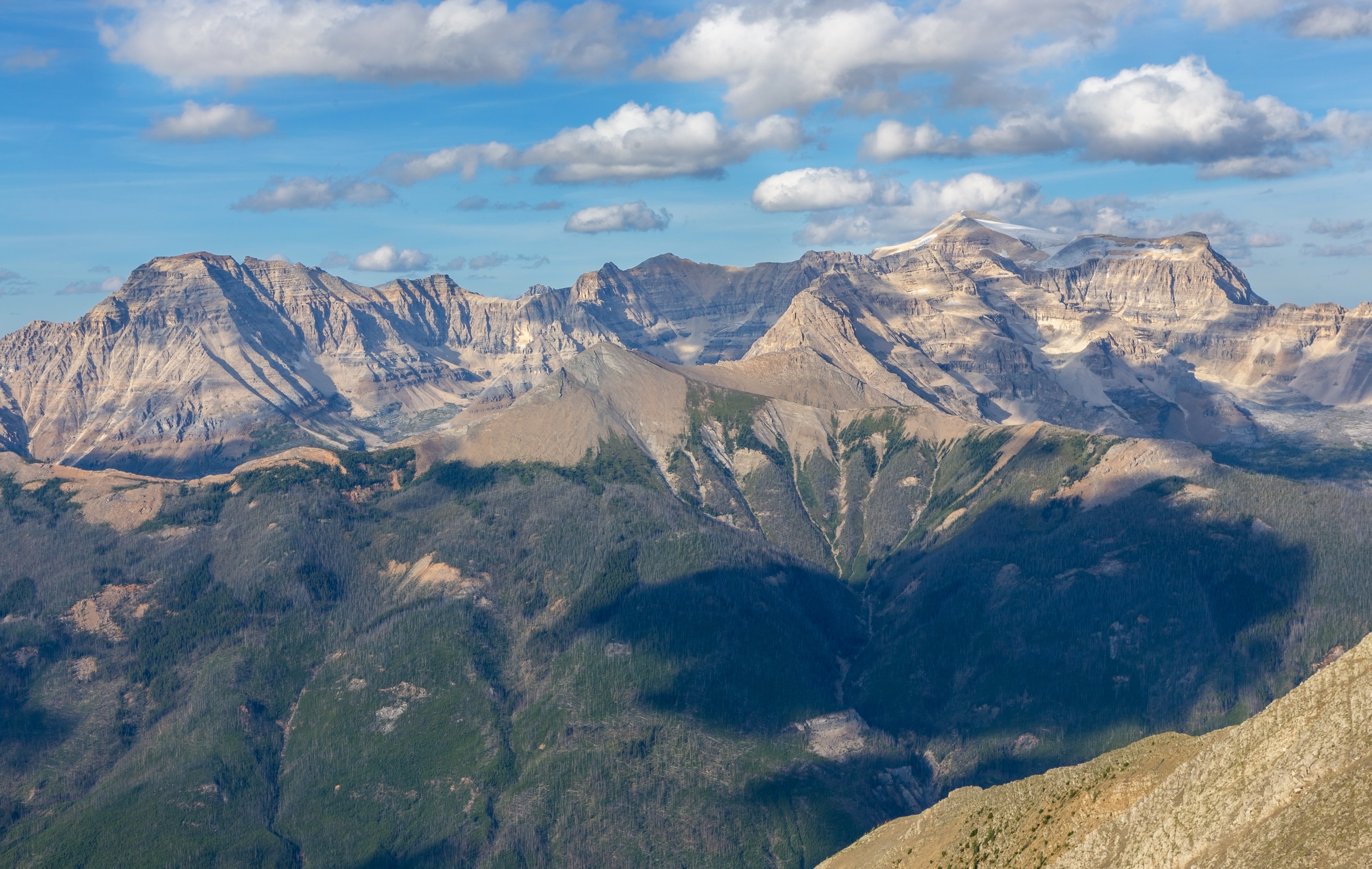
 Mt. Assiniboine Mt. Assiniboine Mt. Assiniboine is the most eye catching peak to the south; Vermilion Crossing below
 |
|||
|
|||
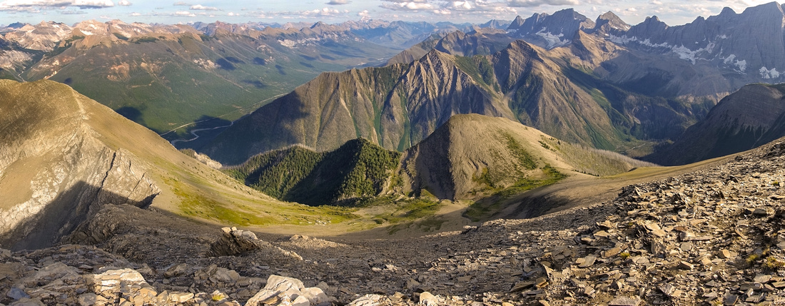 South Descent South Descent Top of alternate "shortcut" route that connects with Floe Trail ~km 6 - steep, awkward and entirely not worth. It is far better to return the same way to Numa Pass, then hike out via Rockwall Trail
 |
|||
Abstract
| Overall Difficulty | D6 | Significant overall distance and elevation gain if done as day hike from Hwy93. Moderately steep talus slopes with couple of easy class 2 scrambling moves and light exposure | |||
| Snow Factor | S3 | Not likely candidate for winter ascent due to overall logistics, but could be done on skis/snowshoes if willing to to camp at Floe Lake. Steep-ish lower summit slope moderate avalanche danger. | |||
| Scenery | Scenic approach Valley with summer wildflowers. Fantastic Floe Lake basin. Numa Pass alpine full of larches. Aerial view of many Kootenay NP peaks from the summit. | ||||
| Trail/Marking | Excellent/None | Official Parks Maintained Rockwall Trail to Floe Lake / Numa Pass. Off trail route with occasional cairns for Numa Peak | |||
| Suggested Time | 12 hrs | Fast pace from Hwy93 OnB via Rockwall Trail. 5-6hrs return from Floe Lake camp with light pack | |||
| Elevation | Start: 1350m Max: 2730m Total: ~1600m (Hwy93) | Round Trip: ~31km (Hwy93) | |||
| Gear | Full Hiking boots mandatory. Poles super helpful. Overnight gear if camping by Floe Lake. Headlamp a must for day trip | ||||
| Water | Several side creeks to Floe Lake, none after. Carry 1-2L | ||||
| Dog Friendly | Yes | Dogs must be kept on leash on Rockwall Trail | |||
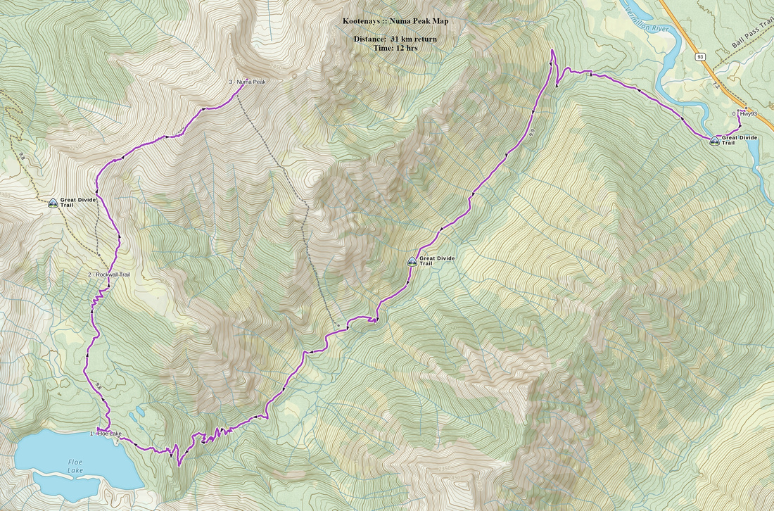 Numa Peak GAIA Map
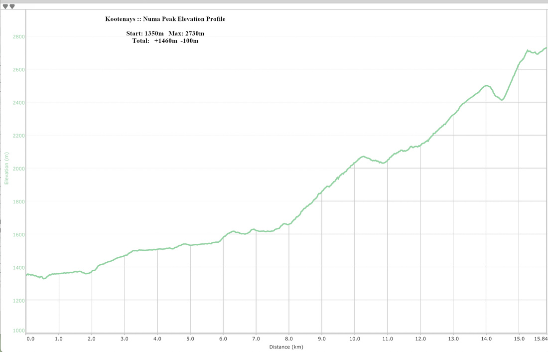 Numa Peak Elevation Profile
