Google Map |
Rockies :: Kananaskis :: Raspberry Ridge |
GPS Track |
 
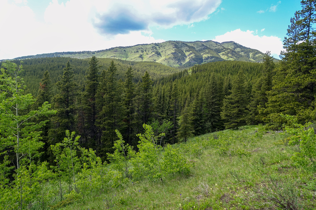
Raspberry Ridge Crest looking north towards Fire Lookout, just right of upper center |
|||
| Trip Summary | |||
Jun 25, 2024Grassy Ridge on west side of Hwy940, ~11km south of Highway Junction winter gate. Hwy940 remains open to Cataract Creek so hike is feasible year-round, although one must approach via Hwy541 from Coleman during Kananaskis Trail seasonal closure Dec 1 - Jun 15. Highest point features Fire Lookout structure moved from nearby Mt. Burke. Early/Mid summer is recommended time because of wildflowers profusion on open ridge and grassy hillsides. Several options exist, all documented in ubiquitous K-country Trail Guidebook. I recommend CCW loop by ascending Direct branch while longer but very picturesque South hillside works better for return; this is how Gallery photos are organized.
Parking area is not signed and despite being fairly obvious some people apparently have problems finding it; use GPS Track (Waypoint "0 - Road Gate"), download Top of Page. Raspberry trail forks off almost immediately to the right - see first photo in Gallery. From there it's about an hour of undemanding hiking on overgrown Fireroad to junction, marked by Cairn (Waypoint "1, 7 - Direct Route"), see Gallery. Go right and ascend to ridge crest in another 40-45minutes on moderately steep but never too demanding or eroded trail. Past the notch Direct trail joins South Ridge variation and continues to Fire Lookout building with all kinds of neat things to explore. Most hikers seem to return right away, but I recommend at least continuing another 10-15min to North Ridge Outlier for even better views; there is no trail, but going is obvious. Recommended return via South side is very scenic and just beautiful hiking throughout. Be alert for bears in season; on my trip in late Jun '24 I saw several fresh scats that were not there several hours earlier; make noise and keep control of the dogs if you brought them along. |
|
Gallery |
|||
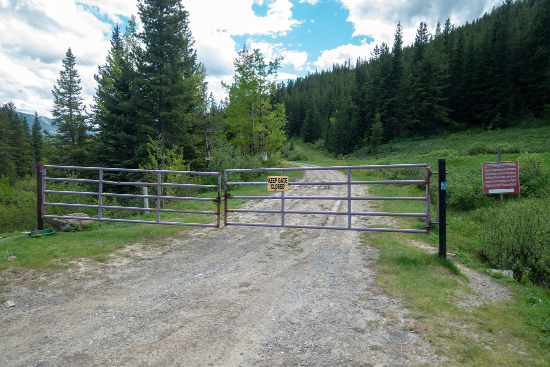 Trailhead Gate Trailhead Gate Cataract Creek Fireroad at unsigned pullout on west side of Hwy940. Raspberry Trail forks off right at road curve behind the gate
 |
|||
|
|
|||
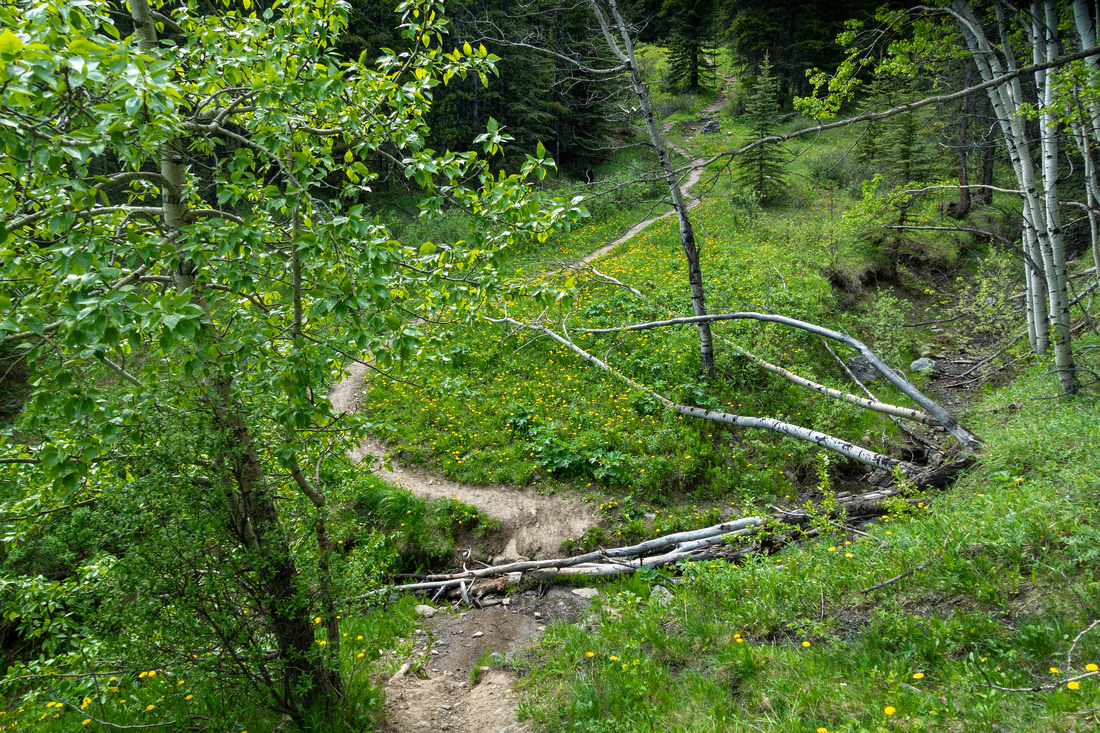 Creek Crossing Creek Crossing Seasonal Creek crossing ~20min in; water source early in the season
 |
|||
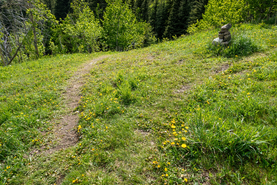 Direct Route Junction Direct Route Junction Direct Route junction ~1hr in (3.27km according to GPS); go right by the cairn. If you descend via longer south ridge this is where loop is closed
 |
|||
 Direct Route Junction Direct Route Junction Another view of Direct/Easy Junction, looking back
 |
|||
|
|
|||
 Steep Incline Steep Incline Moderately steep but never difficult or eroded Direct line ascending upper grassy slopes
 |
|||
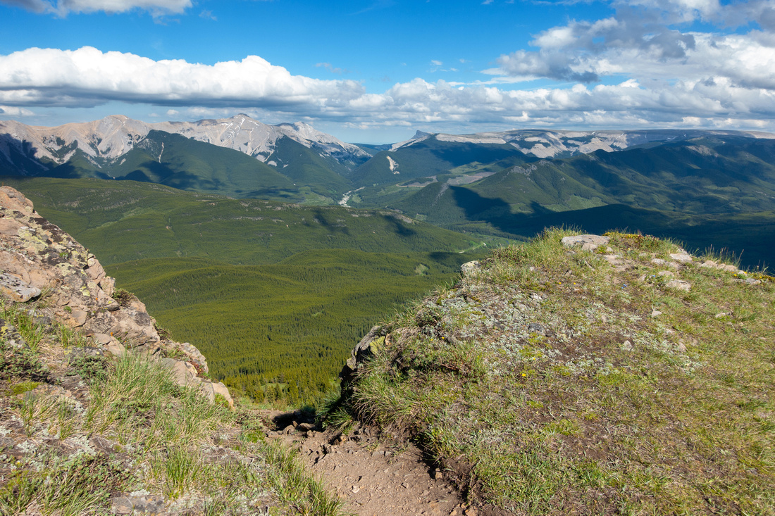 Raspberry Notch Raspberry Notch Direct Line topping up by low notch. This part can be icy in shoulder season and require traction.
 |
|||
 RaspberryFlix RaspberryFlix Remnants of old TV on picnic bench just below Fire lookout, featured on many online reports, as nobody seems willing to take it down
 |
|||
 Raspberry Helipad Raspberry Helipad Helipad next to Fire Lookout structure; great spot for a break
 |
|||
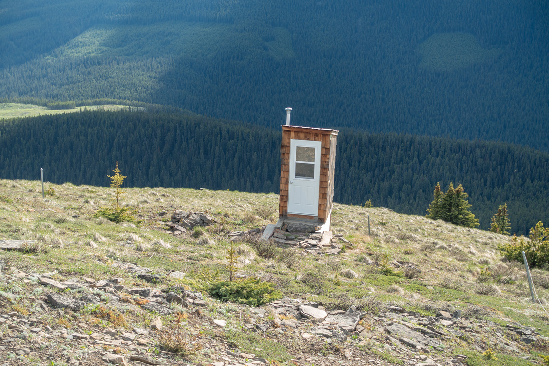 Raspeberry Biffy Raspeberry Biffy Outhouse on west side some 20m below the Lookout structure
 |
|||
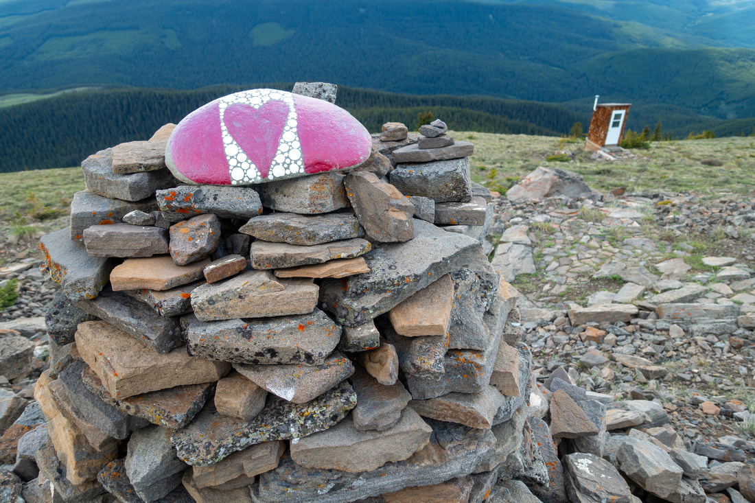 Canada Day Canada Day Painted Rock by Fire Lookout - Canada Day must be around the corner
 |
|||
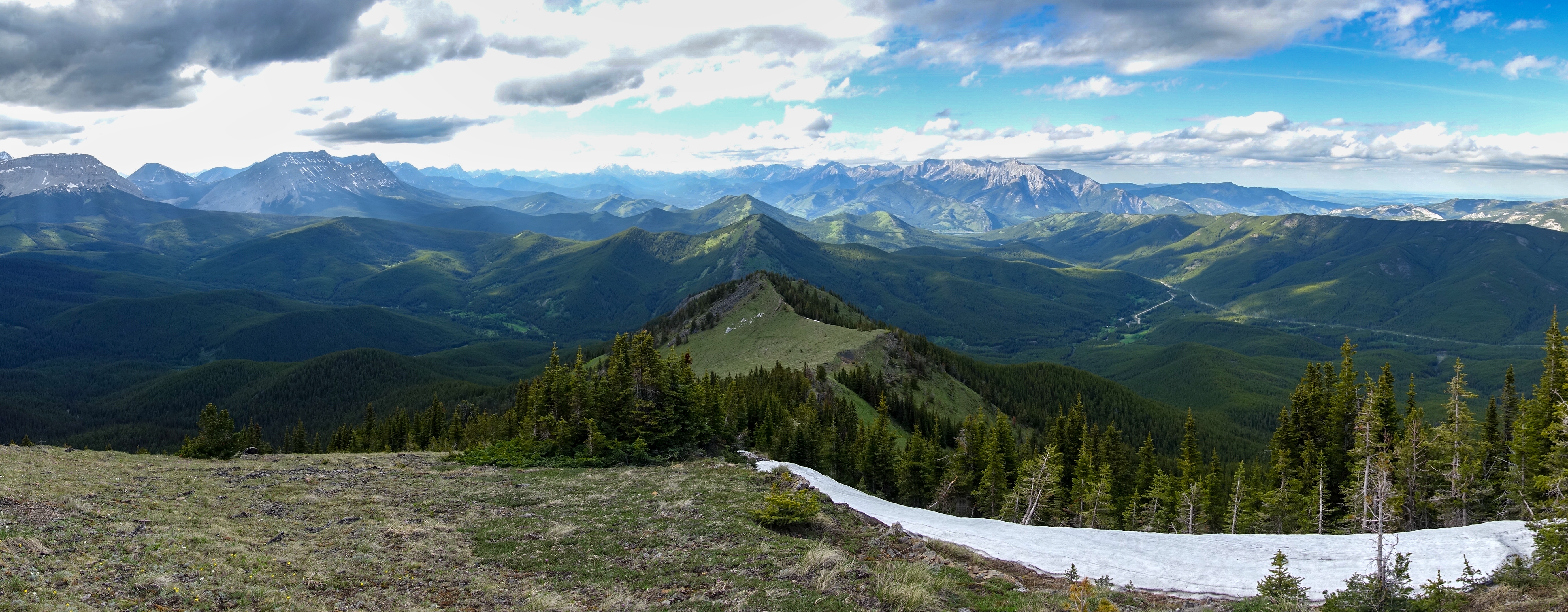
 North Ridge North Ridge Very inviting ridge north of Fire Lookout leading to prominent outlier 10-15min away is excellent extension
 |
|||
 |
|||
 North Outlier North Outlier Hike from North Outlier back to Fire Lookout is very enjoyable, but short
 |
|||
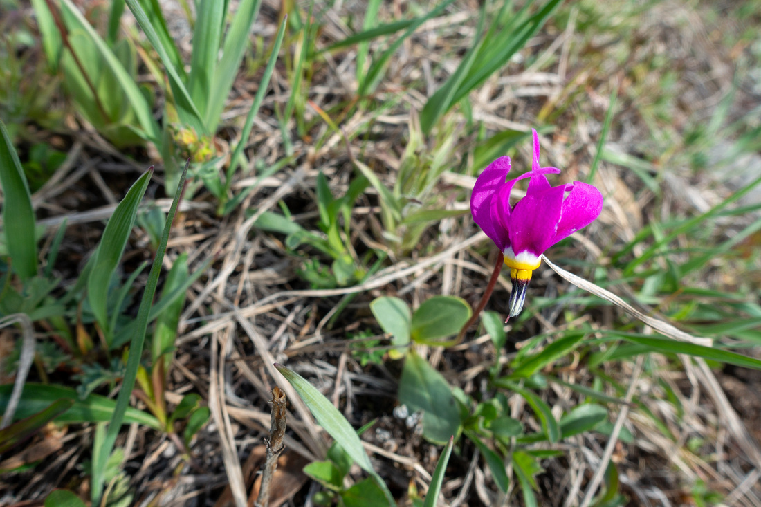 Calypso Orchid Calypso Orchid Abundance of Wildflowers in early Summer is one of reasons why this is best time for Raspberry Hike
 |
|||
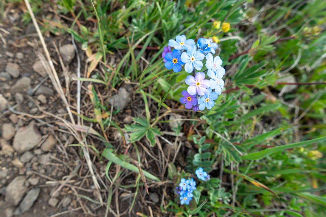 Forgetmenot Forgetmenot  Abundance of Wildflowers in early Summer is one of reasons why this is best time for Raspberry Hike
 |
|||
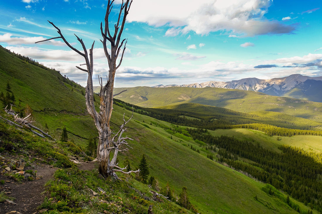 Dead Tree Landmark Dead Tree Landmark Beautiful grassy hillside hiking after rounding Raspberry South End on loop return
 |
Abstract
| Overall Difficulty | D3 | Mostly easy/moderate hiking with Moderately steep ascent slope on Direct Ridge route | |||
| Snow Factor | S3 | Ridge crest windblown most of the winter. Direct route could pose avalanche danger in right conditions. Icy parts in shoulder season | |||
| Scenery | Aesthetic Grassy Ridge, Aspen Forests and Meadows. Cataract Creek Front Range peaks incl. Mt. Burke and Plateau Mountain. Fording River Pass area to the North. | ||||
| Trail/Marking | Good / None | Unofficial but well defined trail. Junctions not marked. Occasional cairns | |||
| Suggested Time | 4-5 hrs | Incl. North Outlier extension and south ridge loop return. Less for Direct Route OnB | |||
| Elevation | Start: 1720m Max: 2365m Total: ~760m | Round Trip: 12km | |||
| Gear | Full hiking boots much preferred for ankle support. Poles recommended. Micro-spikes in shoulder season | ||||
| Water | Seasonal creeks on initial approach, none after. Carry 1-2L, depending on season | ||||
| Dog Friendly | Yes | Area frequented by bears. Standard back-country precautions. Popular trail on sunny weekends - keep dog on leash | |||
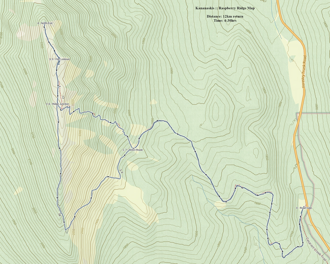 Raspberry Ridge GAIA Map
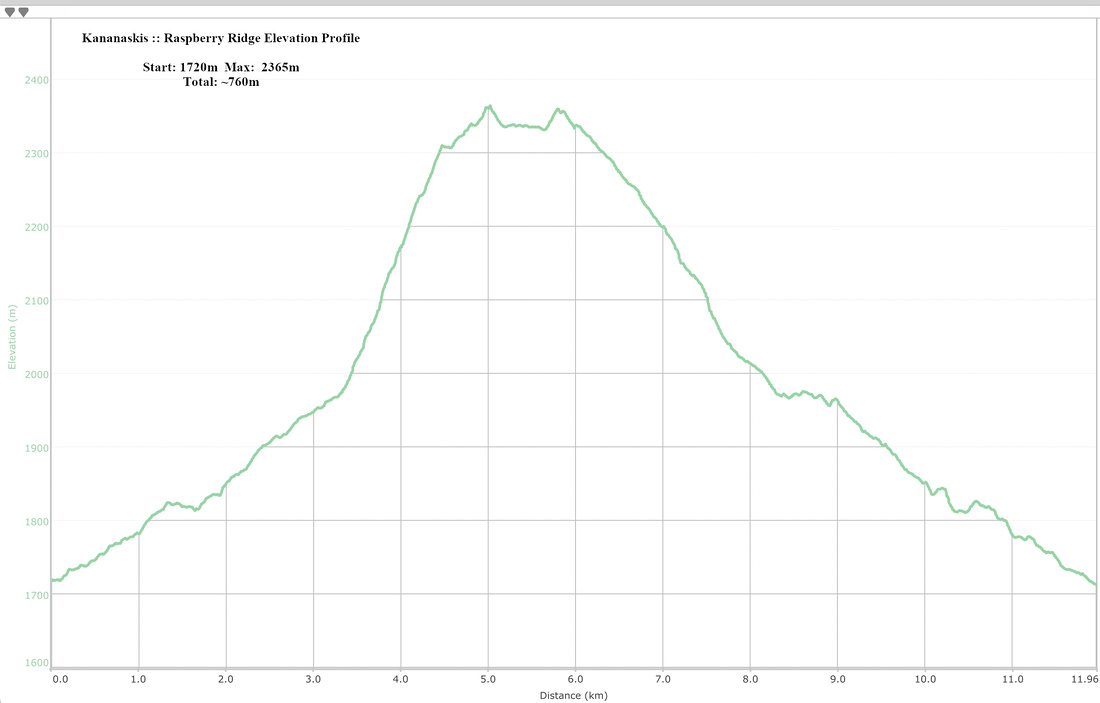 Raspberry Ridge Elevation Profile
