Google Map |
Rockies :: Icefields :: Alice Lake |
GPS Track |
 
Panoramic view of Alice lake near the outlet. Boulder field at far end of the lake must be crossed to ascend "Alice ridge" (C) or Bobac Peak (L) |
|||
| Trip Summary | |||
July 18, 2015Alice lake situated in rocky basin between Bobac and Watermelon peaks is rarely visited destination. Initial part of the approach is super-popular hike to Helen Lake, while sporadic traffic past Katherine lake basin is destined for remote back-country campground at Isabella lake. It is possible to day-hike to Alice lake, but overnight visit is better option. There is no official campground at the lake, but several flat spots can be found at far end of the lake beneath huge boulder field coming down from Bobac peak. Much room for further exploration exists; this is prime reason why overnight visit is preferred. Scenery is stellar throughout and includes several sparkling lakes, expensive meadows full of flowers in July as well as many distant Rockies peaks. Park at Helen lake trailhead, opposite of Crowfoot glacier viewpoint on Icefields parkway (1km south of Bow Lake). Parking lot is large, but it often fills on sunny summer weekends, so early start is recommended! Follow well defined trail to Helen lake for ~6km (about an 1hr 15min). This trail curves around south end of "Crystal ridge" (excellent winter snowshoe), then travels mostly level towards the lake. Views of Dolomite peak in this part are excellent! From Helen lake trail switchbacks to unofficially named "Helen Lake summit". Scramblers destined for Cirque peak turn left here, while trail drops over 100m vertical to Katherine lake. You will lose all the crowds here; solitude for rest of the journey is -almost- guaranteed. This valley hosts large marmot population - their whistles can be heard as you make your way towards Dolomite Pass. Beware of grizzly bears - large diggings can often be seen. From the pass trail loses another ~100 vertical to Dolomite creek valley. It is necessary to cross to the right side, but this is usually just a rock-hop with your boots on. Access to Alice basin is where Dolomite creek has braided across the valley; instead of crossing back to left side, angle right up grassy slopes towards the creek draining Alice lake. There is no trail here, but couple of cairns point the direction. Final bit is gentle ascent on grass and bits of rock; stay on right side of the creek. If camping or going further, circumvent the lake on the left (north) side. You might have to climb small rise, then descend on scree back to lake shore. From the far end 3 options exist. For Bobac peak make your way to left side of obvious boulder slope and climb up. Cornice on summit ridge often presents a problem if trying too early in the season. For Watermelon peak cross stay near center of the valley and cross to terminal moraine below Watermelon glacier to the right (south). This glacier must be ascended; there are crevasses, and this is key reason why this is mountaineering and not scrambling anymore. Finally, easiest option where success is almost guaranteed is to ascend "Alice ridge" -- low point of ridge between Bobac and Watermelon peaks. Except for tedious boulder/talus travel, this ascent is entirely non-technical. Views from the ridge are spectacular and include unnamed tarns below Bobac, Pipestone and Clearwater Passes and Devon Lakes valley. |
|
Gallery |
|||
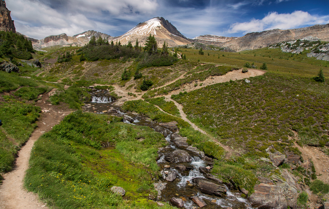  Creek crossing along Helen lake trail
 |
|||
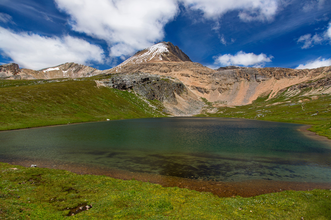  Classic shot of Helen lake with Cirque peak in the background
 |
|||
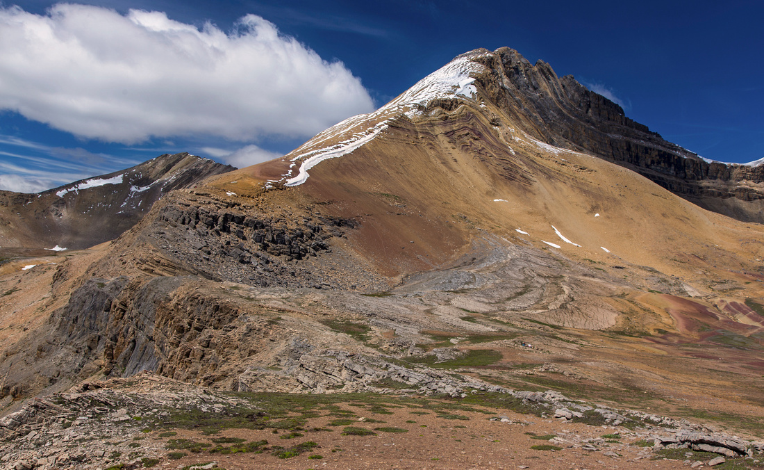  Cirque Peak from Helen Lake Summit
 |
|||
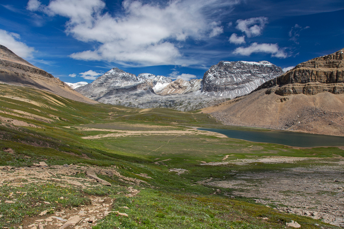  Katherine Lake and Dolomite Pass
 |
|||
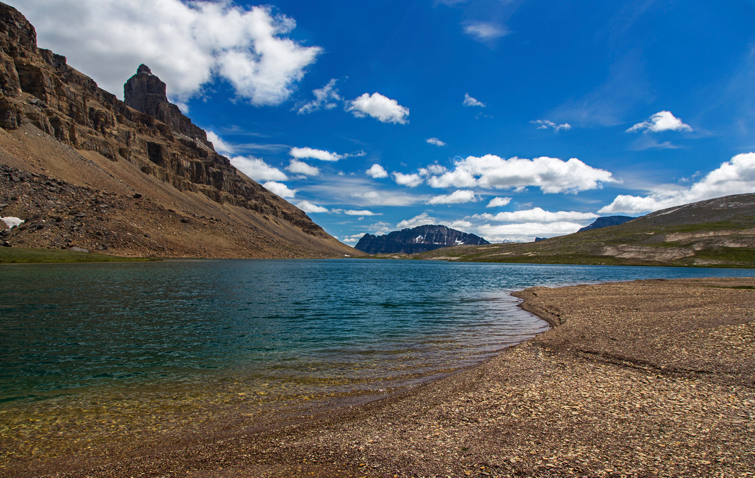  Hiking around Katherine Lake with view of Dolomite Peak (L) and Bow Peak (C)
 |
|||
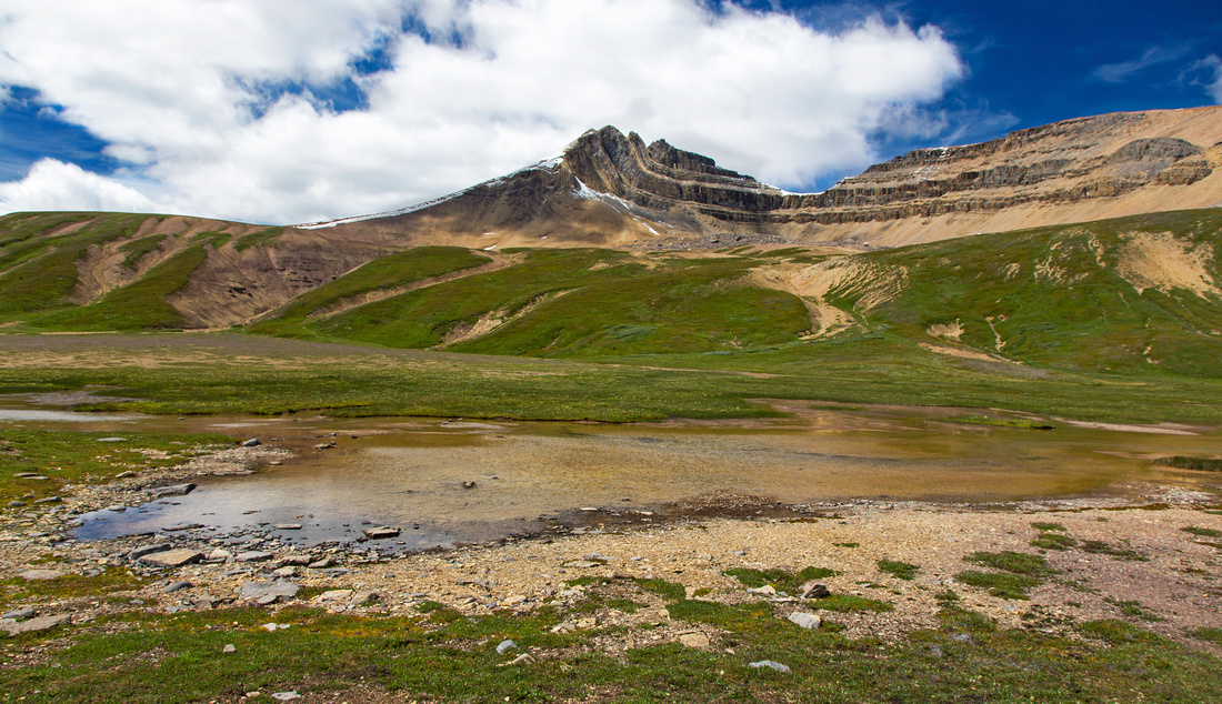  View back to Cirque Peak from Katherine basin
 |
|||
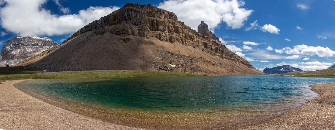  Panoramic view of beautiful Katherine Lake
 |
|||
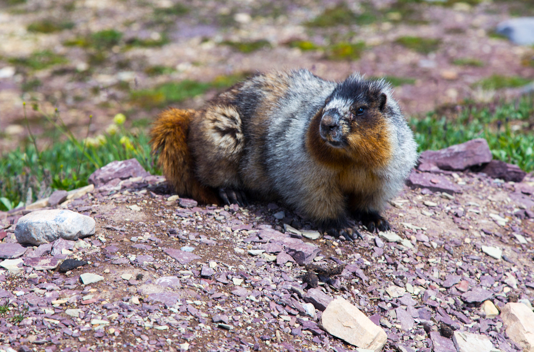  Plenty of marmots (and bear diggings) in the basin
 |
|||
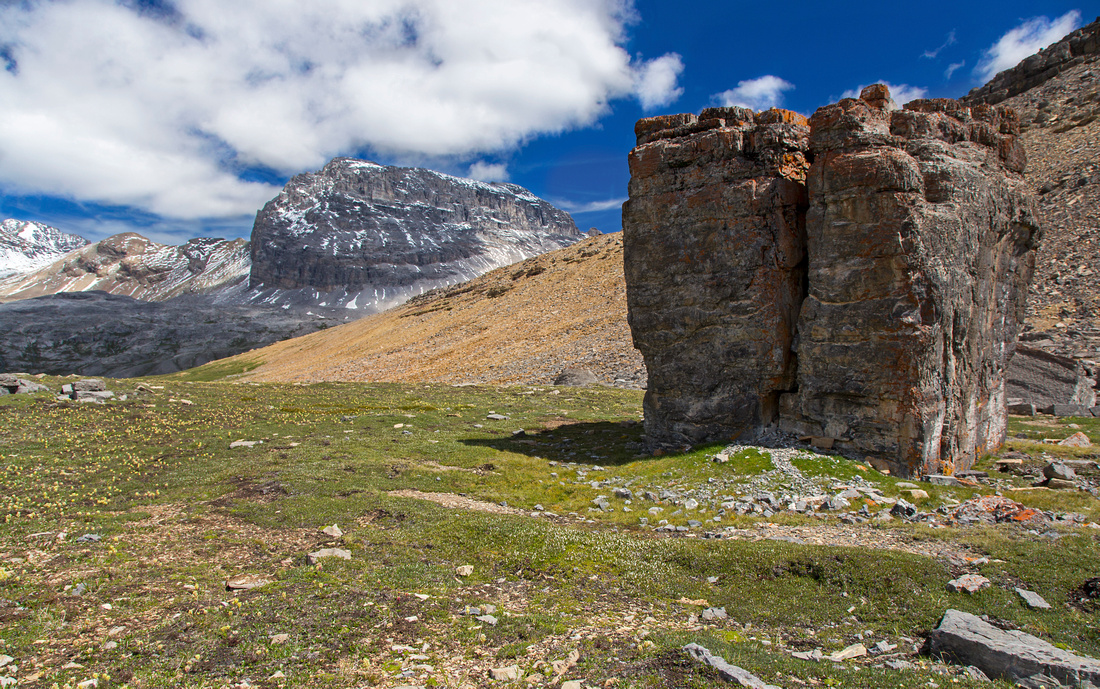  Huge boulder approaching Dolomite Pass
 |
|||
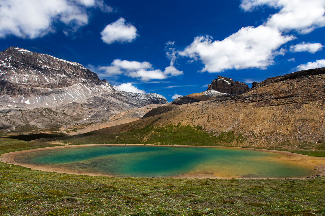  Lovely tarn in Katherine basin near Dolomite Pass
 |
|||
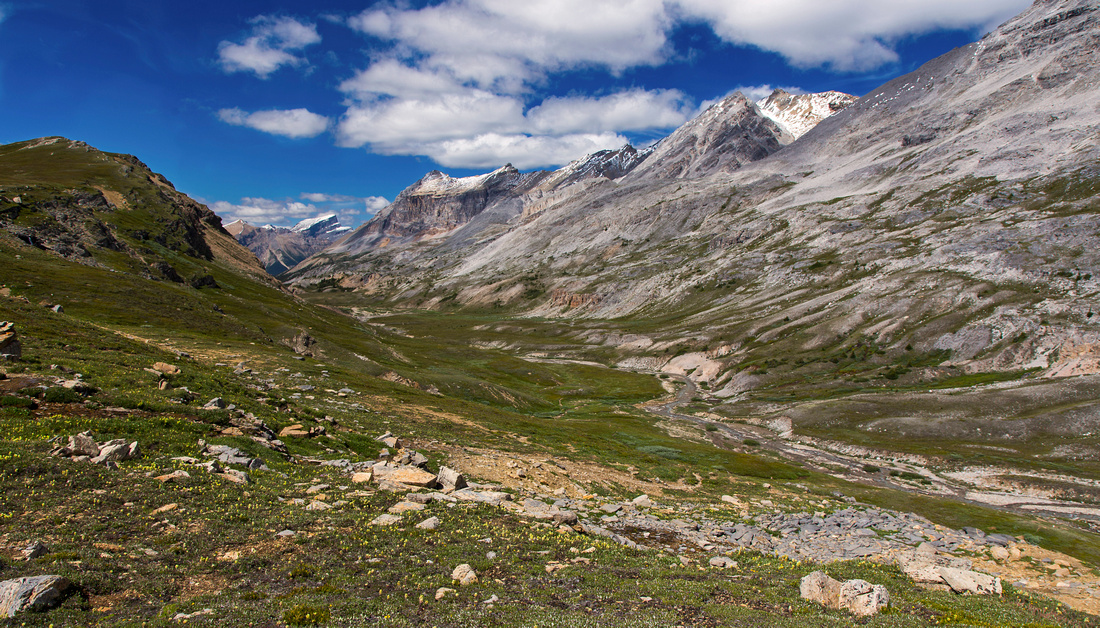  View north from from the Pass to Dolomite creek valley
 |
|||
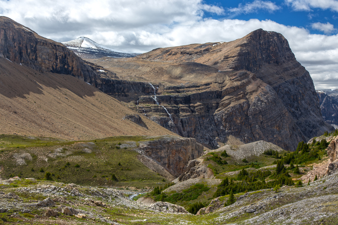  Views back from grassy slopes leading to Alice basin
 |
|||
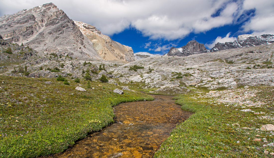  Glorious hiking up the creek leading to Alice lake
 |
|||
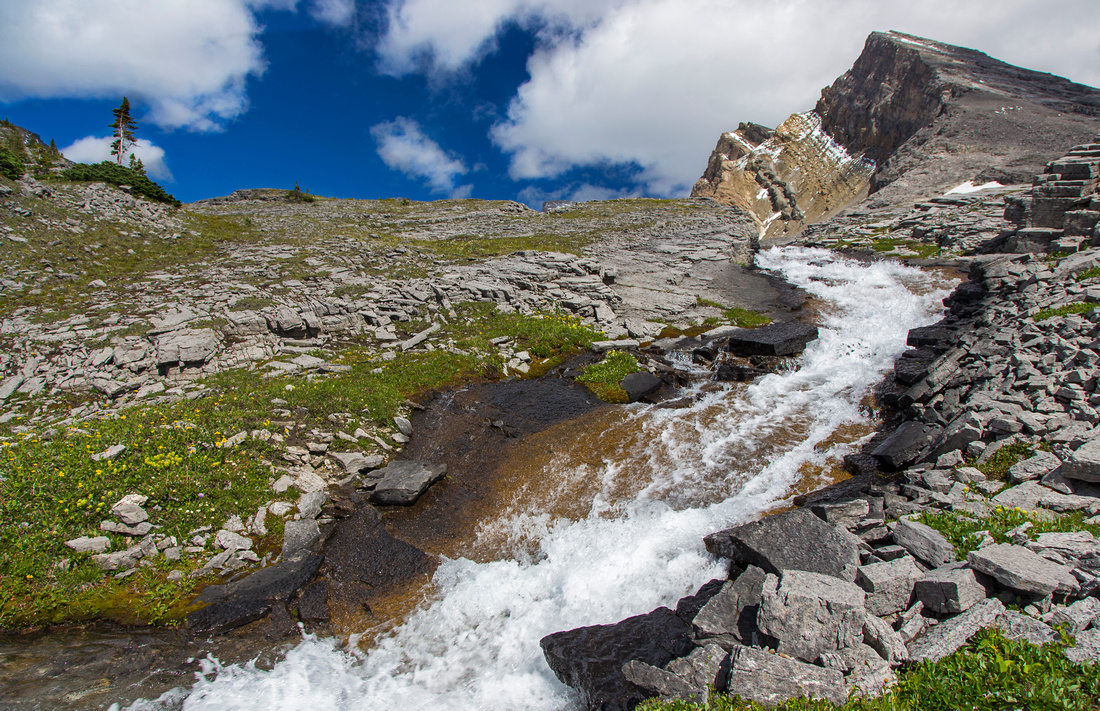  Another shot of Alice creek near the lake outlet
 |
|||
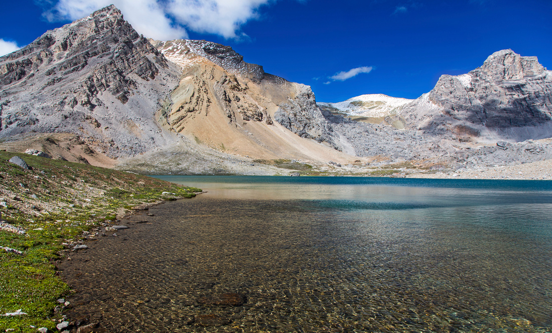  Rarely seen Alice lake; about 3.5 hrs from parking
 |
|||
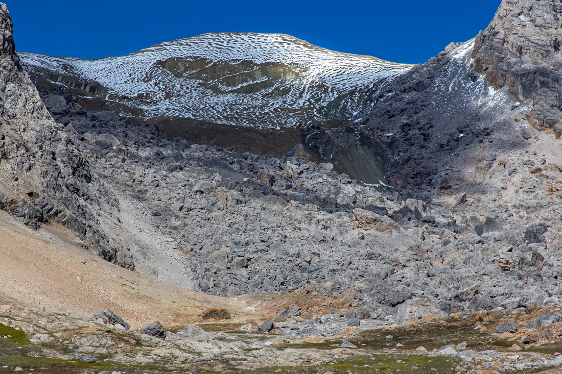  Zoom on boulder slope below "Alice ridge"
 |
|||
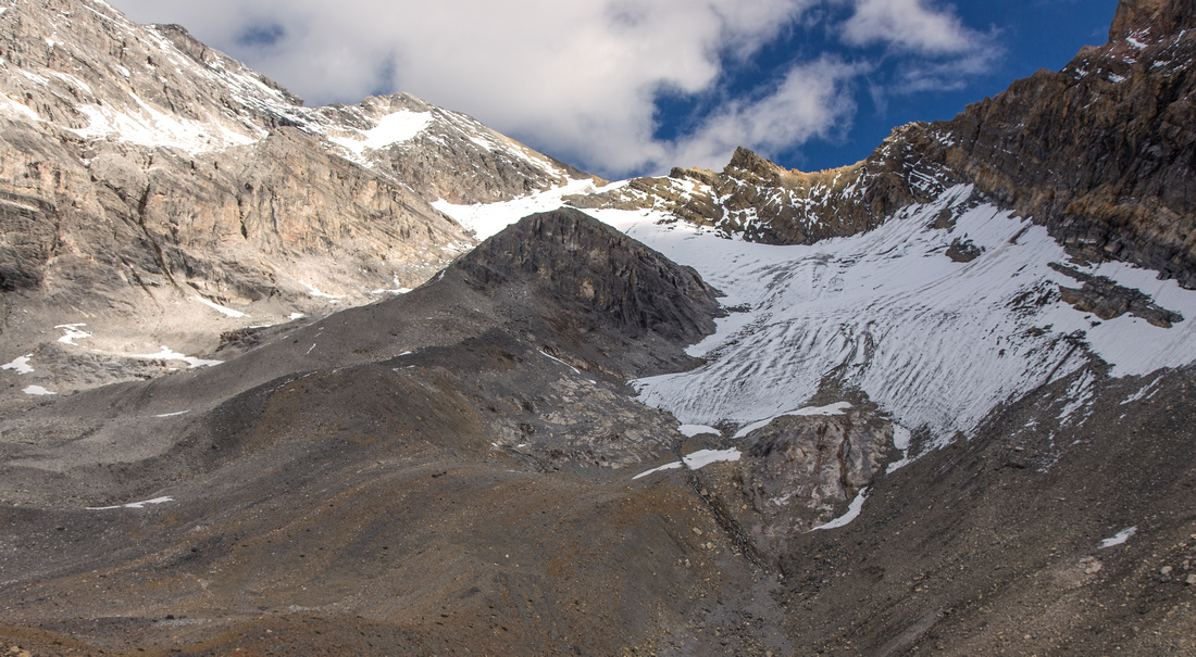  Ascent route to Watermelon peak follows this glacier
 |
|||
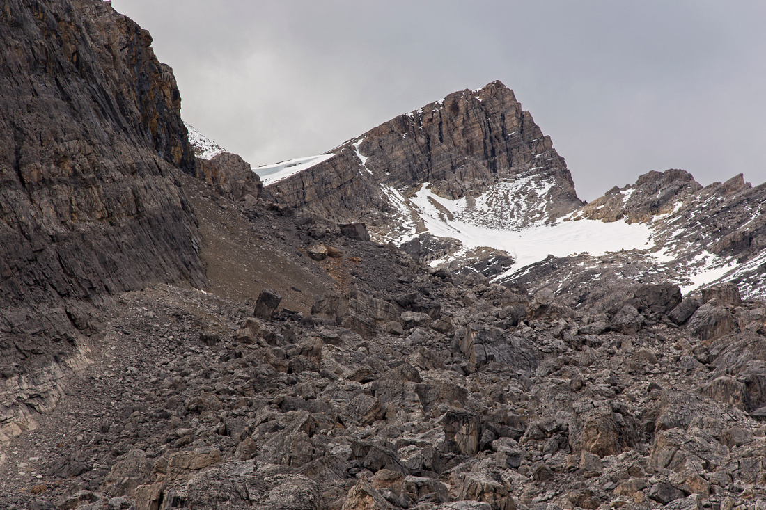  Huge boulder slope below Bobac peak; note the cornice
 |
|||
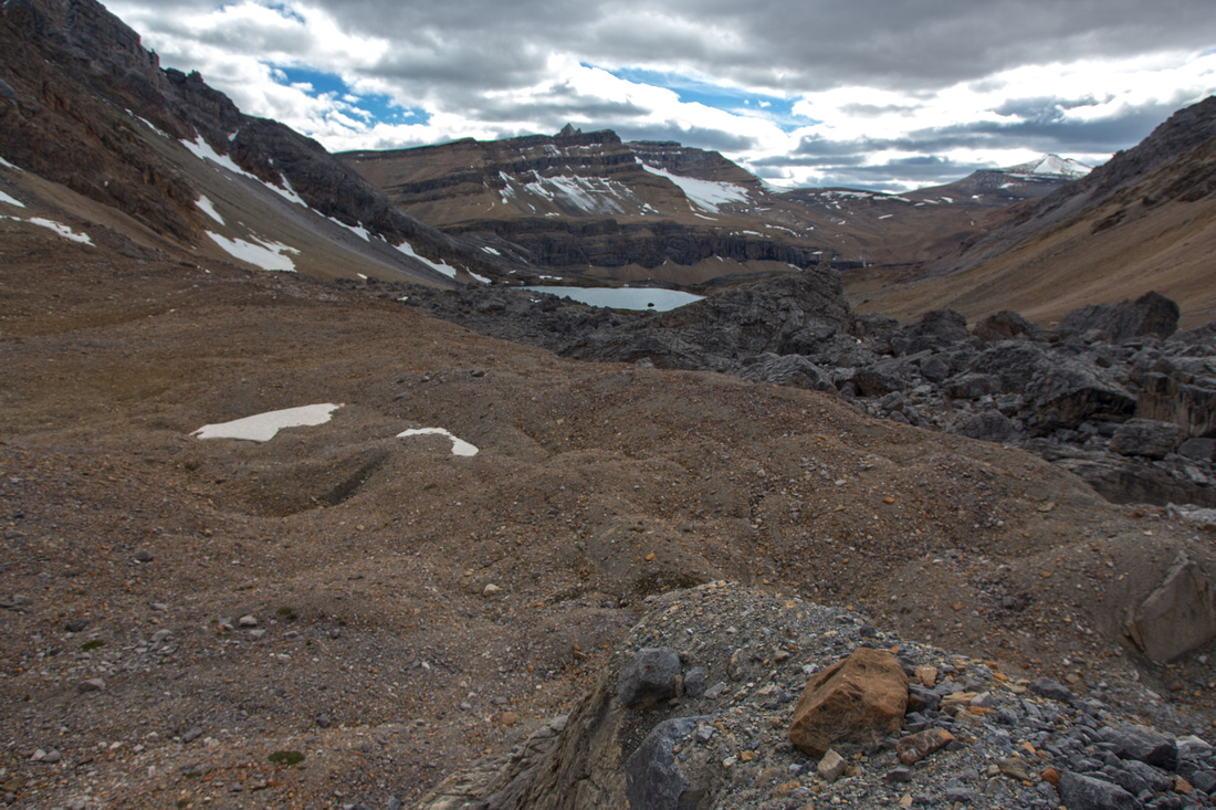  Alice basin from moraine below Watermelon glacier
 |
|||
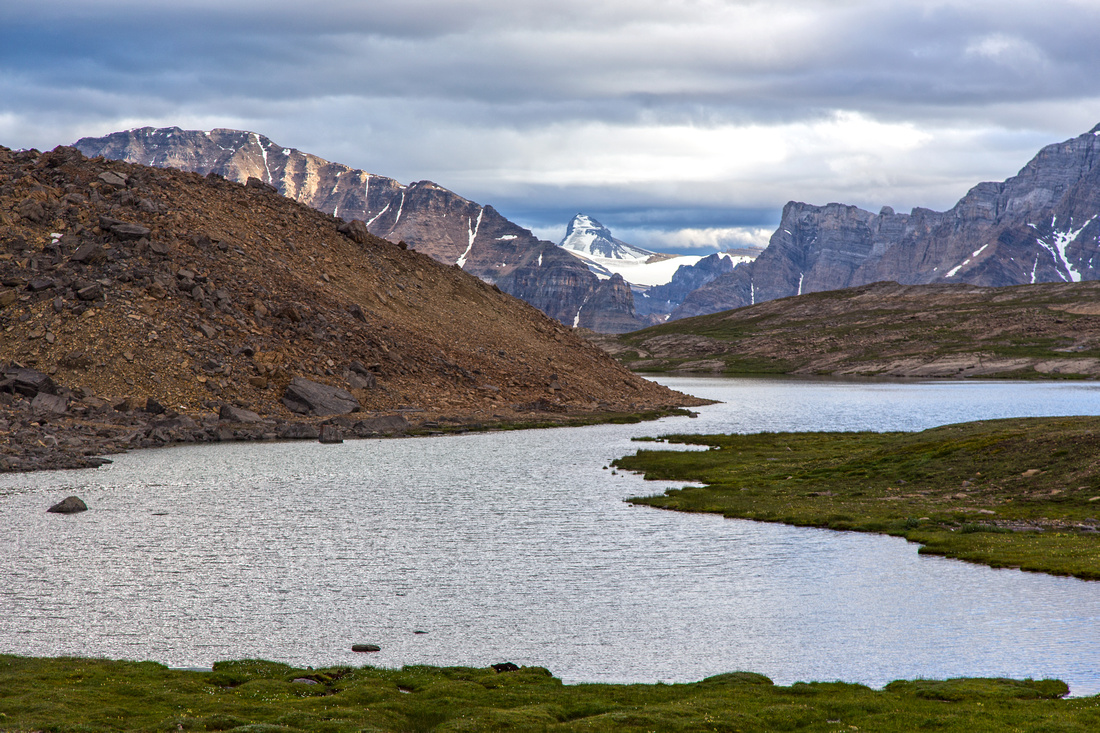  Katherine Lake and white fang of Mt. Daly on return
 |
Abstract
| Overall Difficulty | D3/4 | Trail hiking with gentle elevation gain/loss. Unbridged creek crossings (rock-hop). Total distance considerable if day-hiking. Continuing past Alice Lake is considerably more difficult. | |||
| Snow Factor | S3 | Part of Dolomite Circuit frequently done in winter on skis. Snowshoes for Alice Lake not feasible. | |||
| Scenery | Fantastic Rockies scenery throughout. Almost entire trip is above treeline. | ||||
| Trail/Marking | Very Good | Wide trail to Helen Lake summit, less defined past Katherine Lake / Dolomite Pass. No trail from Dolomite creek to Alice lake basin, but way is obvious. | |||
| Suggested Time | 7-8 hr | Return time for day hike to Alice Lake. One way with overnight backpack 4+ hours. Various options / durations for day trips from base at Alice lake | |||
| Elevation | Start: 1900m Max: 2530m Total: ~1000m (return) | Round Trip: 26km (Alice Lake) | |||
| Gear | Day hikers are sufficient. Poles will help for creek crossings. | ||||
| Water | Helen and Dolomite creek; outlet of Katherine, and Alice lakes. No need to carry more than 1L at any time. | ||||
| Dog Friendly | Yes | Prime griz-country; maintain control at all times | |||
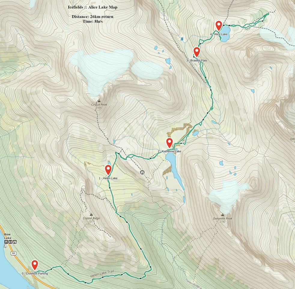 Alice Lake GAIA Map
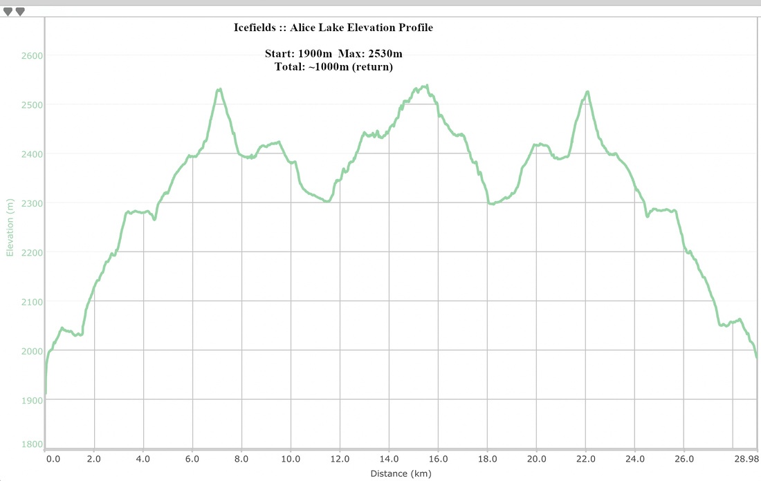 Alice Lake Elevation Profile