Google Map |
Rockies :: Canmore and Bow Valley ::Mt Lady MacDonald |
GPS Track |
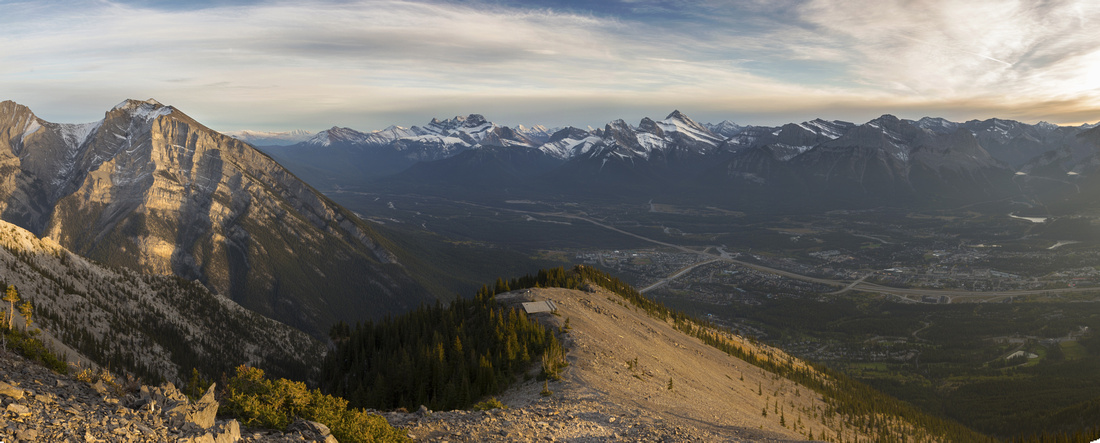 
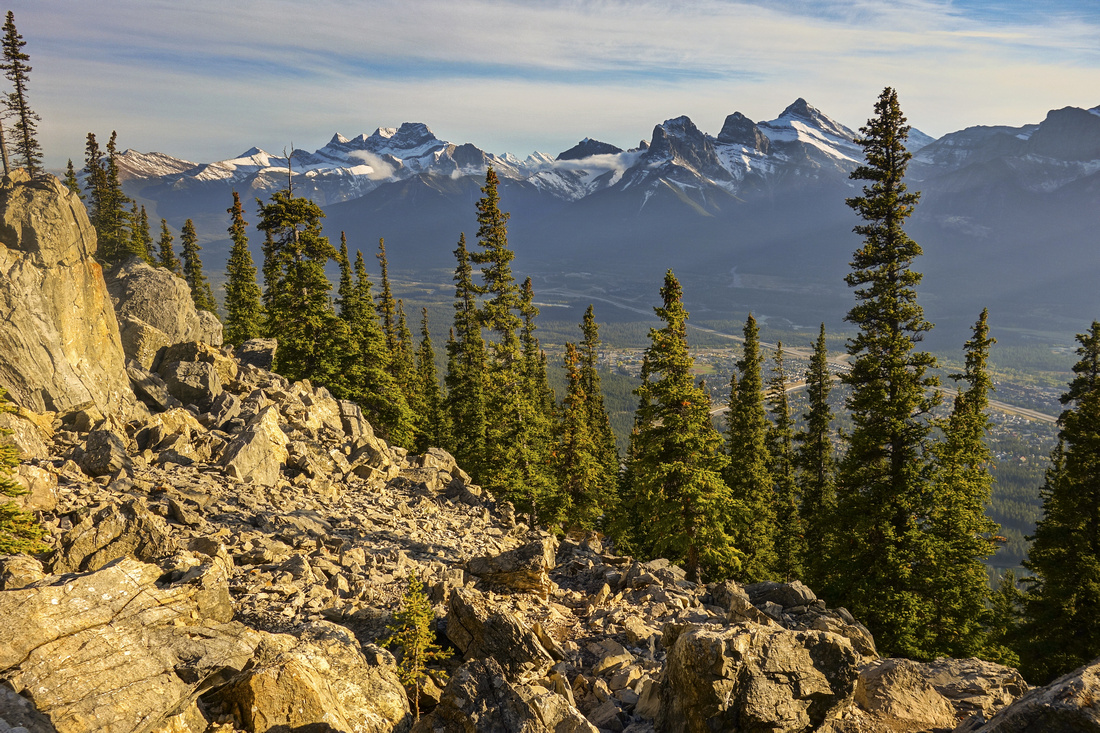
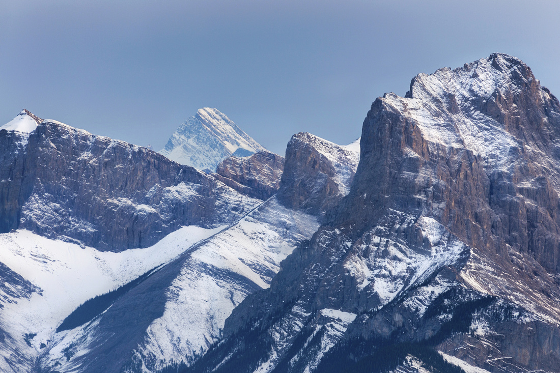
Panoramic view of Bow Valley and peaks south of Canmore from upper slopes. Grotto Mtn. to the left |
|||
| Trip Summary | |||
Multiple Dates, last May 14, 2023
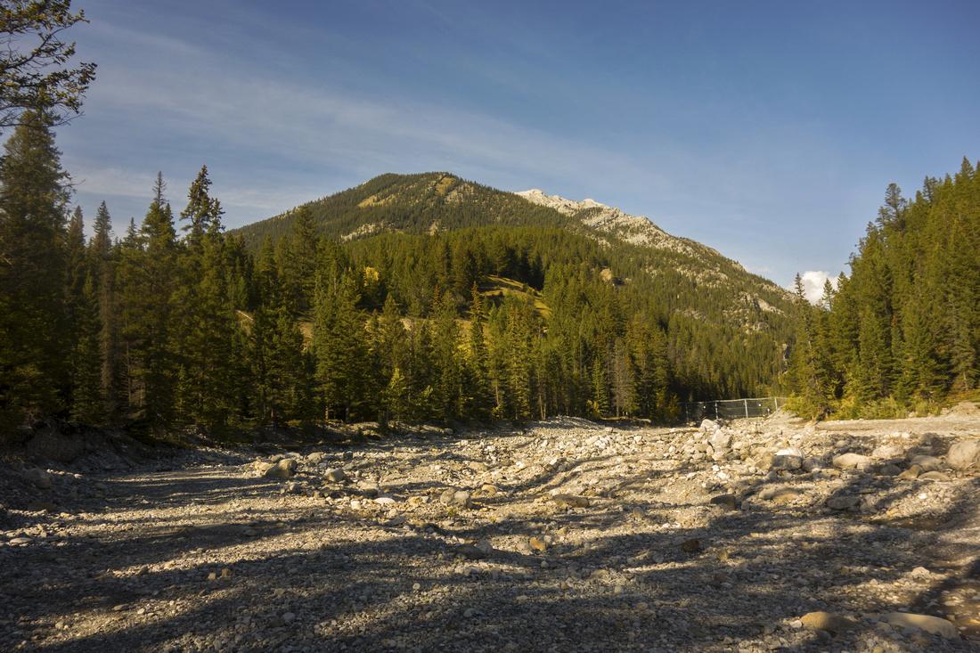
Lady Mac is probably most popular Canmore peak. Similar to Vancouver Grouse Grind, locals often hike here after work for exercise -- one can even sometimes spot from the town tiny light flashlight dots descending in the dark! Starting from parking lot at top of Benchlands Trail, approach follows Cougar Creek drainage for about 1km then starts relentless ascent - watch for marker just before the berm at mouth of Cougar Canyon. Most hikers ascend only to helipad ~250m below summit ridge. This location is site of failed teahouse project that was met with strong resistance by local community and eventually abandoned. It provides spectacular views of Bow Valley and is logical turnaround point for non-peakbaggers. Elevation gain to this point is ~1000m vertical and more than adequate exercise. Continuing above is scrambling territory and has been well documented in Alan Kane guidebook. If going for the summit, ignore beaten scree trails angling right above the helipad; instead ascend diagonally towards obvious skyline notch (cairns). Final part is very narrow ridge walk with unforgiving exposure on both sides. Views on the summit are not better so it is perfectly acceptable to stop here. Continuing past the summit across craggy ridge towards Buffalo Point (Charles Stewart SE) is not scrambling anymore, but it has been done. It is also feasible to ascend (or descend) directly to Silvertip Golf Course from the false summit where you first intercepted summit ridge. Most return the same way to Cougar Creek enjoying fantastic Bow Valley panoramic views along the way.
When I first ascended the peak in 2005 photography was not my interest, so Gallery does not have photos past the helipad. On all subsequent trips I turned back on small rise ~100m above. If hiking here for the first time, it is worth continuing straight up to the summit ridge, even if you don't plan on going to the summit -- northerly views into distant reaches of Fairholme range will be more than worth the effort.
Trail Update Fall 2022: Lady Mac access trail has been closed what seems indeterminately because of never-ending Cougar Creek construction since 2020. But peak is still hiked regularly by the locals who either bypass "forbidden zone" trashing up from Silvertip residential, or simply ignore closing signs. In november '22 I accessed from Montane trail and despite recent snow encountered mostly broken trail coming directly from construction site . On this occasion, mostly following goat prints in the snow, I discovered "ridge bypass" variation that allows for nice loop in upper part. At base of large open meadow some 10-15 min before the boulder field I trashed straight up the grass, then after intercepting SE ridge turned left and followed to the summit. It is better to stay on the ridge crest all the way instead of dropping below on east side. |
|
Gallery |
|||
 Lady Mac from Cougar creek approach. Marked trailhead is roughly center of the photo
 |
|||
 Cougar Peak from lower ascent slopes
 |
|||
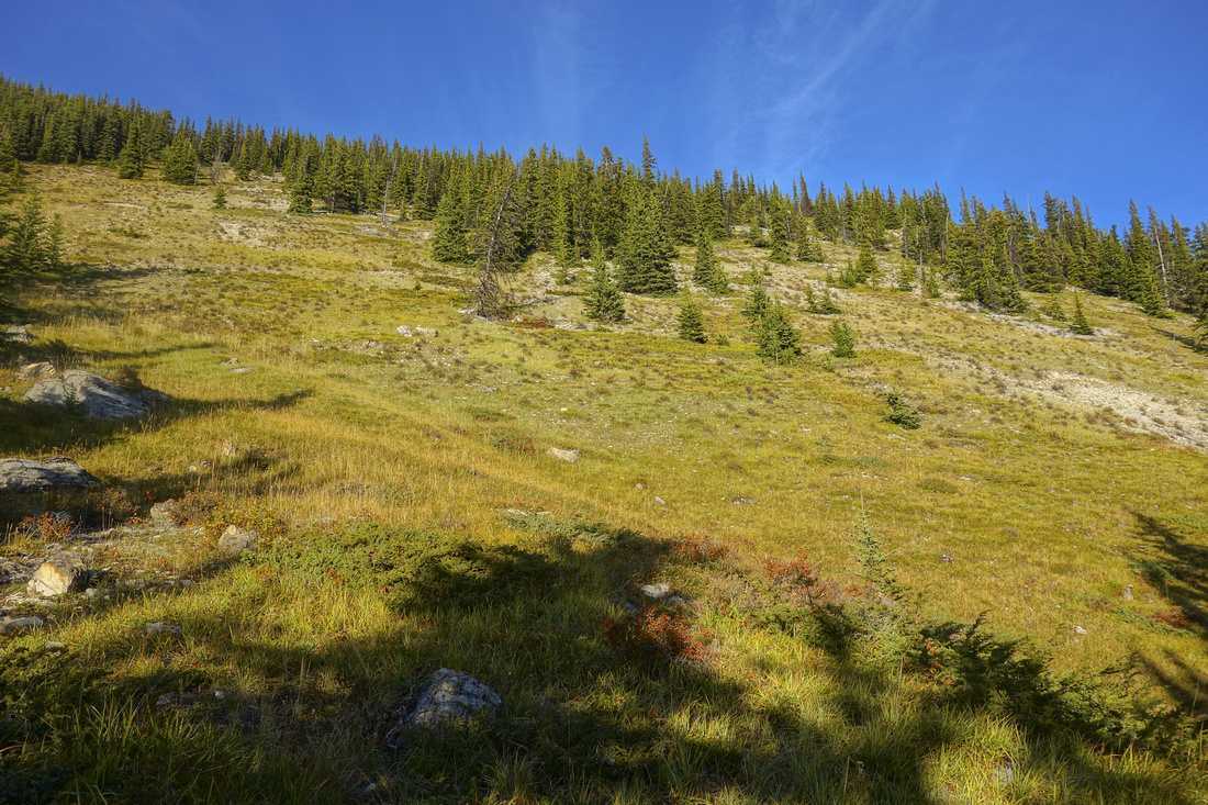 Grassy slope (seen from Canmore). It is possible to ascend by heading up off-trail here, then follow ridge to treeline
 |
|||
 Crossing the boulder field poses minor navigation problems
 |
|||
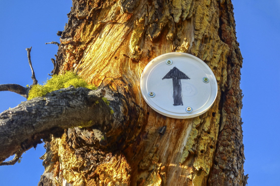 Tree marker near the end of boulder field
 |
|||
 Past the boulder field, looking back
 |
|||
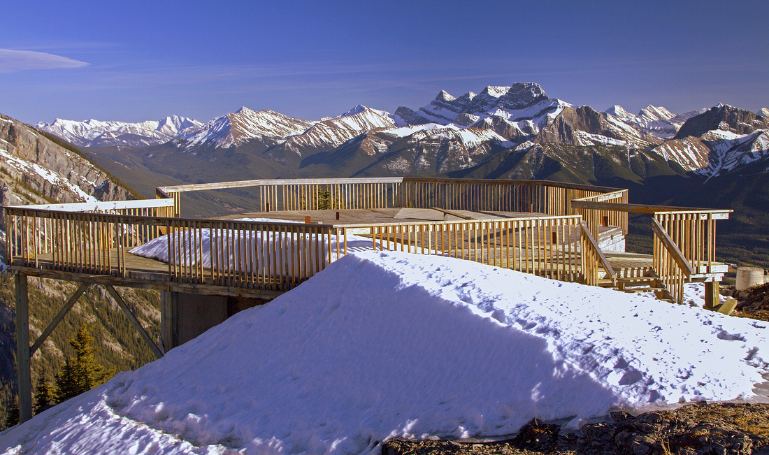
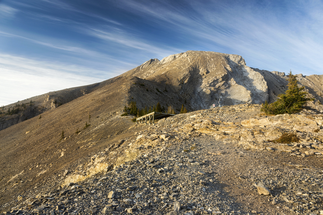 Nearing the site of old abandoned teahouse and helipad. Easiest way does NOT follow obvious trails on the right side to the summit ridge - instead, if heading for the summit ascend diagonally R-L owards the obvious skyline notch. This avoids awkward and lengthy traverse from right end of the ridge. (Crux is still unavoidable)
 |
|||
 Old Photo of unfinished teahouse structure that has been dismantled and does not exist anymore
 |
|||
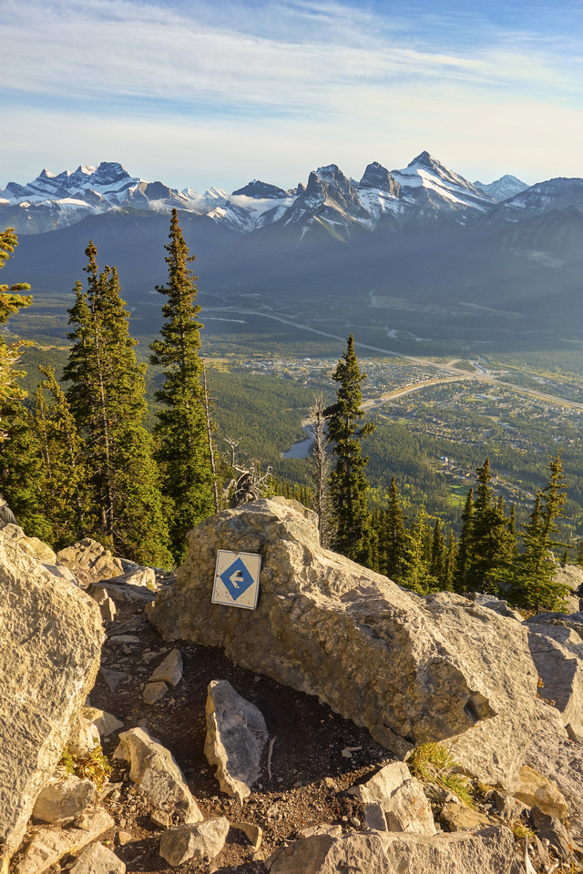
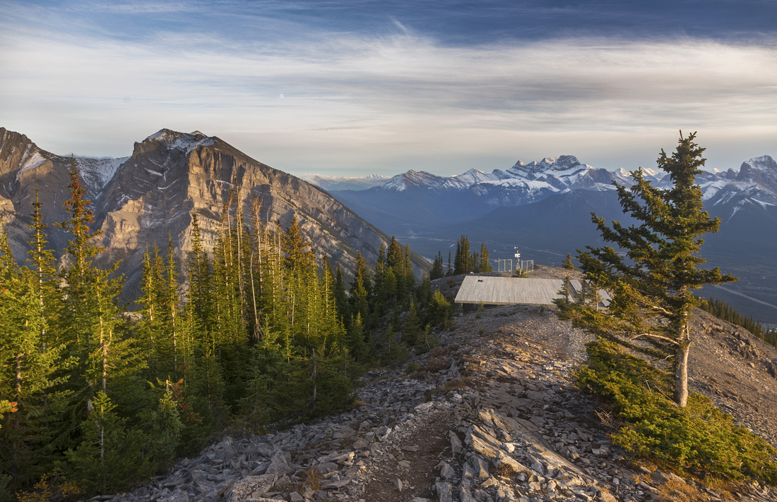 View back just past the helipad. In November 2022 it has been completely removed thus reverting entire area to pre Teahouse construction state
 |
|||
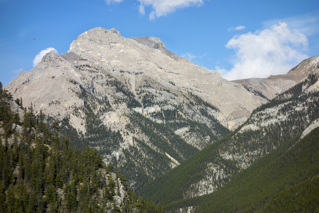
 Mt. Grotto on east side of Cougar Creek
 |
|||
 Lougheed Towers telephoto
 |
|||
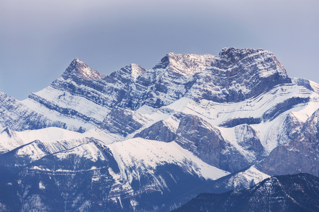
 Mt. Sir Douglas in the distance; Little Sister to the right
 |
Abstract
| Overall Difficulty | D4(D7) | Trail hiking to helipad, followed by talus ascent and summit ridge scramble. Crux is exposed and very dangerous - it should be attempted only in dry and calm conditions | |||
| Snow Factor | S3 | Trail portion frequently ascended in winter conditions (low avi danger). Not recommended continuing past the helipad in winter conditions | |||
| Scenery | Fantastic views of Bow Valley and many distant Kananaskis Peaks | ||||
| Trail/Marking | Very Good/None | Well defined trail to helipad. Section of minor route-finding crossing the boulder field has cairns and markers. Way above is obvious | |||
| Suggested Time | 5hr (8hr) | Return time to helipad (summit) | |||
| Elevation |
Start: 1370m Max: 2300m (2605m) Total: ~1000m (~1300m) |
Round Trip: ~10km(~13km) | |||
| Gear | Day Hikers with good ankle coverage and hiking poles | ||||
| Water | No water past Cougar creek at the start -- carry 2-3L | ||||
| Dog Friendly | Yes | To the helipad only; summit ridge dangerous and not feasible for dogs | |||
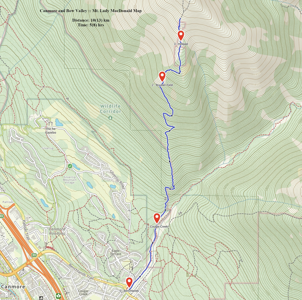 Mt. Lady MacDonald GAIA Map
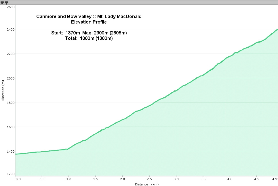 Mt. Lady MacDonald Elevation Profile