Google Map |
Rockies :: Alberta Foothills :: Shell Hill |
GPS Track |
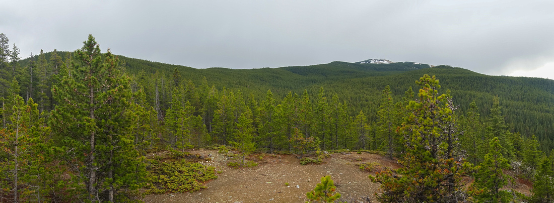 
Panoramic Views south towards Cox Hill from Shell Hill Ridge just below highpoint |
|||
| Trip Summary | |||
May 14, 2025Unofficially named treed bump rising above Dawson Rec area; northerly outlier of better known Cox Hill. It has largely stayed off radar and as such offers sense of exploration/adventure. Trip is short (my RT was only 3hrs) and can easily be combined with Cox Hill itself for longer day. Only real issue is identifying turn-off from Cox trail - first photo in Gallery. This junction is not marked and there is no trail initially so GPS is essential. Faint trail will develop within couple of minutes and become better defined the further you go. There is some mildly awkward sidehilling to small saddle, ~20min from Cox Trail, where trail disappears. Shell summit is another 20 min away, up mostly forested ridge with some open areas. Couple of short bluffs are easily bypassed on climber right. Highpoint - Shell Hill - is marked by small cairn. Descending grassy slope on south side will grant better views towards Cox Hill and Powderface area peaks. Return is the same way. |
|
Gallery |
|||
 Shell Hill Junction Shell Hill Junction
|
|||
| Unmarked Shell Hill turnoff main Cox Trail, ~45-50min from Dawson. Waypoint "1 - Cox Trail", GPS Download Top of Page | |||
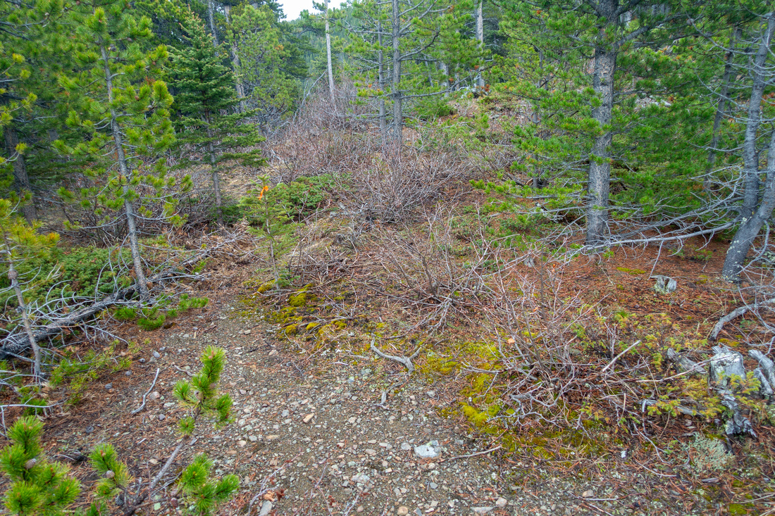 Saddle Flag
Rudimentary Trail fades at low saddle ~20min below Cox trail. Note flag Saddle Flag
Rudimentary Trail fades at low saddle ~20min below Cox trail. Note flag |
|||
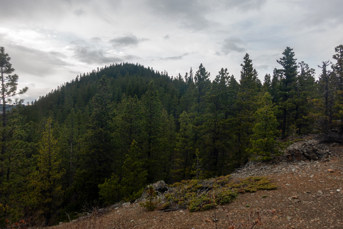 Shell Hill
 from the saddle - just a forested bump. Going is more pleasant from what this photo might suggest Shell Hill
Shell Hill from the saddle - just a forested bump. Going is more pleasant from what this photo might suggest |
|||
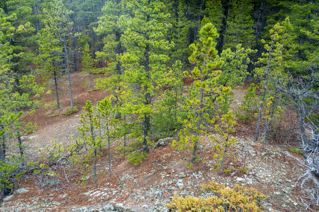 Shell Bushwhack
Very easy bushwhack and despite lack of trail it is impossible to go the wrong way Shell Bushwhack
Very easy bushwhack and despite lack of trail it is impossible to go the wrong way |
|||
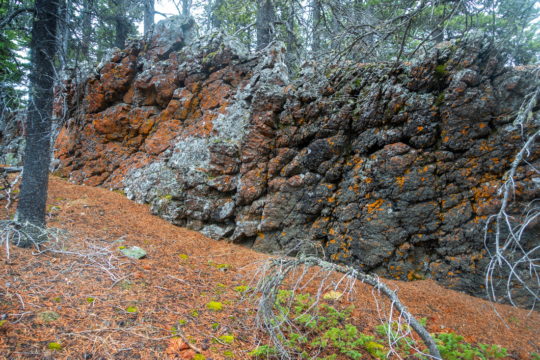 Shell Bluffs
Couple of short bluffs can be scrambled head on, or walked around and don't present the problem Shell Bluffs
Couple of short bluffs can be scrambled head on, or walked around and don't present the problem |
|||
 Shell Bluff
Another short bluff, best bypassed climber right Shell Bluff
Another short bluff, best bypassed climber right |
|||
 Cox Ridge
Looking back towards Cox Hill Access Ridge after bypassing upper bluff Cox Ridge
Looking back towards Cox Hill Access Ridge after bypassing upper bluff |
|||
 Shell Ridge
Final part of Shell Ridge, although forested, offers some nice hiking Shell Ridge
Final part of Shell Ridge, although forested, offers some nice hiking |
|||
 Shell Summit
Semi-open summit with small cairn; at one point there was presumably jar of sea shells tucked below. Cox Hill distance Shell Summit
Semi-open summit with small cairn; at one point there was presumably jar of sea shells tucked below. Cox Hill distance |
Abstract
| Overall Difficulty | D3 | Moderately steep Cox Hill Trail. Some side-hilling and easy bushwhack to Shell Hill | |||
| Snow Factor | S2 | Cox Hill trail can be icy in shoulder season. Shell access does not see traffic and will require 'shoes in winter | |||
| Scenery | Cox Hill and Powderface Area Foothills | ||||
| Trail/Marking | Excellent/None | Wide and well defined trail Cox Hill trail shared with mountain bikers, faint path with flags afterwards | |||
| Suggested Time | 3-4 hrs | Return time from/to Dawson trailhead. Add 2-3hrs if extending to Cox Hill | |||
| Elevation | Start: 1500m End: 1840m Total: ~490m | Round Trip: ~7km (Shell Hill only) | |||
| Gear | Day hikers sufficient in dry conditions. Micro-spikes in shoulder season or winter. GPS Essential | ||||
| Water | No water source. Carry 1L depending on season | ||||
| Dog Friendly | Yes | Standard back-country travel precautions | |||
 Shell Hill GAIA Map
 Shell Hill Elevation Profile