Google Map |
Rockies :: Alberta Foothills :: Seventy Buck |
GPS Track |
|
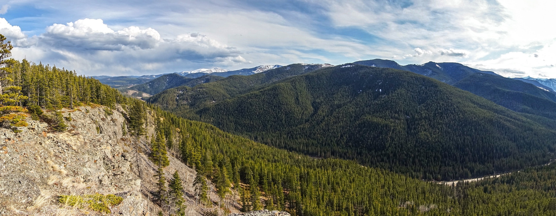
Panoramic view south from Seventy Buck Highpoint; Lusk Ridge directly across, Cox Hill and Moose Mountain distant left |
|||
| Trip Summary | |||
April 29, 2022Seventy Buck is small grassy hill rising on north side of Sibbald Trail (Hwy 68). Steep but short ascent leads to good viewpoint of Foothills and Front Ranges. Dry south facing slope is often feasible year-round. There is no established trail, good flagging exists but neither is really needed. Hike can be extended by traversing logged north slopes then looping back via Seventy Buck Valley logging road, which is also alternate access for Eagle Hill; both hikes can easily be done in 4-5 hours. Although some parties elected to do CCW loop, clockwise direction is far better - steep terrain leading to Seventy Buck viewpoint is better ascended than descended and overall scenery is better.
Parking is at "Crane Meadows" - unmarked pullout couple of km west from Sibbald Lake recreation area (first photo in gallery). If in doubt, use GPS track at top of page - waypoint "0 - Crane Meadows". Valley trail / logging road leads into the forest on north side, and this will be the return way if you do the loop. For Seventy Buck walk for couple of minutes on grassy ledge above the road west, then head up through forest. If you can't find flags, simply trash up anywhere you like. Halfway up is bit of crumbling rock outcrop and above this minor obstacle grade mellows. Trail now appears and leads in some 15min of enjoyable ridgewalking to highpoint that had primitive bivi coral on my visit, as well as fire pit testifying on local popularity. For loop return continue north at edge of logged area to low saddle. Going is not enjoyable here and although guidebook suggests continuing over the rise where presumably logging road can be picked up, I simply trashed down grassy slopes interspersed with young growth and generally had no difficulties dropping to Valley Road. Here turn right and walk back to the parking in ~30 minutes. Turning left will lead to Eagle Hill in ~45minutes - see Eagle Hill page for more details. |
|
Gallery |
|||
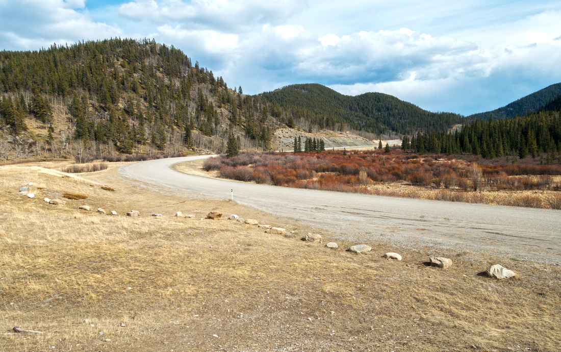 Crane Meadows Crane Meadows Trailhead Parking at unmarked Hwy 68 pullout, couple of km west from Sibbald Lake Rec area
 |
|||
|
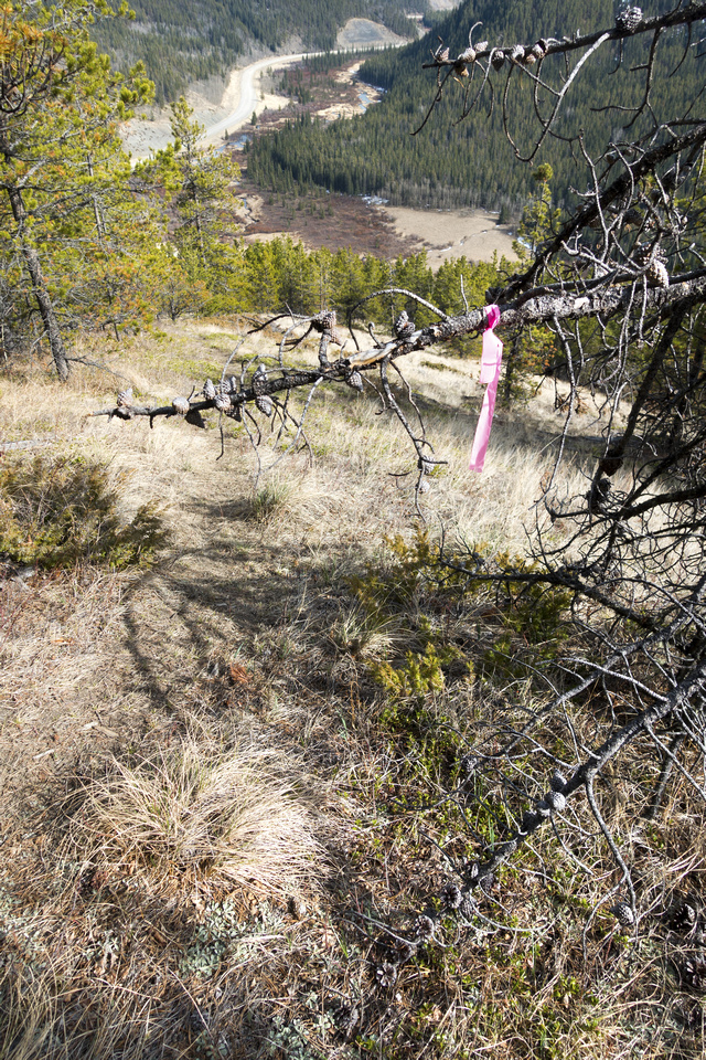
Good flagging as bits of trail develops ascending Seventy Buck Viewpoint |
|||
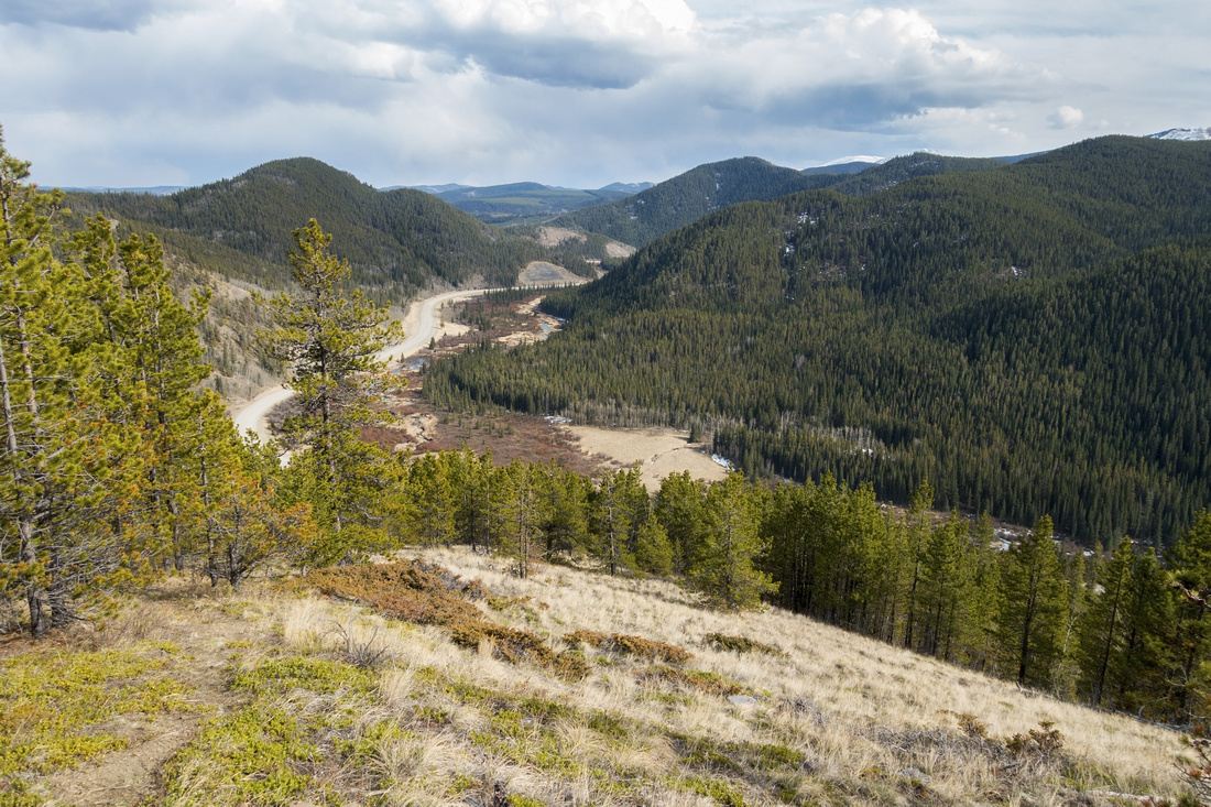 Hwy 68 corridor Hwy 68 corridor Sibbald Trail (Hwy 68) corridor seen from upper part of Seventy Buck Ridge
 |
|||
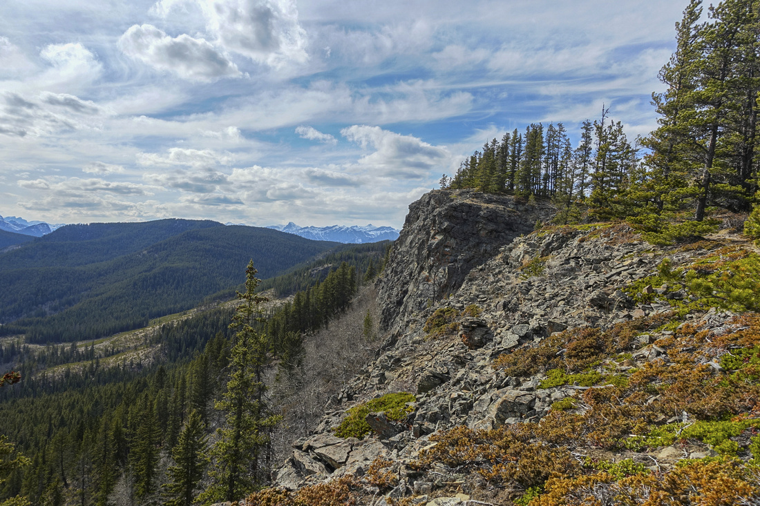 Seventy Buck Summit Seventy Buck Summit Seventy Buck Highpoint looking west towards Front Ranges; only 35-40min from parking
 |
|||
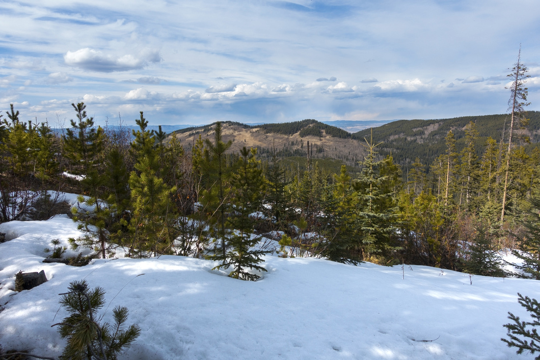 Cutline Snow Cutline Snow View north towards Eagle Hill across logged area
 |
|||
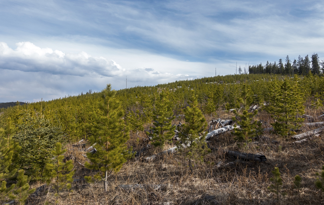 Shortcut Descent Shortcut Descent Trashing down logged area with young growth to junction with valley trail
 |
Abstract
|
Overall Difficulty |
Steep ascent to ridge crest. Minor bushwhack along cutlines to valley floor |
||||
|
Snow Factor |
South facing slope to Seventy Buck often dry in winter. Possibility of postholing along clearcuts early in season |
||||
|
Scenery |
Aspen Forests, Foothills and K-county Front Range Peaks |
||||
|
Trail/Marking |
Poor |
Off route flagged trash to Seventy Buck and most of the way along cutline. Seventy Buck Valley trail well defined |
|||
|
Suggested Time |
2-3 hrs |
Depending on target. Quick run up Seventy Buck viewpoint and return the same way can be done under 2 hours; loop return via valley floor ~3 hrs, add an hour for Eagle Hill extension |
|||
|
Elevation |
Start: 1490m Max: 1750m Total: ~300m |
Round Trip: ~5km (loop return) | |||
|
Gear |
Day Hikers or Full Hiking boots. Poles helpful. Micro-spikes might be required if icy in early season. Snowshoes likely not necessary even in winter |
||||
|
Water |
Seasonal creeks in Seventy Buck Valley. Carry ~1L, more in summer |
||||
|
Dog Friendly |
Yes |
Standard Back-country precautions |
|||
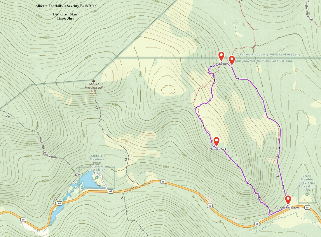 Seventy Buck GAIA Map
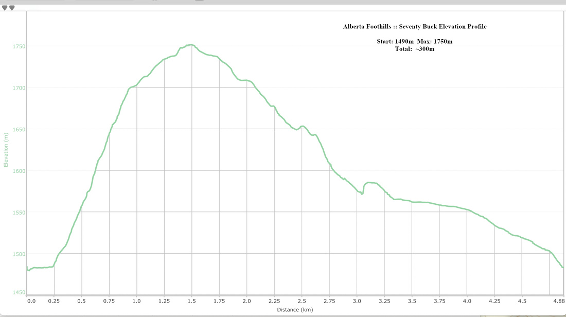 Seventy Buck Elevation Profile
