Rockies :: Alberta Foothills :: Eagle Hill |
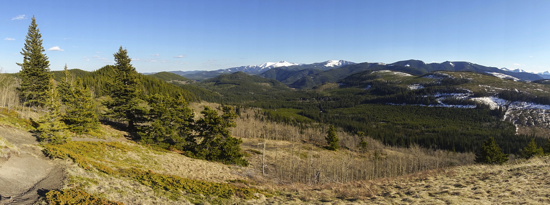 
Panoramic View East from Eagle Hill. Moose Mountain distant center, Cox Hill to its right, Deer Ridge mid-foreground center left |
|||||||
| Trip Summary | |||||||
Multiple Dates, last April 29, 2022Eagle Hill is semi-forested viewpoint rising south of Morley Gas station on Trans-Canada Highway. It is frequent early springtime season hike when Kananaskis and Front Ranges are still plastered in snow. More popular but longer approach is from Sibbald Lake recreation area, just east of Powderface trail junction. Alternate approach is shorter "Seventy Buck" trail utilizing old logging road in Seventy Buck Valley. Both trails converge as one reaches last bits of forest some ~20min before the end. Sibbald Approach
Only navigation difficulty is right at the beginning due to convoluted network of criss-crossing forest paths; they all converge below Deer ridge ~30min from the start. Rest is undemanding walk through semi-open aspen forest, with final part moderate angle hike to the high-point. Drive to Sibbald Lake recreation area on Hwy 68; coming from Calgary it will be ~24km from Trans-Canada exit (~15km from Hwy 40 if coming from west). Parking is next to picnic shelter in front of gated road leading to Children Camp Adventure. Longer start is to walk back the road a bit, then follow trail branching west from Moose pond. Most hikers seem to prefer "ridge start" that leaves Camp Adventure road ~5min past the gate. Sign advises to follow blue ribbons (see gallery), but this was misleading on my hike as ribbons were not always present. Simplest instruction to remember is -- go left at all junctions until you reach information table with map and distances on main trail; turn right here. Moose Lake start joins here as well. Forested Deer ridge to the west is popular half-day hike from Sibbald lake and you reach north junction in ~20 min. Go through the gate, ascend briefly then settle for enjoyable walk in semi-open forest below Grouse ridge to the east; this section can be quite muddy in spring. Trail then drops, crosses the creek on wood bridge, then switch-backs up to junction with Seventy Bucks trail.
Seventy Buck Approach
Final Part Final ascent is bit more steep but with open views and quite enjoyable. At the summit, cross barbed fence (Kananaskis country boundary) and walk shortly left to sweeping, but often windy, NW viewpoint. Many familiar peaks including Mt. Yamnuska, Association / End mountain, Mt. Fable and even distant Three Sisters can be seen. Looking back south are Moose Mountain, Cox Hill and several Kananaskis Peaks further right. Nice picnic table and bench are sheltered and perfect spot for lunch.
Return is the way you came from, or if with two cars (or bicycle) loop for variety is feasible. Optional extension on Sibbald side is Deer ridge or closing the loop via Moose Lake. On Seventy Buck side Promontory viewpoint above Sibbald Trail, marginally higher than Eagle Hill itself, is rewarding. For more details about this option, see here. |
|||||||
|
Gallery |
|||
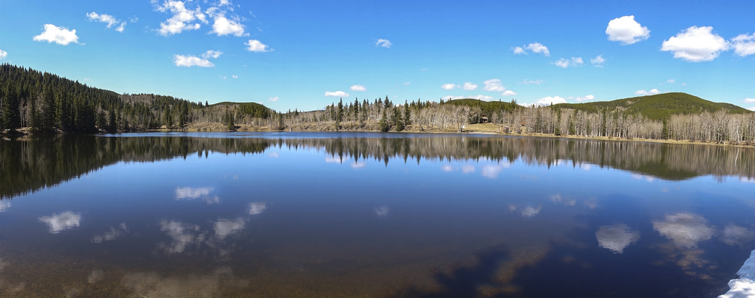  Panoramic View of Sibbald Lake near Trailhead Parking
 |
|||
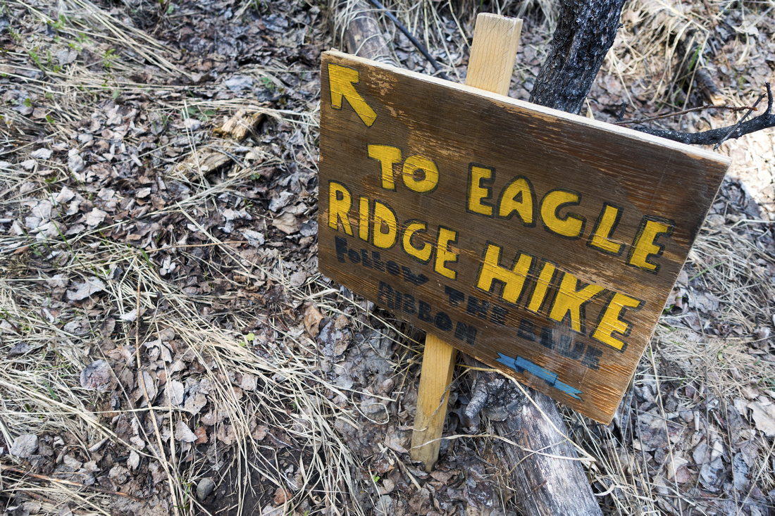  Direction Table at bottom of hill via Approach 1, bit misleading as blue ribbons are not present at all junctions
 |
|||
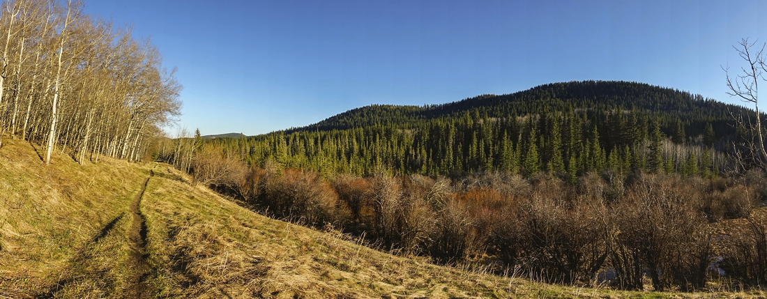 Deer Ridge Deer Ridge Looking back at mostly forested Deer Ridge on Approach 1
 |
|||
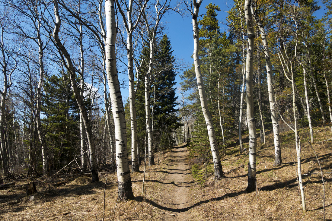  Dry section of trail gently rising through Aspen forest below Grouse Ridge on Approach 1
 |
|||
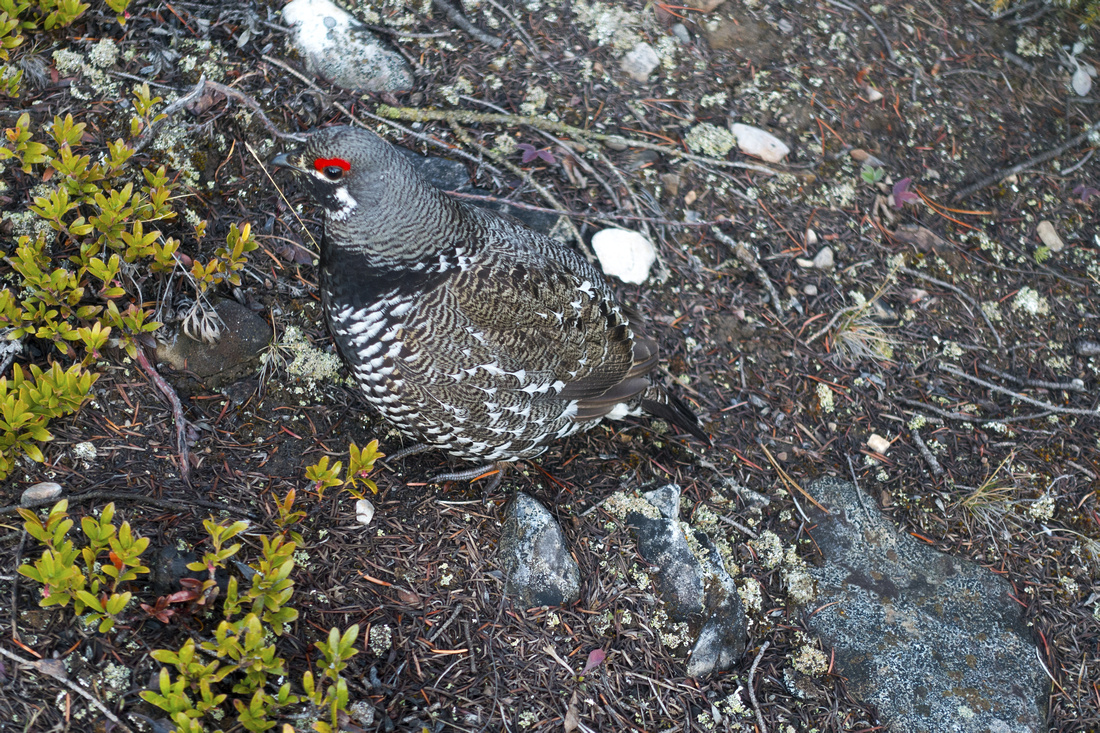  Spring Mating Time for Alberta Spruce Grouse!
 |
|||
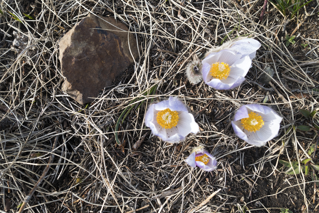 Prairie Crocus Prairie Crocus Is Spring finally coming?
 |
|||
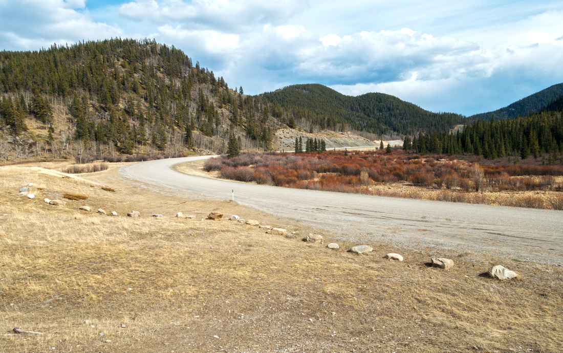 Crane Meadows Crane Meadows Crane Meadows Parking - just a pullout ~4km west from Powderface Junction (Approach 2)
 |
|||
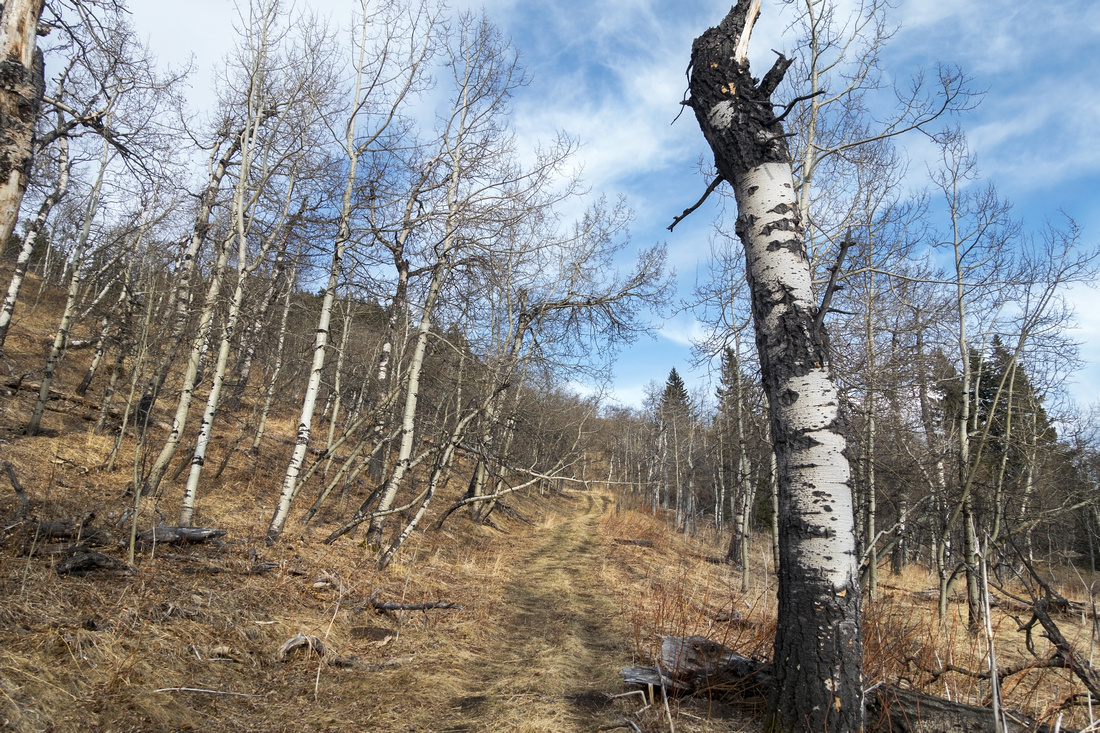 Burnt Aspen Burnt Aspen Rising through semi-open Aspen forest on Approach 2
 |
|||
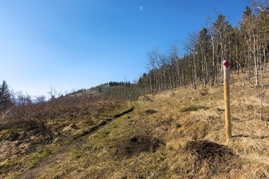  Marker as approach via both approaches merge for final common part. Eagle Hill is semi-forested bump ~20 min away
 |
|||
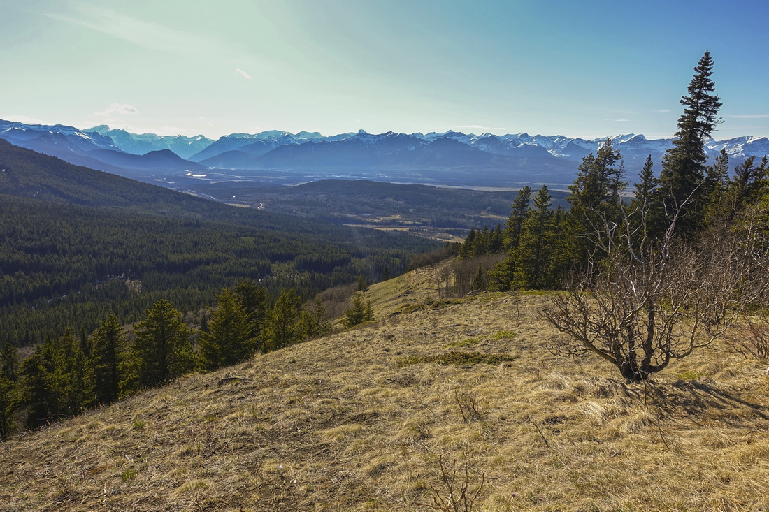  NW views towards Rocky Mountains from Eagle Hill. Mt. Yamnuska is just left of centre
 |
|||
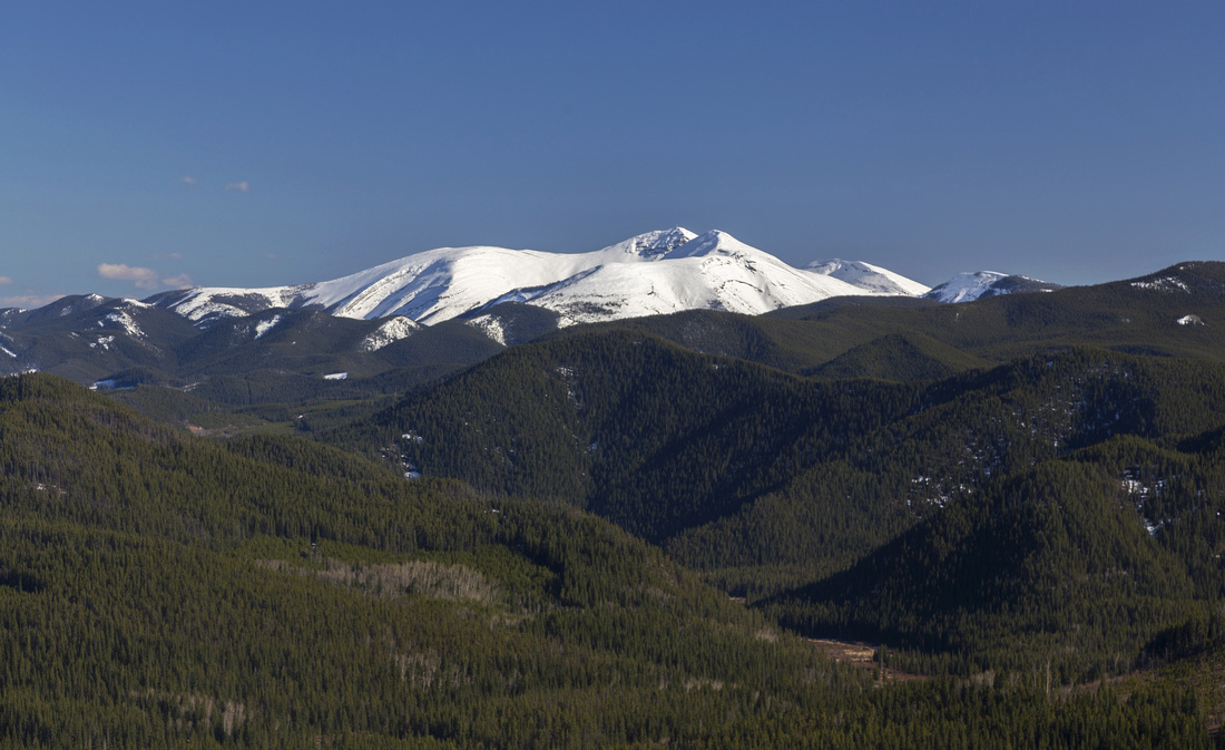  Telephoto view SE towards snowy Moose Mountain
 |
|||
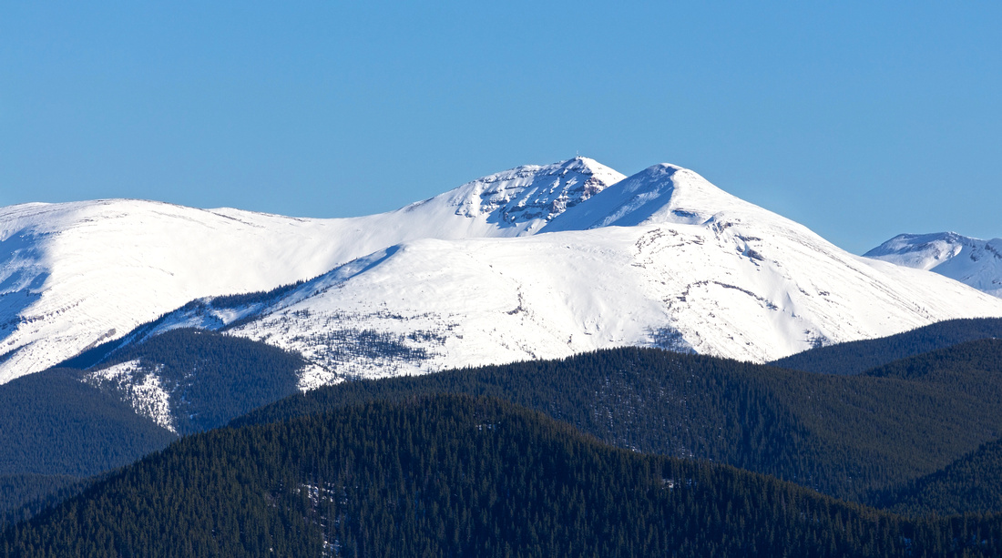  Closer look at Moose Mtn (note telecommunication tower on top) with unusual snowy conditions; by mid-May it is usually bone dry.
 |
|||
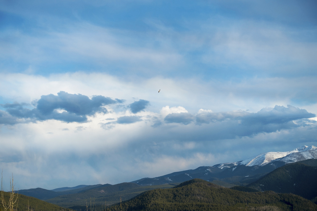 Eagle Flyby Eagle Flyby This is why they call it "Eagle Hill" - regretfully I did not bring zoom lens
 |
|||
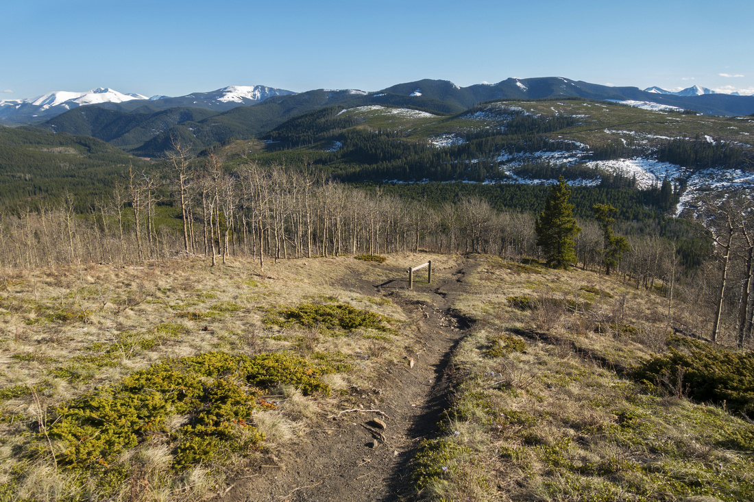  Descending Eagle Hill on the way back. Note horse post below
 |
Abstract
| Overall Difficulty | D2 | Easy rolling trail with some ups/downs and couple of steeper sections. | |||
| Snow Factor | S1 | Low snow and/or compact trail might not require snowshoes. Possibility of strong winds on Eagle Hill. Icy sections likely in shoulder season without icers might pose difficulties | |||
| Scenery | Aspen forests and low ridges. Sweeping Panorama of Foothills and Bow Valley Peaks from Eagle Hill | ||||
| Trail/Marking | Very Good | Well defined trail with signposts, but several confusing junctions initially on Sibbald Ridge approach (keep left) | |||
| Suggested Time | 3-5 hrs | 5 hrs for Camp Adventure road on Sibbald approach and return the same way; add 1-1.5 hrs if looping back via Deer Ridge. 3-4hrs for Seventy Buck valley. | |||
| Elevation |
Start: 1505m Max: 1735m Total: ~550m (Sibbald) |
Distance: 15 km (Sibbald) | |||
| Start: 1490m Max: 1735m Total: ~350m (Seventy Buck) | Distance: 8 km (Seventy Buck) | ||||
| Gear | Day hikers sufficient in summer conditions. Micro-spikes could be useful in winter but snowshoes usually not necessary. Gaiters suggested in shoulder season because of muddy conditions | ||||
| Water | Seasonal stream crossings, but no reliable water source. Carry 1 - 1.5L | ||||
| Dog Friendly | Yes | Standard back-country travel precautions | |||
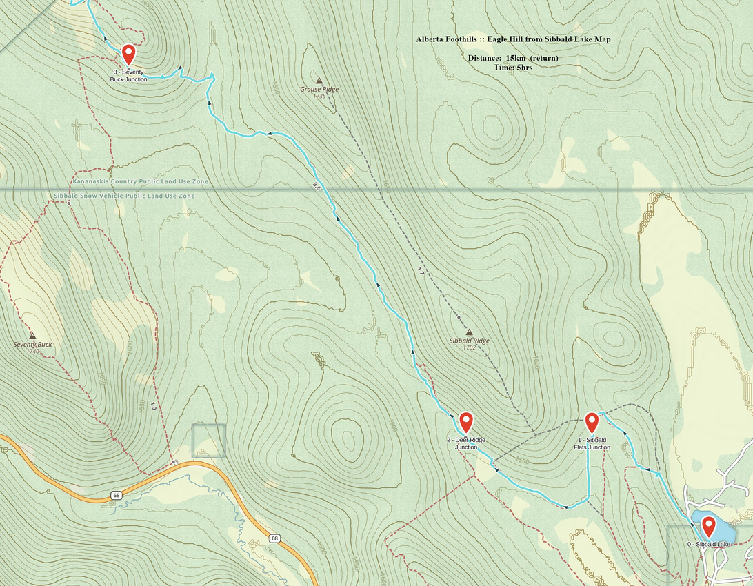 Eagle Hill from Sibbald Lake GAIA Map
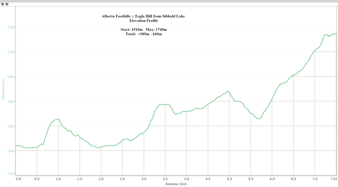 Eagle Hill from Sibbald Lake Elevation Profile
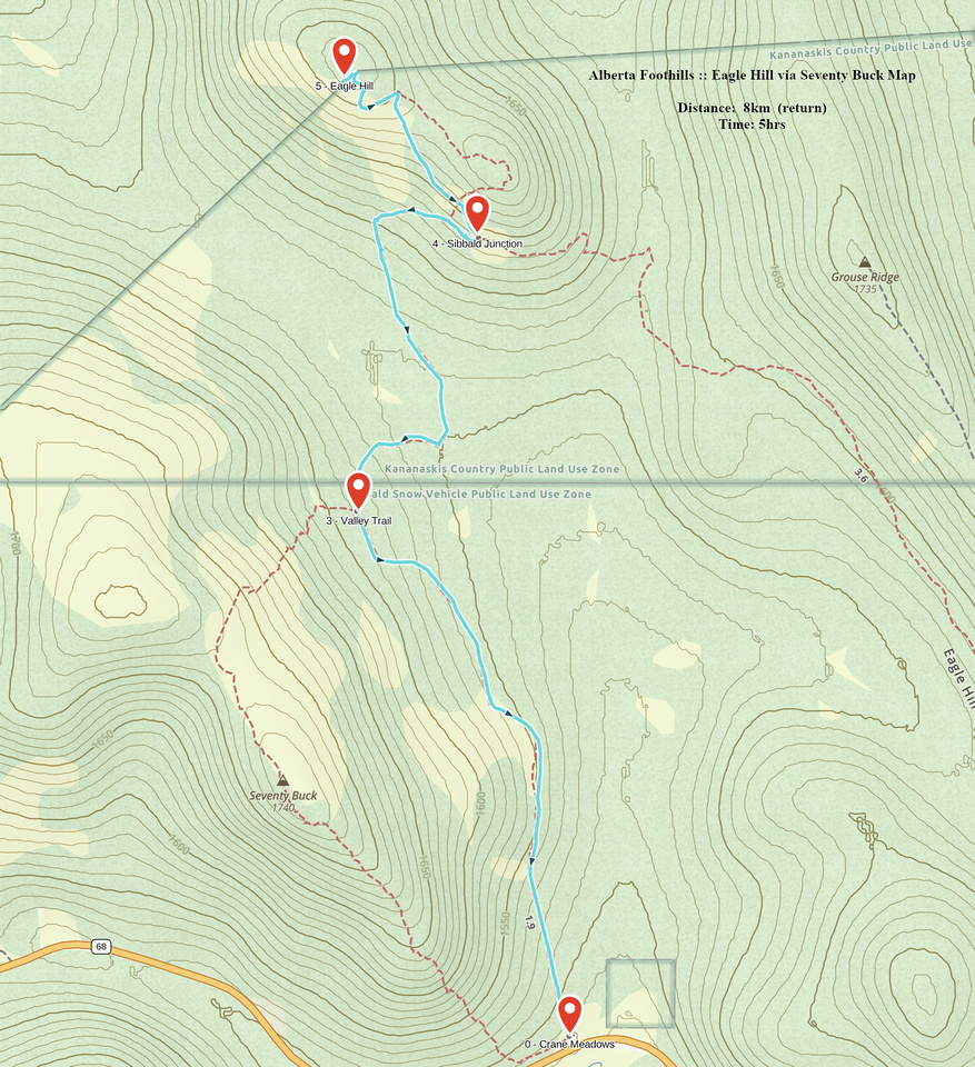 Eagle Hill via Seventy Buck GAIA Map
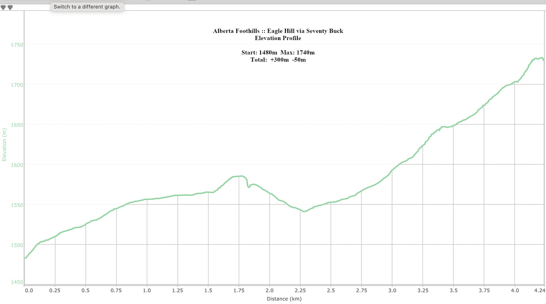 Eagle Hill from Sibbald Lake Elevation Profile