Rockies :: Alberta Foothills :: Ghost Wilderness |
|
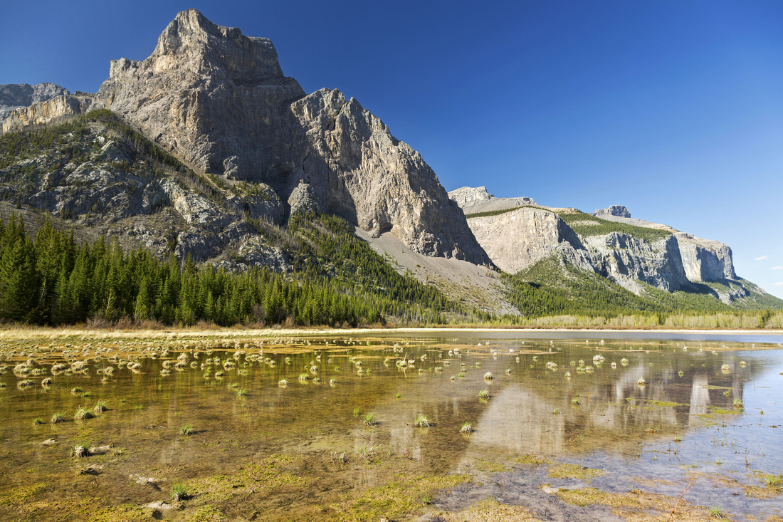
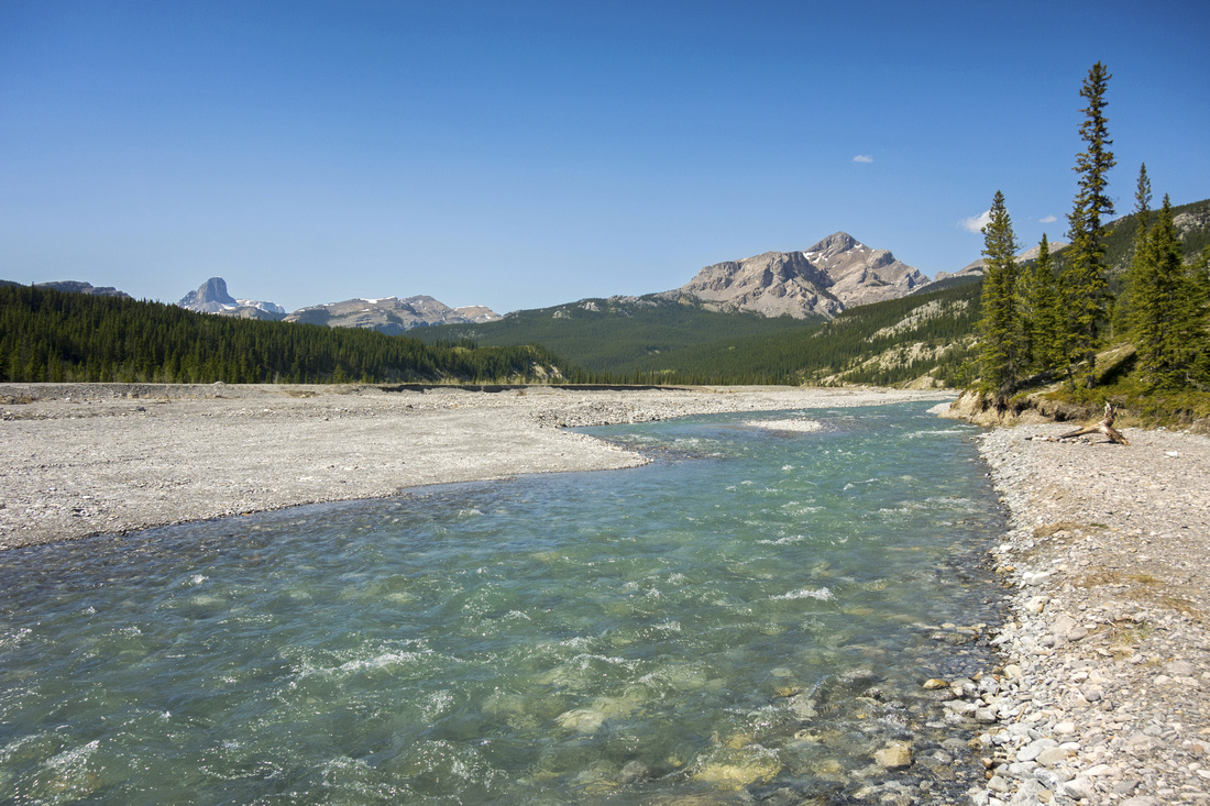
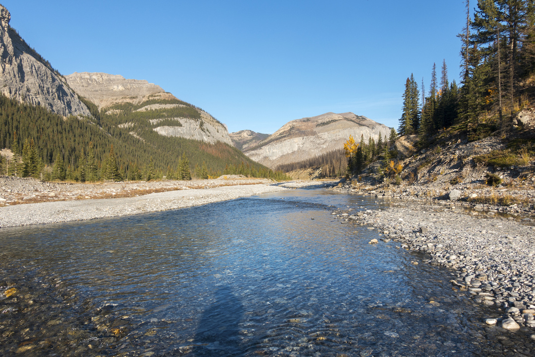
Ghost River below the Big Hill; fast flowing in Springtime, usually dry in the Fall. Black Rock center right, Devils Head left |
|||
|
Ghost is awesome wilderness area bordering Foothills and Eastern Flanks of Banff National Park. Fantastic Rock Formations, River Valleys, Lakes, Waterfalls and craggy Peaks. Access is via Trans-Alta Utility Road branching off Hwy 940 some 25km north of Hwy 1A. Gravel with potholes, washboards that get worse the further you go. With low clearance car one can usually drive to top of "Big Hill" - exactly 10 miles from Hwy 940 and park on the right side. With 4x4 high clearance it is possible to continue, depending on season and water levels as braided channels of Ghost River have to be crossed several times. Despite being fairly well documented in Daffer K-Country Guide, difficulty of access is main reason area is not overrun like most of Kananaskis country to the south.
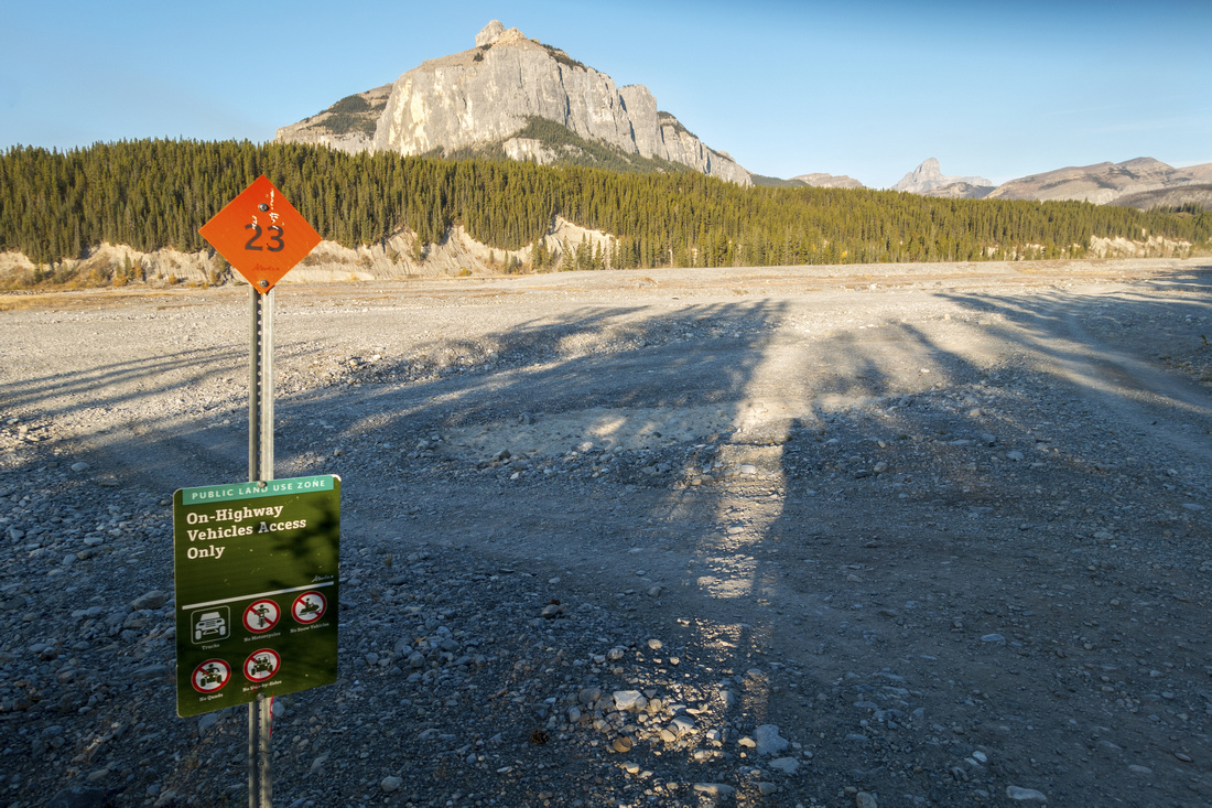
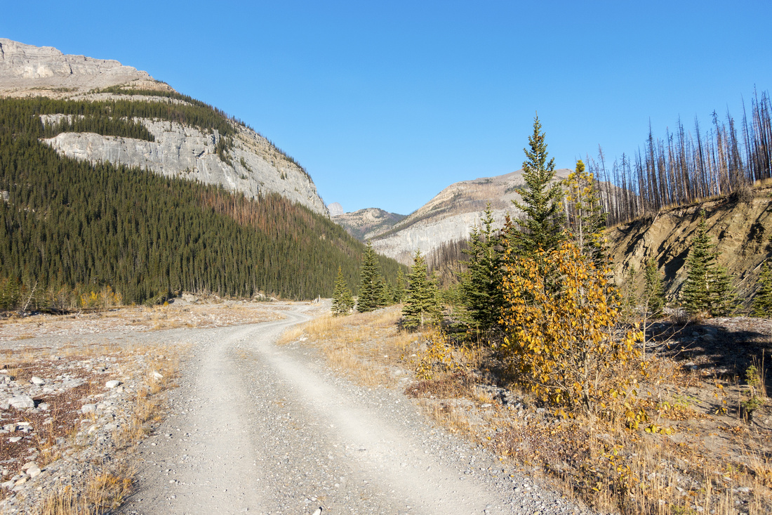
Trans-Alta road to top of "Big Hill" In dry conditions road can be handled with low clearance cars. Expect slow-going - whenever I went it took almost an hour. First couple of km are fairly easy, but after Lessueur creek bridge ~2km mark conditions deteriorate significantly. On my spring '22 trip this bridge was overrun by spring snow melt; not wanting to get stranded I reverted to "Plan B" - Lesueur Ridge. Worst section is usually just past Trapper Hill Lodge ~km 5; very steep and extremely rutted rise - evaluate conditions carefully and proceed at your own risk. Conditions improve afterwards but caution and slow going is norm. Eventually you reach "Big Hill" where road dips very steeply to Ghost River. This section is not low clearance domain anymore; parking is clearing at right (north) side just above.
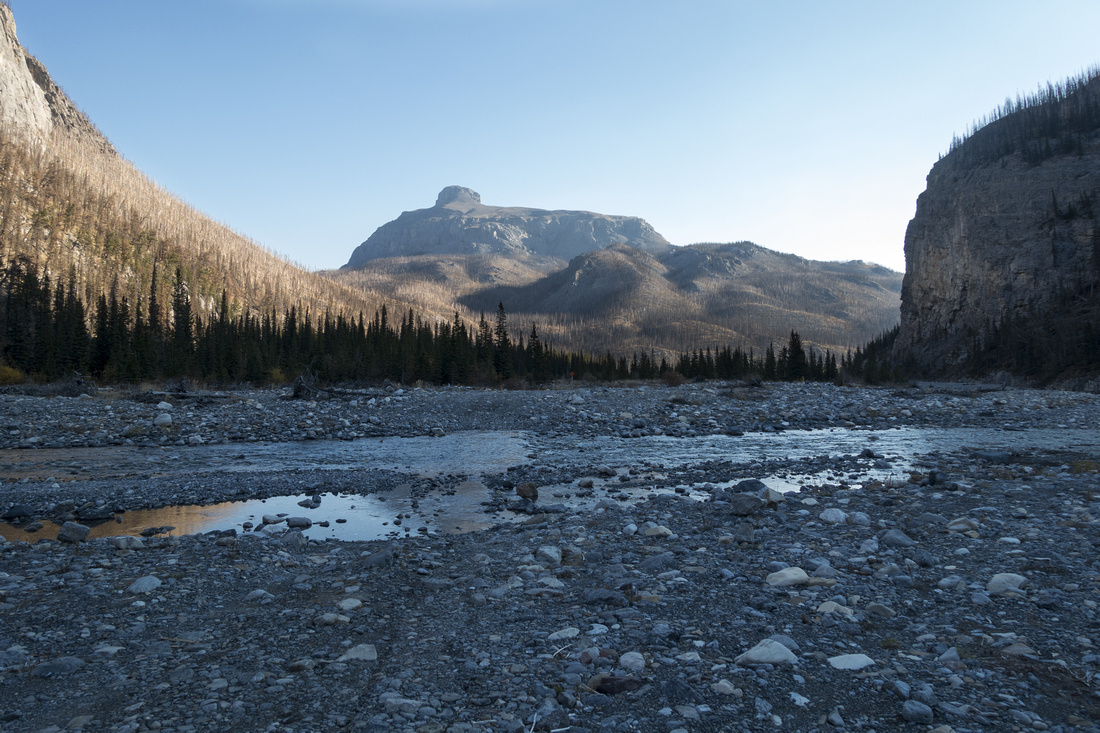
Ghost River Bed beyond "Big Hill" With 4WD continuing down the Big Hill is option. First obstacle is at the bottom - initial Ghost river crossing. People did get stuck here, often on return when water levels are usually higher. If unsure do NOT proceed. Lead photo on this page, taken on return from Ghost Lakes dayhike in Springtime, illustrates what you'd be dealing with. Note very nice camping area just before this initial river ford on left (south) side; I've often seen people camping here (Crown land, no fees necessary).
After initial crossing there is choice. If going south (Orient Point, Devils Gap, Ghost Lakes etc) - one can drive to official BNP boundary where further motorized traffic is not allowed anymore.
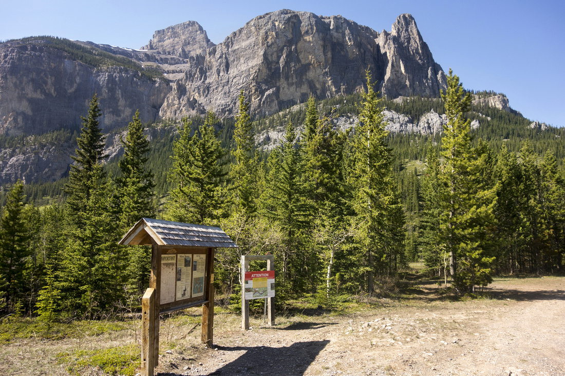
In my honest opinion driving to here is not really worth as distance is not that long - better to bring bicycle. If going NW (Black Rock, Bastion Ridge, Malamute Valley, etc) situation is not so clear cut. Black Rock trailhead is only 3km away and I again recommend parking at Big Hill then either cycling or even better fast walking
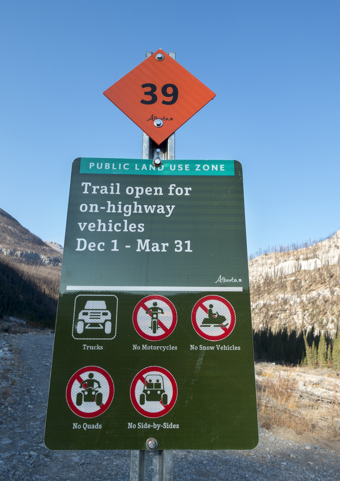
Continuing further west one can usually drive or cycle easily to Marker #39 (rougly 7km from Big Hill), where further motorized access is not allowed anymore. There will be at least 2 more river fords involved.
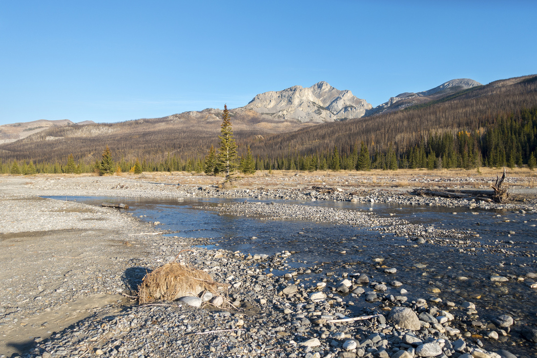
Marker #39 roughly 1km from "Valley of the Birds" Over the years I explored following areas:
Some images from these hikes are showcased on gallery below; follow the links above for more details and full trip reports |
|
Gallery |
|||
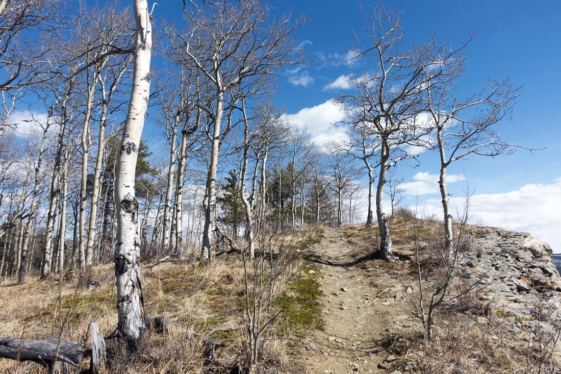 Lesueur Aspens Lesueur Aspens Stand of Aspen Trees on Lesueur Ridge in Springtime
 |
|||
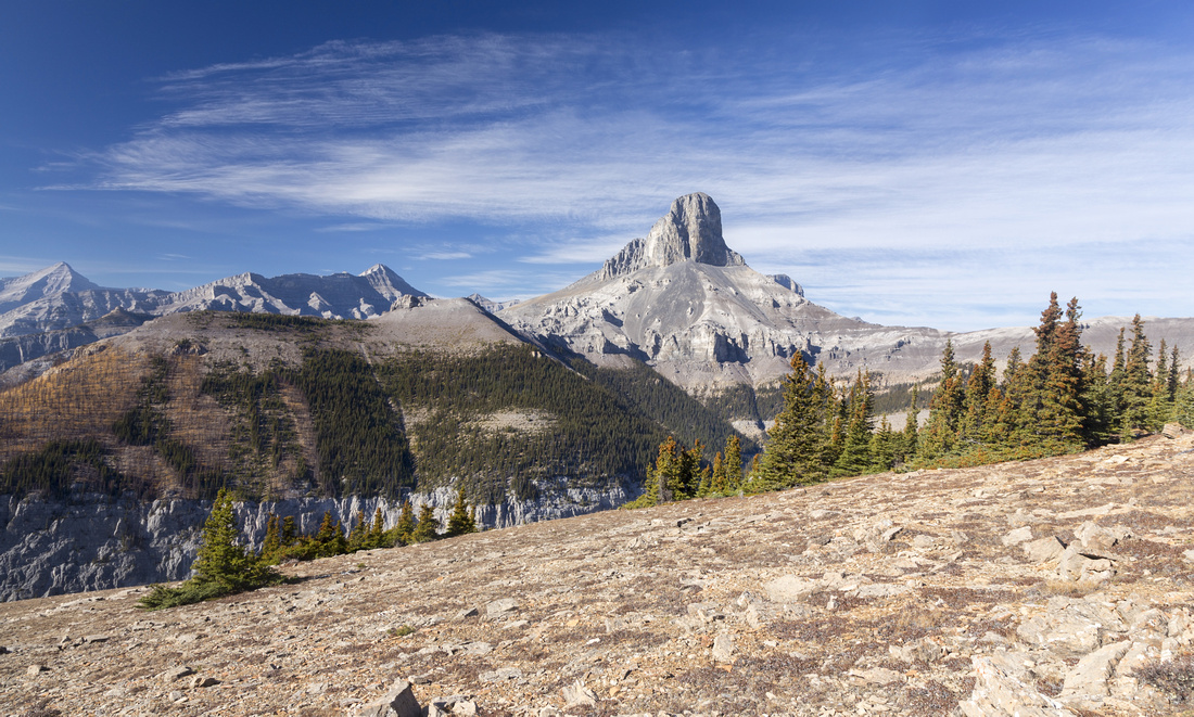
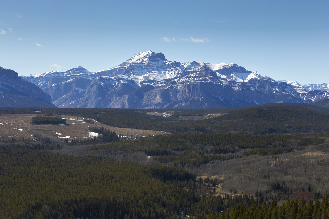 Costigan and Peechee
Mt. Costigan (C) and Mt. Peechee (L) across Devils Gap from Lesueur Ridge Costigan and Peechee
Mt. Costigan (C) and Mt. Peechee (L) across Devils Gap from Lesueur Ridge |
|||
|
|
|||
|
|
|||
|
|
|||
|
|