Google Map |
USA :: Prescott :: Thumb Butte |
GPS Track |
 
Thumb Butte from Groom Creek Vista, brief side trip from main loop trail |
|||
| Trip Summary | |||
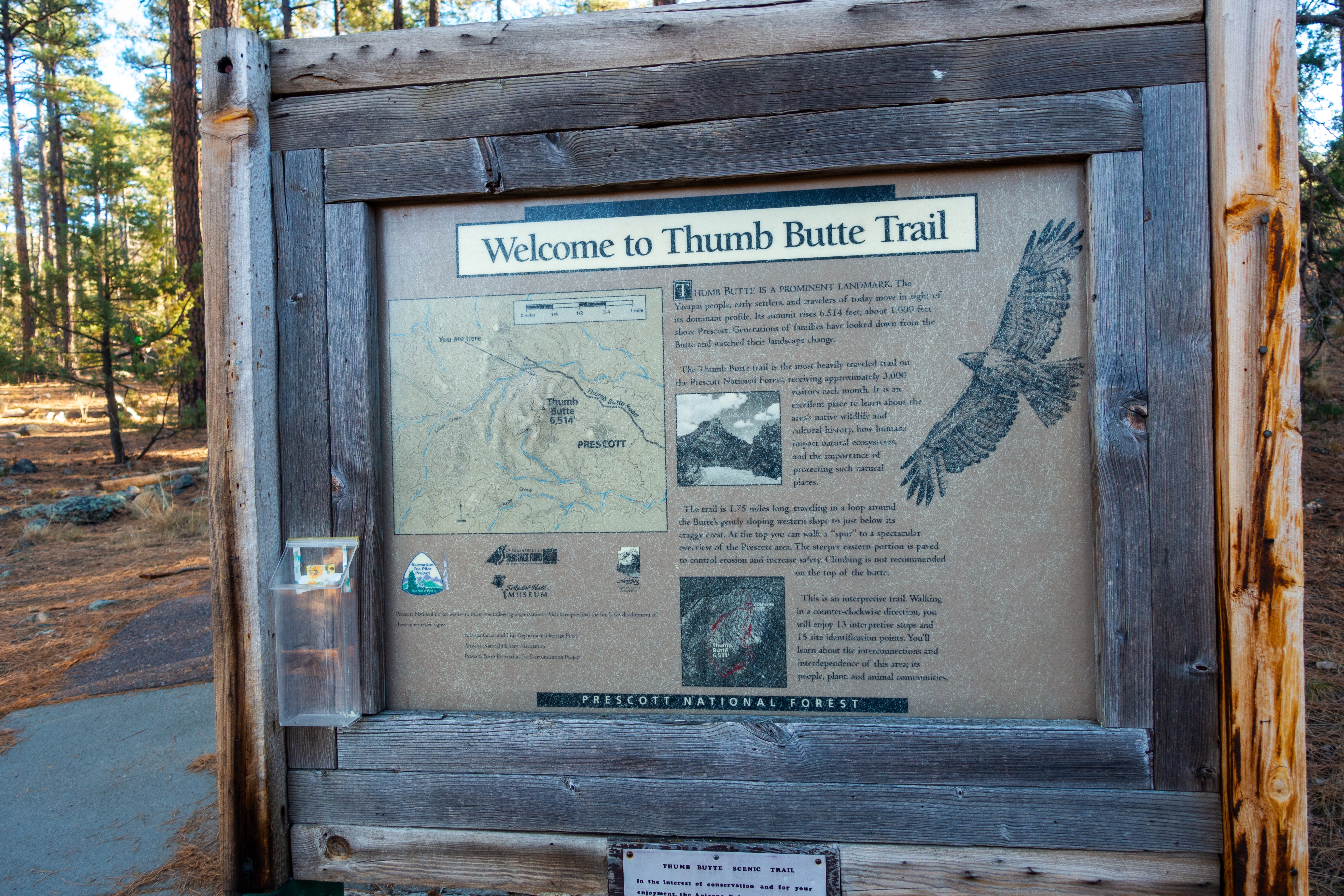
December 17, 2023Thumb Butte is one of best known Prescott area short hikes. Distinct Rock Feature is readily seen from City Center and due to its proximity it's also very popular. Trailhead Parking is at signed Recreation Area along paved Thumb Butte Road ~15min from Prescott Downtown. Area is managed by USDA Forest Service and Pass is required. If visiting US natural areas longer than just few days America The Beautiful annual pass is way to go as it covers much more than just National Parks and $$ savings are substantial. From signed junction just above parking lot loop can be done in either direction; I recommend CCW because of open northerly views on return. Wide dirt trail rises gently through semi open Ponderosa forest on the West side, then continues left towards Thumb Butte. Brief side trip to Groom Creek vista with Rest Benches and Interpretive signs is a must (lead Photo). Switchback descent back to Parking is very enjoyable.
Anyone interested in scrambling to top of Thumb Butte, here's what to expect. Leave main trail near the Highpoint and head right (Waypoint "2 - Summit Junction", GPS download Top of Page). Bits of bushy trail develops and leads to summit block where scramble begins. There are many options with various degree of difficulty - but none easy. I angled climber left and after ascending awkward chimney circled on ledge to drop-off where exposed cleft (class 4) led to summit plateau, where I turned back - see Gallery. Fairly good Internet resource with more details and photos is here. |
|
Gallery |
|||
 |
|||
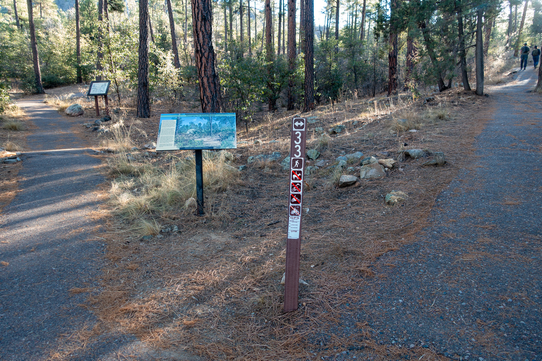 Loop Junction Loop Junction Signed Junction just past Trailhead. CCW direction is suggested option
 |
|||
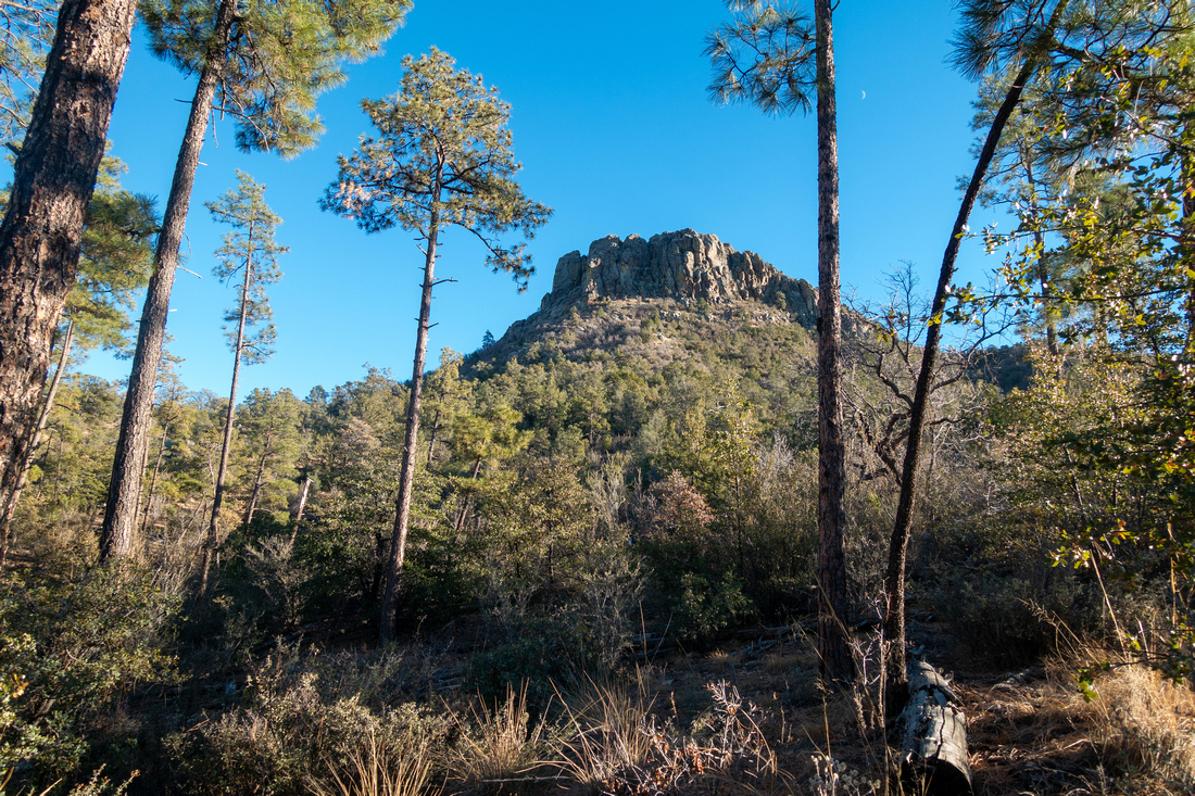 Ridge Crest Ridge Crest There are several nice views of Thumb Butte as well graded trail ascends semi-open Ponderosa Pine Forest
 |
|||
 Prescott Valley Prescott Valley Prescott Valley Panorama from Groom Creek Vista
 |
|||
 Scramble Base Scramble Base Base of Scrambling Part for Ridge Crest. There are several options; easiest angles to the left
 |
|||
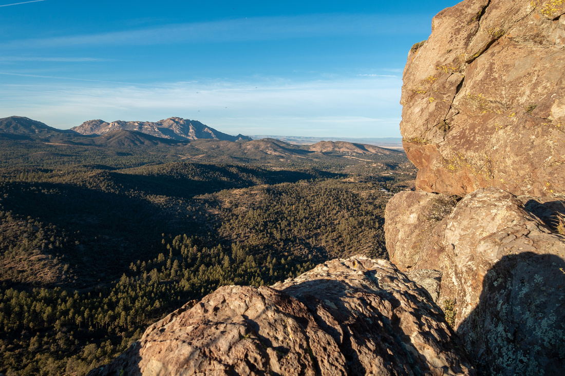 Granite Mountain Granite Mountain View of Granite Mountain area to the north from my turnaround point. Exposed class 4 cleft breaks summit block on the right side
 |
Abstract
| Overall Difficulty | D2/5 | Moderate grade with some rocky parts (D2). Class 3-4 Rock Scramble to Ridge Crest (D5) | |||
| Scenery | Groom Creek Vista with Interpretive Signs and Panoramic views of Prescott Valley | ||||
| Trail/Marking | Excellent / None | Well defined trail with Trailhead Map for loop Hike. Routefinding with Bushwhack for Ridge Crest Scramble | |||
| Suggested Time | 2hrs | Casual pace for loop Hike. Add an hour for Ridge Crest | |||
| Elevation | Start: 1750m Max: 2000m Total: ~270m | Round Trip: ~4 km | |||
| Gear | Day hikers sufficient; hiking poles optional. Long Pants / Hard gloves for protection if attempting scramble to the Crest | ||||
| Water | Thumb Butte Recreation Area at Trailhead only. Carry 1L or more depending on season | ||||
| Dog Friendly | Yes | Dogs must be kept on leash entire time | |||
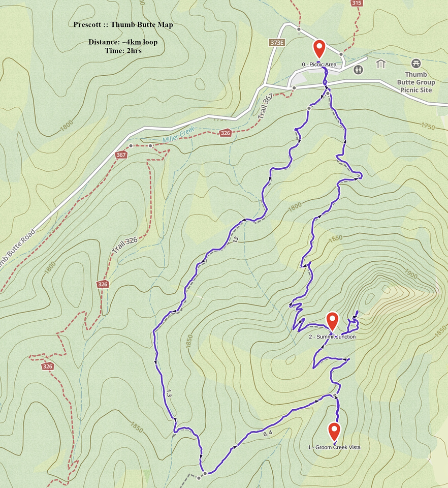 Thumb Butte GAIA Map
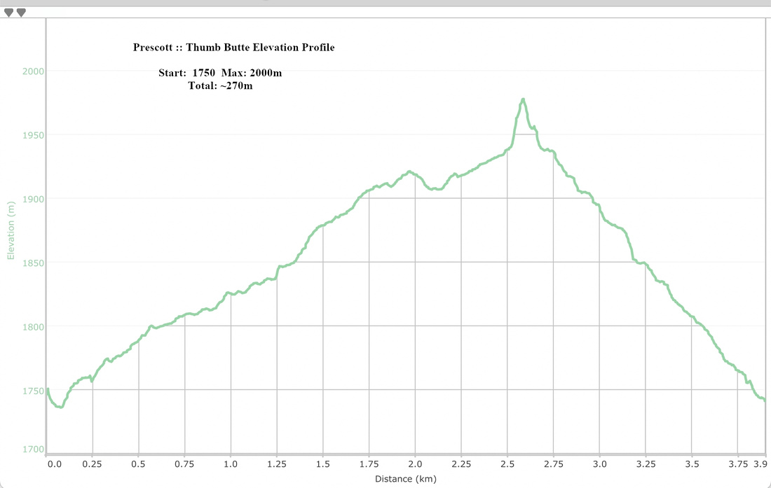 Thumb Butte Elevation Profile