Google Map |
Rockies :: Kootenays :: Dog Lake |
GPS Track |
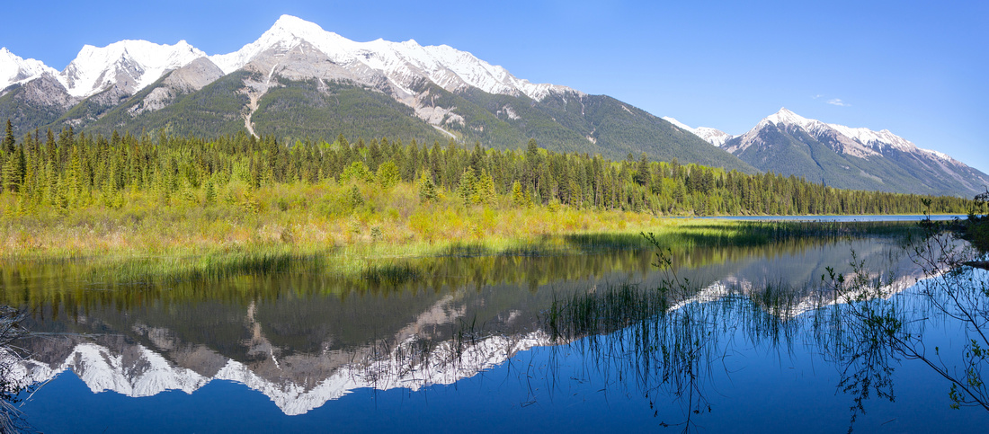 
Mt. Harkin (2980m) Mirror-like Reflection in calm Dog Lake water |
|||
| Trip Summary | |||
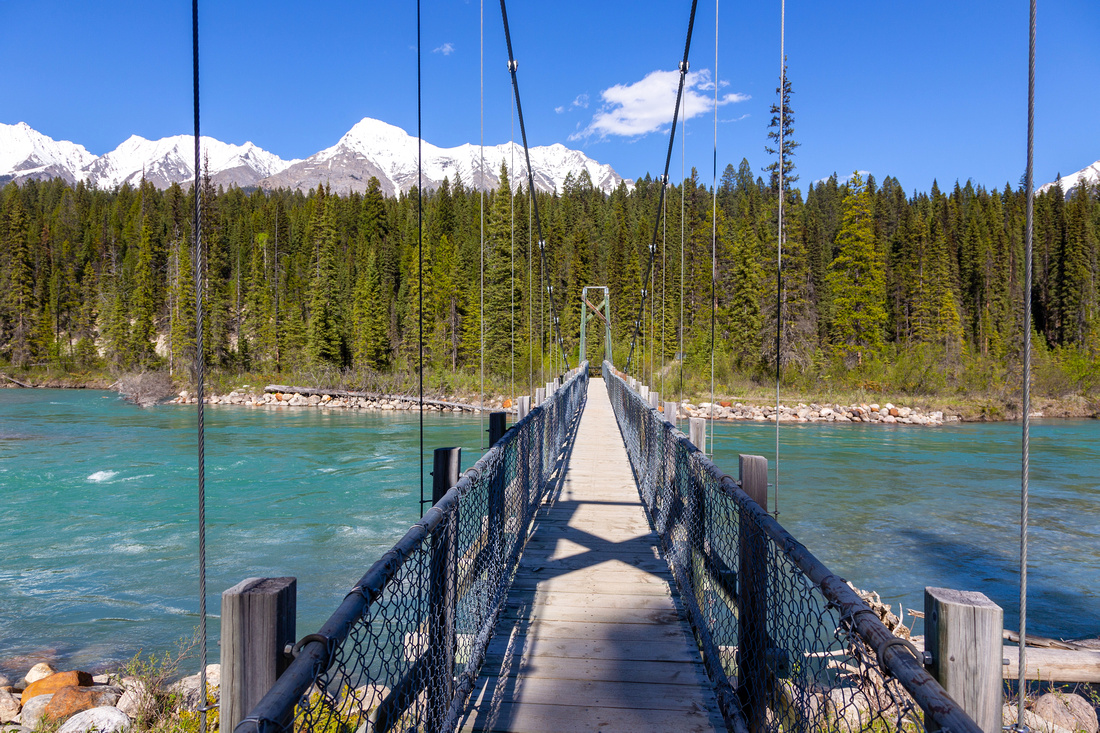
Jun 7, 2024Short, Family friendly hike in Kootenay National Park on east side of Hwy 93, some 40km from Radium. Trailhead is at signed McLeod Meadows Campground by Kootenay River. Dog Lake Trailhead is separate from Campground (2 different exits from Hwy 93, both signed). Trail is official Kootenay National Park trail, also listed in Patton / Robinson Canadian Rockies Trail Guide. It is maintained regularly with table signs at all junctions. Distance is fairly short and despite large parts being forested also quite scenic. After passing through the campground trail crosses Kootenay River twice, first channel on longish suspension bridge and second channel on sturdy wood bridge. Trail then rises on the other side and reaches junction with East Kootenay Fire Road. Dog Trail continues uphill, then drops on the other side ending at Marshland on west side of the Lake. There is no beach just a beaver dam that likely sees plenty of mosquitoes in summer. On a windless sunny day Reflections of Mitchell Range in calm water is very beautiful - lead photo on the page. Return is the same way; for bit longer day continue on faint trail going north past some beaver dams, following Dog Creek for ~2km before rejoining East Kootenay Fire Road (see Gallery). Uneventful, but tranquil forested walk for about half an hour closes the loop.
Due to low elevation this trail is snow free much earlier compared to areas further north-east. It is likely quite popular in hot summer months by weekend campers staying in McLeod Meadows, but on my trip in early June I had it to myself. Be ware that East Kootenay Fire Road is bear corridor; on my hike I saw large fresh scat smack in the middle of trail. Carry bear spray and take necessary precautions, despite being close to civilization. |
|
Gallery |
|||
 Dog Lake Trailhead Dog Lake Trailhead Park Table with posted distances at Dog Lake Parking Lot
 |
|||
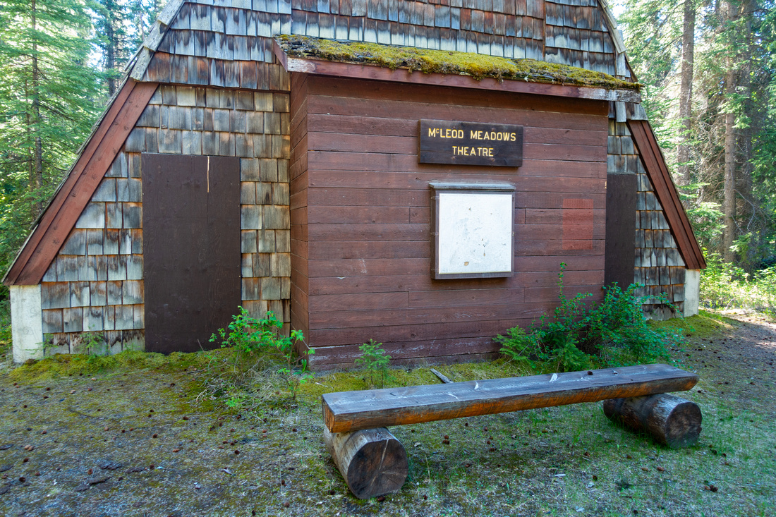 McLeod Theatre McLeod Theatre Outdoor Theatre at McLeod Meadows Campground
 |
|||
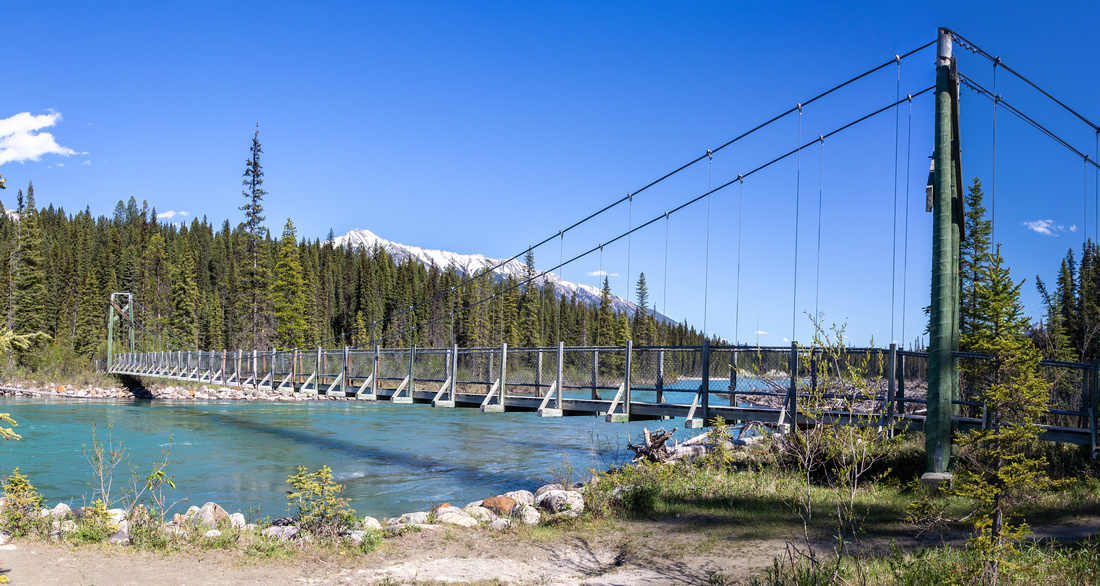 Suspension Bridge Suspension Bridge Somewhat lengthy Suspension bridge across first channel of Kootenay River
 |
|||
|
|
|||
 Second Bridge Second Bridge Sturdy log bridge over second Kootenay River Channel
 |
|||
 East Kootenay Fire Road East Kootenay Fire Road Dog Lake crossing East Kootenay Fire Road few minutes above Kootenay River. If doing loop return, you come from left side
 |
|||
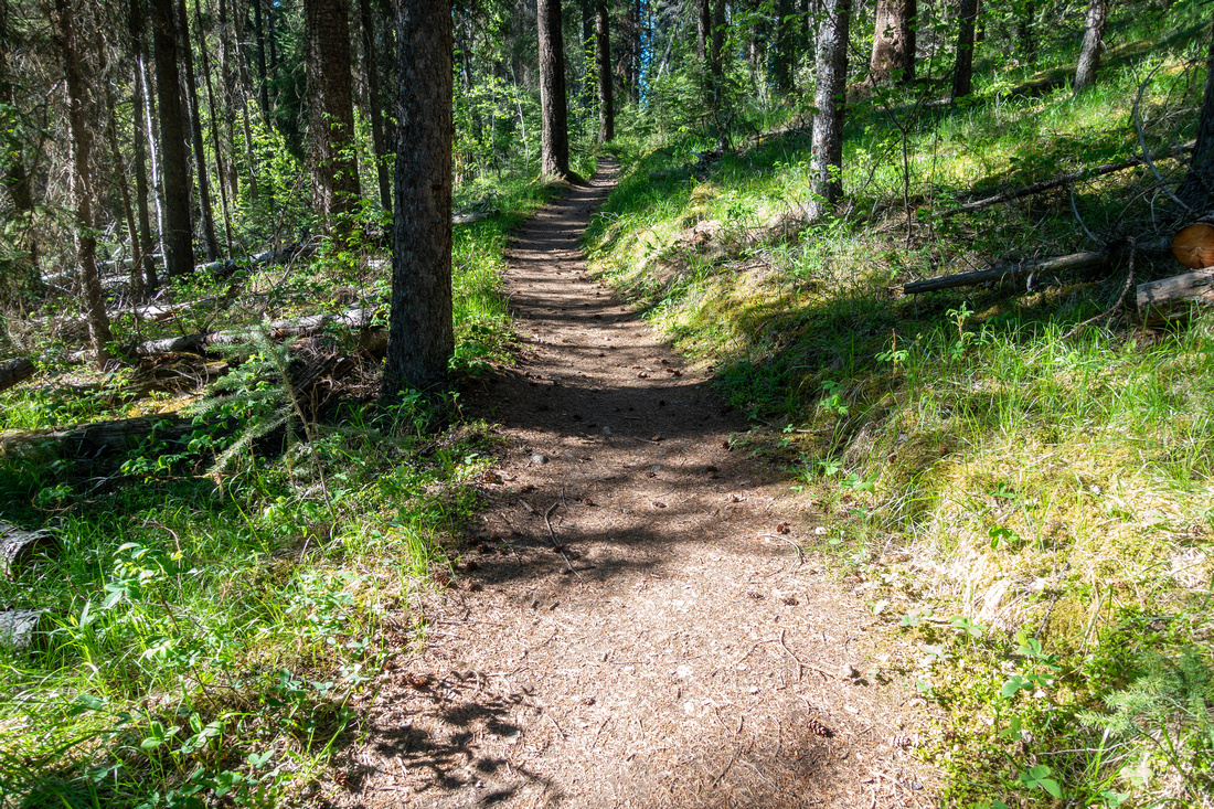 Forested Trail Forested Trail Typical Section of Dog Lake trail ascending forested ridge
 |
|||
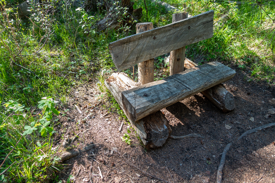 Rest Bench Rest Bench Neat Wooden Rest Bench at Crest of Forested Ridge. From here trail descends to Dog lake in another 10-15mins
 |
|||
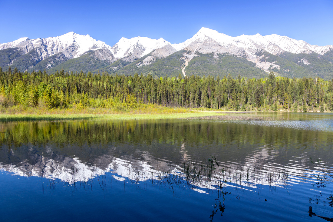 Dog Lake Dog Lake Very peaceful west shore of Dog Lake, looking across to snowy Mitchell Range
 |
|||
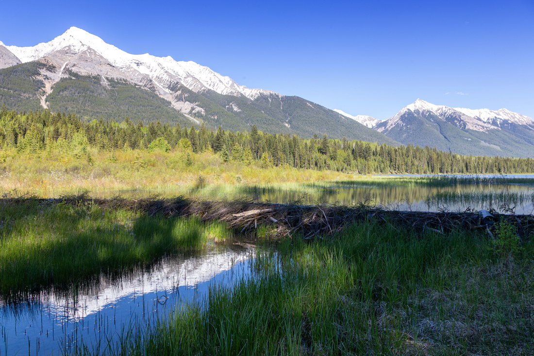 Beaver Dam Beaver Dam Very neat Beaver Dam at north end of Dog Lake. Mt. Harkin upper left corner
 |
|||
 East Kootenay Fire Road East Kootenay Fire Road Upper junction with East Kootenay Fire Road. Dog trail comes in from the right, by Park Table Sign
 |
|||
 Kootenay River Kootenay River Crossing Kootenay River back to McLeod Meadows on return with view of Mt. Kindersley (2697m)
 |
Abstract
| Overall Difficulty | D1/2 | Gentle trail with moderate elevation gain and no difficulties | |||
| Snow Factor | S1 | Low elevation forest enclosed trail with no avalanche risk, snow free early in season | |||
| Scenery | Kootenay River. Mitchell Range and Mt. Harkin. Wet Marshland and Beaver Dams at Dog Lake | ||||
| Trail/Marking | Excellent | Wide and well-defined park trail with marked junctions | |||
| Suggested Time | 3 hrs | Relaxed pace with East Kootenay Fire Road loop and ample break time | |||
| Elevation | Start: 1105m Max: 12700m Total: ~150m | Round Trip: ~7km (East Kootenay Fire Road Loop) | |||
| Gear | Light hikers are sufficient | ||||
| Water | Kootenay River and Dog Lake. Carry 0.5-1L, depending on season | ||||
| Dog Friendly | Yes | Please keep dogs on leash as this is very popular trail! | |||
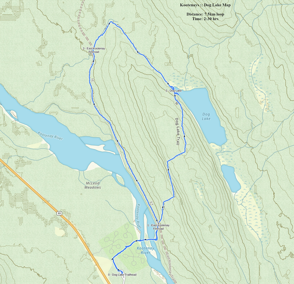 Dog Lake GAIA Map
 Dog Lake Elevation Profile
