Google Map |
Rockies :: Kootenays :: Boom Lake |
GPS Track |
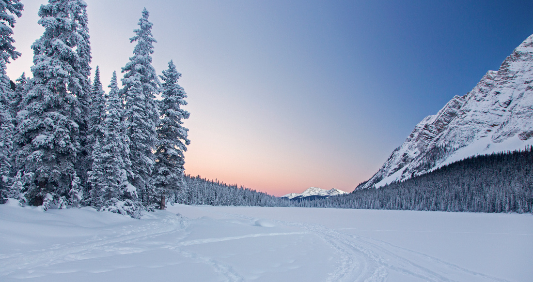 
Winter sunset on Boom lake looking SE towards Storm Muntain in the distance |
|||
| Trip Summary | |||
December 31, 2015Boom lake is one of most accessible back-country lakes along the Banff-Radium corridor. Trailhead is at the right (north) side of Hwy 93, some 10 minutes from the Castle Junction. Fairly large parking lot fills fast in summer months. Wide and gently angled trail leads in just above an hour of moderate pace to large cirque cradled between Mt. Bell to the north and Mt. Boom to the south. Trail ends about 1/3 of the way from east end of the lake, but there are several possible extensions. Scramblers will head up wide avalanche gully rising on the north side -- alternate Kane access for Mt. Bell. Rudimentary trail can also be found continuing on lake north shore, but soon it deteriorates in thickets of bush, deadfall and awkward side-hilling around small bays. Several primitive campsites and remnants of camp fires can be found here. In winter recommended option is to ski up on normally broken and consolidated trail, shared both with snowshoers and hikers. This is one of trips described in excellent Chic Scott guidebook "Ski Trails in the Canadian Rockies". Real benefit of winter trip is opportunity to cross frozen lake on skis -- much easier than booting or snow-shoeing as you just glide across! Takes about 30-40 minutes (~2 km, 1 way) to ski to west end of the lake. Neat icefall at bottom of avalanche gully directly below Mt. Bell is a must see! Only drawback is that in winter months sun is low on horizon and cirque is in shade from early afternoon -- start early. Beginner skiers might find first third of the trail fairly challenging on return as it is fairly steep with one sharp curve (near the trailhead). |
|
Gallery |
|||
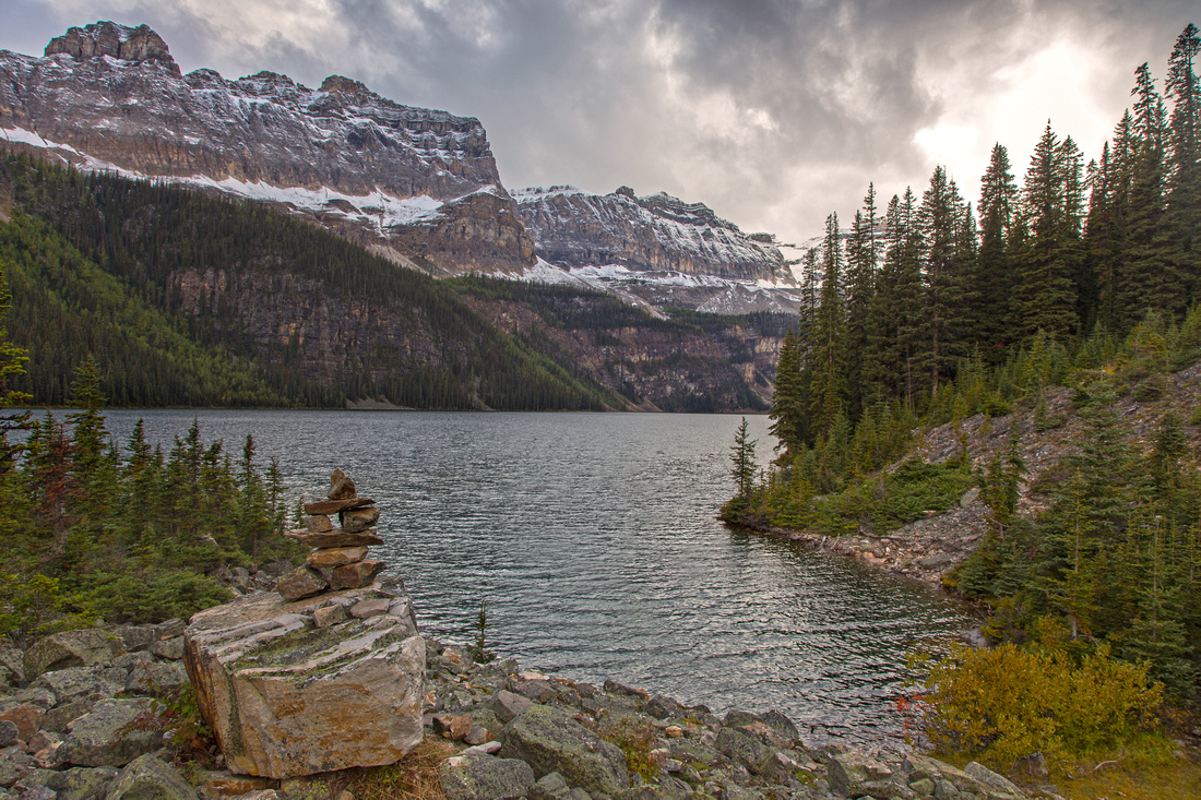 Boom Lake Boom Lake Classic view of Boom lake near the end of hiking trail
 |
|||
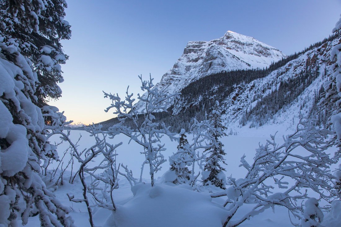
 Mount Bell Mount Bell Boom Mtn from bay below Mt. Bell in winter setting
 |
|||
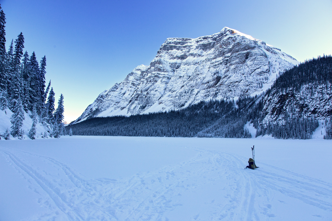
 Boom Mountain Boom Mountain Boom Mtn from west end of the lake in winter setting
 |
|||
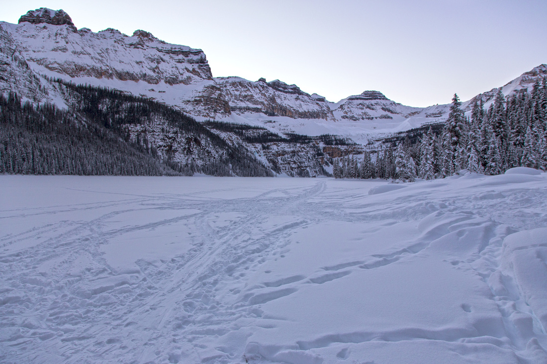 Classic View Classic View
Classic view of Boom lake from end of hiking trail in winter |
Abstract
| Overall Difficulty | D2 | Gentle trail hiking to the lake. More challenging continuing across boulders and around small bays on north side | |||
| Snow Factor | S2 | Trail is in trees and avalanche risk low. Possibility of minor deadfalls | |||
| Scenery | Trail is mostly tree covered, but lake is fantastic. Great views of Mt. Bell, Boom as well as Bident/Quadra from Moraine group | ||||
| Trail/Marking | Excellent | Wide and well-defined park trail | |||
| Suggested Time | 3 hrs | Return time in relaxed pace to the end of marked trail. Add 1-2 hours for further exploration or full day for optional Kane scramble up Mt. Bell | |||
| Elevation | Start: 1730m Max: 1940m Total: ~250m | Round Trip: ~10km (to the lake) | |||
| Gear | Light hikers are sufficient. X-country or ski touring skis in winter | ||||
| Water | Lake water and small streams, but no reliable source. Take 1L | ||||
| Dog Friendly | Yes | Please keep dogs on leash as this is very popular trail! | |||
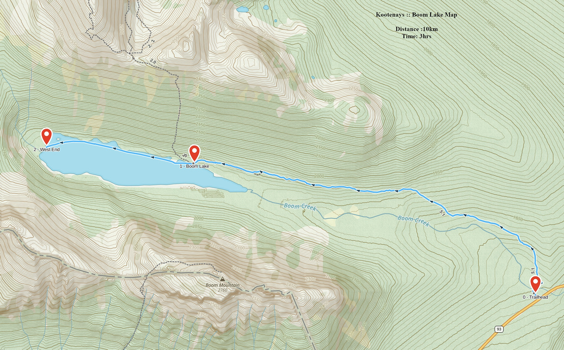 Boom Lake GAIA Map
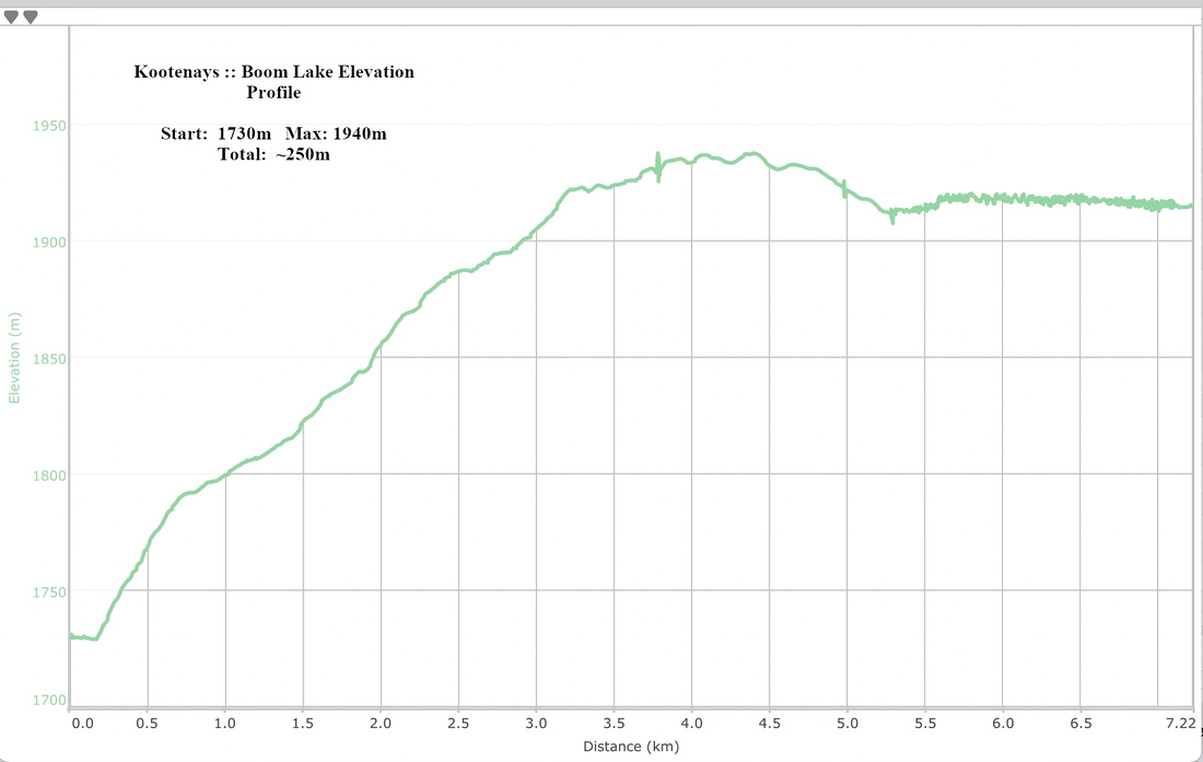 Boom Lake Elevation Profile