Google Map |
Rockies :: Icefields :: Nigel Pass |
GPS Track |
|
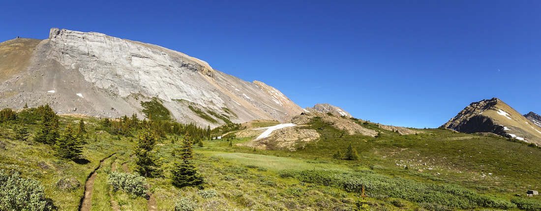
Trail approaching Nigel Pass. Brazeau loop / South Boundary continues left, Cataract Pass / White Goat right |
|||
| Trip Summary | |||
July 26, 2020Nigel Pass is premier Icefields summertime alpine area. Trail is more frequently used as approach to classic Brazeau loop or Jasper South Boundary multi-day backpack trips, but it is also acceptable day-hike destination. Vast alpine environments at the Pass are spectacular and well-worth spending couple of hours walking around and soaking up the views. Trail is gentle and there are no difficulties; only -unavoidable- drag is initial 1.7 road walk to Parks Canada Camp Parker. Options for further exploration include venturing up Brazeau canyon towards White Goat Wilderness. Parking is at east side (right, if coming from south) of Icefields Parkway, few minutes up from Big Bend. In prime summer season sometimes it fills completely. Trail kiosk is left of the gate at lower end. Walk 1.7km access road to signed Brazeau Valley trailhead (2nd photo in gallery) passing horse corrals along the way This part is quite boring, but mercifully short. Past the junction trail descends through pretty stretch of forest next to Ranger cabin and crosses Hilda and Nigel creeks in short succession. These bridges sometimes get washed out during runoffs but are usually quickly repaired by Parks Canada. Rest is undemanding wondering through mix of semi-open forest and meadows with constantly improving views. There are couple of side creek crossings that do not present problem, but trail can be occasionally muddy. Final rise to the Pass, seen more like a long ridge, is bit steeper but short lived. On the other side trail crosses Brazeau river but if only day-hiking do not descend; explore Nigel Pass environs instead. Worthy extension is wondering up Brazeau River on unmaintained Cataract Pass trail; very scenic section is reached within 10-15 minutes only. Cataract Pass itself can be reached as a long day hike from Icefields Parkway, but area is better suited for overnight trip. Return is the same way |
|
Gallery |
|||
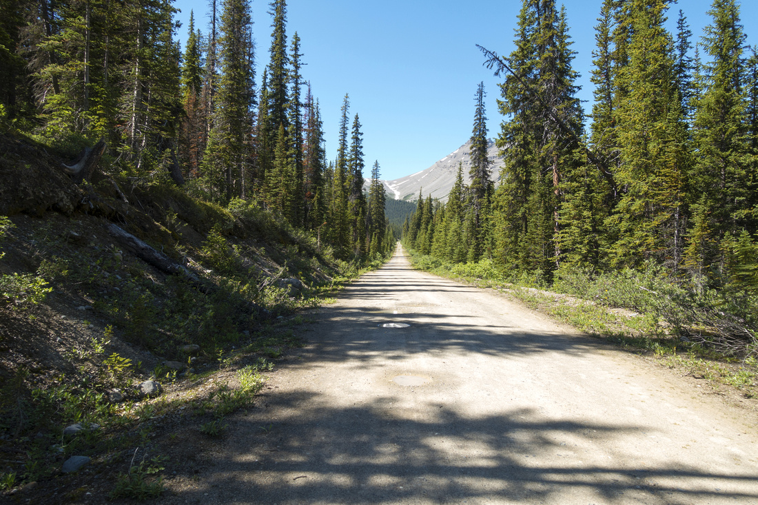 Camp Parker Roadwalk Camp Parker Roadwalk Initial 1.7km (1-way) roadwalk to Camp Parker
 |
|||
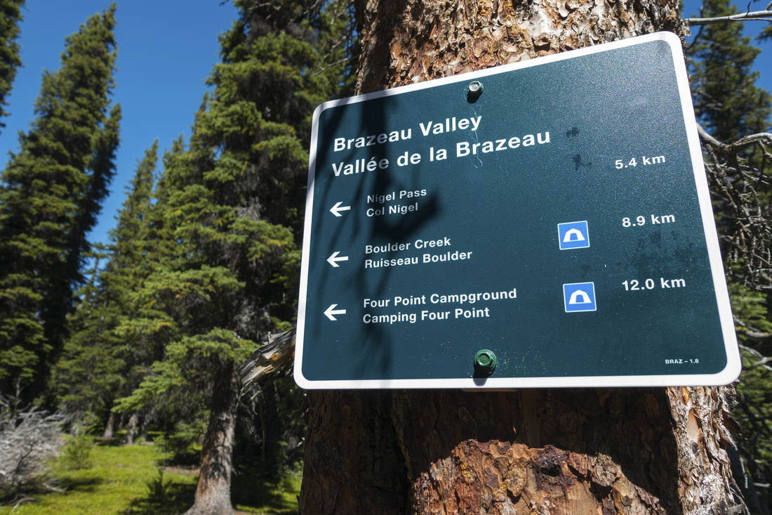 Brazeau Trailhead Brazeau Trailhead Camp Parker Brazeau Trailhead at end of road
 |
|||
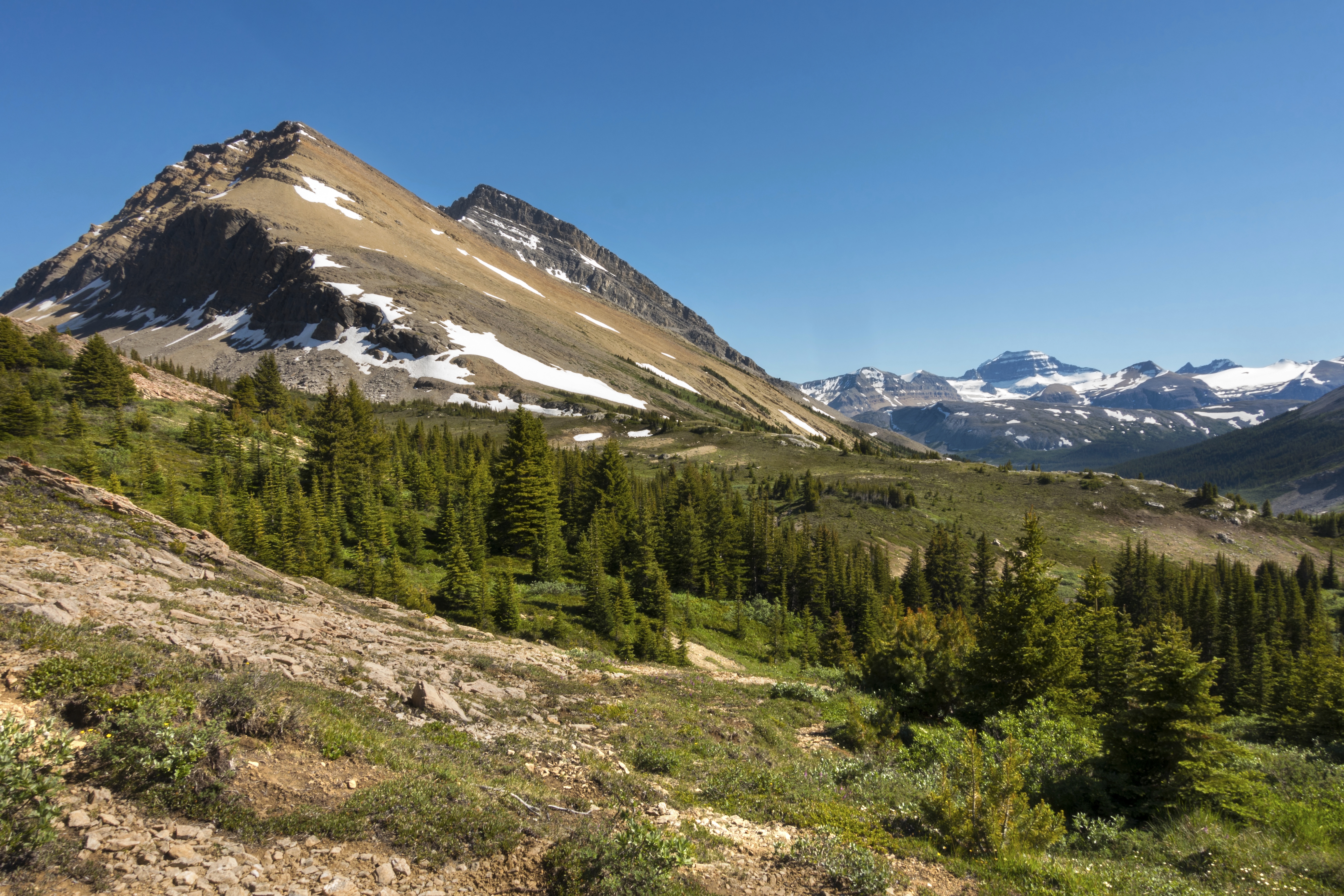
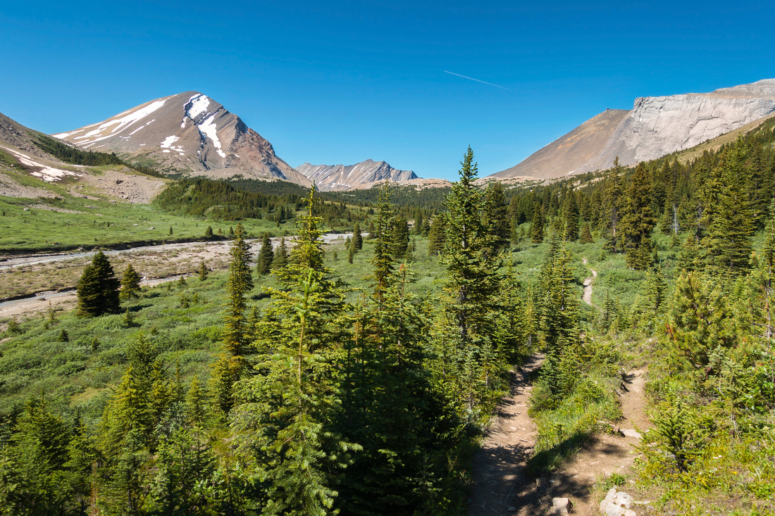 Nigel Creek Valley Nigel Creek Valley Typical section of trail as it crosses alpine meadows interspersed with low growth pine trees. Nigel Pass dead center
 |
|||
 |
|||
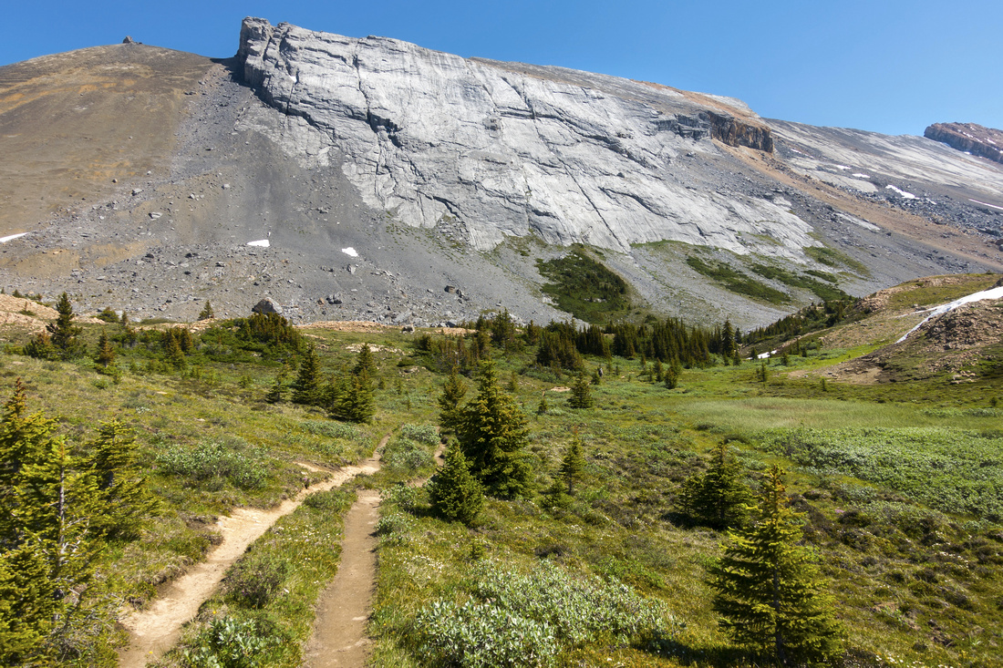 Nigel Pass Nigel Pass Nigel Pass. If not planning any extensions do not continue further as trail descends to Brazeau river crossing. Turn left and explore vast meadow instead, that even has tarn at far end
 |
|||
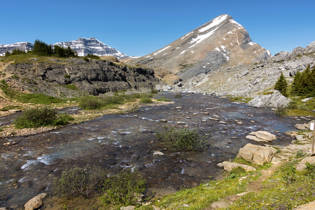 Brazeau River Crossing Brazeau River Crossing Brazeau River crossing below Nigel Pass (far left) looking back. Brazeau loop / South Boundary continues on the right side. Nigel Peak snowy cliffs center left
 |
Abstract
| Overall Difficulty | D3 | Mostly gentle trail hiking with moderately steep but short lived ascent to the pass. Bridged crossing of Hilda and Nigel creeks at Parks Canada Camp Parker. Couple of minor side creek rock hop crossings. | |||
| Snow Factor | S2 | Good candidate for snowshoe/cross-country ski trip. Gently sloping south slopes with mild avalanche danger. | |||
| Scenery | Prime Summertime Alpine meadows with wildflowers late July/August. Nigel Peak, Mt. Saskatchewan / Parker Ridge and several others Icefields area peaks | ||||
| Trail/Marking | Excellent | Official park trail with signposts and bridged creek crossings | |||
| Suggested Time | 5-6 hr | Return time to Nigel Pass with casual pace. Add 1-2hr for exploring alpine meadows at the pass or venturing into Brazeau canyon or further east towards South Boundary | |||
| Elevation | Start: 1900m Max: 2200m Total: ~400m | Round Trip: 16 km (incl. Camp Parker roadwalk) | |||
| Gear | Day Hikers sufficient in summer conditions | ||||
| Water | Hilda and Nigel creek at Camp Parker (silty from snow melt till late in summer). Side Creeks and Brazeau River at the Pass. No need to carry more than 1L | ||||
| Dog Friendly | Yes | Standard back-country precautions. Trail is busy & keep good control of your pet for consideration to other trail users | |||
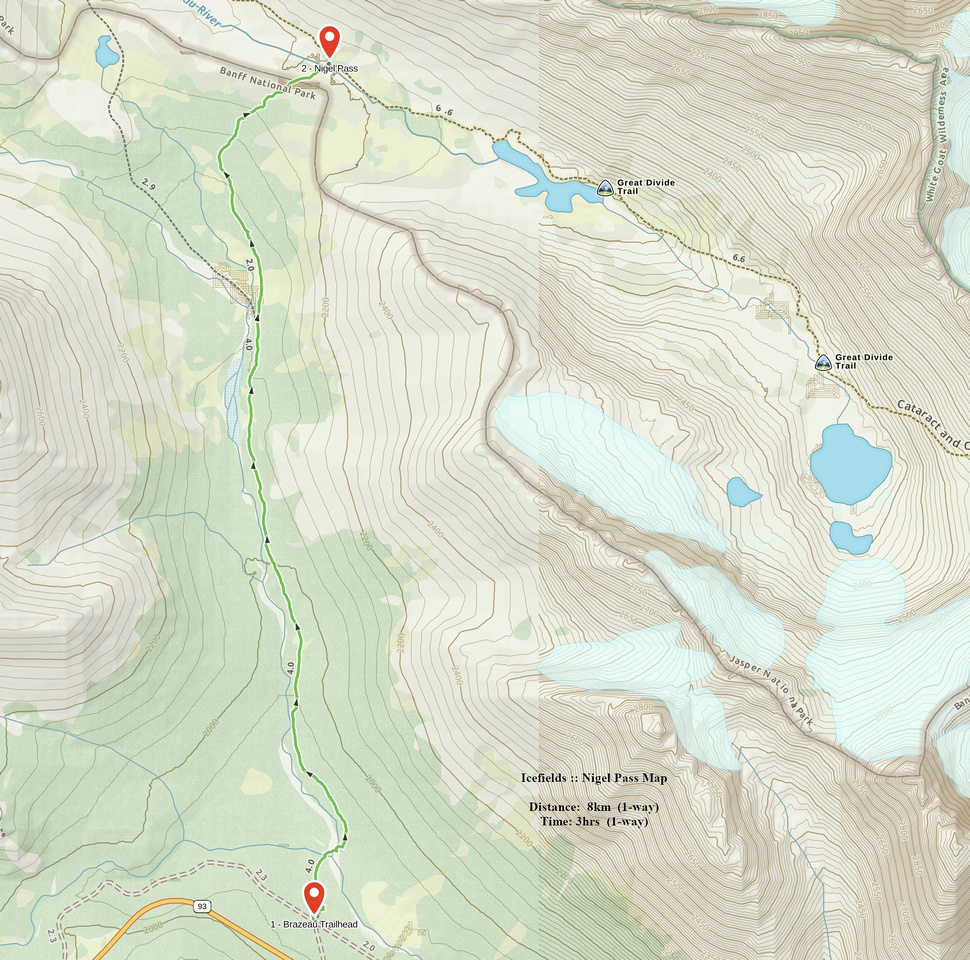 Nigel Pass GAIA Map
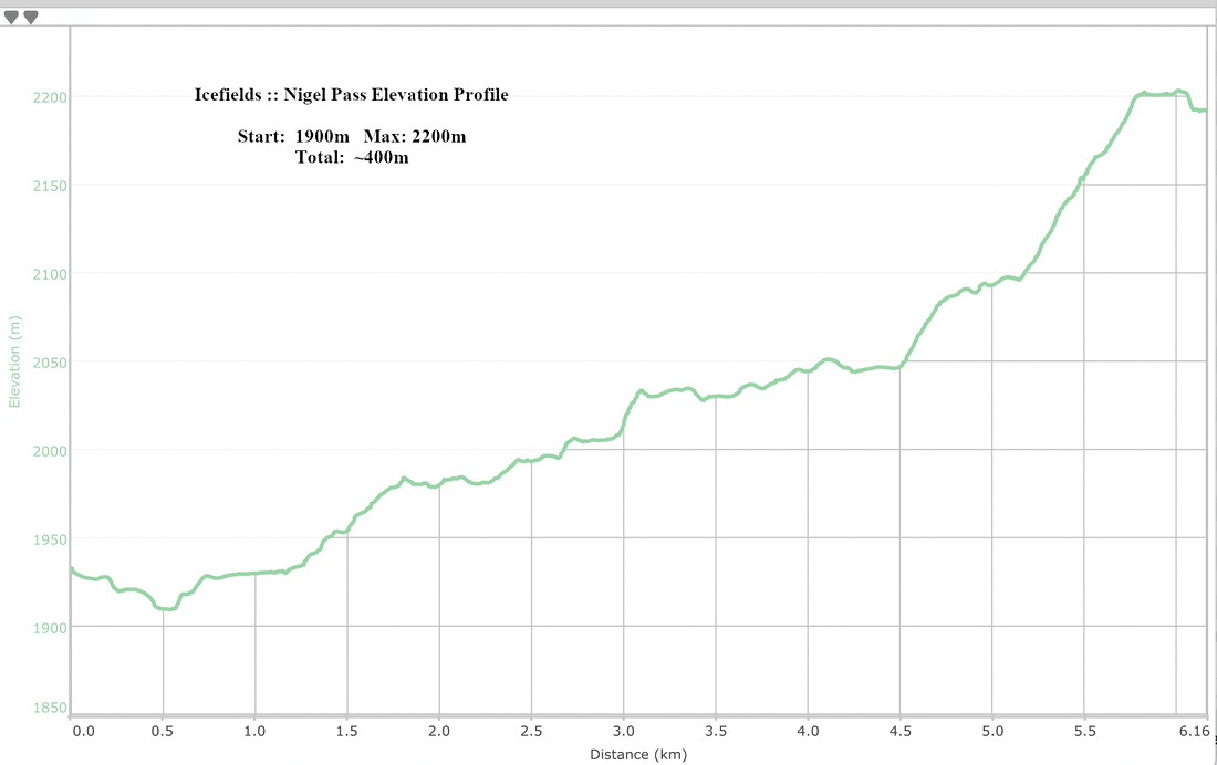 Nigel Pass Elevation Profile
