Google Map |
USA :: Phoenix :: Sunrise Peak |
GPS Track |
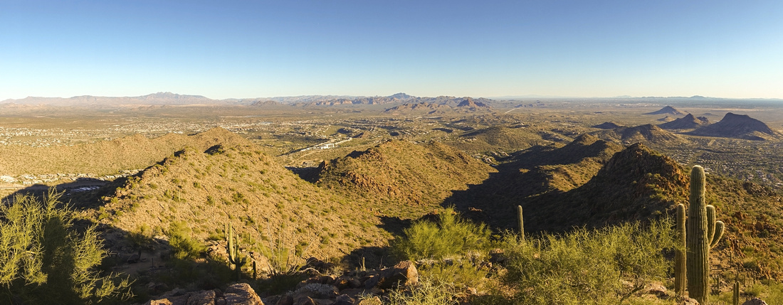 Summit Panorama Summit Panorama
Panoramic View East from Sunrise Peak summit towards distant Superstitions |
|||
| Trip Summary | |||
December 18, 2021
Sunrise Peak is very scenic half-day trip in North Scottsdale McDowell Sonoran Preserve. Several trails lead to the summit; official Sunrise Trail comes in from the east, while I opted for longer, but more scenic approach starting from Lost Dog Wash trailhead to the west. With 2 cars traverse is logical and recommended option; distance between trailheads in ~5miles, so it can also be cycled. There is also "136th Street Spur" that joins Lost Dog Wash trail at lower saddle, but is apparently quite rough & not recommended. On my trip I hiked in/out from Lost Dog Wash and found whole trip to be very pleasant, in particular awesome sunset colors on descent. Note that Sonoran Preserve closes the gate after the sunset (time posted), but outbound drivers won't get locked out as gate sensor will open for exiting cars; this might change in the future, so don't rely on this info 100%. Also note that I've done the hike in December, which is prime desert hiking time. In summer heat conditions are much different; mid-day trips are out of question and only early morning / late afternoon might be feasible. Take plenty of water; water filling stations are available at Lost Dog Wash trailhead.
Quickest access to Lost Dog Wash parking is from Ring Road 101; take east Shea Boulevard exit, then after ~5-6 miles on Shea 124 St North to the end. First part of trail rises gently in typical desert environment towards obvious saddle on horizon. Peak to the right is unnamed and not the summit. At saddle (45 min to an hour from trailhead) trail swings to the left and contours desert slopes dotted with Saguaro cacti towards second saddle; direct trail from the east joins here. Final bit is short rise to Sunrise summit; last bit is bit more rough and steeper, but short lived. This is popular peak but most people will converge on west side; I found that by dropping a bit to the east more solitude can be found. Summit panorama is fantastic; sunset/sunrise are likely quite spectacular too.
|
|
Gallery |
|||
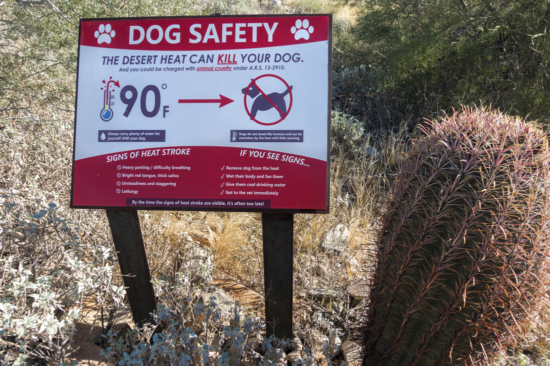 Canine Heat Advisory Canine Heat Advisory Heat Advisory near Lost Dog Wash Trailhead. Summertime temps in the desert can be deadly
 |
|||
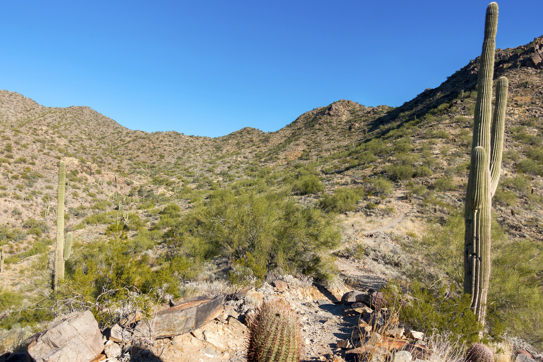 Lower Trail Lower Trail Section of lower trail rises towards saddle just left of center. Most hikers seem to turn back there
 |
|||
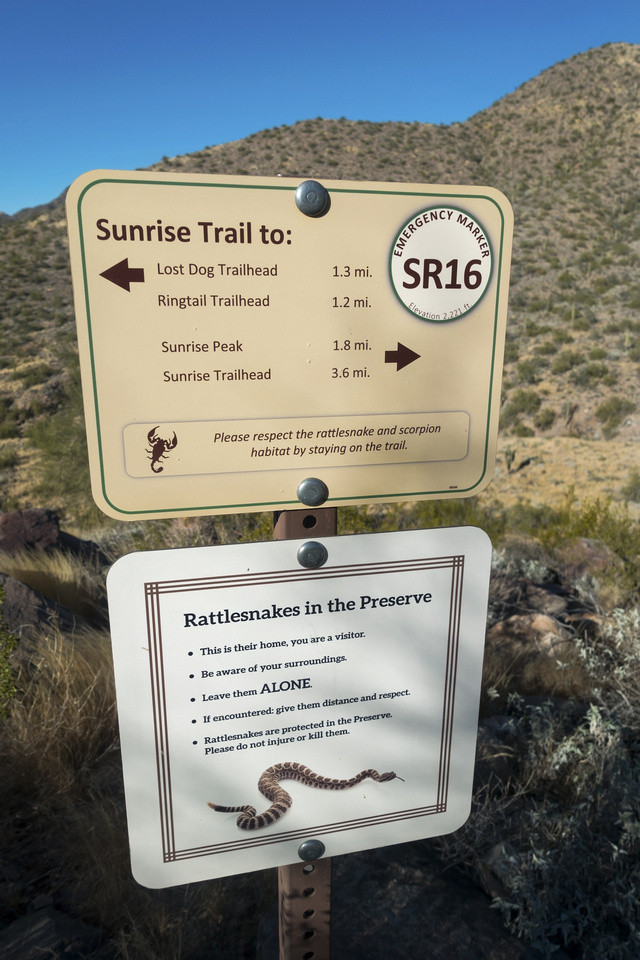 Trail Markings Trail Markings Trail is exceptionally well marked with signed junctions. For someone used to Canadian Rockies rattlesnake warning is quite interesting
 |
|||
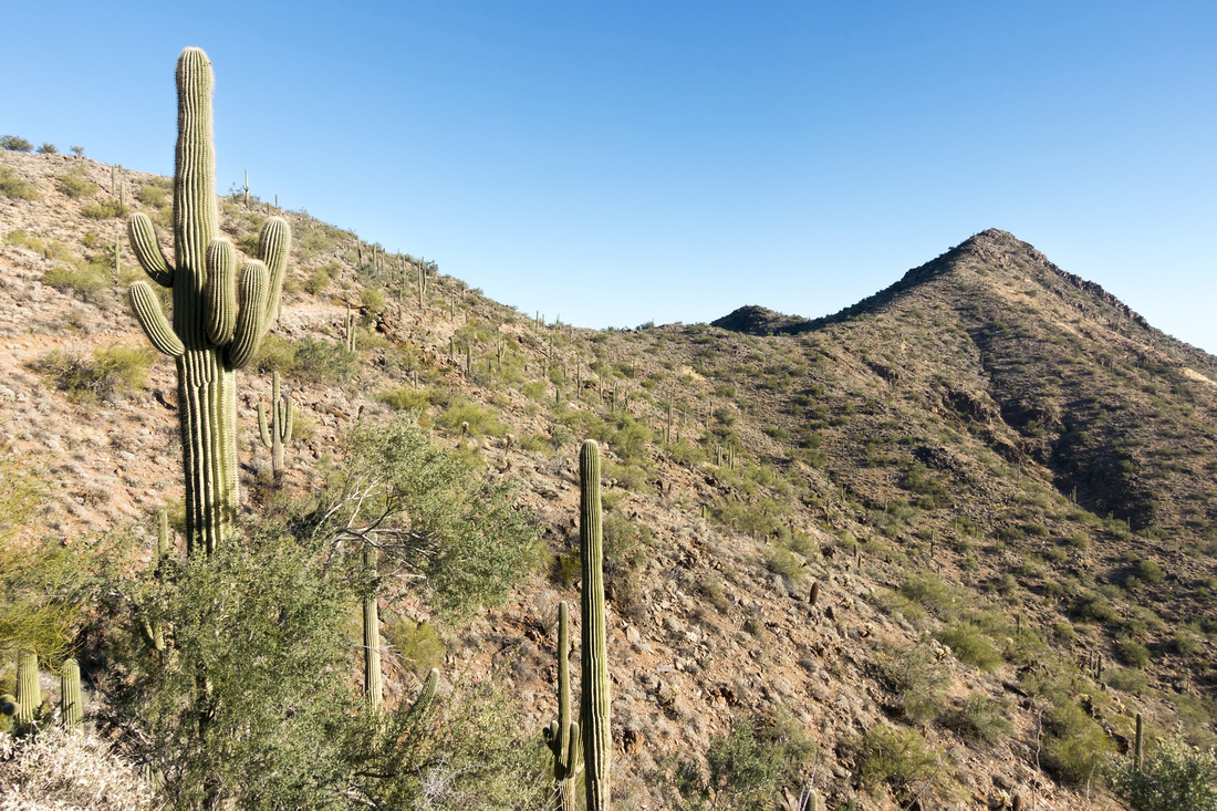 Ridge Trail Ridge Trail Elegant section of trail past first saddle approaching Sunrise Peak (upper right). Obvious ridge is followed to the top and only final part is bit more steep
 |
|||
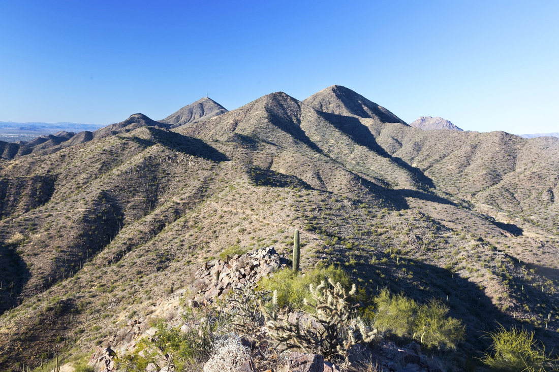 Sonoran Preserve Sonoran Preserve View west from Sunrise summit. Lost Dog Wash approach is center left, while direct east side trail is on the right side. With two cars loop is recommended option
 |
|||
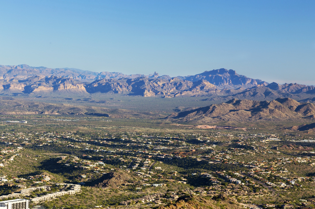 Distant Superstitions Distant Superstitions Telephoto towards Superstition Mountains from the summit. Prominent feature distant center is famous Weavers Needle
 |
|||
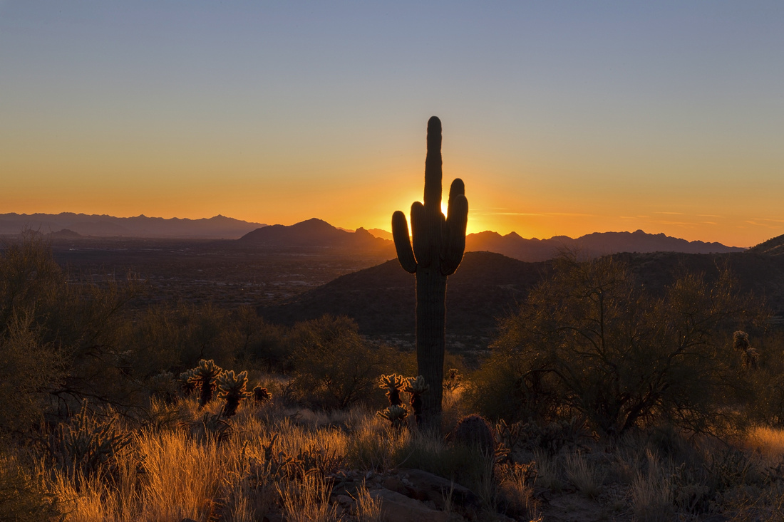 Saguaro Sunset Saguaro Sunset Beautiful Light as sun sets behind trademark Saguaro Cactus on descent
 |
Abstract
| Overall Difficulty | D3 | Some rocky sections. Final bit before summit is steeper but short lived. No shelter - entire trail is exposed to sun/weather | |||
| Scenery | Beautiful 360 views across Phoenix valley and Sonoran Desert from the top. Trademark Saguaro Cactus and other Desert Vegetation | ||||
| Trail/Marking | Excellent | Well defined trail with all junctions marked and distances given by Sonoran Preserve. Trail runner friendly | |||
| Suggested Time | 4hrs | For Out-and-back from Lost Dog Wash. Direct approach from the west is shorter; 1-way traverse will be shorter | |||
| Elevation | Start: 530m End: 925m Total: ~410m (Lost Dog Wash OnB) | Round Trip: 10 km (Lost Dog Wash OnB) | |||
| Gear | Day hikers. Hiking poles helpful for stability on rocky sections | ||||
| Water | No water available beyond trailhead; 1L will suffice in winter, in summer heat even 3L won't be enough | ||||
| Dog Friendly | Yes | Assuming no extreme heat -- see advisory photo in Gallery | |||
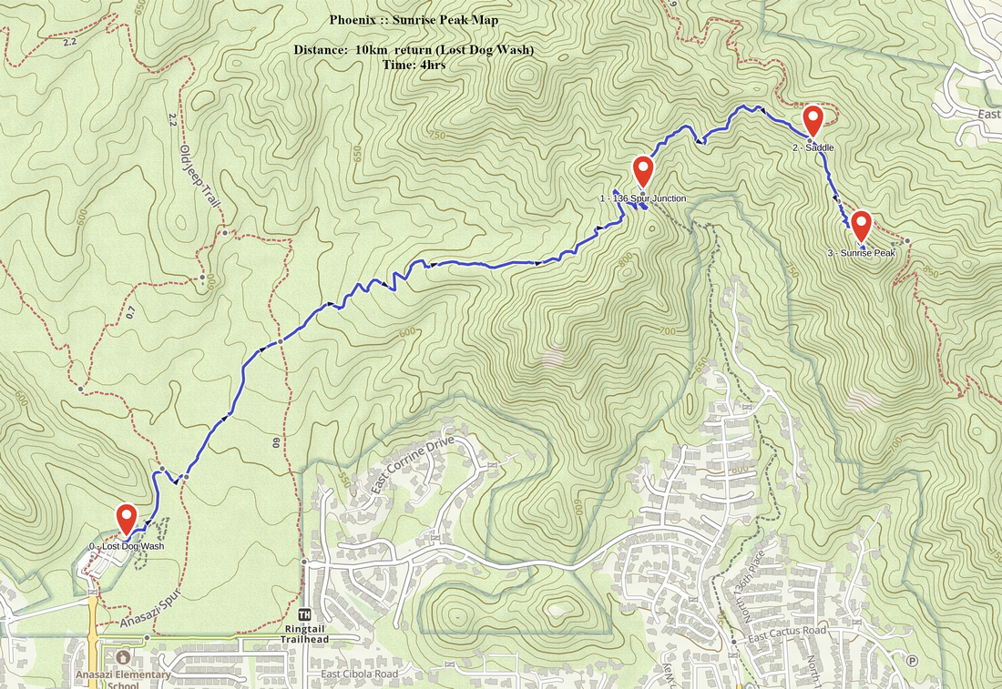 Sunrise Peak GAIA Map
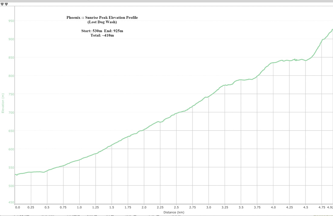 Sunrise Peak Elevation Profile