USA :: Phoenix :: Piestewa Peak |
|
Sun setting behind metro-Phoenix valley from Piestewa Peak |
|||
| Trip Summary | |||
December 22, 2021
Most metro areas have their version of Vancouver Grouse Grind, and in Phoenix it is Piestewa Peak (and Camelback - if you can actually get to trailhead). Highest point on Phoenix Mountain Preserve Piestewa attracts record number of urban hikers year-round. According to hiking guidebook Piestewa Summit Trial is second busiest in Arizona, after Grand Canyon Bright Angel. There are less busy trails in preserve, but just like you have to do Grouse Grind once, you have to do Piestewa if you are in Phoenix as well. Proper mindset is important, as there is constant river of urban hikers going up/down, well below sunset. Views are nice and with little improvisation solitude can be found behind rock outcrops off main trail.
Trailhead is first parking area past Park gate; if busy, space can usually be found at picnic areas further up the road - as well as parking area before the gate, which closes daily at 7pm. Trail is stone staircase most of the way, but there are also some dirt areas as well as sections with sharp rock in trail bed. At top of first set of switchbacks is signed Freedom trail junction - turn right and continue along the ridge (as seen from parking - see gallery) towards the top. Final bit is more rough and there are couple of sections with handrail. Twin summits are slightly scrambly; what makes matter worse is bad crowd infestation. On my hike I just tagged both summits then scooted down and found sheltered spot to enjoy the sunset in solitude.
Alternative to all this madness is Freedom trail that loops around Piestewa. You miss aerial views, but you get solitude and classic desert landscapes. Both can easily be done at the same time. And of course, just like with most other trips in this part of the world, hike only in the morning or evening in summer heat days. |

|
Gallery |
|||
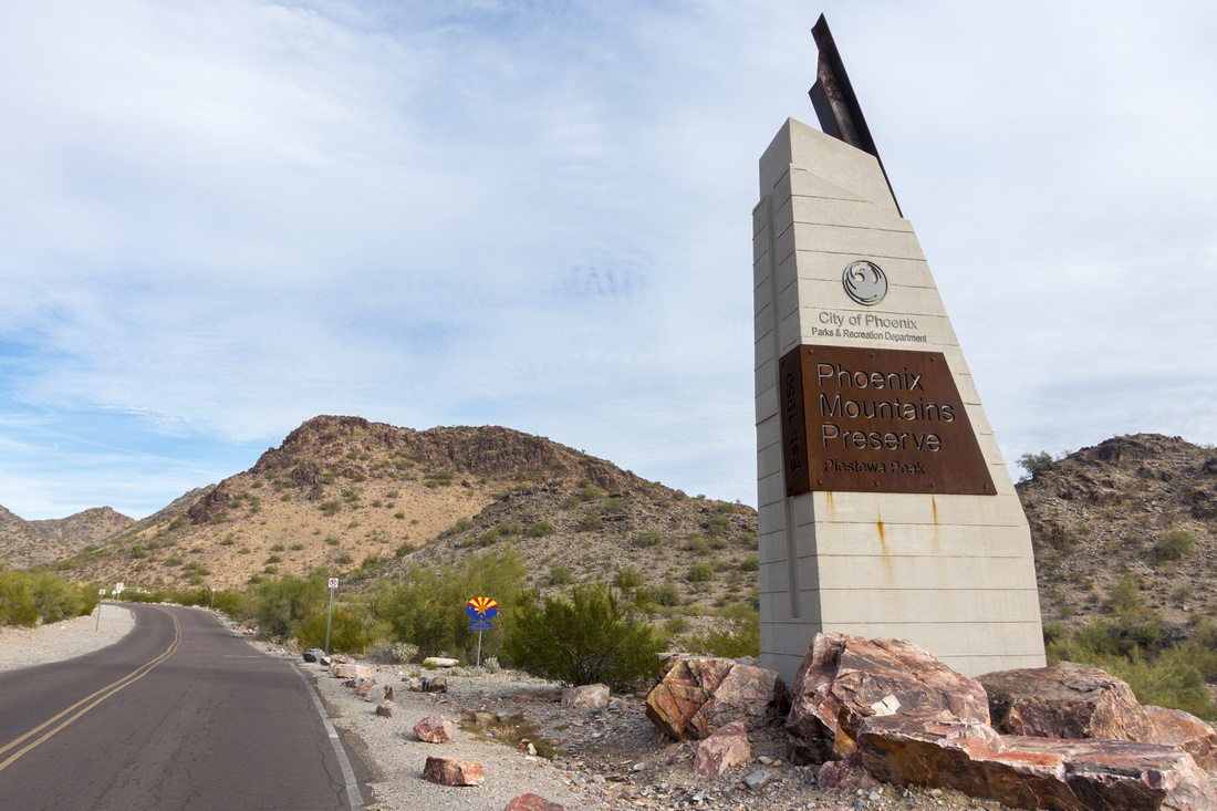 Phoenix Mountain Preserve Gate Phoenix Mountain Preserve Gate Road Entrance to Phoenix Mountains Preserve along Piestewa Road; gate is ~50m further up
 |
|||
 |
|||
 Piestewa Trailhead
Piestewa Peak, upper center right, from main parking area. Trail switchbacks slopes center-left, then ascends skyline ridge Piestewa Trailhead
Piestewa Peak, upper center right, from main parking area. Trail switchbacks slopes center-left, then ascends skyline ridge |
|||
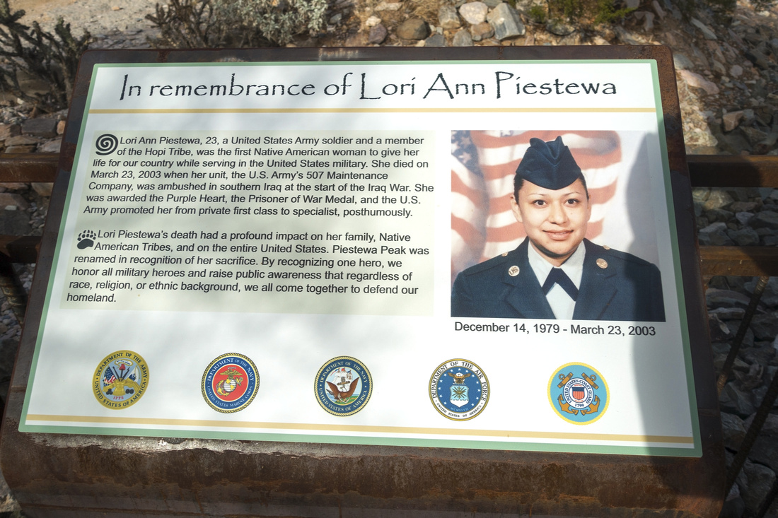 Piestewa Memorial
Memorial to Lori Ann Piestewa, first Native American that died serving US Military. Peak was renamed in recognition to her sacrifice Piestewa Memorial
Memorial to Lori Ann Piestewa, first Native American that died serving US Military. Peak was renamed in recognition to her sacrifice |
|||
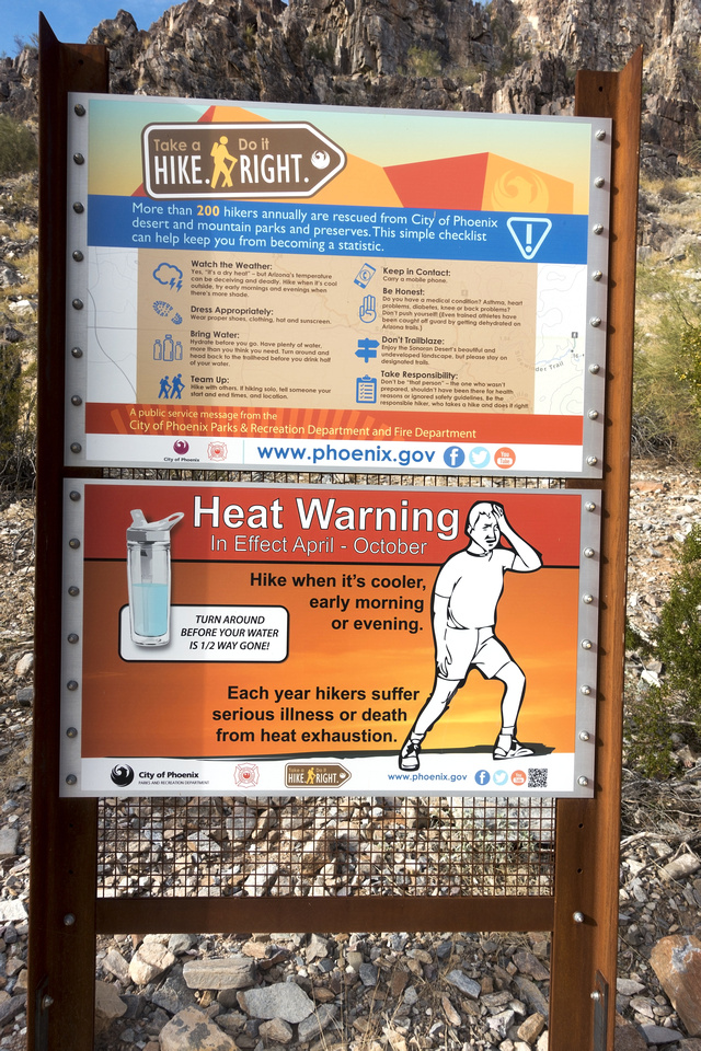 Heat Warning
 Table at Piestewa Trailhead - summer temps often exceed 40 Celsius in mid-day Heat Warning
Heat Warning Table at Piestewa Trailhead - summer temps often exceed 40 Celsius in mid-day |
|||
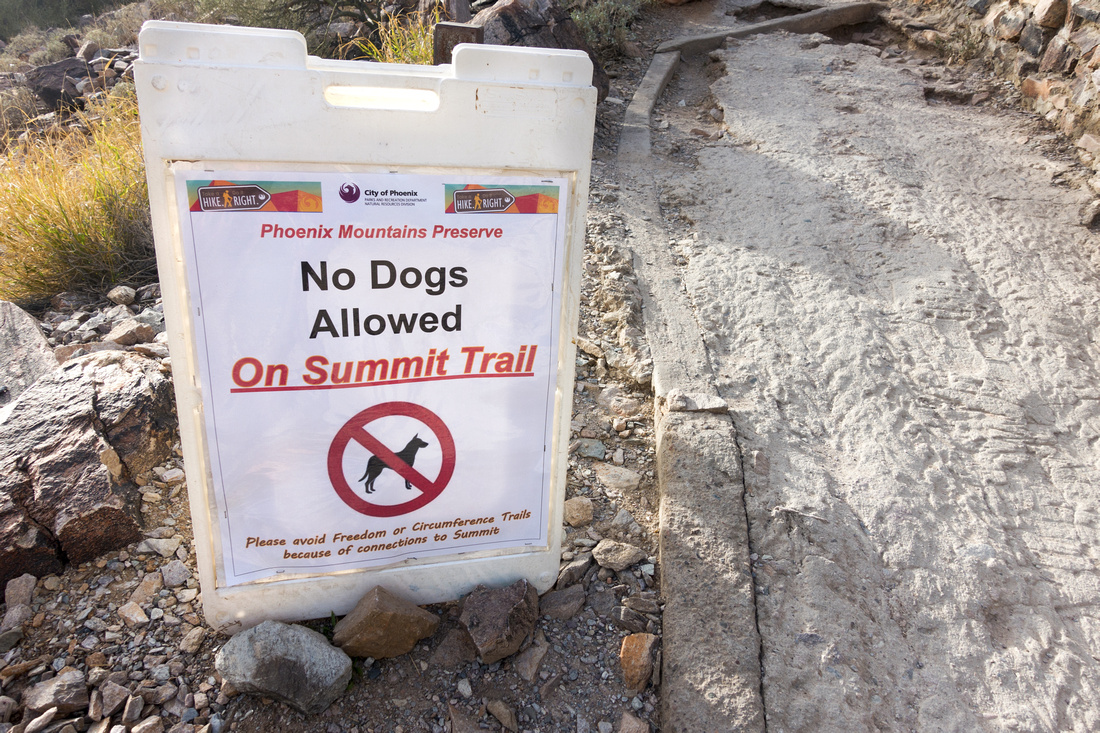 No Dogs Allowed
Dogs are not allowed on Piestewa Summit Trail due to heavy human traffic No Dogs Allowed
Dogs are not allowed on Piestewa Summit Trail due to heavy human traffic |
|||
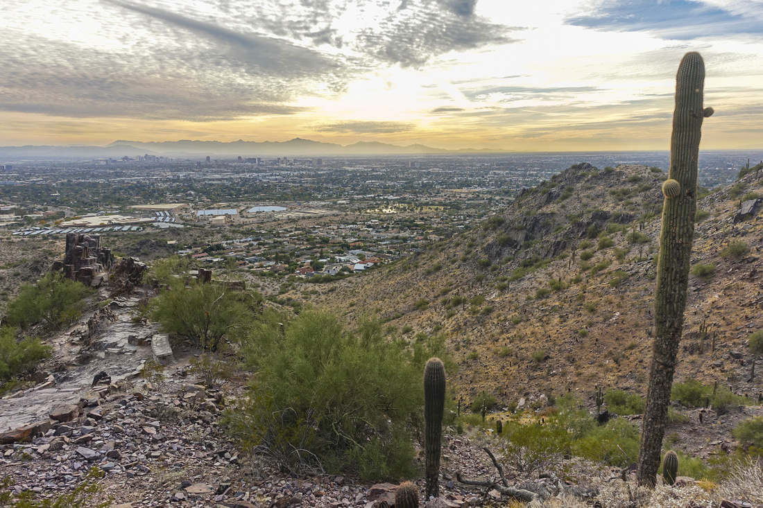 Phoenix Scenery
Looking back to Phoenix valley from mid-bench just past Freedom Trail junction Phoenix Scenery
Looking back to Phoenix valley from mid-bench just past Freedom Trail junction |
|||
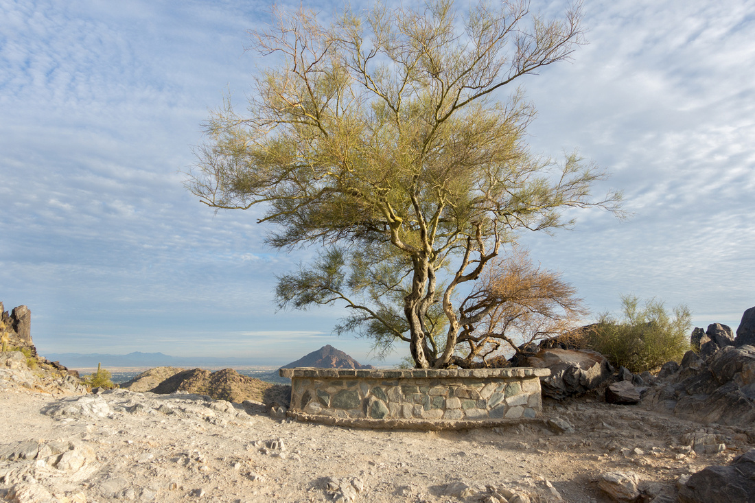 Rest Area
Nice Rest area below final summit block; pointy peak behind is infamous Camelback Rest Area
Nice Rest area below final summit block; pointy peak behind is infamous Camelback |
|||
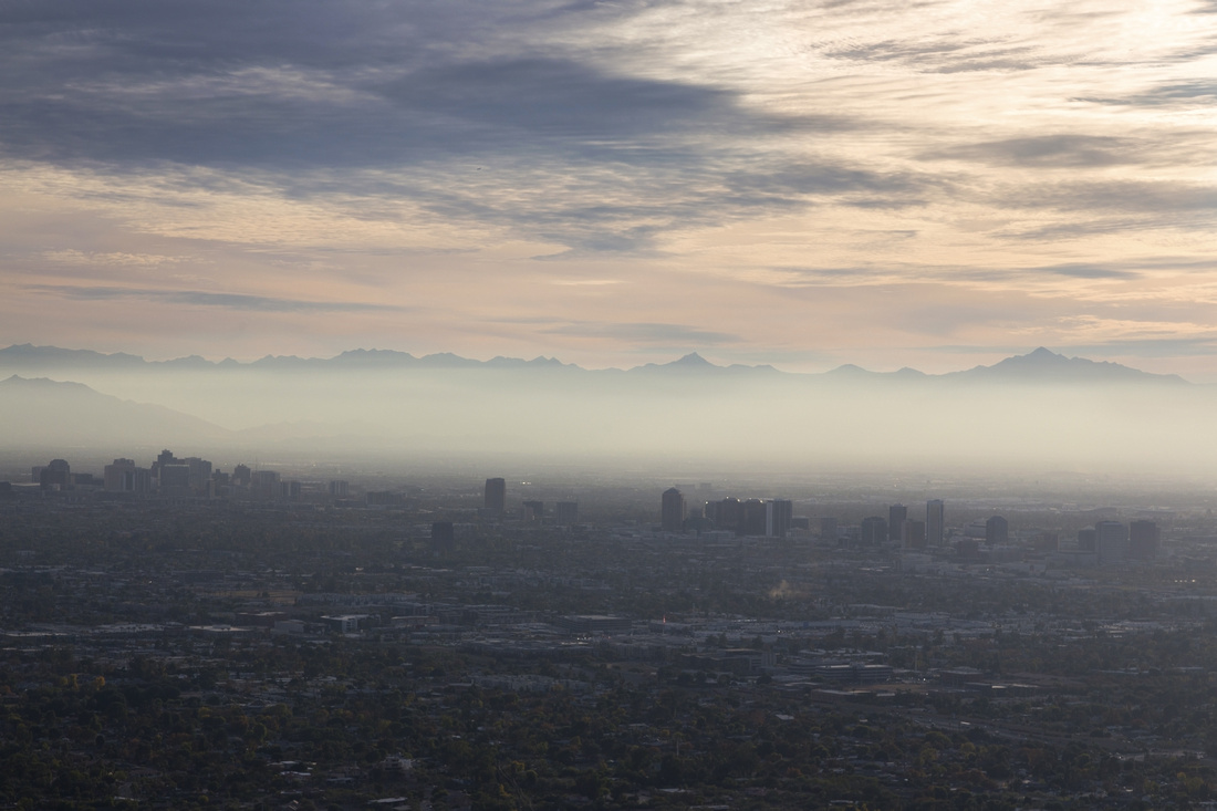 Phoenix Smog
Smog filled metro-Phoenix area; not letting the car idle when stopped is not familiar concept in US Phoenix Smog
Smog filled metro-Phoenix area; not letting the car idle when stopped is not familiar concept in US |
|||
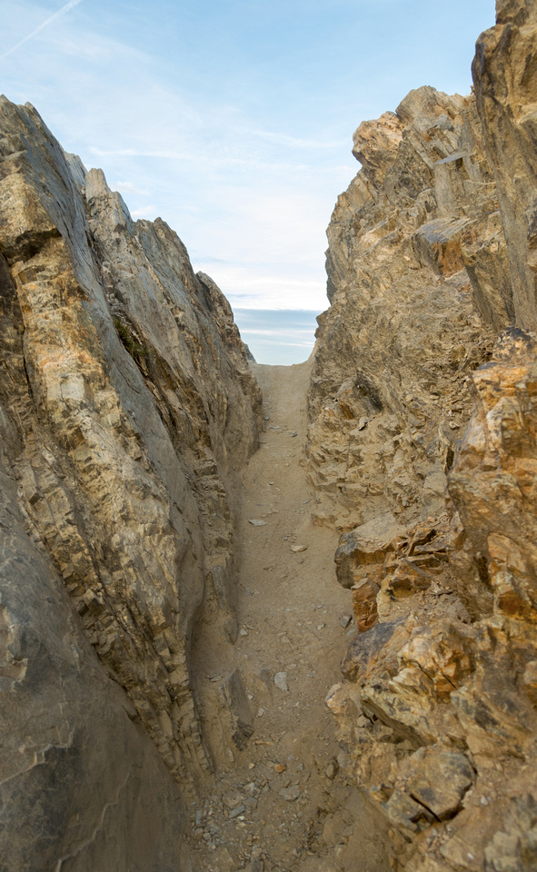 Gully Exit
Dirt filled gully between two summits of Piestewa. This bit is bit scrambly, and traffic jams actually make it bit awkward Gully Exit
Dirt filled gully between two summits of Piestewa. This bit is bit scrambly, and traffic jams actually make it bit awkward |
|||
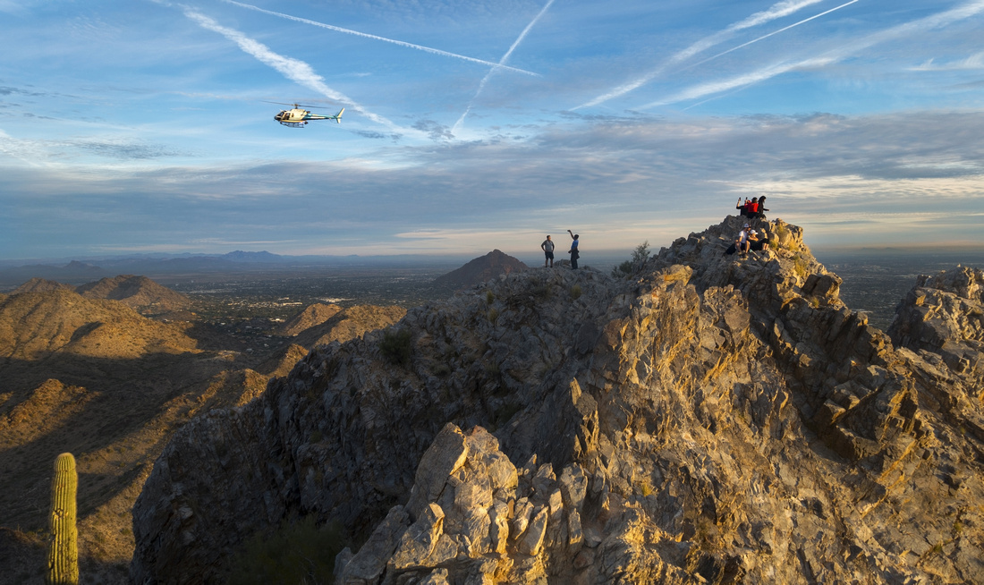 Piestewa Summit
East Summit from West; note crowds Piestewa Summit
East Summit from West; note crowds |
|||
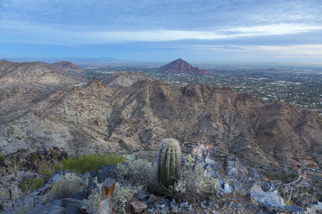 Camelback Dusk
Infamous Camelback from ledge below Piestewa Summit; note park road ~400m below Camelback Dusk
Infamous Camelback from ledge below Piestewa Summit; note park road ~400m below |
Abstract
| Overall Difficulty | D3 | Moderately steep trail start-to-end with stone staircase most of the way. Final exit to twin summits is bit scrambly and crowd infestation can make it bit awkward | |||
| Scenery | Aerial view of wider metro-Phoenix area and Phoenix Mountain Preserve. Sunsets can be quite pretty | ||||
| Trail/Marking | Excellent | Official Trail 300 with trailhead map and signed junctions | |||
| Suggested Time | 2hrs | Moderate pace including 15min break at the top (or below, to avoid crowds) | |||
| Elevation | Start: 425m End: 810m Total: ~400m | Round Trip: 3.5km | |||
| Gear | Day hikers. Poles helpful, but will probably look out of place with all urban crowds around | ||||
| Water | No reliable water source. 1L in winter, in summer heat 2-3L | ||||
| Dog Friendly | No | Official trailhead sign officially prohibits canine traffic because of heavy human traffic | |||