Google Map |
Rockies :: Banff-Louise :: Mt. Richardson |
GPS Track |
|
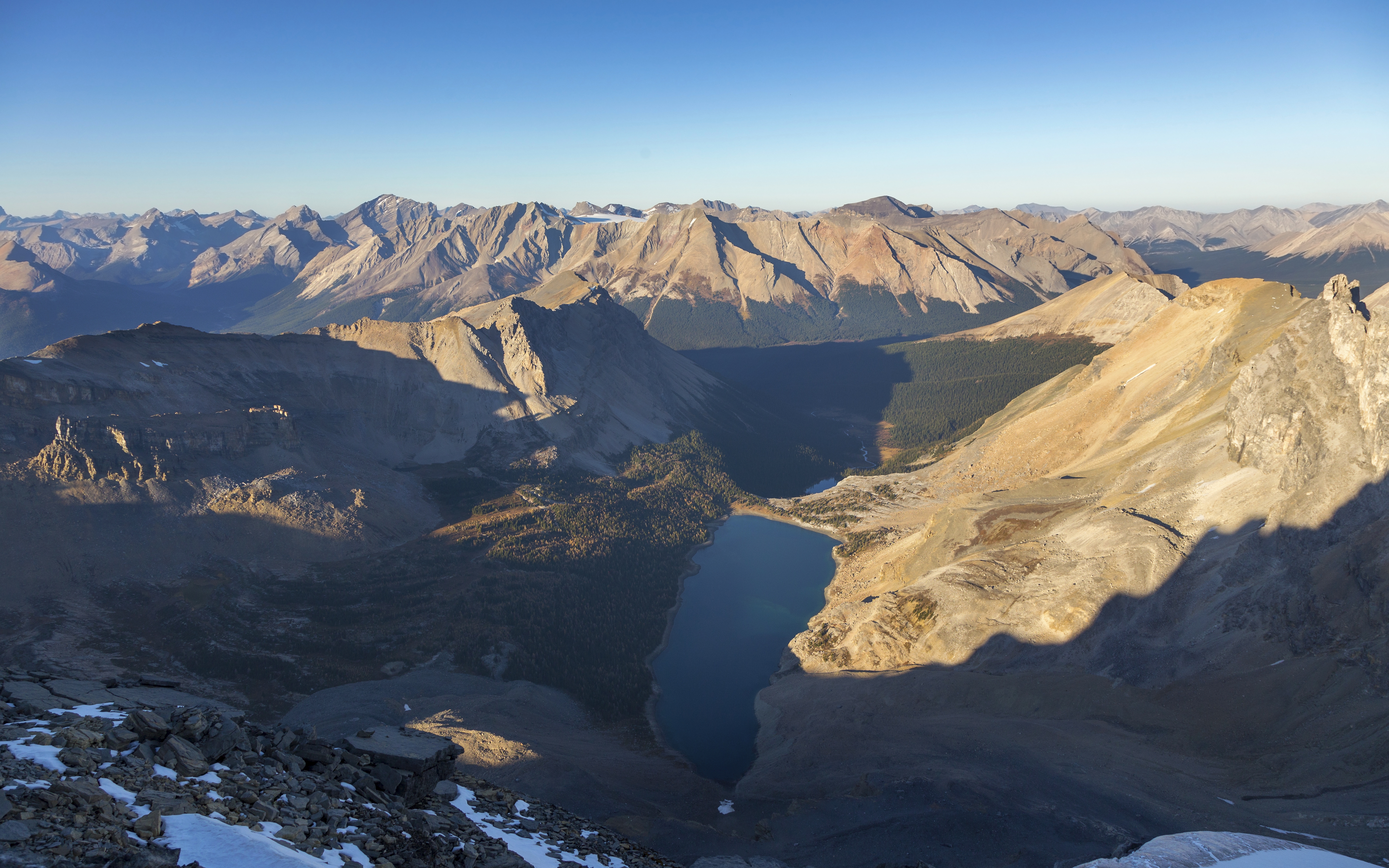
Terrific view of Mt. Richardson (upper left) and Pika Peak (upper right) from Hidden Lake |
|||
| Trip Summary | |||
October 2, 2020
Mt. Richardson is favorite Skoki scramble. Trip is best done as Autumn golden larch hike. Technically the ascent is mostly off-trail hiking but summit is over 3000m and cumulative elevation gain is significant. Only difficulty is steep grass/talus slope above Hidden Lake. Winter ascent in stable compact snow conditions has been done. Optional return via steep drop to saddle below Pika Peak is mountaineering, and despite being mentioned in Kane scrambles book should be avoided. Trip is feasible as day out-and-back hike from Fish Creek parking, or as overnight trip from Hidden Lake campground 'base camp'.
Initial part is standard Skoki approach via Temple access road, followed by hike to Halfway Hut junction (1.5 hr of fast pace on foot, less if cycling or hitching a ride). Continue left to Hidden Lake past SK5 official Parks Canada backcountry campground and follow trail to west side where it ends on grassy terrace. Goal is to scramble ridge above; there are many ways to do it, and generally staying left is easier - but do not go too far left, as it will necessitate some moderate scrambling along rotten ridge crest to rejoin normal route. Use GPS track if in doubt: aim for Waypoint 4 - Richardson Ride. Once on the ridge cairned trail develops and leads easily over couple of bumps, then contours on climber left before emerging to flat bench below summit block. Number of trails lead up and only difficulty is crumbling rock band in upper part. Aim for climber left and scramble easily, finishing with good trail that zig-zags to summit plateau. Large cairn / wind shelter is NOT the summit (although most people probably turn back right here!). Continue instead for another 5 minutes to north end, taking care at narrow part -- it drops steeply on west side, while east side is glaciated. Despite benign appearance fatality has occurred here one summer in whiteout conditions. Views are fantastic but main prize is spectacular Merlin Lake deep below under Wall of Jericho. Many eastern BNP Peaks are visible, including several 11000 ft prizes (Willingdon, Recondite). Return back to Hidden Lake the same way, and not via Pika saddle.
|

|
Gallery |
|||
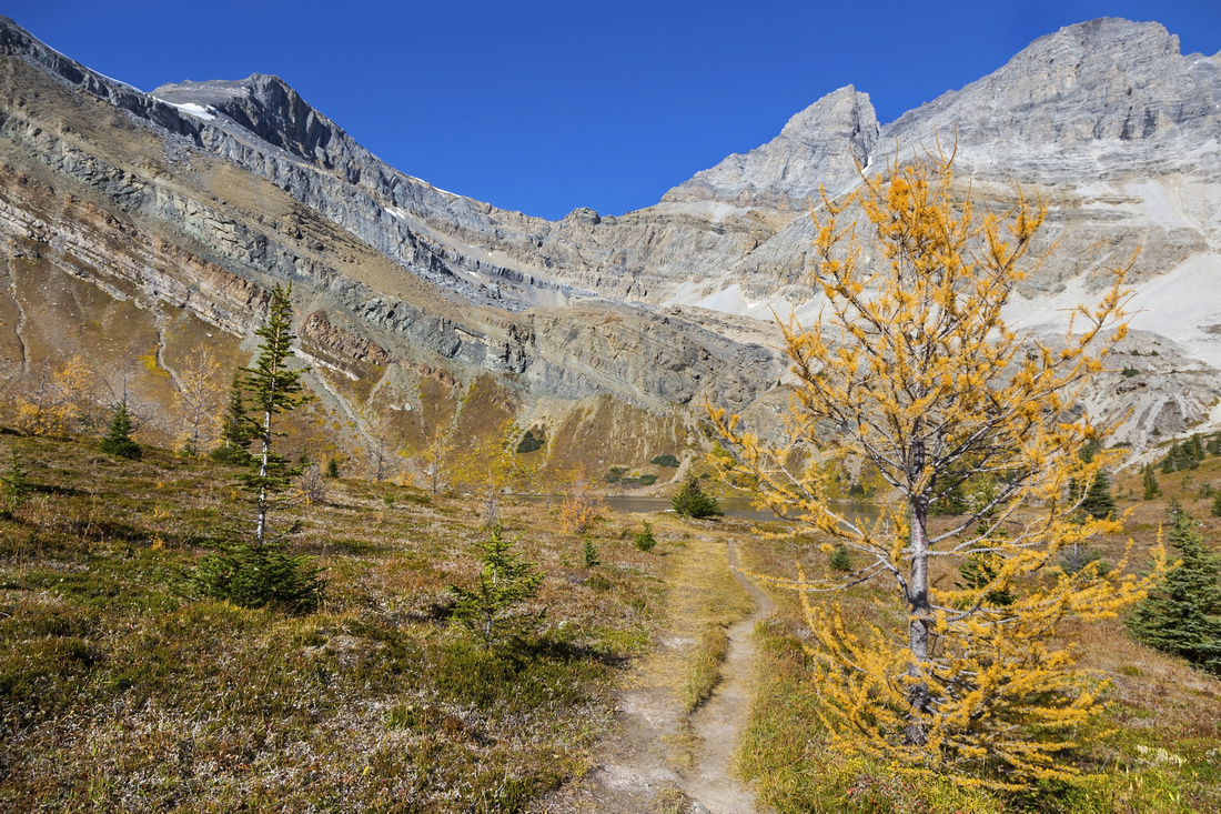 Approaching Hidden Lake Approaching Hidden Lake
|
|||
|
|||
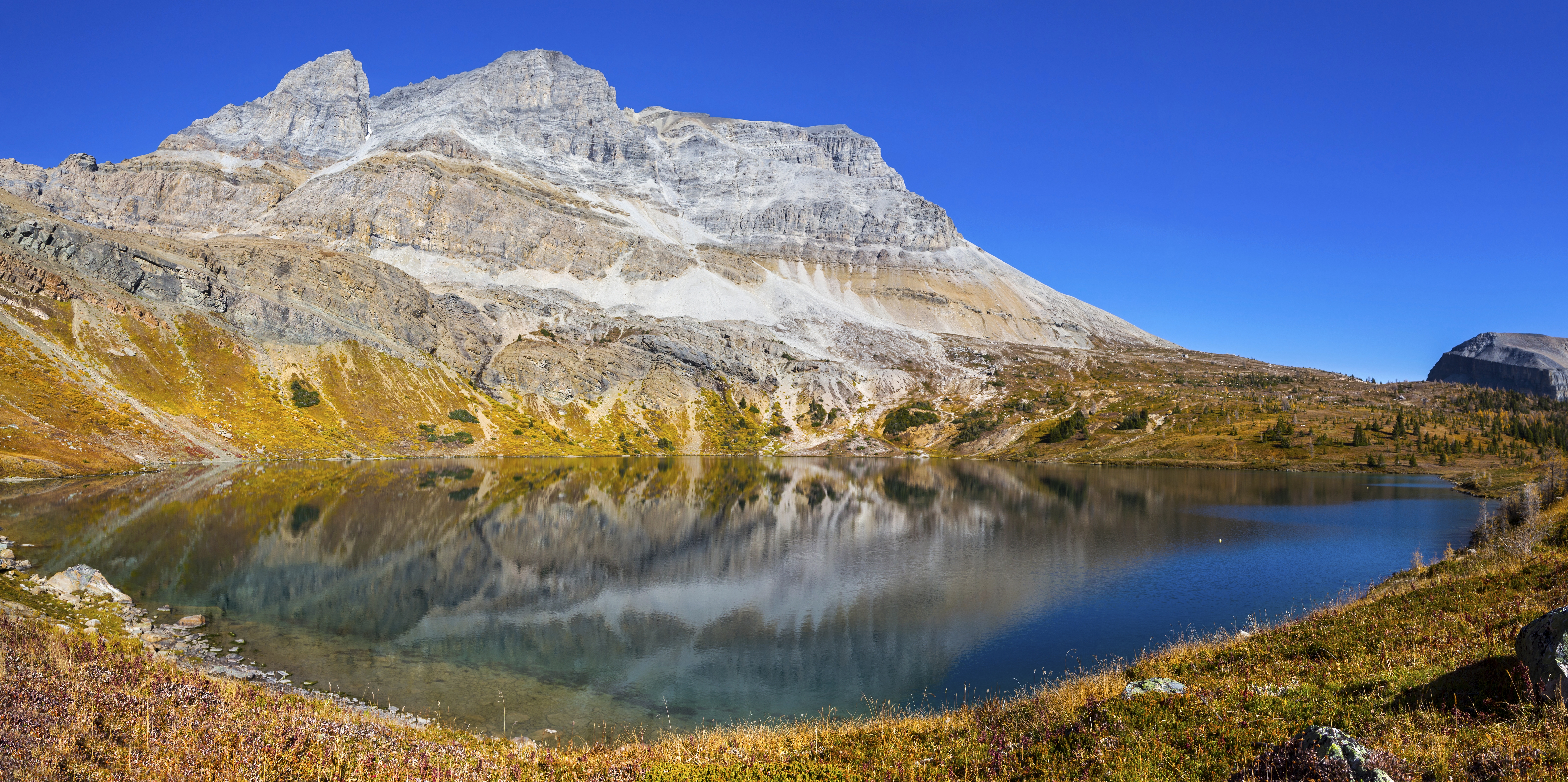
 Hidden Lake Alpine Basin Hidden Lake Alpine Basin
|
|||
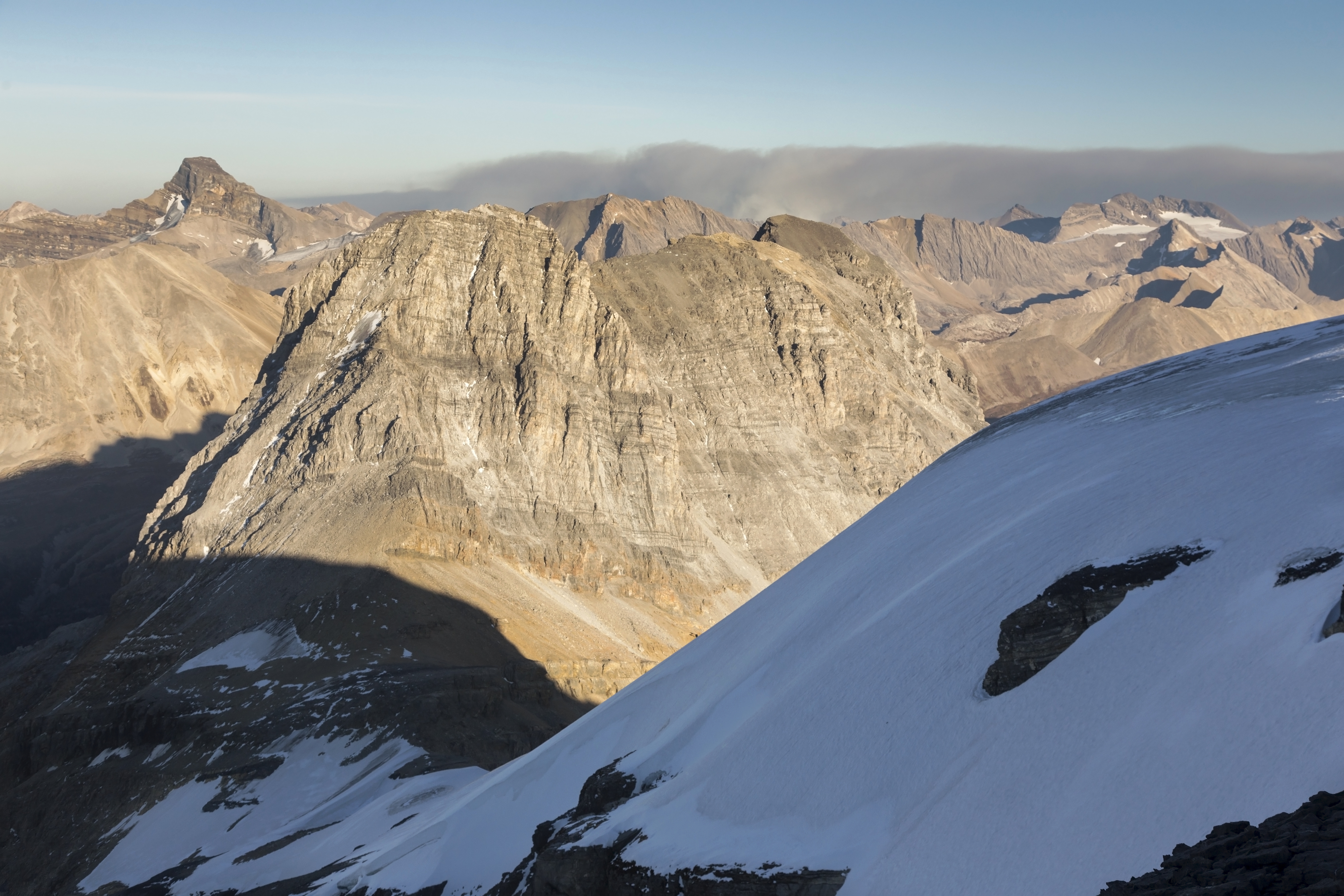
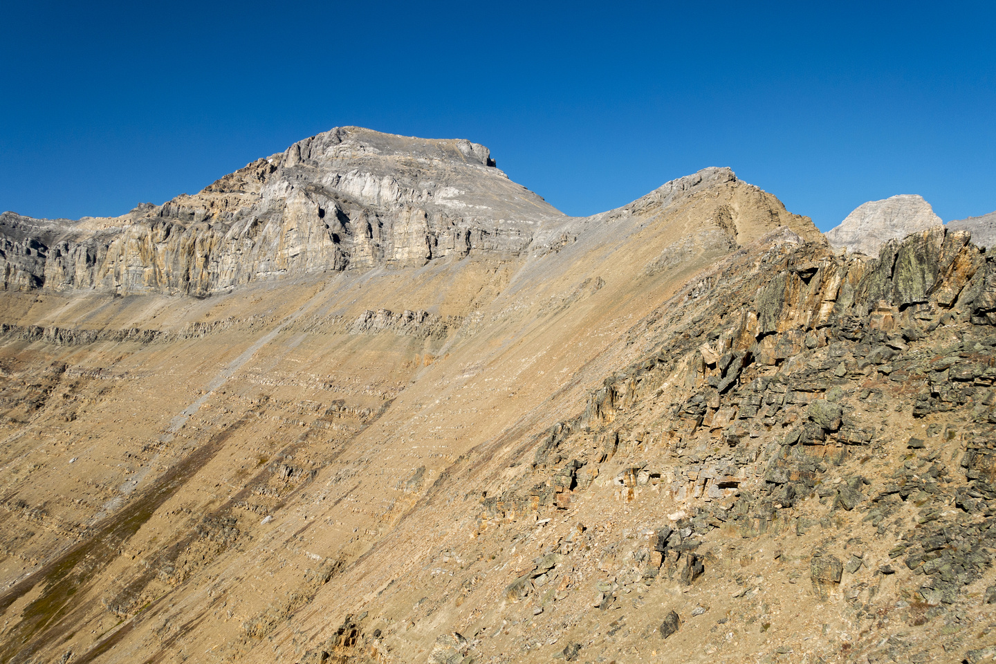 Mount Richardson Ascent Ridge Mount Richardson Ascent Ridge
|
|||
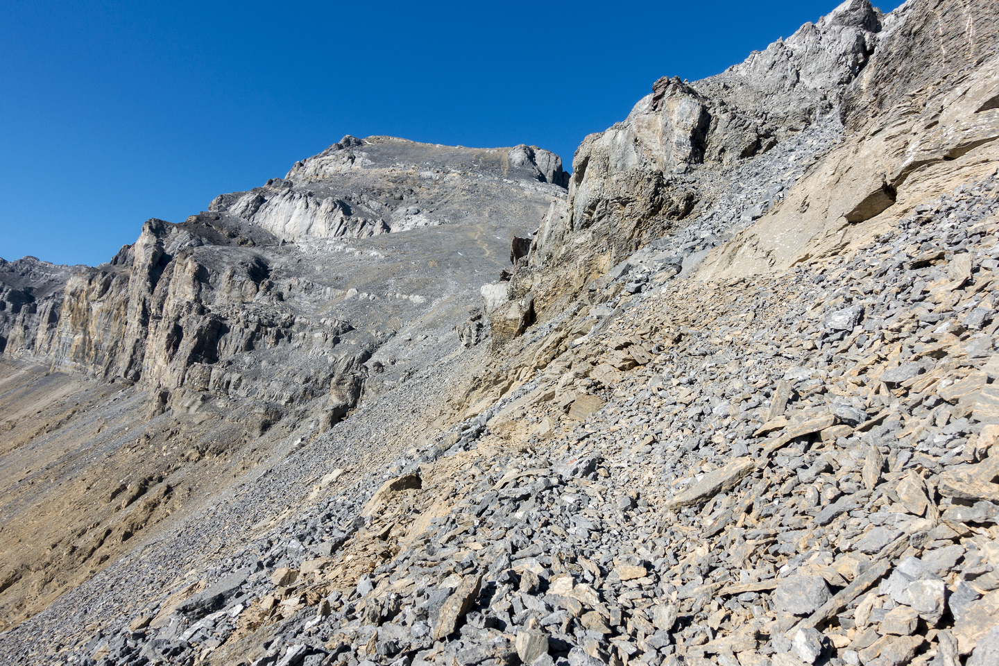 Mount Richardson Ascent Ridge Mount Richardson Ascent Ridge
|
|||
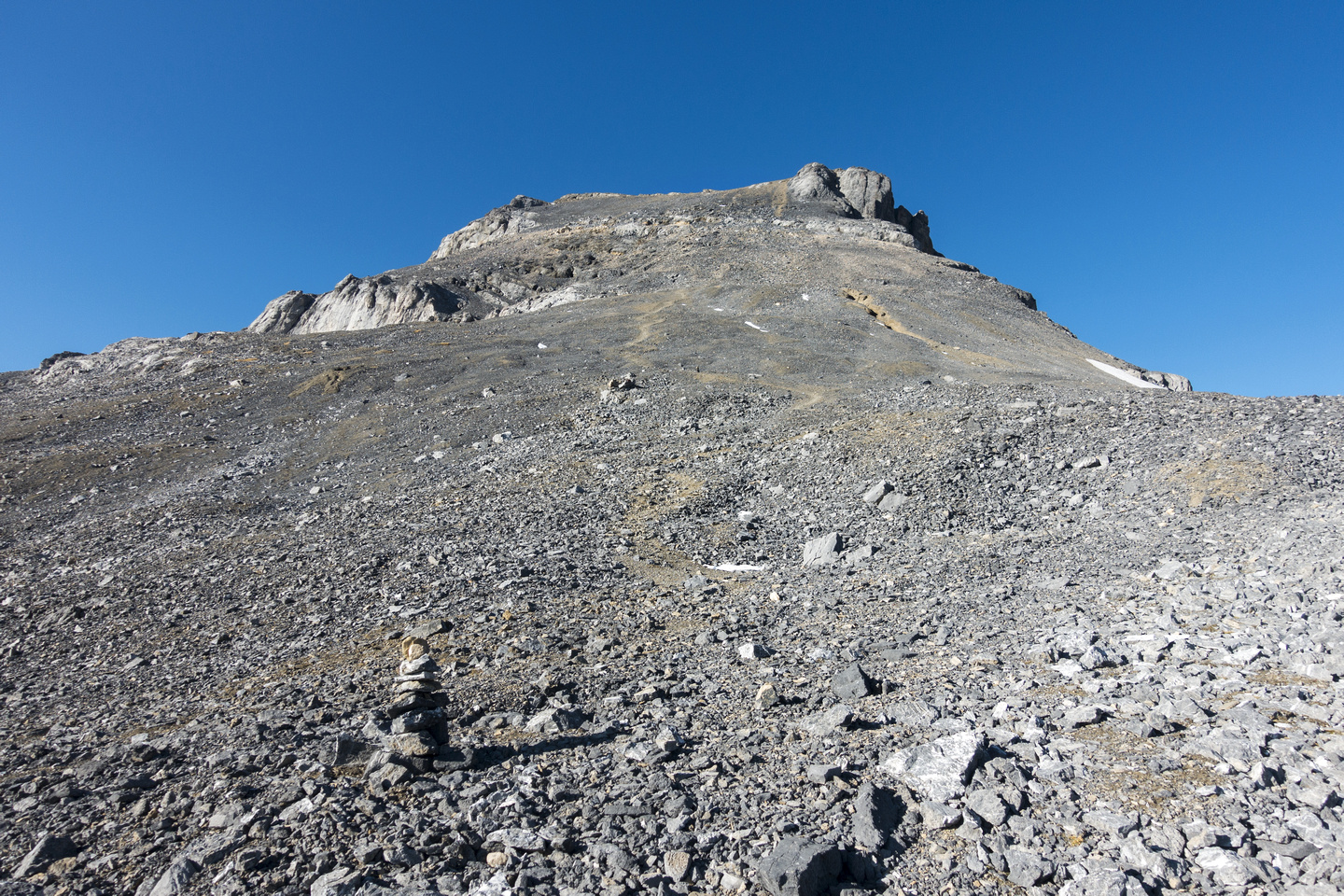 Summit Block Talus Slope Summit Block Talus Slope
|
|||
|
|||
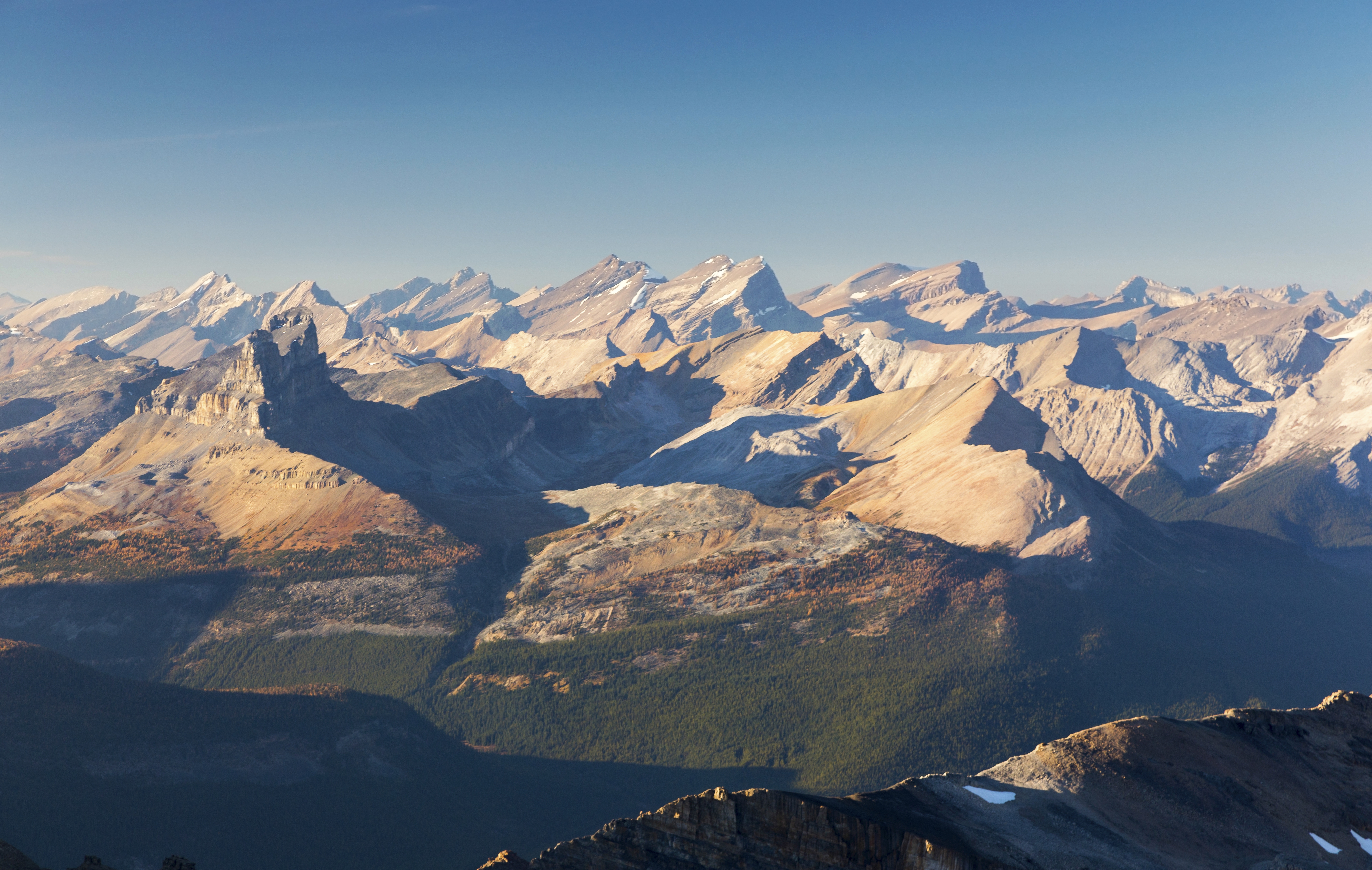
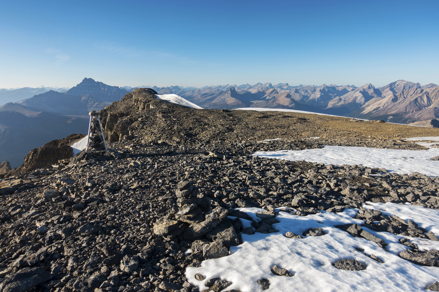 Richardson Summit Plateau Richardson Summit Plateau
|
|||
|
|||
|
|||
|
|||
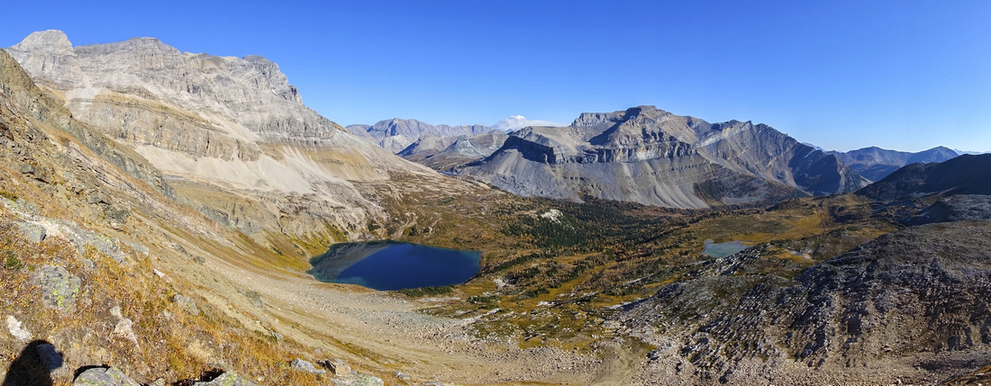
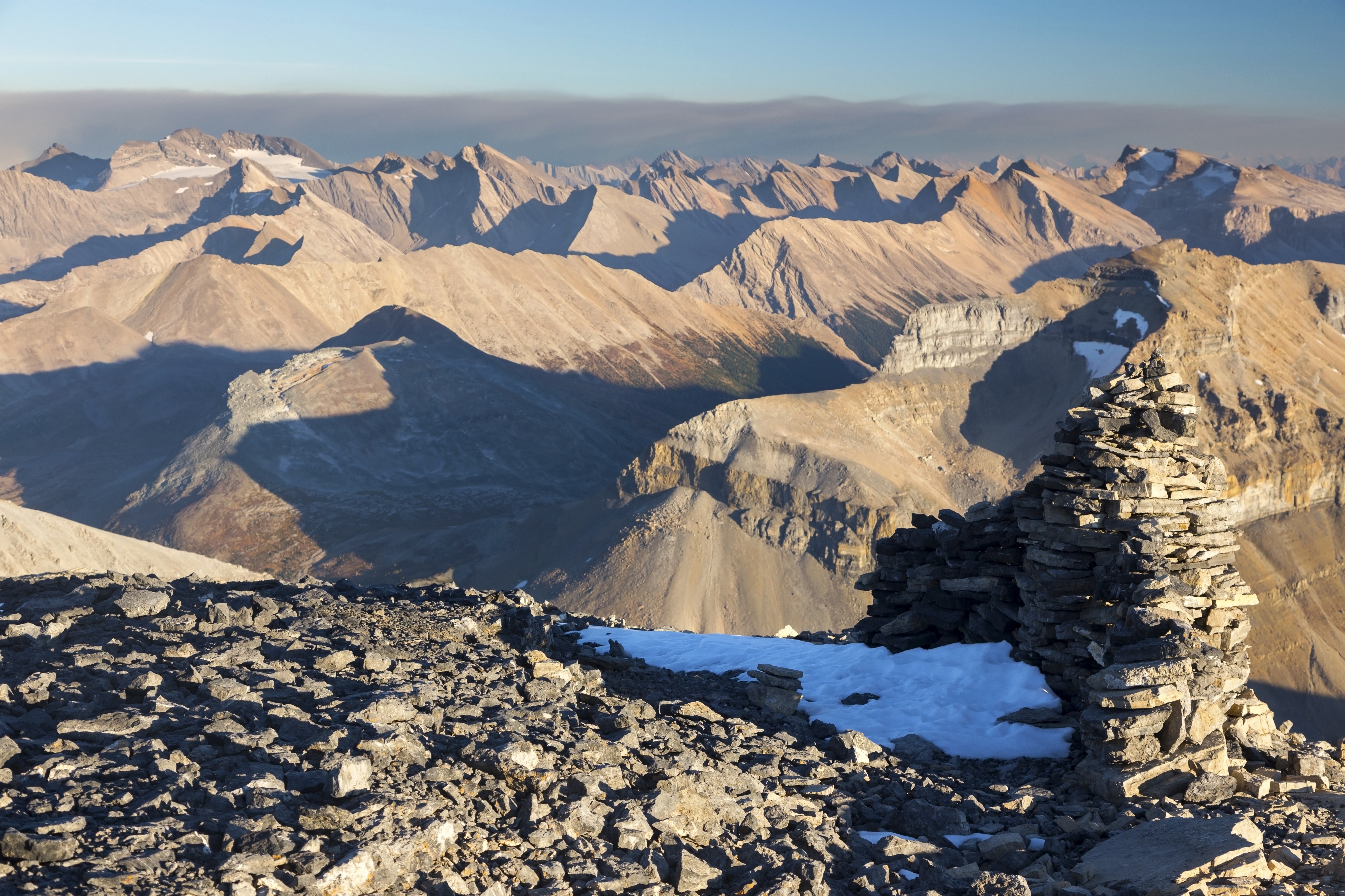
 Richardson East Panorama Richardson East Panorama
|
|||
|
|||
|
|||
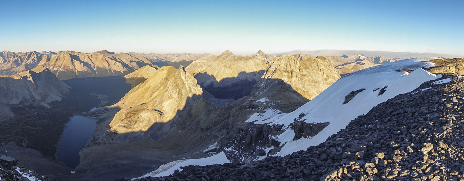
 Richardson Ridge Sunset Richardson Ridge Sunset
|
|||
 Hidden Lake Alpenglow Hidden Lake Alpenglow
|
Abstract
| Overall Difficulty | D5 | Walk on Temple Lodge access road, followed by established Skoki Trail hiking. Steep Talus/Grass slopes above Hidden Lake (crux) followed by straightforward ridgewalk and boulder slope ascent. One narrow bit on summit plateau | |||
| Snow Factor | S4 | Moderately steep snow slopes above Hidden Lake. Moderate to high avalanche risk. Feasible on skis, but probably too long as snowshoe ascent | |||
| Scenery | Fantastic scenery throughout. Meadows, Lakes and Peaks. Far reaching summit vistas with many distant peaks of Sawback Range and Eastern BNP. Highly recommended as Autumn Larch trip | ||||
| Trail/Marking | Excellent / None | Established and marked trail to Hidden Lake, cairned route afterwards | |||
| Suggested Time | 9 hr | Return time on foot from Fish Creek parking lot. Bicycle should save ~45min (return). Hitching a ride on Temple fireroad will shave off 30-40 minutes each way. | |||
| Elevation | Start: 1680m Max: 3080m Total: ~1550m | Round Trip: 25km | |||
| Gear | Hiking boots, poles and gaiters; snowshoes or skis in winter. Avalanche gear mandatory in winter. Mountaineering gear if planning on alternate drop to saddle below Pika Peak (not recommended) | ||||
| Water | Hidden Lake outlet, none after. Permanent snowfield on summit plateau can be used as emergency. Recommended: Carry 2L minimum above Hidden Lake in summer conditions | ||||
| Dog Friendly | Yes | No on-leash restrictions. Note that Skoki is prime griz-country and several dog related accidents have occurred in the past | |||
 Mt. Richardson GAIA Map
 Mt. Richardson Elevation Profile