Google Map |
Vancouver Island :: Comox - Strathcona ::Landslide Lake |
GPS Track |
|
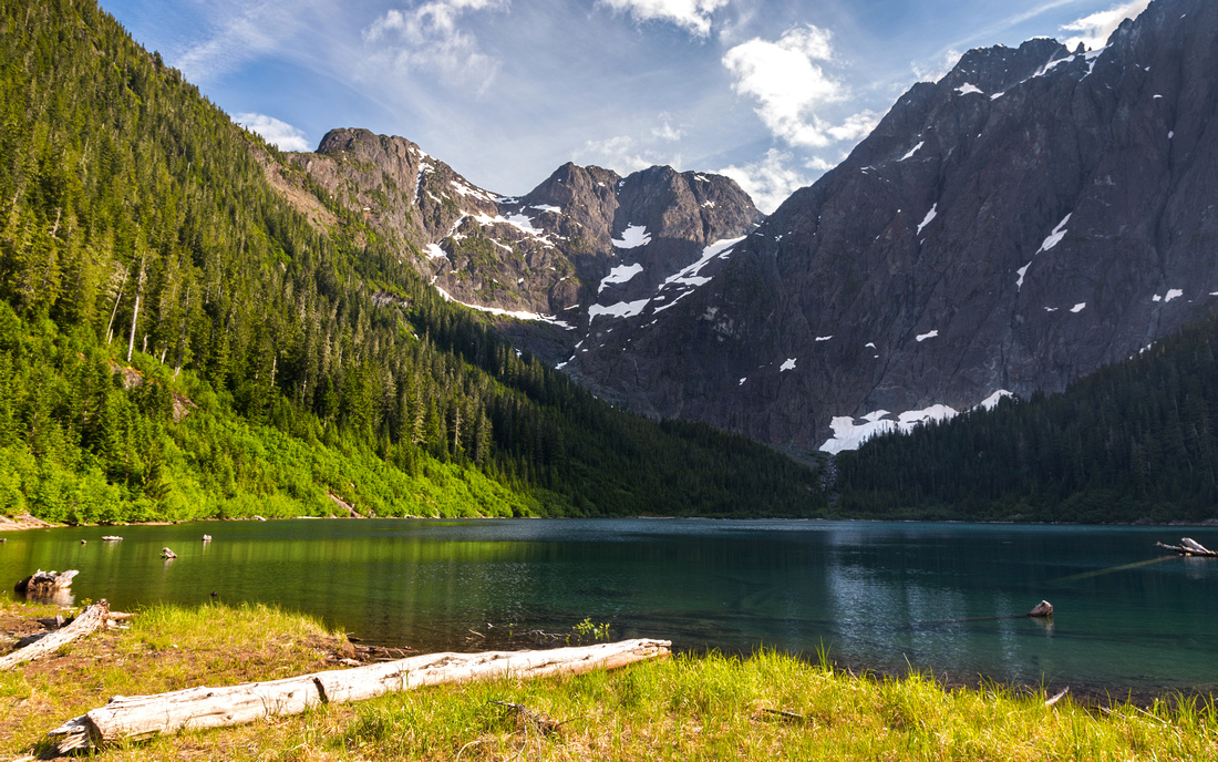 
Classic View of Landslide Lake from end of Elk River Hiking Trail. Rough path continues on left side to Foster Lake (in shade at far side of the lake, under Mount Colonel Foster) |
|||
| Trip Summary | |||
June 25, 2019Landslide Lake is premier Island hike. Final view of high-alpine lake under sheer cliffs of Mount Colonel Foster is iconic and featured many times in various online magazines and personal sites. But this is not the only thing that makes the outing special; unspoiled old-growth forest along Elk River leading to the lake is magical and trip is as much about the journey as it is about final destination. Travel is relatively easy as trail is official and maintained by BC Parks, but hike is long. Camping by the lake is not allowed, but there are 2 official campgrounds at kms 6 and 9. Overnight trip might be preferred option as it allows time for detail exploration of alpine basin at end of trail. There are many possible extensions, from short jaunt to Foster Lake to multi-day high alpine Elk Pass crossing. Several mountaineering routes, including Elkhorn Mountain, Kings Peak, Puzzle and Wolf mountains branch from Elk River trail.
Drive Hwy 28 about an hour from Campbell River towards Gold River. Watch for signed Elk River trailhead about 20 minutes from Buttle lake junction on left (south) side of the road. Follow 12km long trail on west side of Elk River crossing several bridges along the way. Except for initial switchbacks up small rise near the trailhead, this trail is mainly flat till Butterwort campground ~6km mark and sheer joy to hike. Difficult section is between km 6 and 9 as trail finally gains elevation and crosses some open gullies. Although trail is brushed, you are guaranteed to get wet here in case of recent rain - so make sure you have waterproof gear. Gravel Flats campground at km 9 is excellent overnight base -- it has fresh water, outhouse and metal food lockers. Trail continues for about a km past Gravel Flats on much easier terrain, then crosses bridge to east side of Elk River. Climb open slabs by some cairns then watch for flags marking trail continuation just before major waterfall. This section has been scoured clean by the landslide in 1946. After exiting to top of waterfall, final destination is within sight & takes another 15 minutes to lake north side (about an hour from Gravel Flats campground). Postcard view is phenomenal, but hard to photograph successfully as sun is in "wrong" position most of the day and cirque drops in shade fairly early. Best timing would probably be early morning to catch alpine glow on top of Mount Colonel Foster, but that requires overnight trip.
Visiting Foster Lake will require at least another hour. Trail on left (east) side of Landslide Lake is rough, but manageable. After reaching far side climb initially by creek draining Foster into Landslide, then exit left to glacial moraine for finish. Foster Lake will often still be frozen, or have ice flowing when Landslide has already fully melted as it spends most of the day in the shade of towering Colonel Foster. Return the same way. |
|
Gallery |
|||
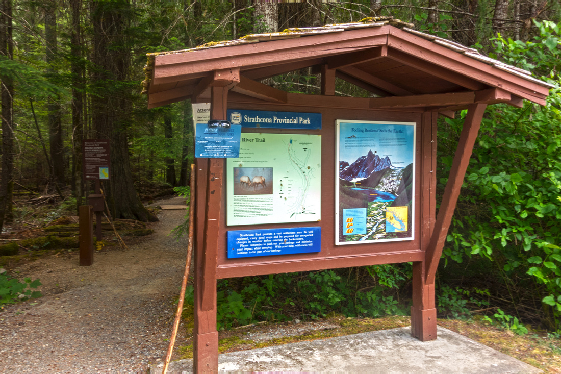  Elk River Trail Kiosk ~25 km east of Gold River on Hwy 28, about an hour drive from Campbell River
 |
|||
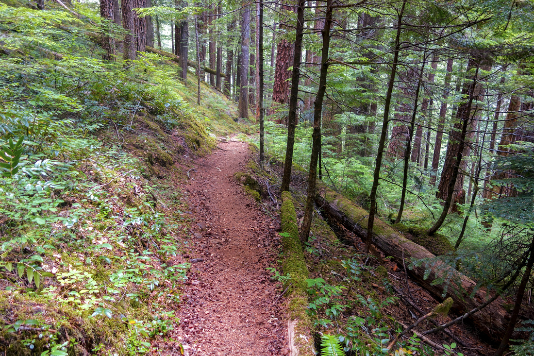  Switchbacks down small rise before trail settles for long haul on west side of Elk River
 |
|||
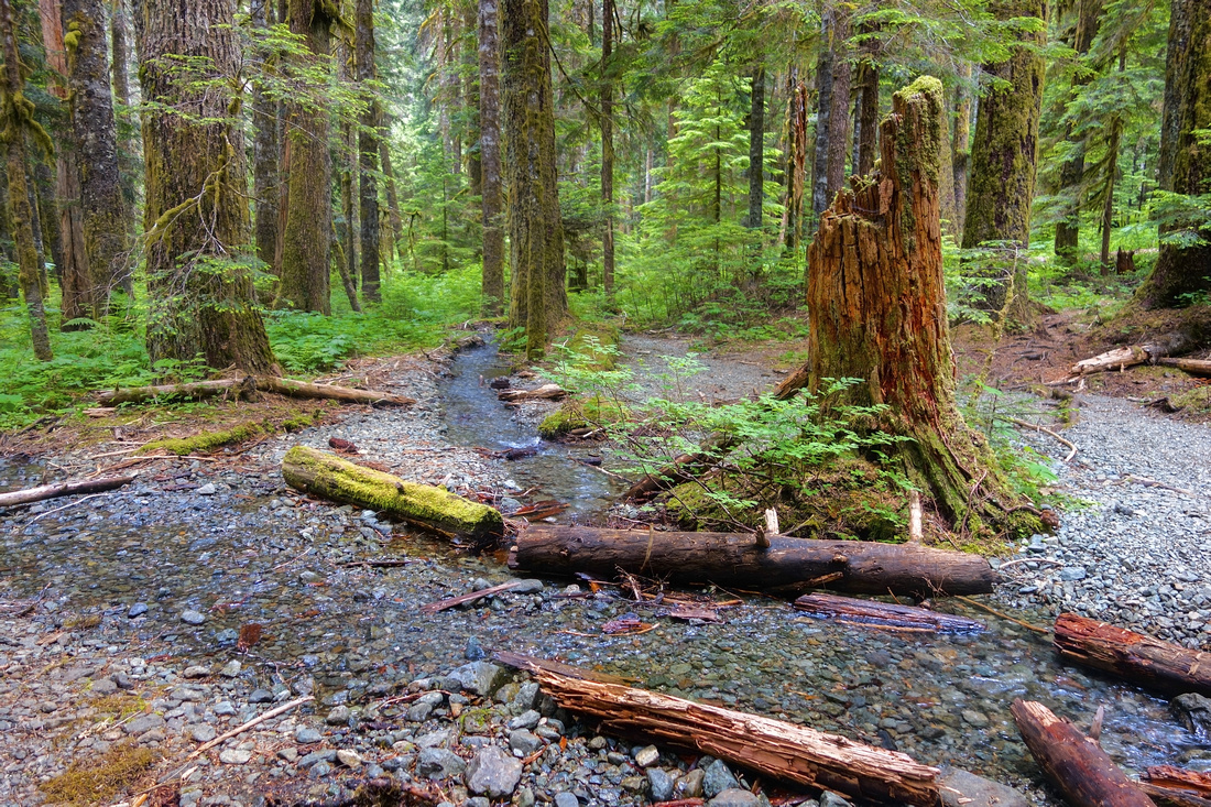  Typical section of old growth forest as trail crosses small creek ~4km mark
 |
|||
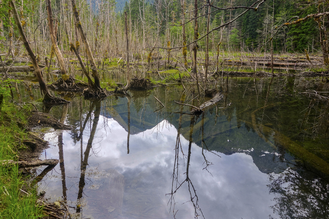  Kings Peak reflected in shallow pond as trail passes short clearing
 |
|||
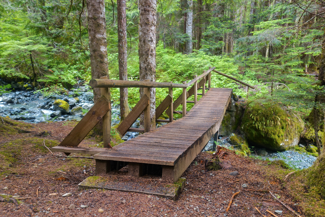  Puzzle Creek Bridge ~5km mark, looking back
 |
|||
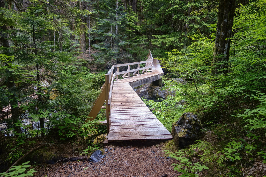  Volcano Creek Bridge about 10 minutes before Butterwort Creek Campground ~6km mark
 |
|||
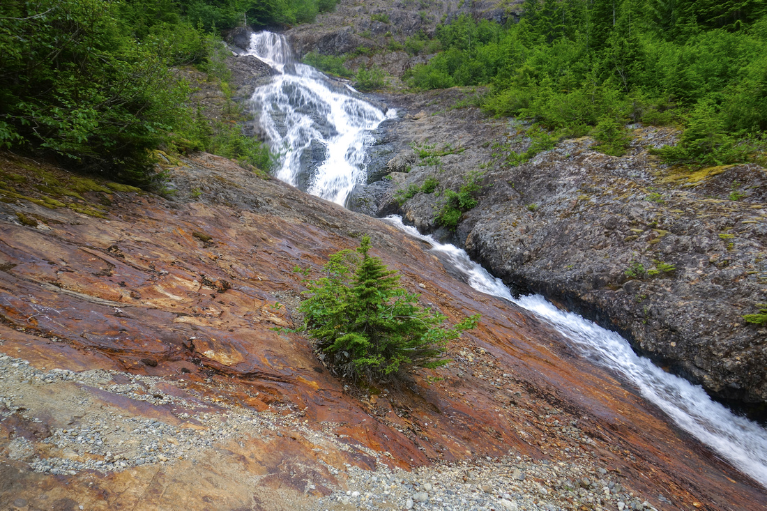  Trail climbs open slabs just past bridge ~10km mark. Rough path dips in forest to the left at this point, but it is easier to climb along the creek for few minutes more then watch for flags just before major waterfall in upper part of photo
 |
|||
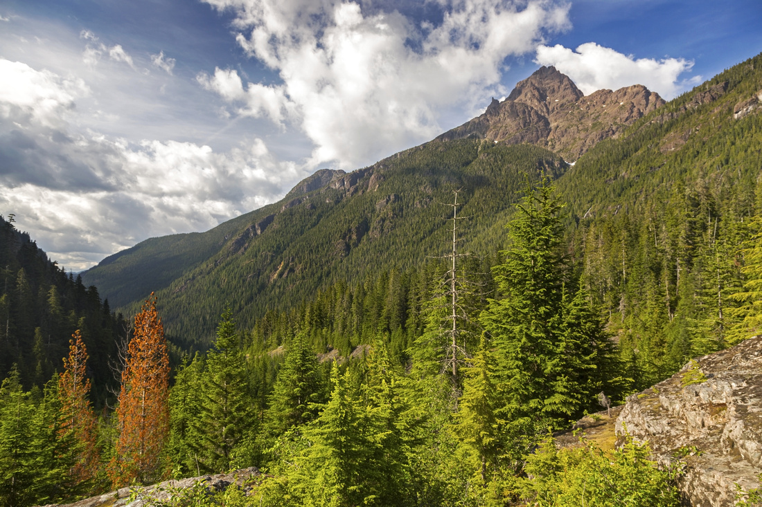  View back to Elkhorn Mountain ~11km mark as trail exits treeline. Length of Elk River to the left
 |
|||
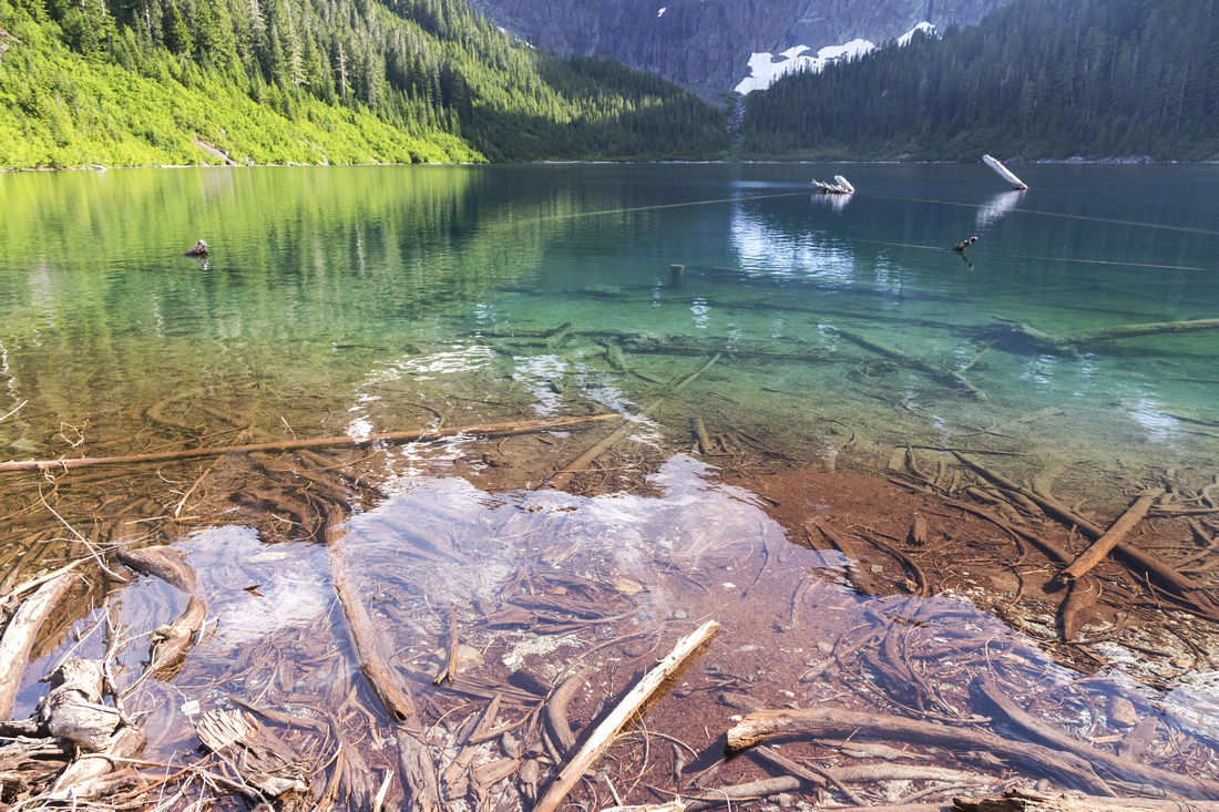  Landslide Lake north shore, showing interesting color contrasts. Camping would be great here, but it is not allowed
 |
|||
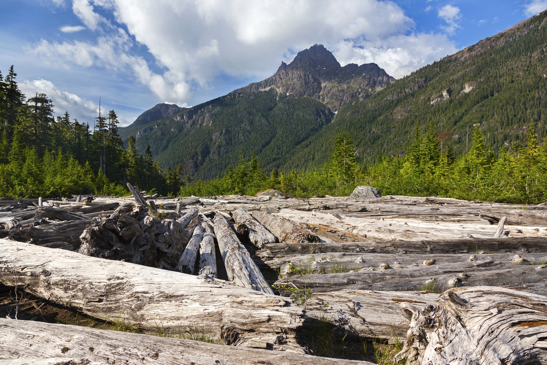  Large Driftwood area at north side of Landslide Lake looking back. Elkhorn Mountain just right of center
 |
Abstract
| Overall Difficulty | D4 | Fairly long day-hike with moderate elevation gain. Backpack to one of 2 designated campgrounds is valid option | |||
| Snow Factor | S3 | Some avalanche risk crossing open gullies at west side of Elk River | |||
| Scenery | Beautiful old growth forest. Cascades and small Waterfalls. Iconic "Island Alpine" view of remote back-country lake under sheer cliffs of Mount Colonel Foster | ||||
| Trail/Marking | Very Good | Marked and Cleared trail with bridged crossings. Some rough sections crossing avalanche gullies. Less defined past 10km mark bridge but way is obvious and cairns mark the way | |||
| Suggested Time | 9hrs | Return time with moderate pace | |||
| Elevation | Start: 360m Max: 880m Total: ~880m | Round Trip: ~24 km | |||
| Gear | Full hiking boots or day-hikers. Hiking poles helpful. Rain gear suggested, even if forecast is sunny | ||||
| Water | Elk River and various tributaries. No need to carry more than 1L | ||||
| Dog Friendly | Yes | Standard back-country travel precautions | |||
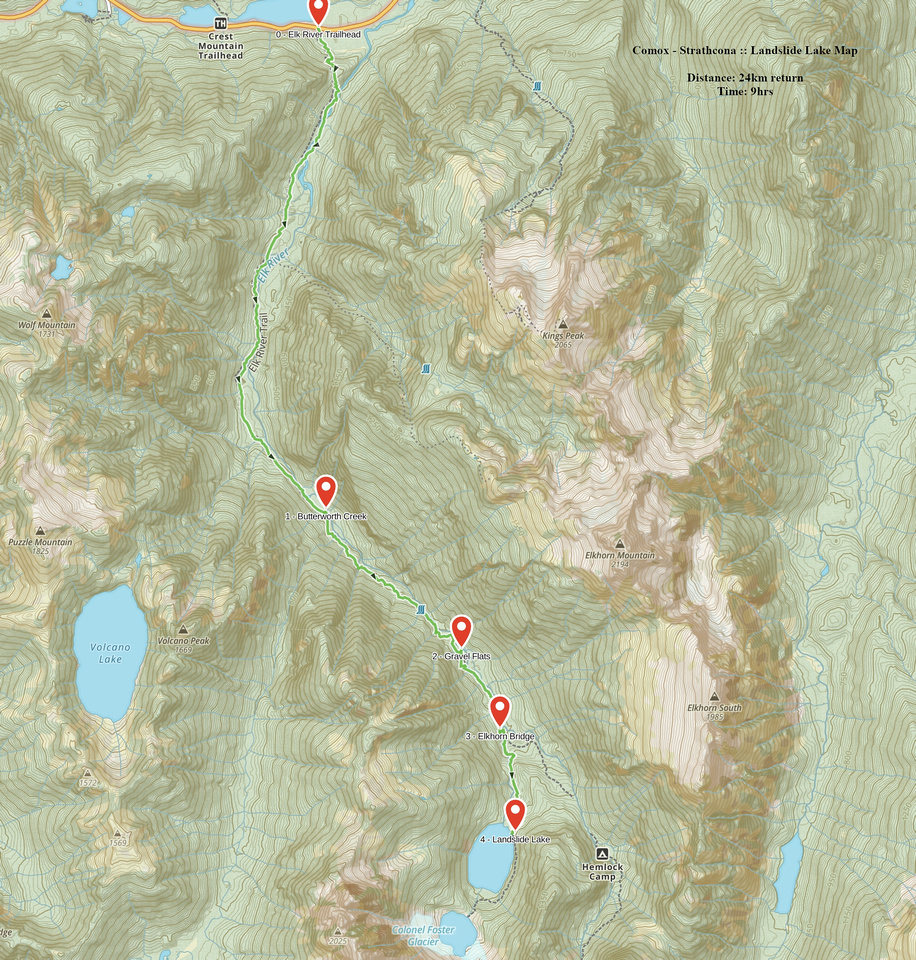 Landslide Lake GAIA Map
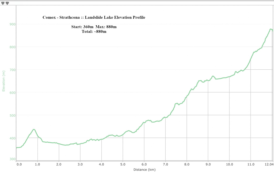 Landslide Lake Elevation Profile