Borneo :: Mount Kinabalu |
|
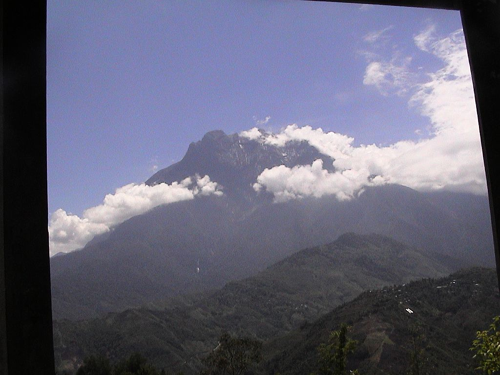 
Mount Kinabalu seen from window of tour bus on drive up to Park Entrance |
|||||||||||||||||||||||
|
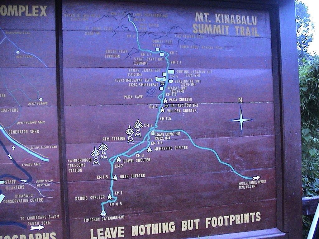
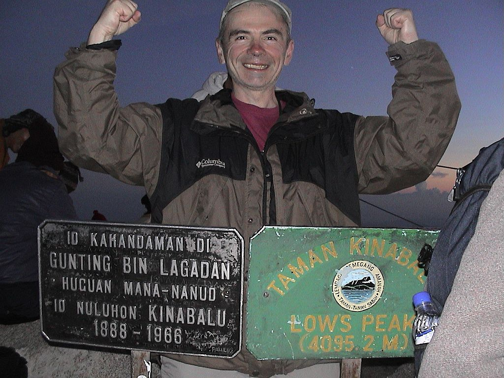
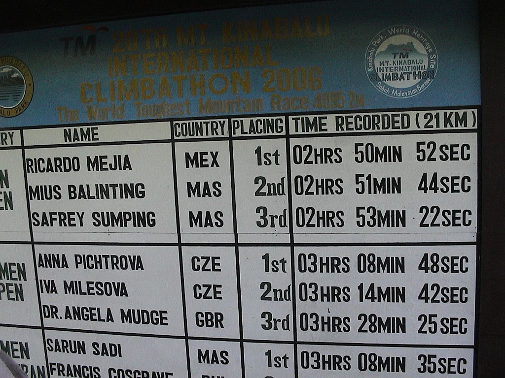
Mount Kinabalu is the highest point in Malaysian Borneo. It is one of better known treks globally & needless to say extremely popular. I did the hike in April 2007, part of 2 week Borneo trek that also saw me visiting Sepilok Orangutan conservatory and Pulau Tiga, original Survivor Island. Most hikers will take 2 days: First day climb to Laban Rata hostel, then second day Lowe Peak summit and return back to Park gate. Peak can also be done in single day by fit hikers -- although overall elevation gain is significant. Ironically, trail runners ascend Kinabalu and return within couple of hours (!), as part of annual Kinabalu International Climbathon Challenge (Iron man, sort of). I took 2 days and, despite inevitable crowds, enjoyed the trek tremendously. It was also self-imposed high-altitude test as Low's Peak summit is 4095m, without time for any sort of acclimatization; a taste of things to come for Himalaya and Kilimanjaro treks to come.
Trekking Summary - Day 1:
Trekking Summary - Day 2:
It is completely unnecessary to book western tour operator for Kinabalu. Companies like Intrepid will overcharge you many times for sometimes you can do on your own (I learned the hard way). Malaysian government still requires several permits and hiring a guide, but that can all be arranged at Park headquarters. Great resource I recommend is Stingy Nomads, and I won't replicate any of that info there. Most problems arise with Laban Rata hostel booking (assuming you are doing it traditional way over 2 days), due to popularity. But even if you can't or don't get a bed, you can use it as shelter in case of rain -- summit bid starts very early, 2-3 am usually & you won't get much sleep anyways. All this of course is pre-COVID info; what and how things will change post-pandemic is anyone guess.
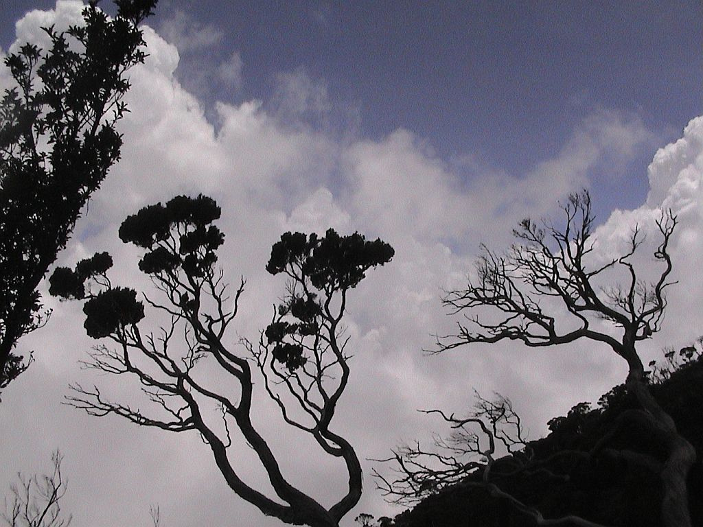
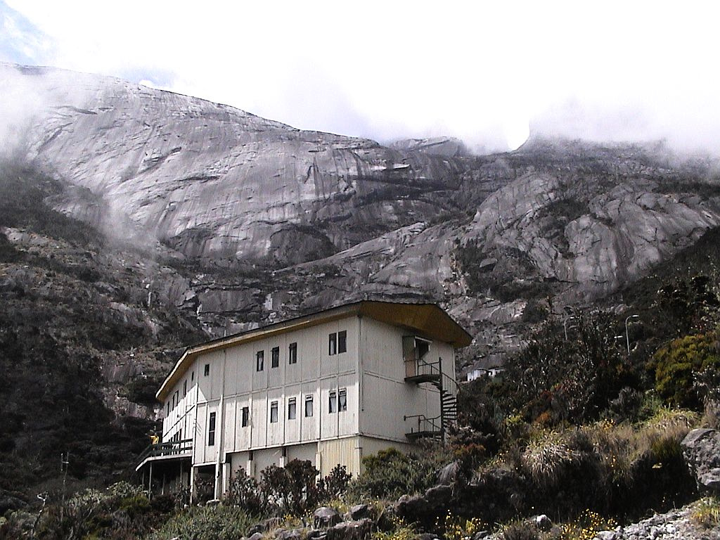
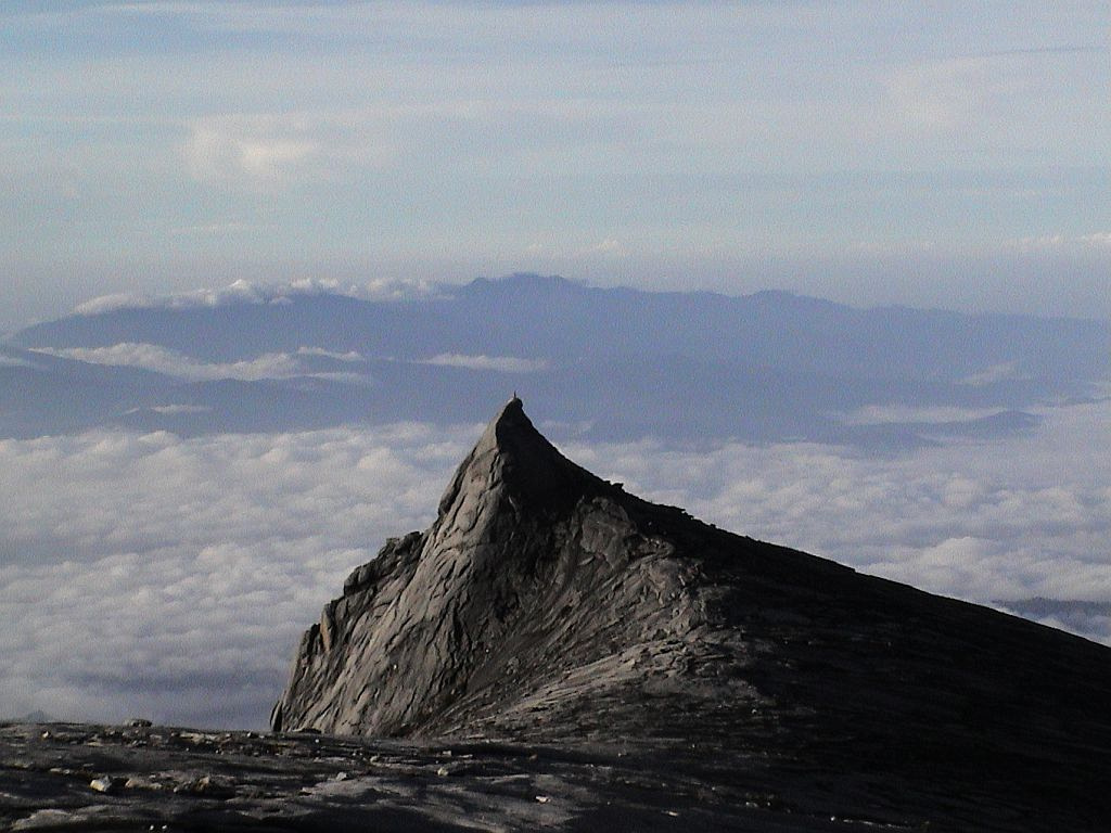
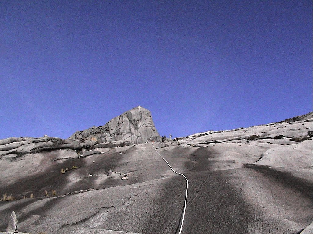
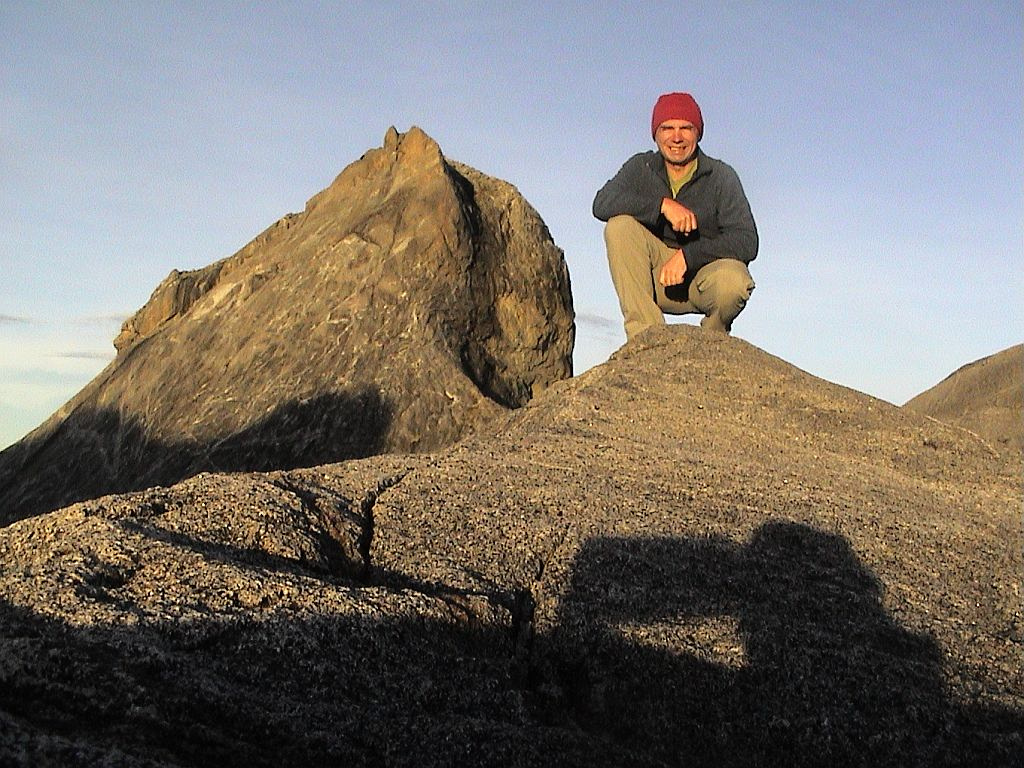
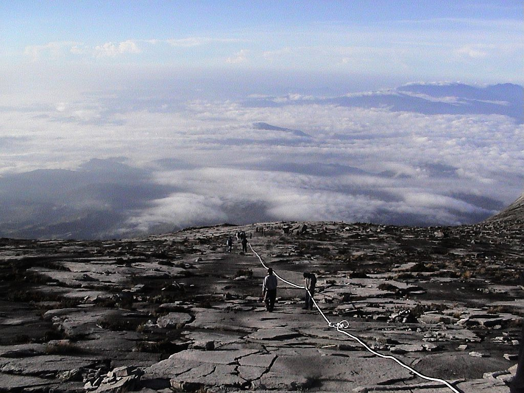
Hike itself is straightforward. You climb stone staircase most of the way. Except at Laban Rata (where you will have to pay for it), there is no water, so take plenty. There is humidity and it will get colder higher up, but not cold - standard fleece layer for the morning & rain shell are more than enough. Headlamp is a must as you will most likely climb in the dark in order to catch Sabah Sunrise from the top! Above Laban Rata route climbs easy angled granite slabs, and there are fixed ropes but they are completely unnecessary. Just don't hike in runners (as 90% of others do); day hikers will suffice. Photo Gallery tells the story (apologies for low quality, photography was still not on my radar in 2007):
|
|||||||||||||||||||||||
