Google Map |
BC Coast :: North Shore :: Mt. Strachan |
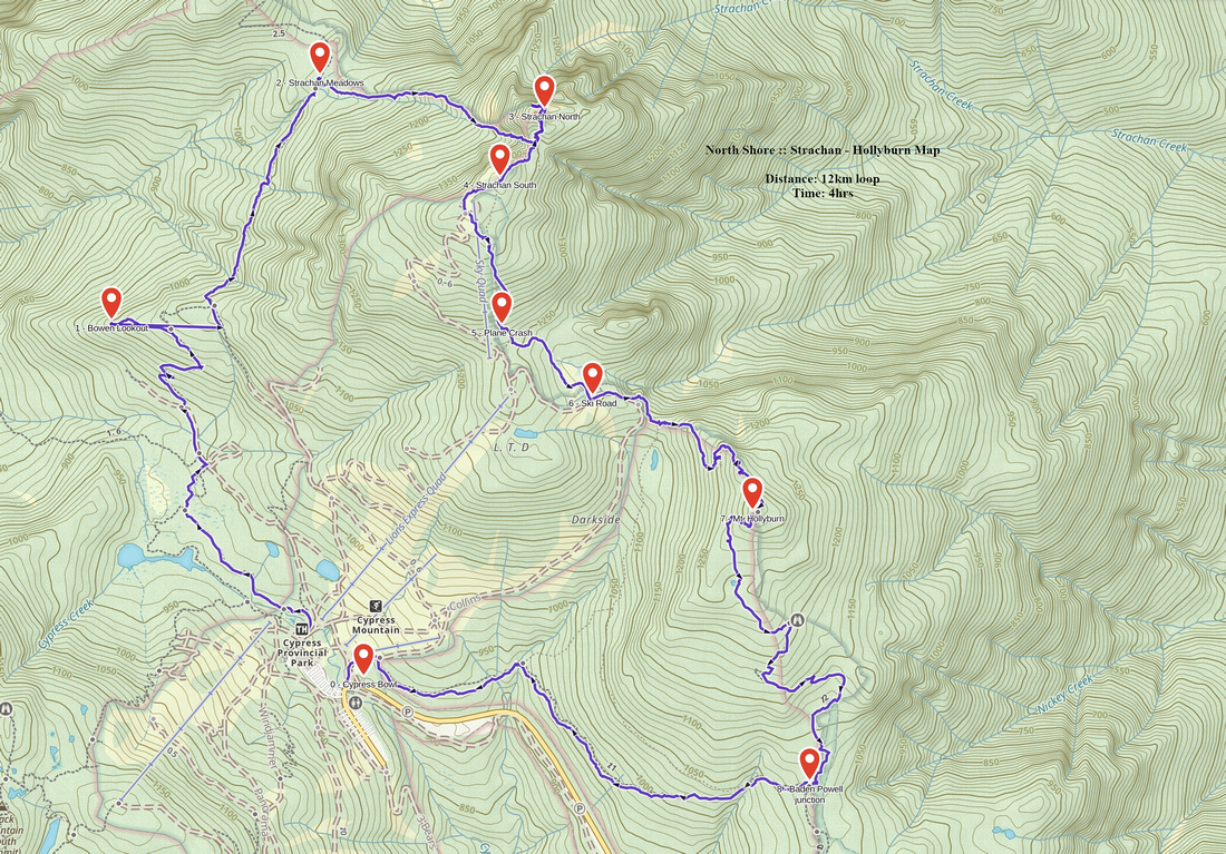
GPS Track |
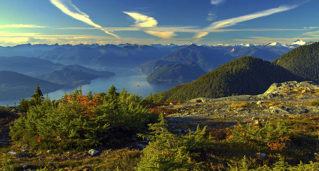 
Howe Sound, Islands and peaks of Sechelt Peninsula from Strachan South |
|||
| Trip Summary | |||
|
Mt. Strachan is hands-down best place to watch sunsets on North shore mountains. Geographic location directly above mouth of Howe Sound provides fantastic views in all directions. Benefiting from paved road leading to Cypress Bowl, south summit near top chair of Strachan ski-run is popular year-round after work hike. Slightly higher north peak is more difficult to access, as steep and rocky dip with several scramble steps separates two summits. Most satisfying and by far most scenic option is loop trip that combines both summits along with visit to Bowen lookout and optional ascent of Mt. Hollyburn from the backside on return. Note that winter trip, although feasible, is more difficult -- Christmas gully used for access to North peak is avalanche prone, while ski runs leading to south peak are closed to hikers in ski season. Best time for visit is mid-October, because of abundance of fall colors in particular on north peak. With little luck, temperature inversion can create dense fog lying over metro-Van and Burrard strait and creating sublime effect. From parking at end of Cypress road walk across the ski complex (crux, sort of) and find trailhead kiosk. You can head directly north on HSCT, but better option is to follow Yew lake trail, then continue to Bowen Island lookout with fantastic views of Howe sound and peaks of Sechelt Peninsula. From the lookout head west and intersect HSCT, then continue for 15 minutes or so to "Strachan meadows". Meadows is definitely bit exaggeration - swampy, semi-open break in forest cover. Leave HSCT as you cross log bridge over seasonal stream and head left on distinct trail towards Christmas gully leading to high saddle between two summits. Flags mark the way. Halfway up when gully narrows and steepens, trail dips to the left in the forest -- this is the roughest part, as you must clamber roots and rocks for about 100 vertical, before terrain allows return to the gully. Final part leading to the saddle is lose with shifting boulders and frequently wet - exercise caution here. This is key reason why descent this way is not recommended. From the saddle turn left (north) and reach north summit in about 10-15 minutes. Fantastic 360 views can be enjoyed from here. Most impressive is HSCT spine directly in front of you, leading over St. Marks summit and Unnecessary Mountain to the Lions. Ascent to south summit from top of Christmas gully is similarly short. Cross the broad rocky plateau towards the south end and top of Strachan chairlift. Small tarn blends phenomenally with environment and is of special interest to photographers. This is best place to wait for the sunset with tripod as views to Vancouver Island are not obscured. Quickest descent from south summit follows ski-run and gets you down to parking lot in about an hour. Pleasant option is visit to crash site of downed plane - watch for memorial plaque as road comes to mid-section. Instead of hiking down the road, there is also a trail but it is not recommended as it is very uncomfortable with bone-jarring bluffs and no views. Final option is climb visit to Mt. Hollyburn from shady north side. Watch for flags on left (east) side of the ski-road just as it approaches Mt. Hollyburn and makes a wide right switchback. Good, but steep trail leads in about 20-30 minutes to the summit of Mt. Hollyburn with decent views, but not as good as you just enjoyed on Strachan. To complete the loop follow well used Hollyburn trail down south slopes to junction with Baden Powell, then turn right and descend to the parking lot. This option is shown on GPS track you can download following link on top of this page. |
|
Gallery |
|||
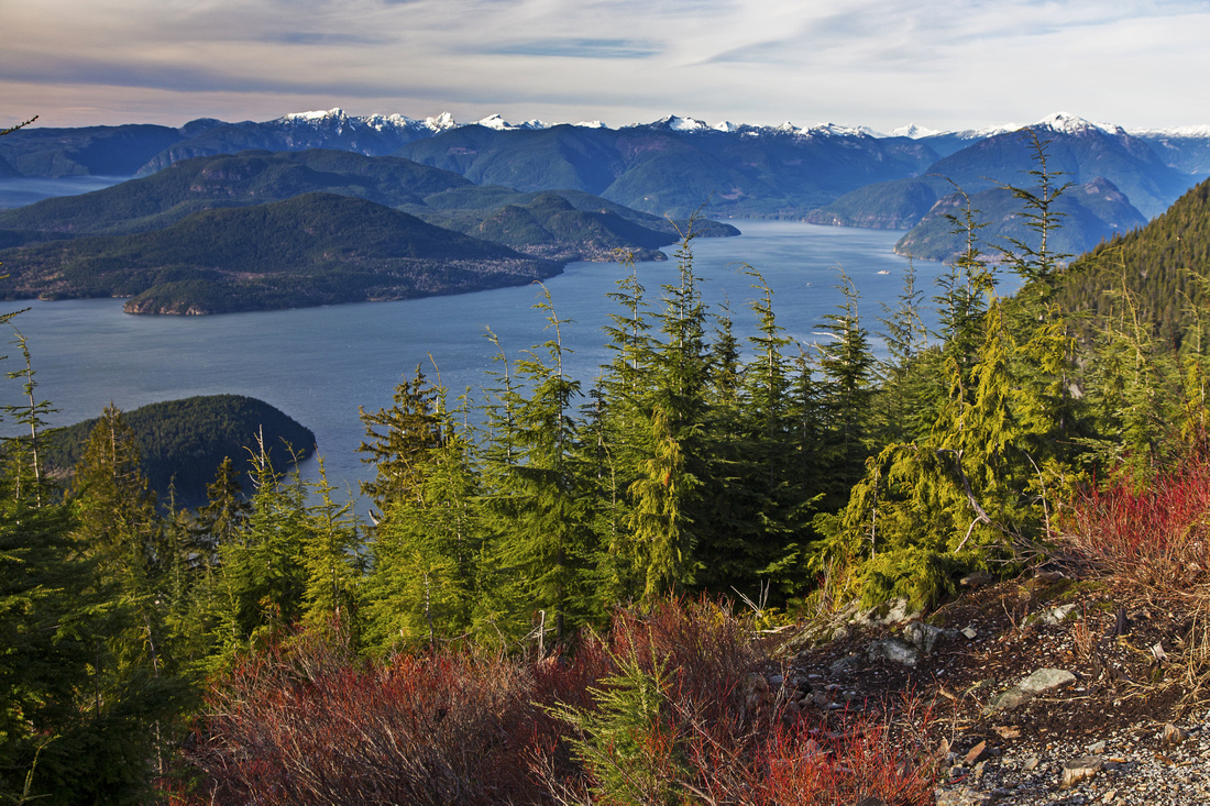 Classic view of Howe sound from Bowen Island lookout
 |
|||
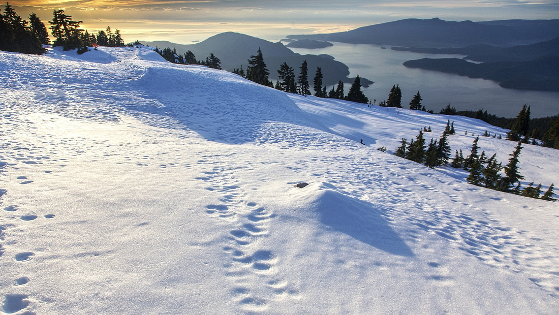
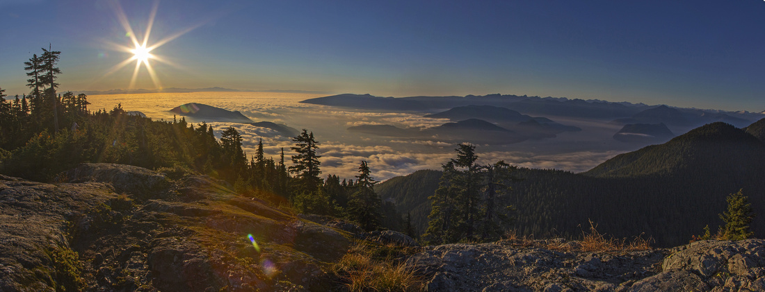
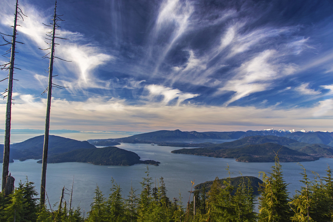 High-pressure October skies at Bowen Island lookout
 |
|||
 Christmas gully and north peak from Strachan meadows
 |
|||
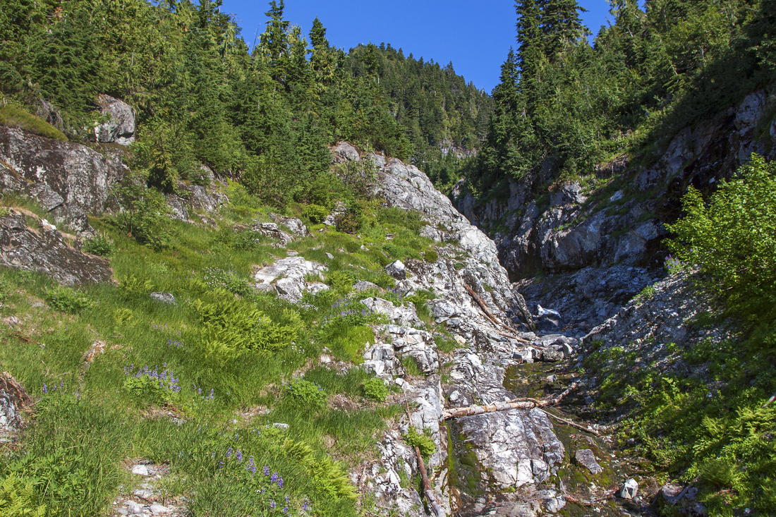 Christmas gully near mid-point in dry conditions
 |
|||
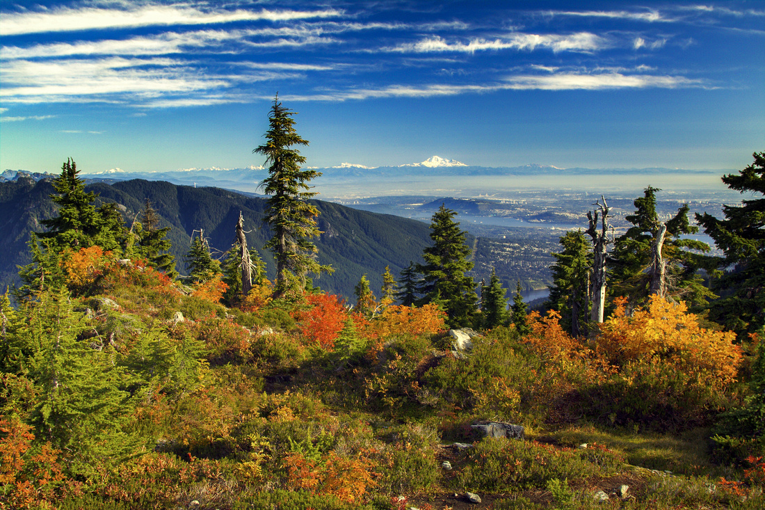 Metro-Van with Mt. Baker on the horizon from north peak
 |
|||
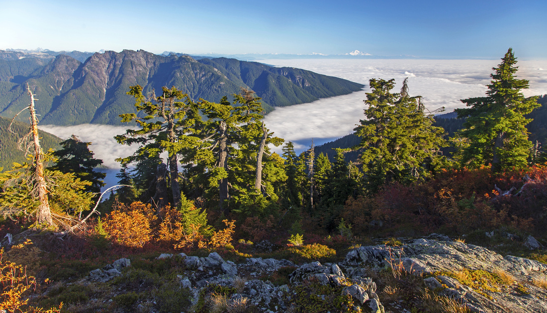
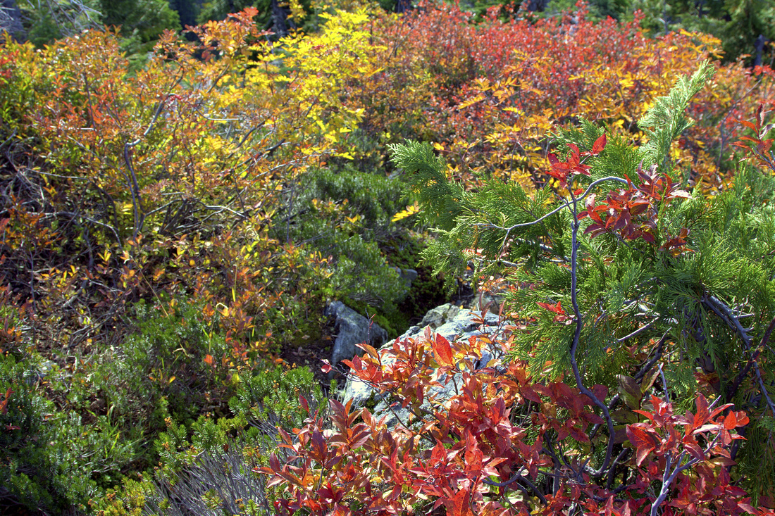 Fall colors on full display on north peak
 |
|||
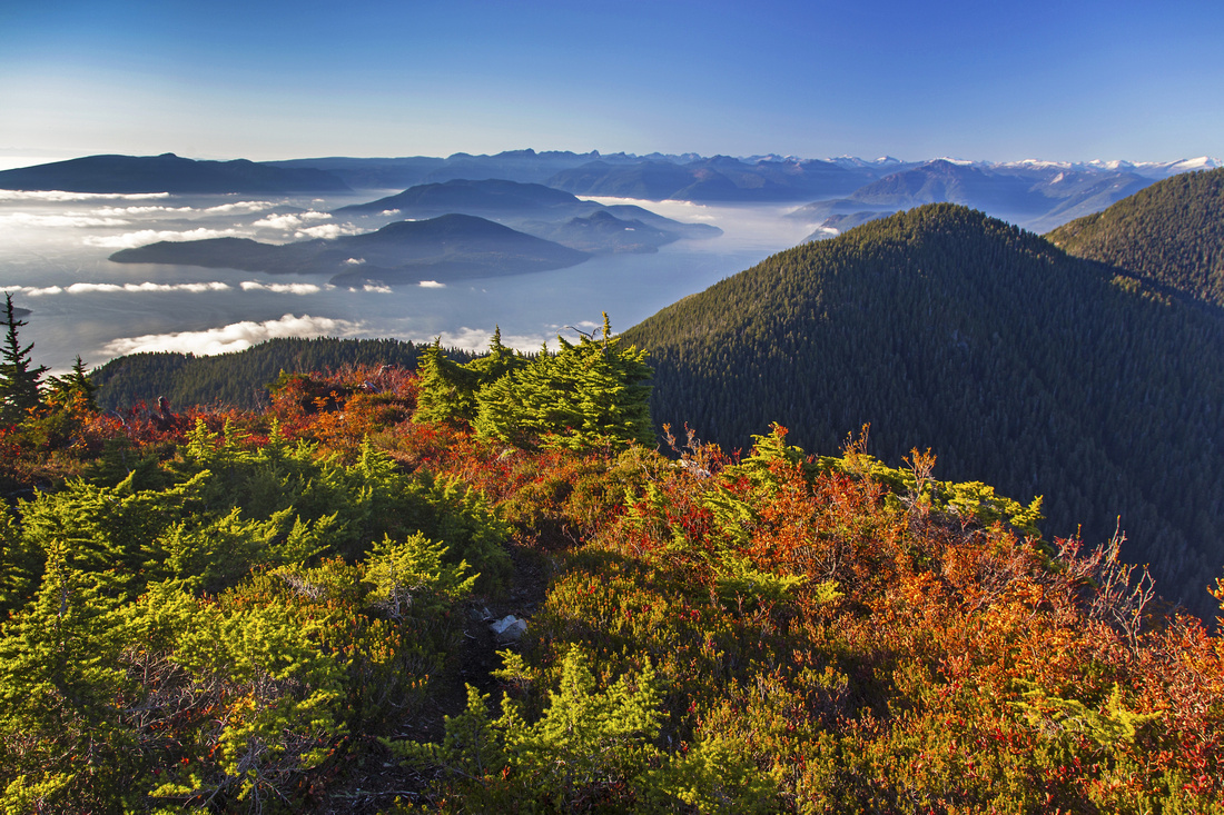 Fog layer over Howe sound from north peak
 |
|||
 Grouse mountain and fog over Fraser valley from north peak
 |
|||
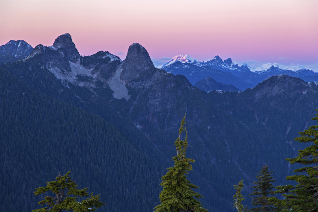 Lions from north peak. Sky Pilot group behind to the right
 |
|||
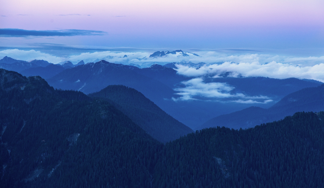 Mamquam obscured by clouds from north peak
 |
|||
 Heading towards ski-lift on South peak covered by snow
 |
|||
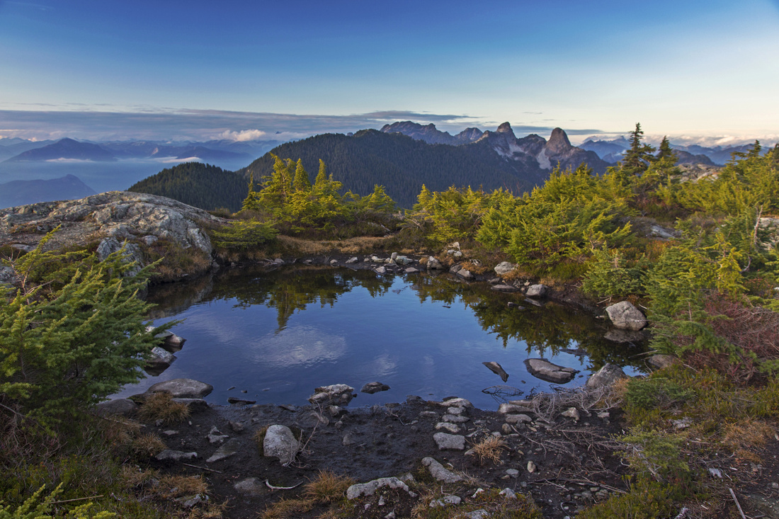
 Pond near ski-lift on south peak as sun has set down
 |
|||
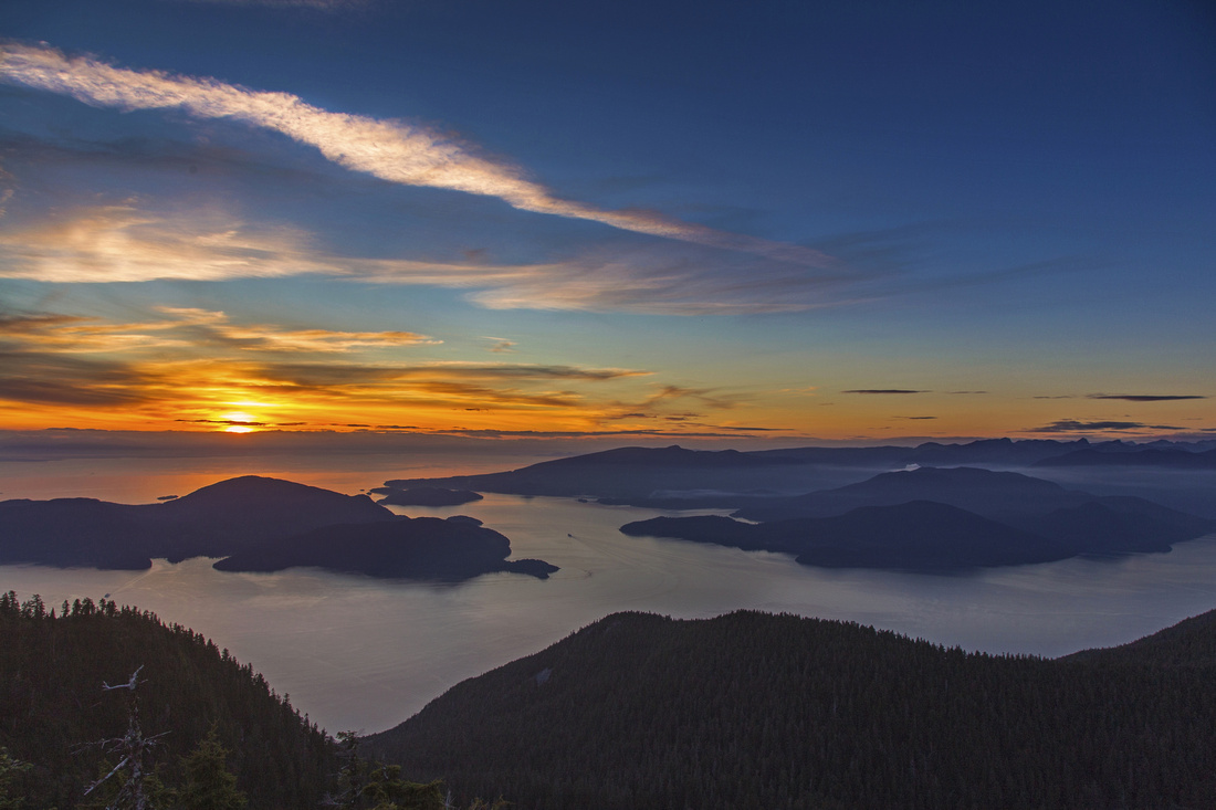
 Fabulous sunset over Howe sound as layer of fog covers Burrard strait
 |
|||
 HSCT and Lions from pond at north peak
 |
|||
 One more sunset shot from north peak
 |
|||
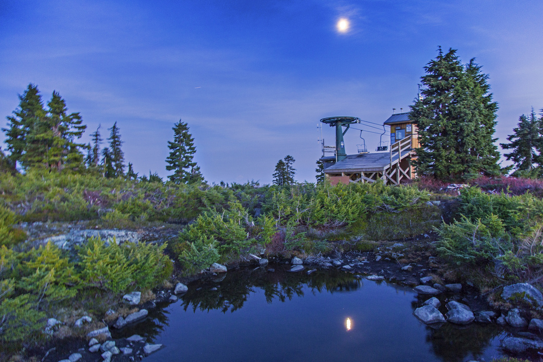 Moonlight reflected in pond near top chair on north peak
 |
|||
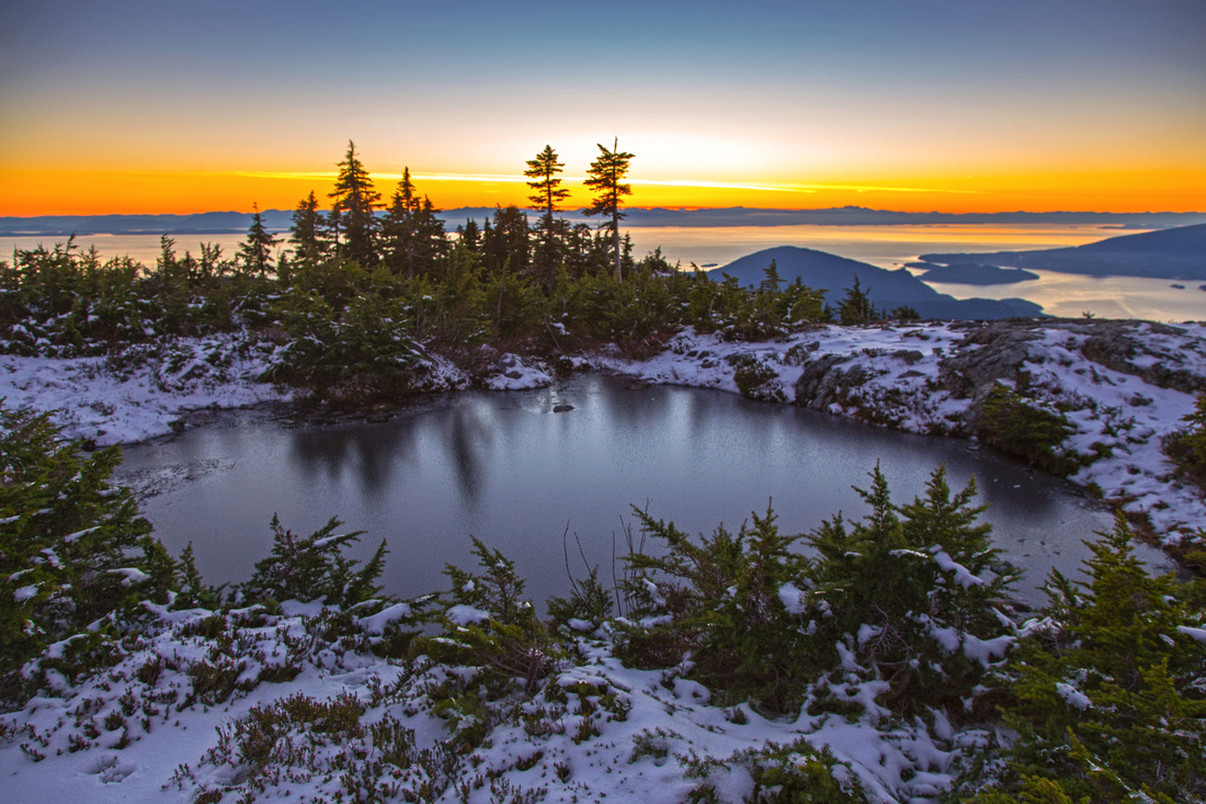
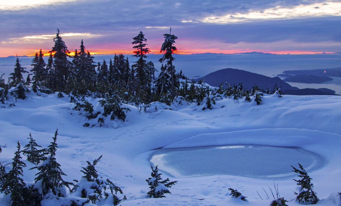 Frozen pond near top chair on north peak
 |
|||
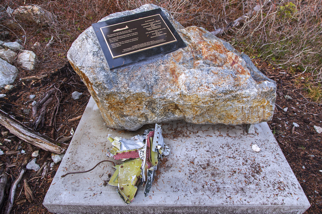 Memorial plaque at downed plane crash site
 |
|||
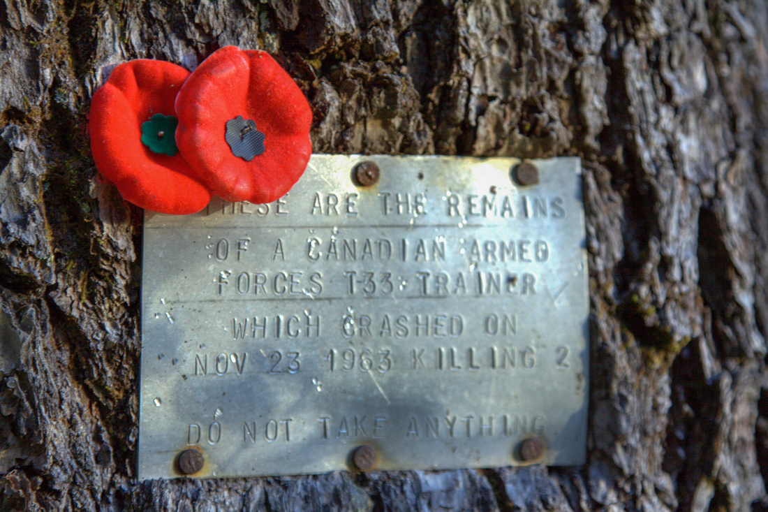 Tree memorial next to downed plane crash site
 |
|||
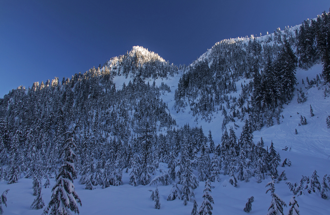
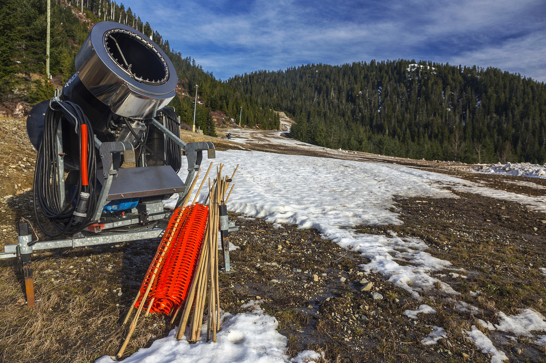 Snow canons on bare ski-run. Hollyburn upper right
 |
Abstract
| Overall Difficulty | D3/4 | Typical north-shore terrain with roots, rocks and small bluffs. Steep gully to saddle between north and south peaks | |||
| Snow Factor | S2(4) | Easy (S2) via ski-runs to South peak; more tricky if traversing to North peak. Christmas gully is steep and avalanche-prone (S4). | |||
| Scenery | Spectacular views of Howe Sound and North Shore mountains. Recommended fall hike (colors, mist) | ||||
| Trail/Marking | Excellent / poor | Well defined HSCT to Strachan meadows followed by flagged route to North peak. Descent from South peak via ski-out is obvious. Optional north-side ascent of Hollyburn occasionally flaged | |||
| Suggested Time | ~4 hrs | Return time for north-south loop. Add ~1 hour for Hollyburn. Less (~3 hrs) for South peak only via ski runs | |||
| Elevation | Start: 920m Max: 1450m Total: ~850m (full loop) | Round Trip: ~12 km (full loop) | |||
| Gear | Day hikers or full boots. Poles essential for stability. Icers/snowshoes mandatory in winter | ||||
| Water | Seasonal stream in Strachan meadows, small ponds afterwards but no reliable source of water. Recommended: Carry ~1-2L | ||||
| Dog Friendly | Yes | Cypress bowl is frequented by black-bears; keep dog under control | |||
 Mt. Strachan GAIA Map
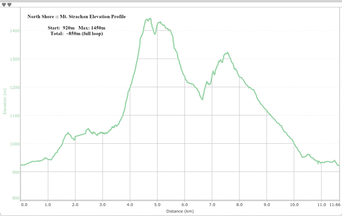 Mt. Strachan Elevation Profile