Google Map |
Rockies :: Kananaskis :: Kent Ridge South |
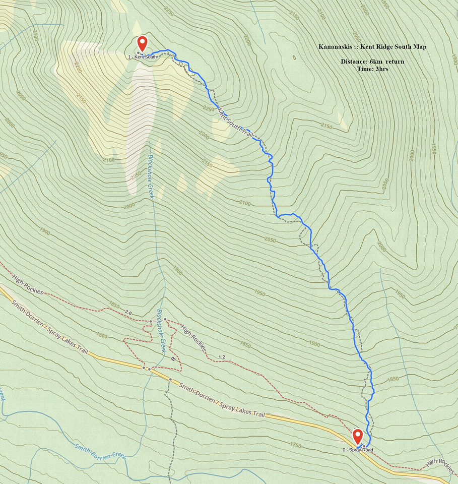
GPS Track |
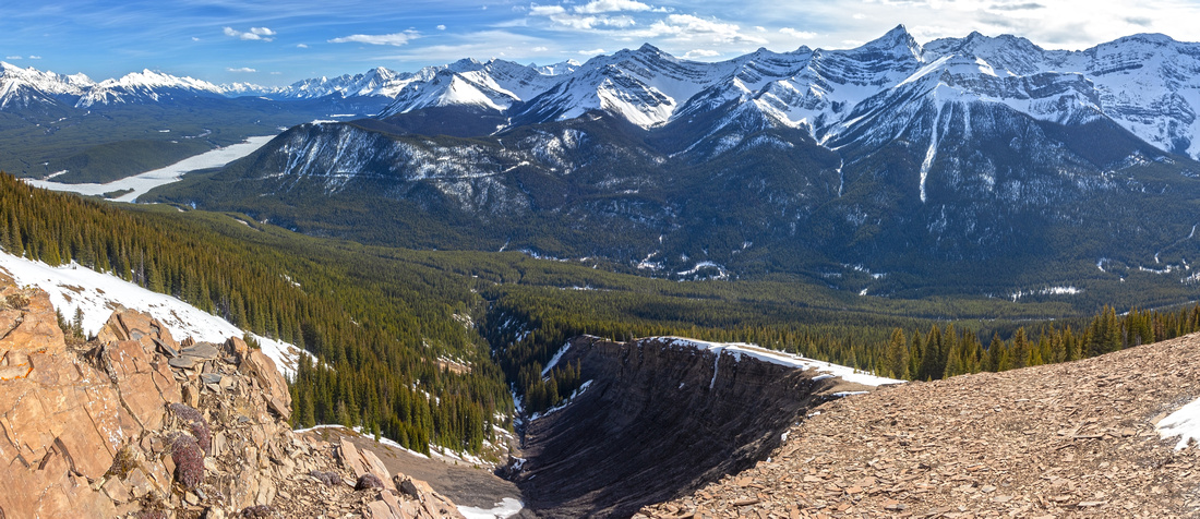 
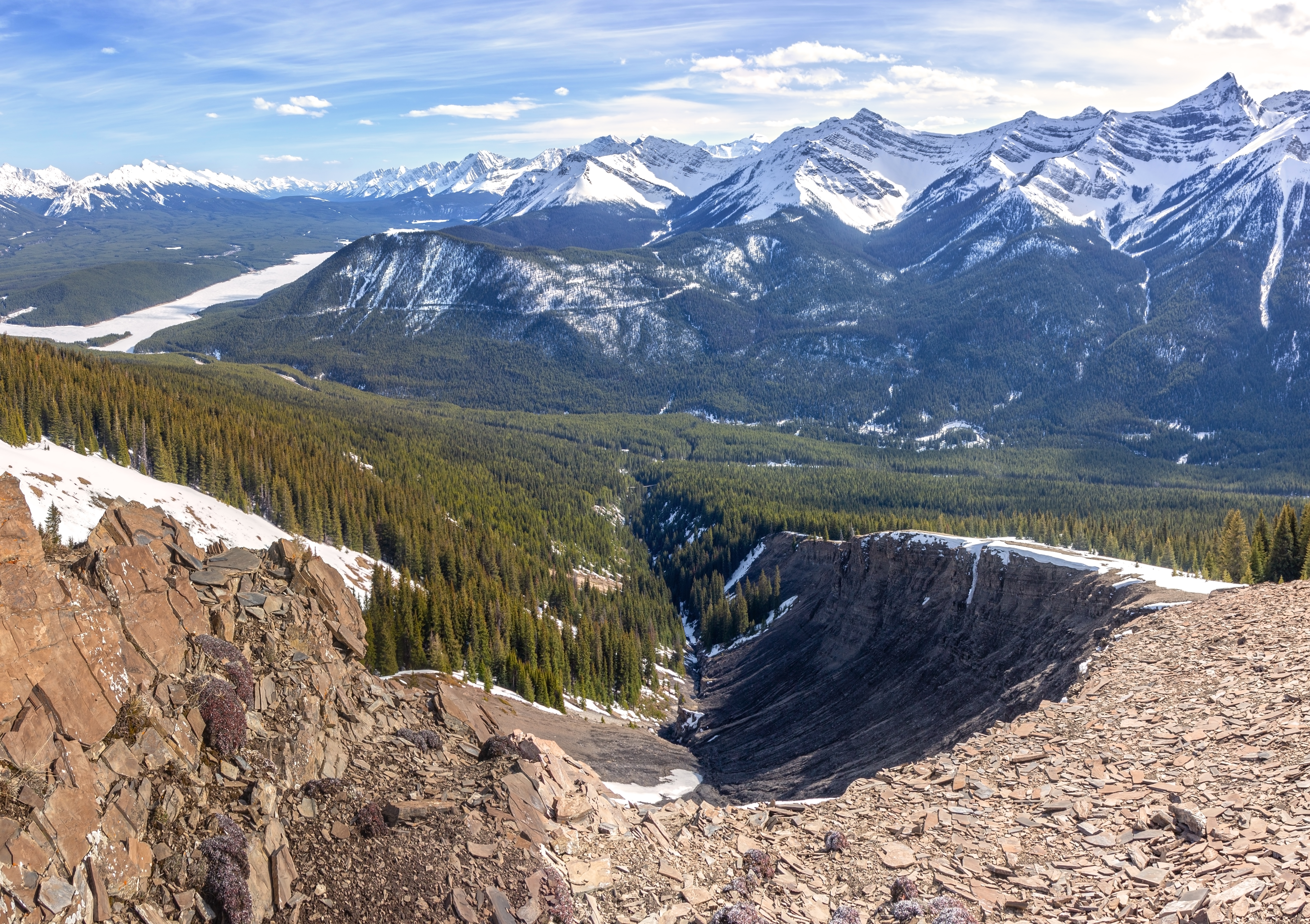
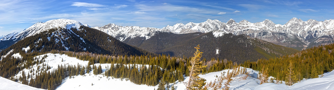
Southerly Panorama looking down Blackshale Creek Drainage from Kent South. Upper K-lake left, Gypsum Ridge to its right. Indefatiguable - Invincible - Warspite Ridgeline upper center right |
|||
| Trip Summary | |||
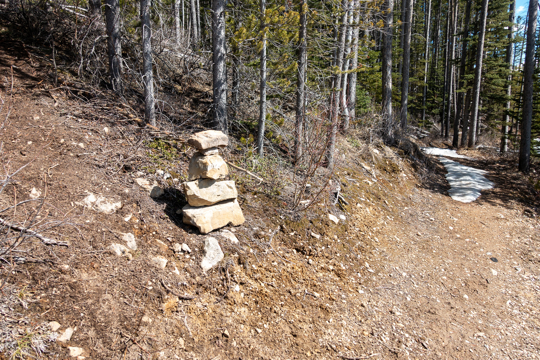
April 23, 2024Long ridge flanking Kent Creek Valley rising above Spray road on east side as one drives towards Canmore from K-Lakes junction. There are several access points; easiest is to trudge south side moderately angled Forested slopes. Tree cover provides avalanche-safe travel in winter and there is usually well broken snowshoe trail. "Trailhead" is tricky to find; drive ~1.5km south from Peninsula day-use and watch for Curving Road sign on right side (first photo in Gallery). Pull over and park here, then after gearing up trash shale bank to junction with High Rockies Trail and look for faint trail heading up the forest - large cairn in Spring '24. Trail is faint and has some deadfall in lower part, but nothing problematic. Grade is constant but not too tiring. About halfway up there are some clearings where snow tends to soften in warm spring conditions - postholing. Just over an hour grade levels and trail crosses large meadow with Kent South directly ahead. Final bit rises bit steeply to "summit" area that often has snowdrift accumulations in winter.
As expected views are terrific; by descending a bit southerly open slopes grants aerial view of Blackshale Creek drainage, that can also be used as Kent South access, better left for summer conditions. Popular Blackshale Suspension Creek bridge can be spotted below. Continuing to Kent Summit and/or traversing entire ridge involves losing ~70m vertical - few people seem to bother in winter. Main visual prize for me was great view of Kent Creek Valley flanked by elegant Lawson - Inflexible Ridge to the east.
If not continuing further, best is to return the same way. Descent will be considerably faster and whole trip - if trail is broken - can be done in 3 hours. |
|
Gallery |
|||
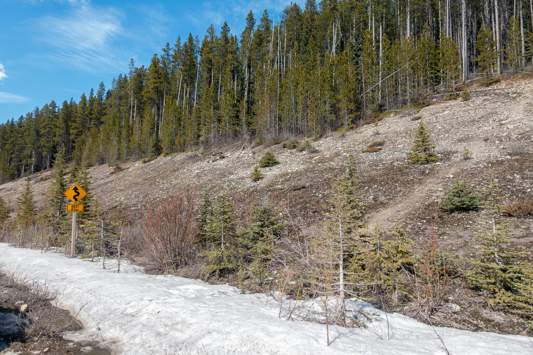 Winding Road Sign
Parking area - Winding Road Sign at right side of Spray Road ~1.5km from Peninsula Day Use Winding Road Sign
Parking area - Winding Road Sign at right side of Spray Road ~1.5km from Peninsula Day Use |
|||
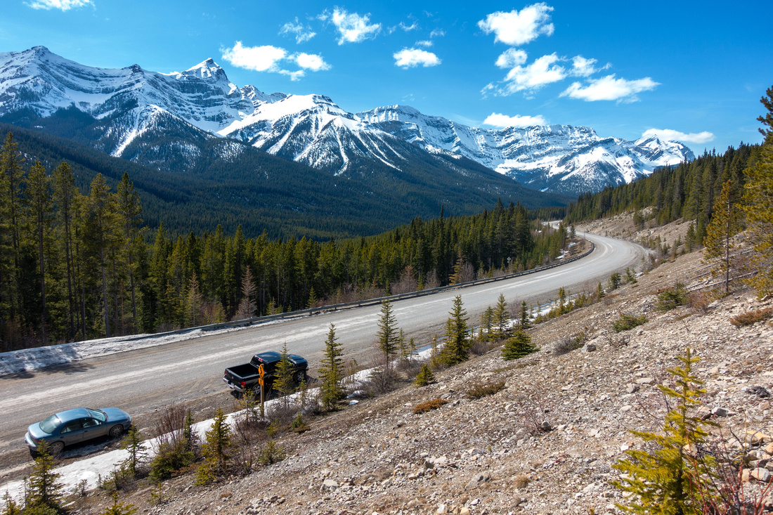 Spray Shoulder
View down to "Parking Area" after ascending talus bank to High Rockies Trail. Note Road Sign from Top Photo Spray Shoulder
View down to "Parking Area" after ascending talus bank to High Rockies Trail. Note Road Sign from Top Photo |
|||
|
|
|||
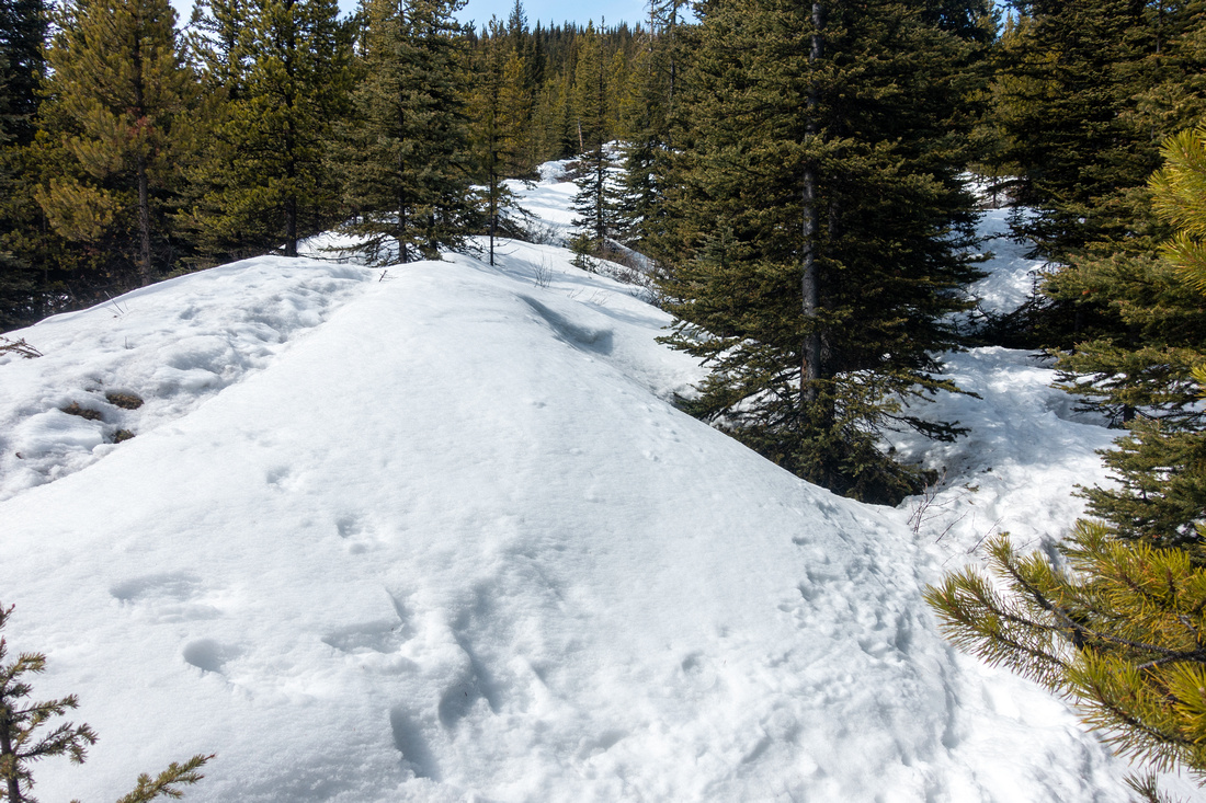
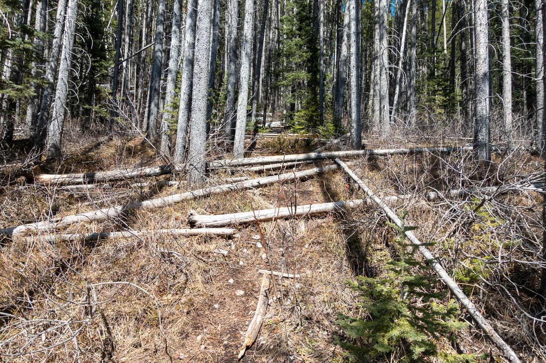 Lower Bushwhack
Some deadfall as trail heads up, but nothing major Lower Bushwhack
Some deadfall as trail heads up, but nothing major |
|||
 Forest Clearing
Forest clearing halfway up - possibility of soft snow / postholing in spring Forest Clearing
Forest clearing halfway up - possibility of soft snow / postholing in spring |
|||
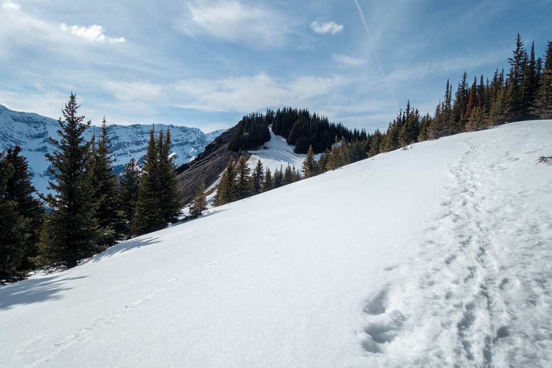 Treeline Views
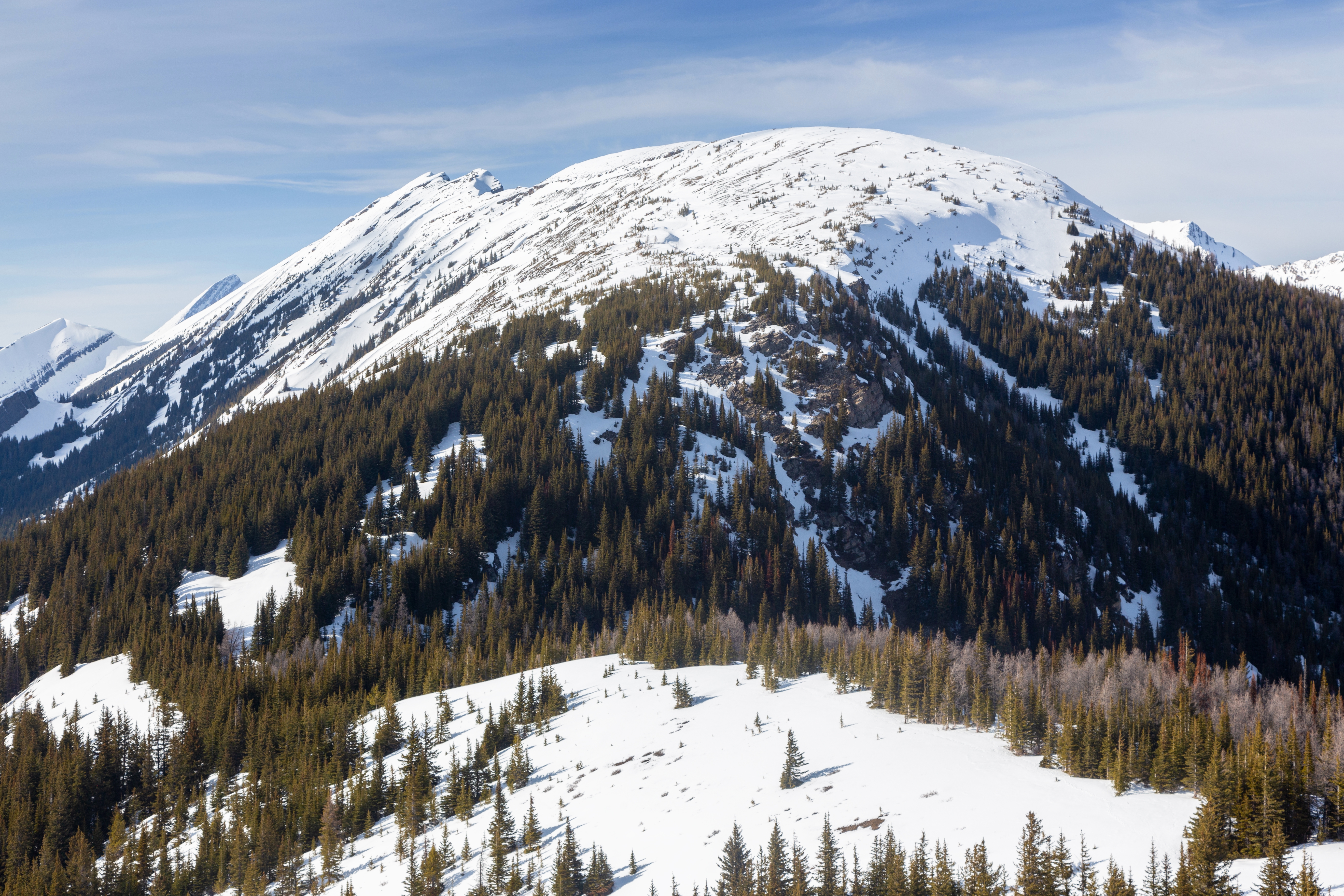
Grade levels as trail reaches treeline. Kent South (C) is ~10 minutes away Treeline Views
Grade levels as trail reaches treeline. Kent South (C) is ~10 minutes away |
|||
 Treeline Meadow
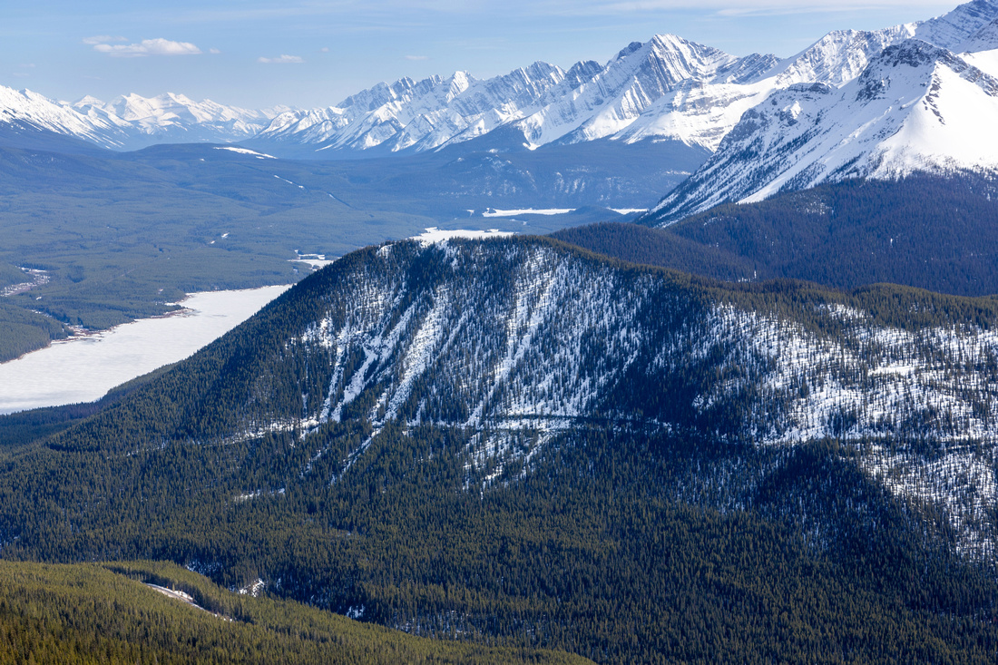
Looking back crossing open area above Blackshale Creek East bank Treeline Meadow
Looking back crossing open area above Blackshale Creek East bank |
|||
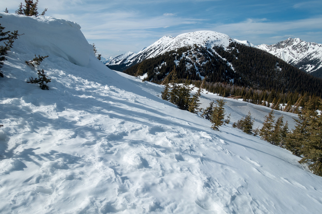 Summit Cornice
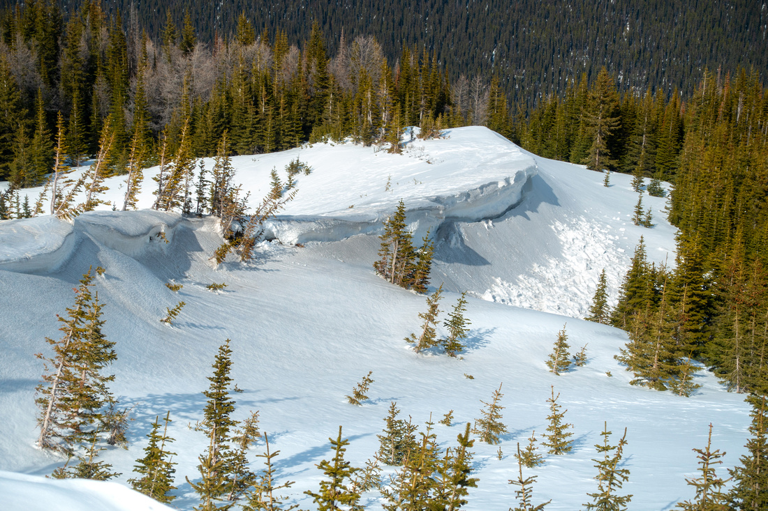
Minor Cornice just below Kent South. Length of Kent Ridge upper center distance Summit Cornice
Minor Cornice just below Kent South. Length of Kent Ridge upper center distance |
|||
 |
|||
 Gypsum Ridge
 Telephoto from Kent South Gypsum Ridge
Gypsum Ridge Telephoto from Kent South |
|||
 |
|||
 Snow Formations
Windblown Snow Formations below Kent South on East side Snow Formations
Windblown Snow Formations below Kent South on East side |
|||
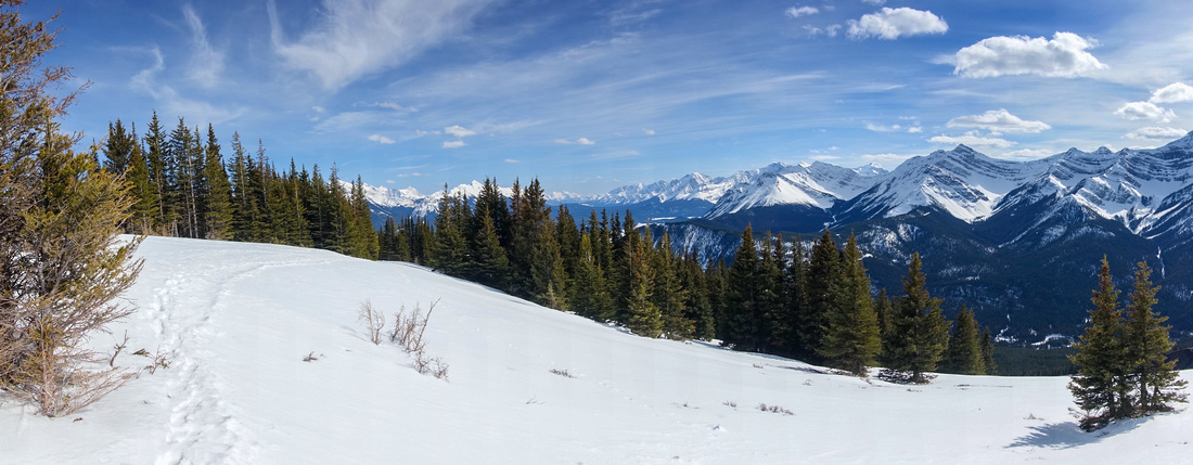
 Kent South Pano
Nice Panorama NE - Kent North left, Length of Little Lawson - Mt. Inflexible Ridge center. Opal Range behind to the right Kent South Pano
Nice Panorama NE - Kent North left, Length of Little Lawson - Mt. Inflexible Ridge center. Opal Range behind to the right |
Abstract
| Overall Difficulty | D3 | Moderately angled forested slopes. Minor bushwhack near start | |||
| Snow Factor | S2 | Low avalanche danger on Forested south slope. Continuing to Kent Summit is more involved | |||
| Scenery | Spray corridor and K-Lakes. Kent Creek valley with elegant Little Lawson - Mt. Inflexible Ridge. | ||||
| Trail/Marking | Poor | Faint trail with occasional flags. Usually well broken in winter | |||
| Suggested Time | 3-4 hrs | Moderate pace, 2hrs up 1hr down + time on summit for South End. Add several hours if continuing to Kent North | |||
| Elevation | Start: 1820m Max: 2365m Total: ~600m | Round Trip: 6km | |||
| Gear | Winter trip: Full hiking boots, Gaiters, Snowshoes / Spikes. | ||||
| Water | None, Snow melt in winter. Carry 1L or more | ||||
| Dog Friendly | Yes | Standard back-country Travel precautions | |||
 Kent Ridge South GAIA Map
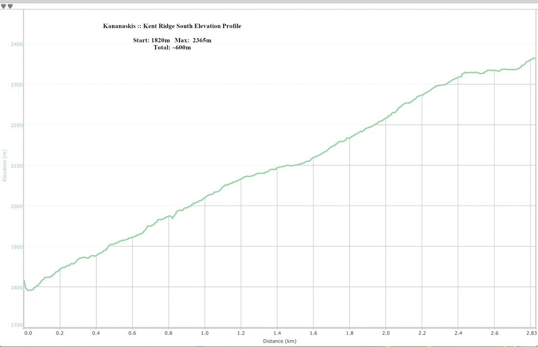 Kent Ridge South Elevation Profile