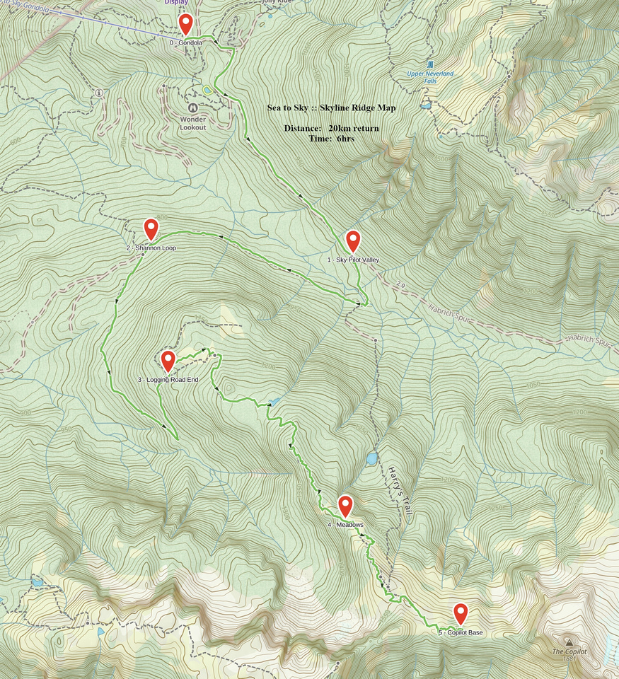
Google Map |
BC Coast :: Sea to Sky :: Skyline Ridge |
GPS Track |
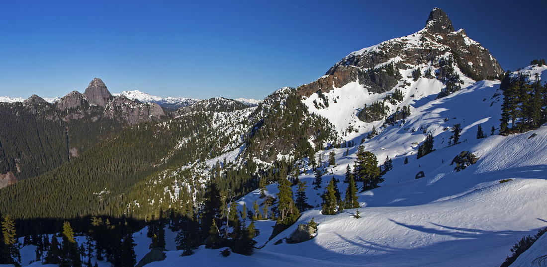 
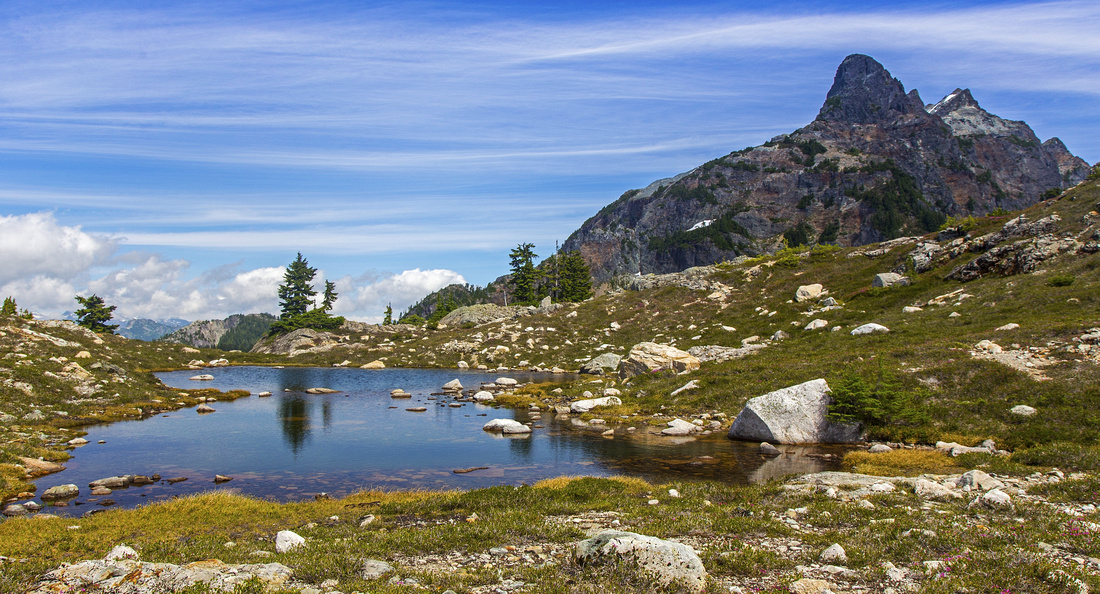
Two main landmarks of Shannon basin - Habrich (L) and Copilot (R) from moderately angled ascent slopes in upper Skyline Ridge |
|||
| Trip Summary | |||
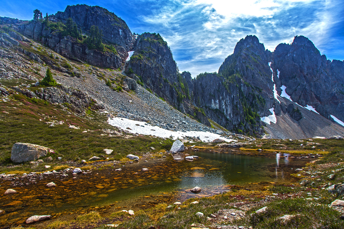
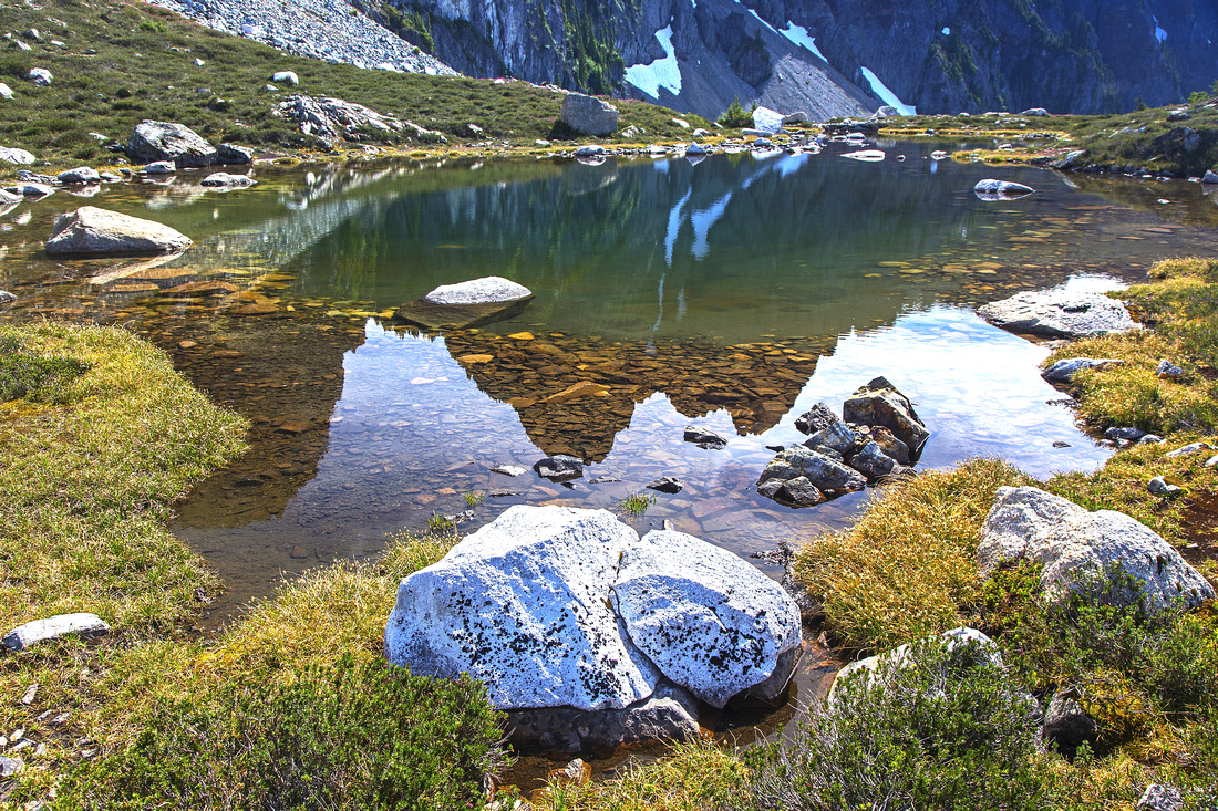
July 14, 2014Best and most scenic day-hike from upper terminal of Sea-to-Sky gondola. Approach is walk on network of logging roads to logging clearcut at west end of Skyline ridge. Pretty sub-alpine forest with many tarns and meadows leads to treeline with many options for further exploration. Views of entire Shannon basin and Sky-Pilot group are fantastic! Trip is feasible both in summer and winter conditions, but keep note of Gondola hours in order to catch last download. Stats are given from upper gondola terminal; trip becomes much longer and more difficult if hiking from/back to Sea-to-Sky corridor. Follow back-country access road for about 25 minutes from upper terminal and go right at junction with Sky Pilot Valley trail; Skyline marker #1 is here. Cross Shannon creek on somewhat iffy foot bridge (March 7 '15), then loopback around west side of forested Skyline ridge keeping left at junction with Shannon Basin trail. Road gets more rough and steeper here and ends at logging clearcut ~1.5 hr into the hike. End of marked trail is at open rise with good views of Habrich ridge. From there narrow, but brushed trail with occasional flagging climbs towards treeline passing many lovely tarns along the way. Trail peters out in meadows at treeline - make mental note of this spot in order to pick it up on return. From there it is well worth continuing up moderately angled talus slope then hiking towards base of Co-pilot across "Lake district" below Goat Ridge. This would be perfect overnight spot as well. Return the same way. It is possible to do full traverse of Shannon basin by connecting Skyline Ridge and Sky Pilot trail via 3rd class terrain on NW flanks of Copilot mountain. Capable scramblers have also ascended Goat Ridge from upper Skyline ridge, but this is very difficult (low 5th class) and can not be recommended. |
|
Gallery |
|||
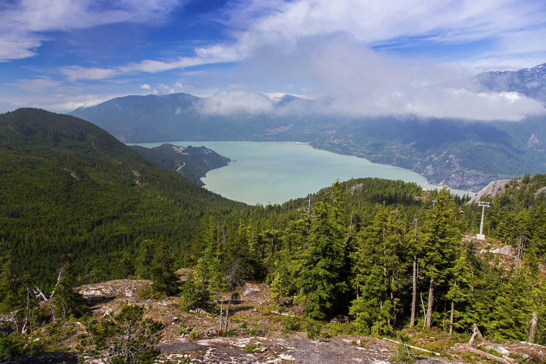 Howe Sound from upper gondola terminal
 |
|||
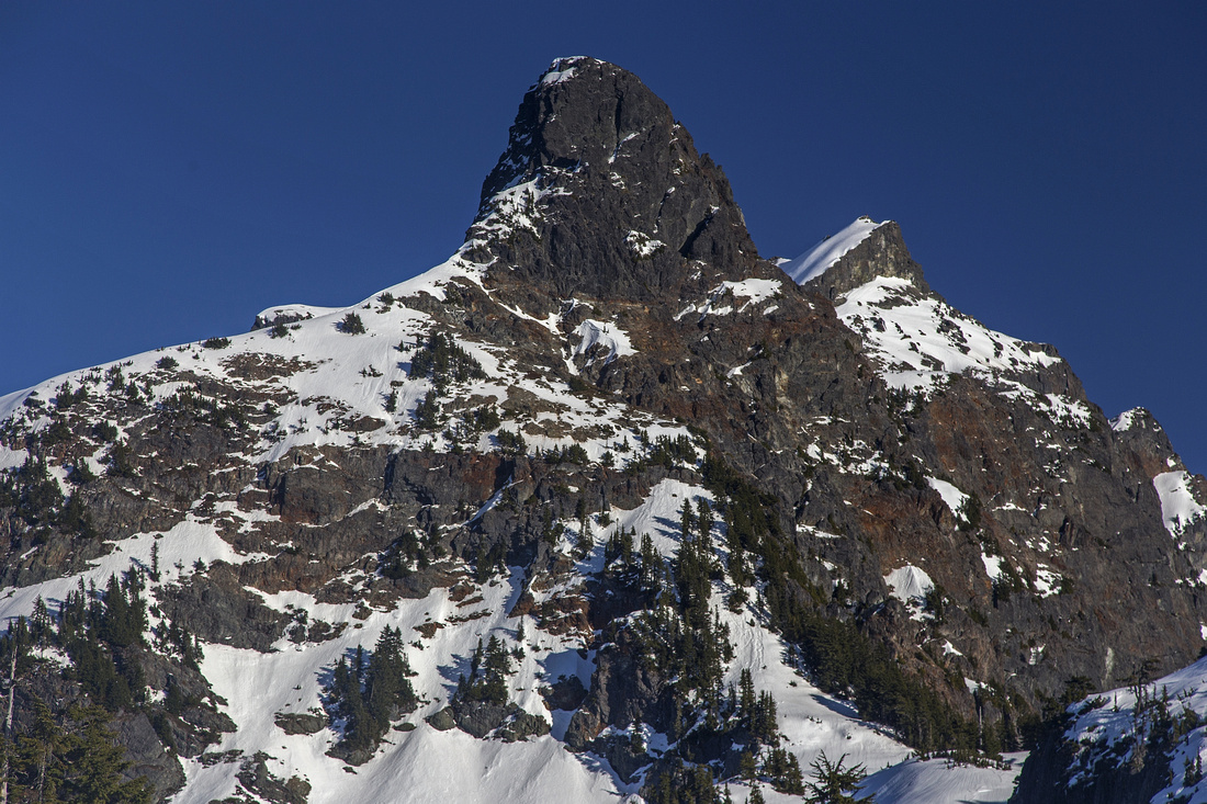
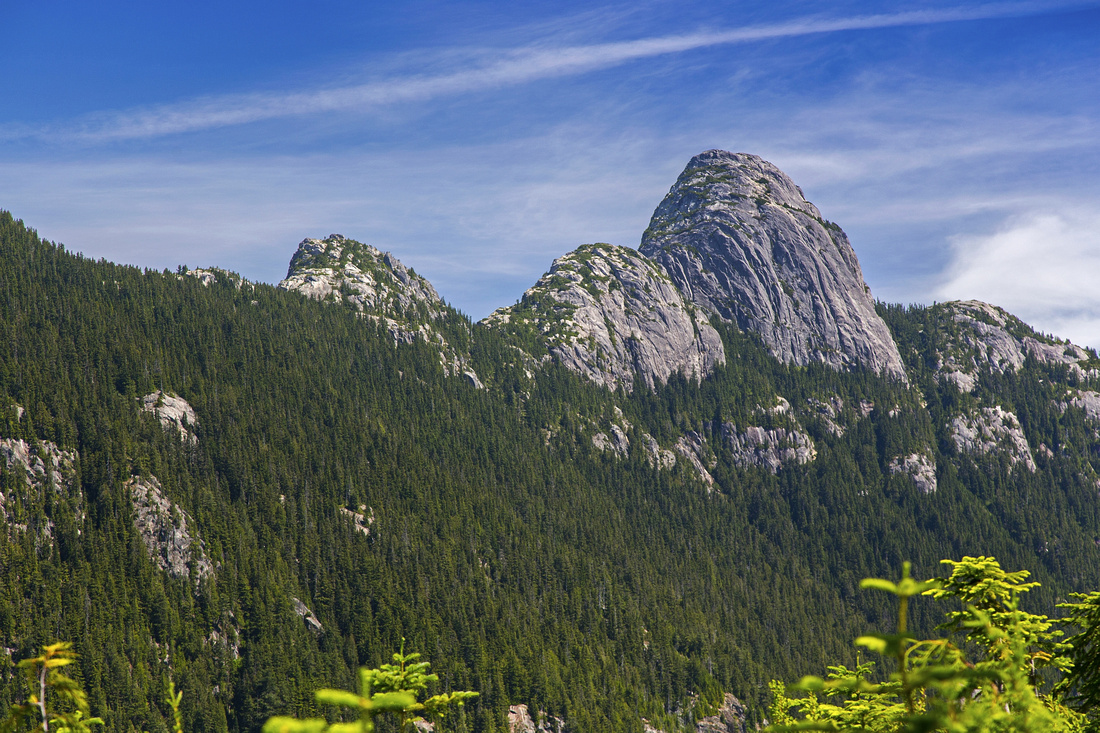 Habrich ridge from clearcut at end of logging road
 |
|||
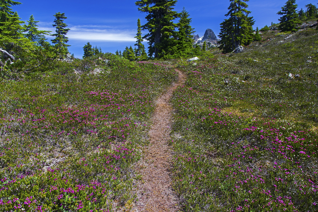 Wildflower carpets as trail exits to treeline
 |
|||
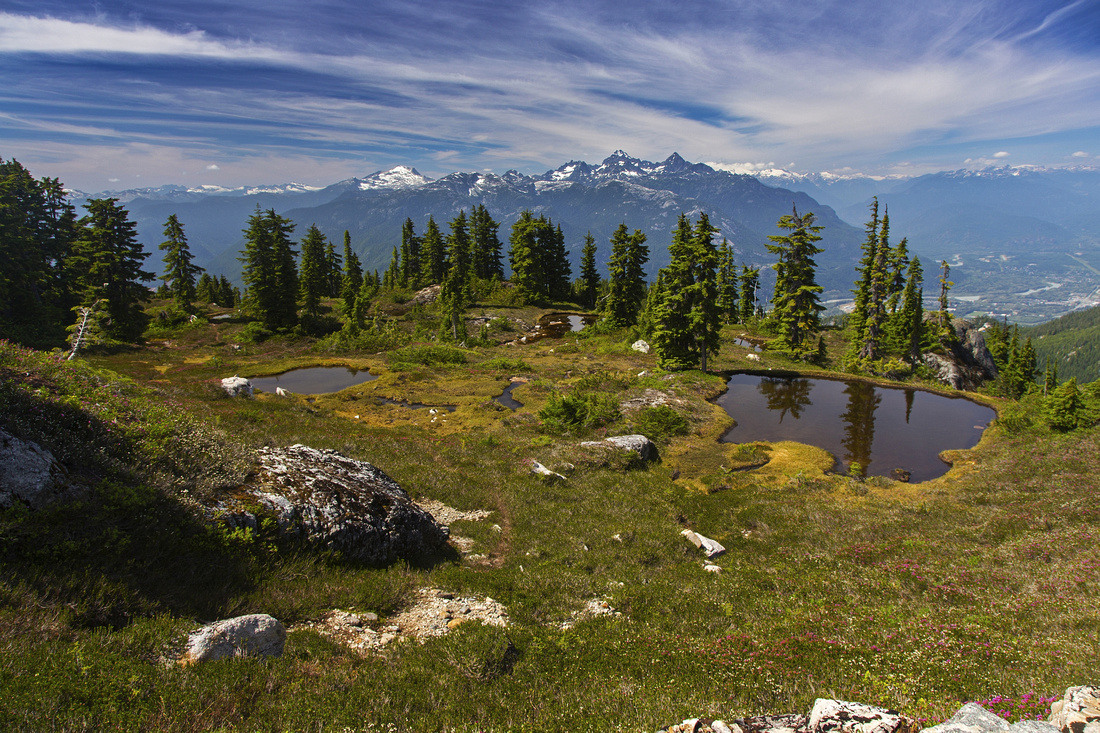 Tarns at treeline; Tantalus range on horizon
 |
|||
 Habrich from gentle slopes leading to upper ridge
 |
|||
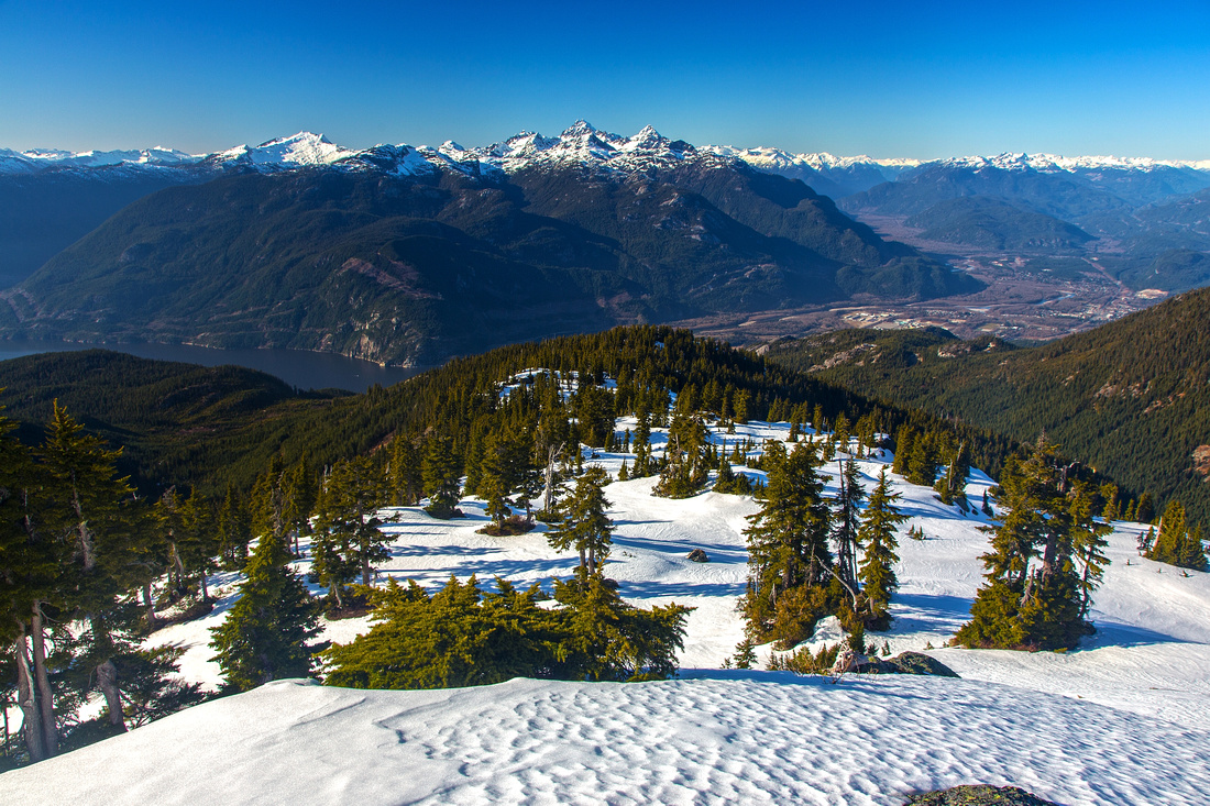 Squamish Valley with Skyline ridge in foreground
 |
|||
 Sky Pilot group from upper ridge; Copilot in center
 |
|||
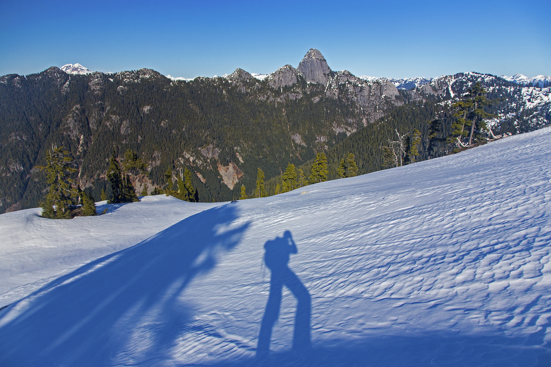
 Perfect camping spot in upper ridge
 |
|||
 Goat Ridge connector. Crux (low class 5) near top
 |
|||
 Lovely Tarn and Goat Ridge reflections
 |
Abstract
| Overall Difficulty | D4 | Logging road walk followed by moderately steep trail to treeline. Off-trail exploration in alpine | |||
| Snow Factor | S3 | Some steep but short sections. One open but wide and moderately angled slope in upper alpine | |||
| Scenery | Outstanding views of Shannon basin, Tantalus range and Sky Pilot group. Scenic tarns and meadows in upper ridge | ||||
| Trail/Marking | Good/Poor | Gondola markers to logging clearcut. Brushed trail with occasional flagging to treeline, none after | |||
| Suggested Time | 6 hr | Return time from upper Gondola terminal. Allow 1-2 hours more for exploring of upper alpine | |||
| Elevation | Start: 900m Max: 1600m Total: ~850m | Round Trip: 20km | |||
| Gear | Hiking boots and poles; snowshoes or micro-spikes in winter | ||||
| Water | Shannon creek 30 min past gondola terminal. Many tarns in upper ridge, but no reliable source of water. Carry 2-3 L | ||||
| Dog Friendly | Yes | No on-leash restrictions. Note that dogs are allowed only for download on Squamish gondola | |||
 Skyline Ridge GAIA Map
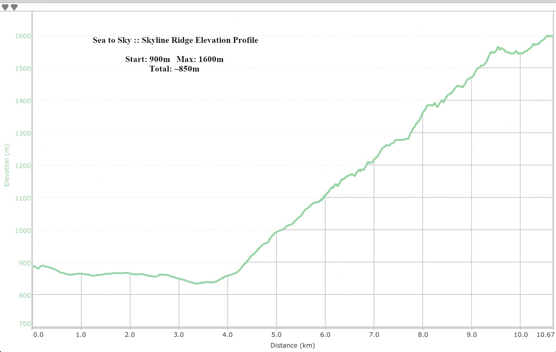 Skyline Ridge Elevation Profile