Google Map |
BC Coast :: Squamish to Whistler :: Rainbow Lake |
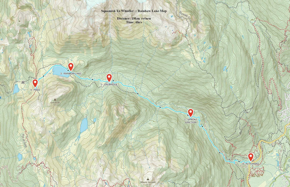
GPS Track |
Rainbow Lake from bridge over outlet on east side |
|||
| Trip Summary | |||
February 28, 2015
Popular outing up 21 Mile creek valley on west side of Whistler Townsite that can be done as summer day trip, backpack or winter snowshoe. Pretty lake at base of Rainbow Mountain in situated in very scenic surroundings. Attractive option is circumventing the lake on north side, then hiking up to the ridge on Whistler / Callaghan divide for great views of Hanging lake (campground) and many distant snow-caped peaks. Standard scrambling route up Rainbow mountain, described in BC Scrambles guidebook, can also be studied from there. Many options for further exploration exist; equally attractive is just to spend few hours snoozing in the meadows by lake shoreline. Return is the same way, but with 2 vehicles 1-way crossover to Callaghan valley can also be done. Trailhead is at Alta Lake road, few minutes past Whistler cemetery. Follow markers and signs at initial couple of junctions, then settle for steady slog up old forest road. Past wooden fence some 40 mins into the hike road reverts to trail and starts steady ascent up 21 Mile creek valley. First bridge is crossed just past an hour mark, followed by swamped meadows. Wooden planks help here, but expect muddy boots . Gin and Tonic bridge, removed in winter, is reached near 2 hour mark. Final ascent to the lake is more steep, but not long; trail continues along the north side of the lake. Whistler / Callaghan divide can be reached in about 30-40 minutes from bridge at Rainbow Lake outlet. |
|
Gallery |
|||
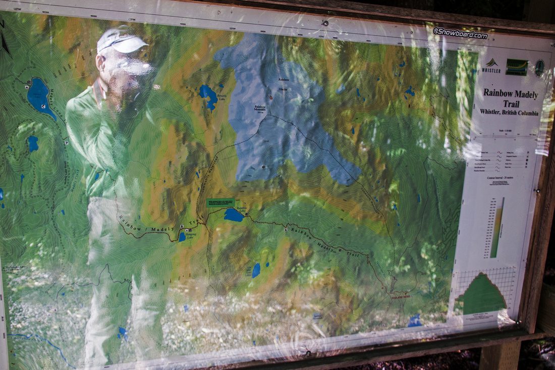 Rainbow / Madely Map at Alta Lake Road Trailhead
 |
|||
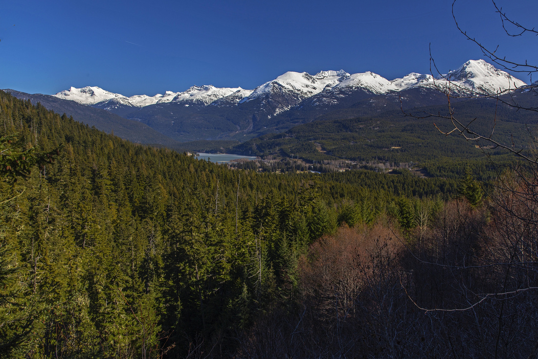 Whistler and Wedge group ~20 min from trailhead
 |
|||
 Crossing of 21 Mile creek in upper meadows
 |
|||
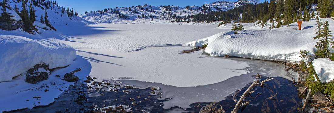
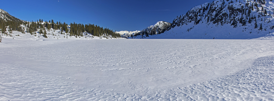
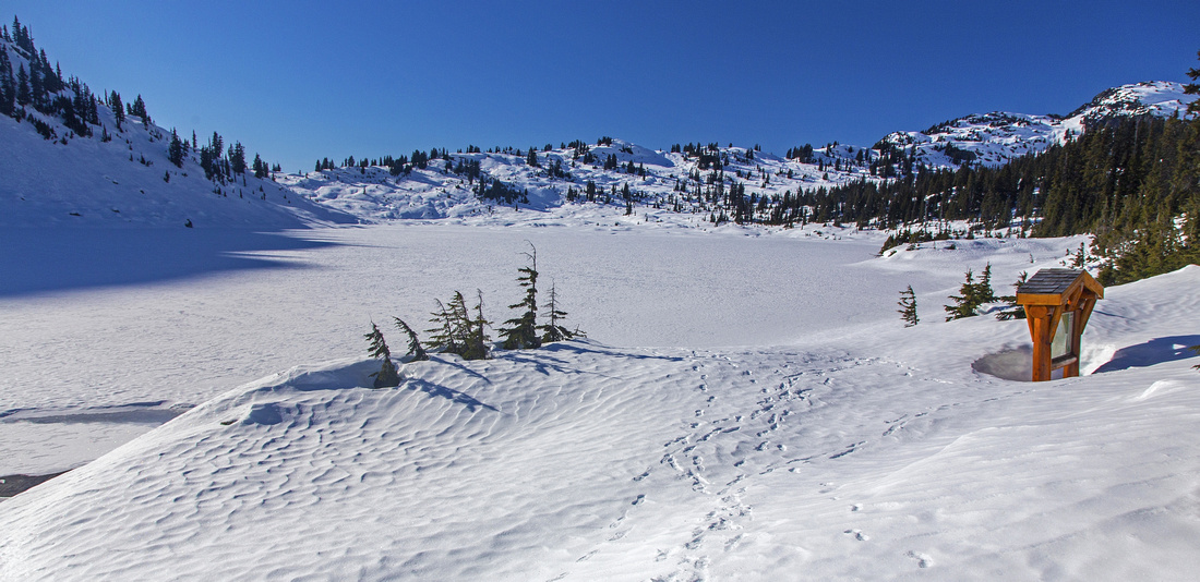 Rainbow Lake in winter. Whistler/Callaghan divide across
 |
|||
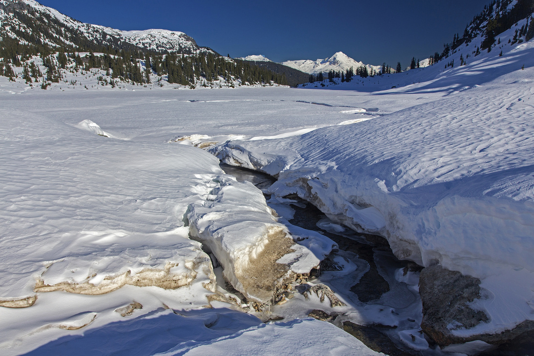
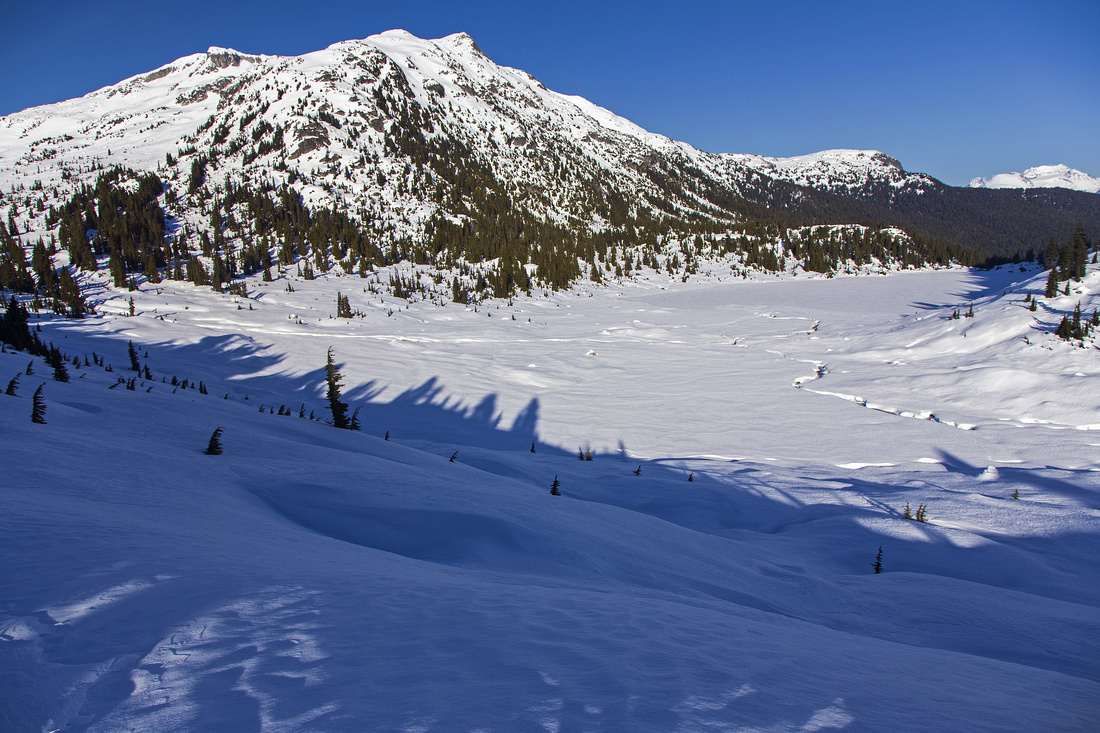
 Looking east from bridged outlet of Rainbow Lake
 |
|||
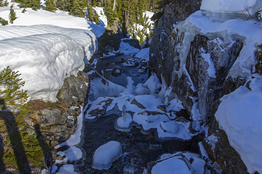
 Cool snow canyons at west side of Rainbow lake
 |
|||
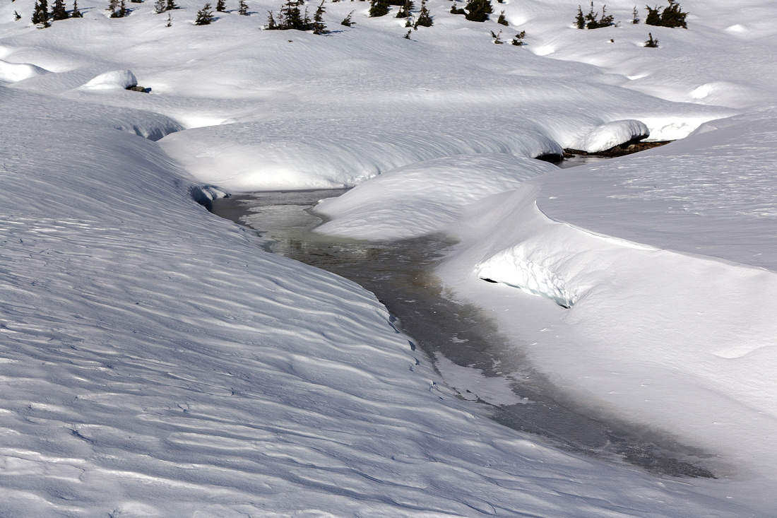 Snow and Ice formations in Rainbow Basin
 |
|||
 Wide panoramic view at west side; Wedge far on the horizon
 |
|||
 Hanging Lake from ridge on Whistler/Callaghan divide
 |
|||
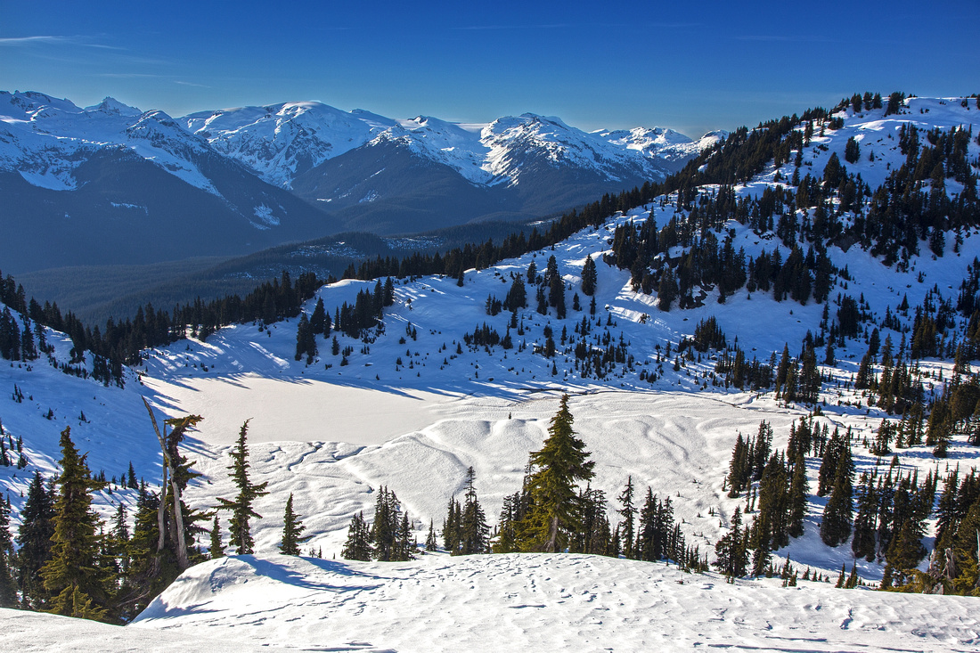
 Rainbow Lake basin from Whistler/Callaghan divide
 |
|||
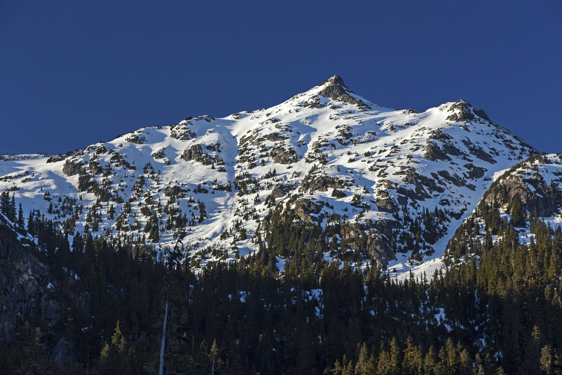 Rainbow Peak from meadows near Gin and Tonic bridge
 |
|||
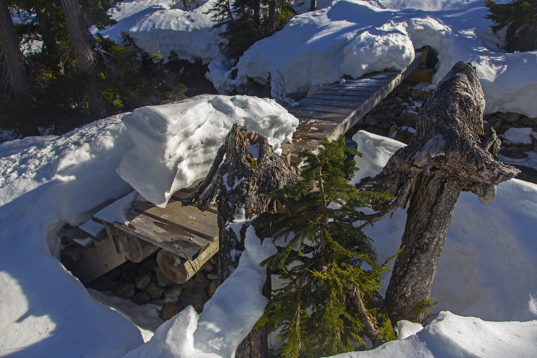
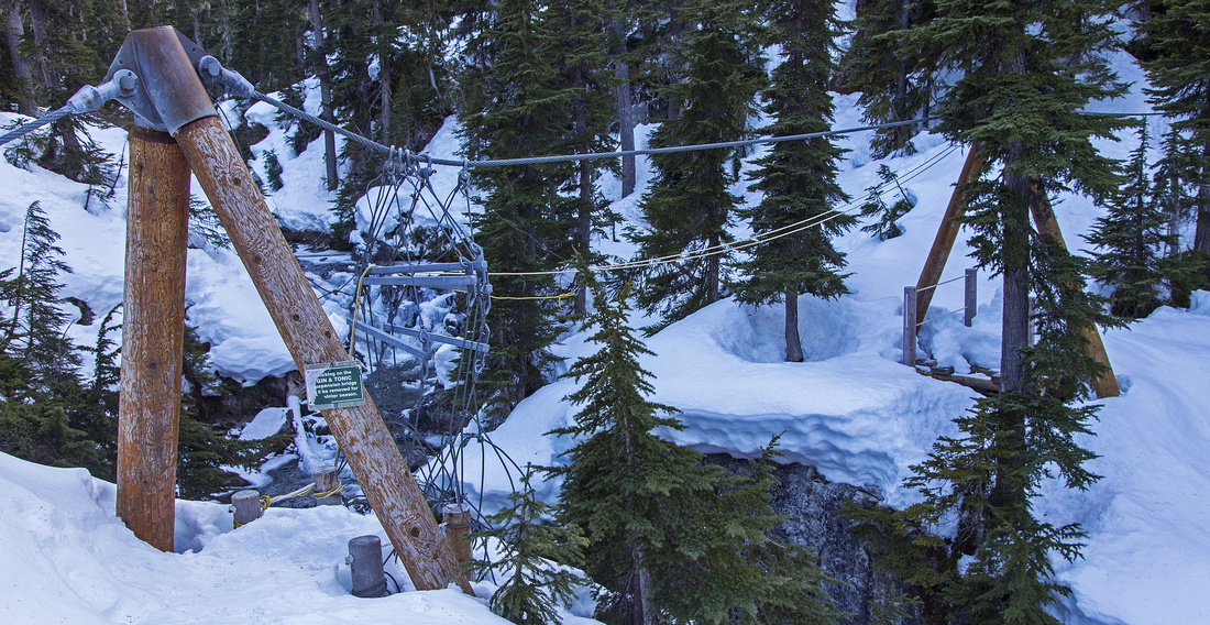 Gin and Tonic bridge with deck removed for winter season
 |
Abstract
| Overall Difficulty | D3/4 | Well defined and used trail with moderately steep sections. Some swampy and rough parts. Much off-trail meandering in upper basin. Deck over bridge over Gin and Tonic creek removed in winter and requires crossing downstream | |||
| Snow Factor | S3 | Low avalanche risk snowshoe trail. Possibility of hard crust and/or ice | |||
| Scenery | Pretty alpine lake and meadows. Far reaching views from Whistler / Callaghan divide | ||||
| Trail/Marking | Excellent | Well-marked and maintained trail with bridged creek crossings | |||
| Suggested Time | 5-6 hr | To lake only; allow several hours more for exploration of Rainbow Basin | |||
| Elevation | Start: 680m Max: 1460m (Rainbow Lake) Total: ~800m | Round Trip: 18km (Rainbow Lake) | |||
| Gear | Light hikers (summer) or full hiking boots. Gaiters helpful for swampy meadows. Snowshoes or micro-spikes in winter | ||||
| Water | 21 mile creek; Gin and Tonic creek. Several side streams. Carry 1-2 L | ||||
| Dog Friendly | Yes | No on-leash restrictions. Terrain should pose no problems | |||
 Rainbow Lake GAIA Map
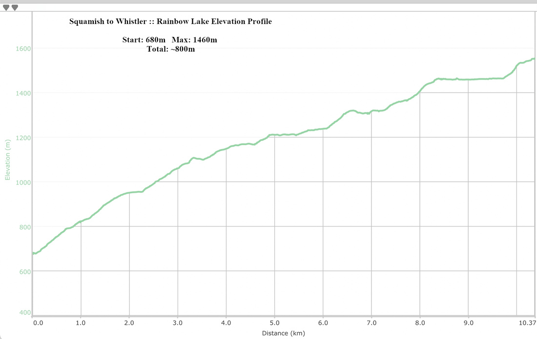 Rainbow Lake Elevation Profile