Google Map |
Rockies :: Yoho :: Mt. Kerr |
GPS Track |
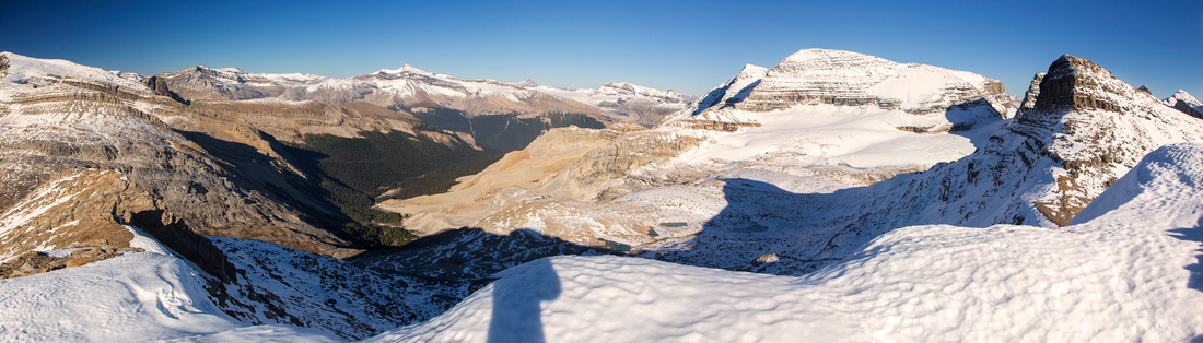 
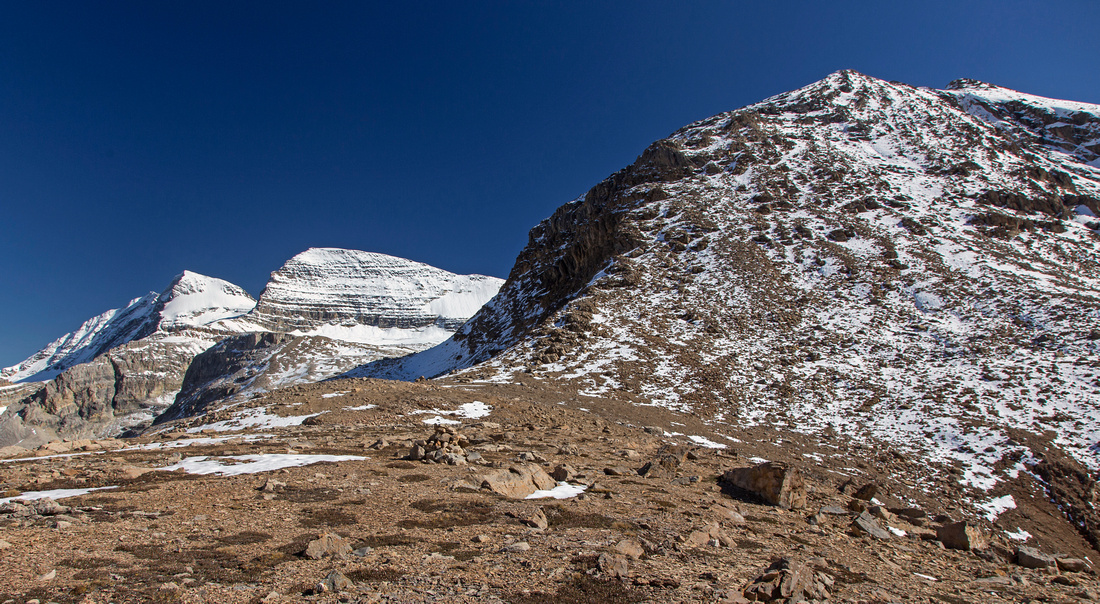
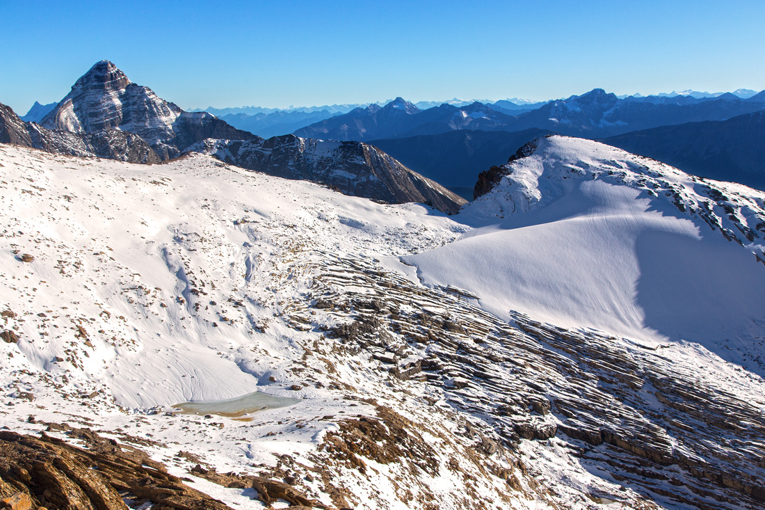
Mt. Kerr summit views. Little Yoho center left, Wapta above, Presidents right. Pyramid shaped cone far right is higher, but unnamed |
|||
| Trip Summary | |||
September 11, 2015Mt. Kerr is one of classic Kane scrambles in Yoho National Park. Popular option is to overnight at Little Yoho valley (campground or Stanley Mitchell Hut), then day hike from there in which case peaks on other side of Kiwetinok pass can be included. However for fit group Mt. Kerr is feasible as day hike from parking at takakkaw Falls. Hike in can be done via either Yoho Valley trial (9.5 km, ~2hr) or Iceline (more scenic, but longer ~3hr); both options join in the valley near start of Kiwetinok Pass trail. Trail to the pass is well defined but requires several non-bridged glacial creek crossings; these are usually easy in late summer or early fall. Above the pass scramble follows Mt. Kerr north ridge and in dry conditions it is generally easy/moderate with one harder step near the summit. Shallow snow cover in early snowfall years considerably complicates things because of precarious boulders and shallow moats in upper parts of talus slope. Alternate descent (or ascent) is possible by dropping in glacial cirque between Mt. Kerr and the Presidents, then hiking back down talus and small benches back to Kiwetinok Pass. Summit views are fantastic and include many distant Wapta peaks, Presidents as well as Mt. Carnarvon which does not look like a scramble from this angle. Next bump on Kerr ridge is actually higher, but not labelled as summit on the maps; it can be included (moderate), but probably not feasible if day-hiking due to overall length. |
|
Gallery |
|||
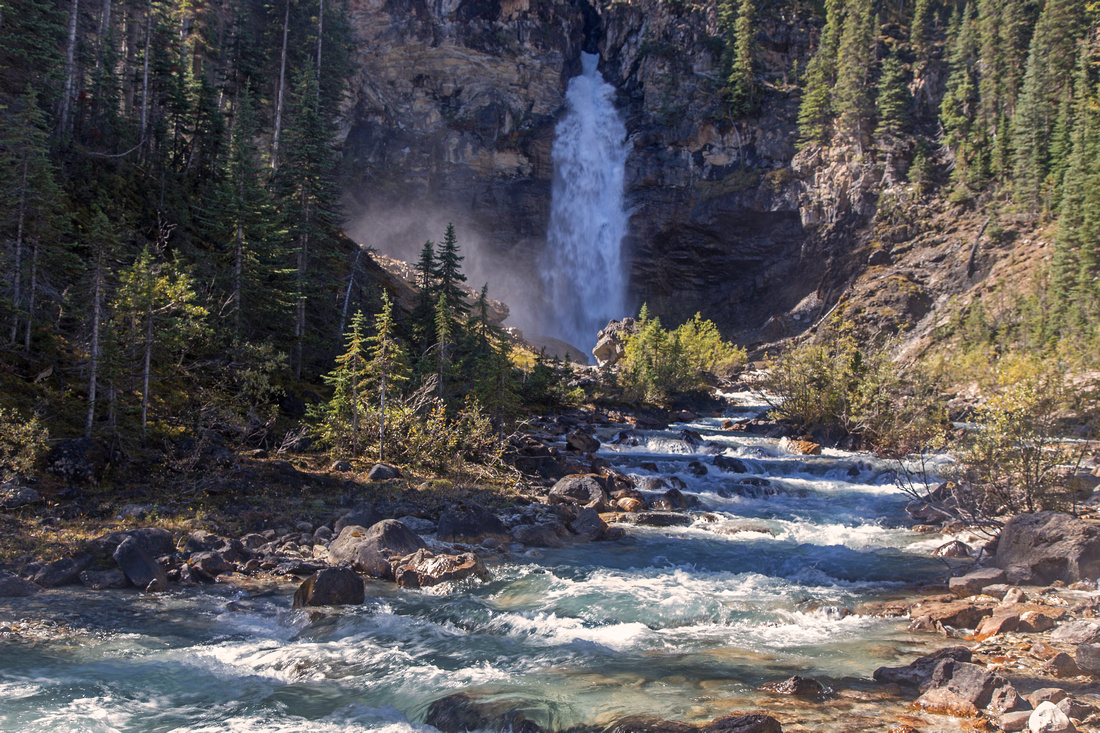 Laughing Falls near Little Yoho Junction on Yoho Valley Trail ~4km from Takkakaw parking
 |
|||
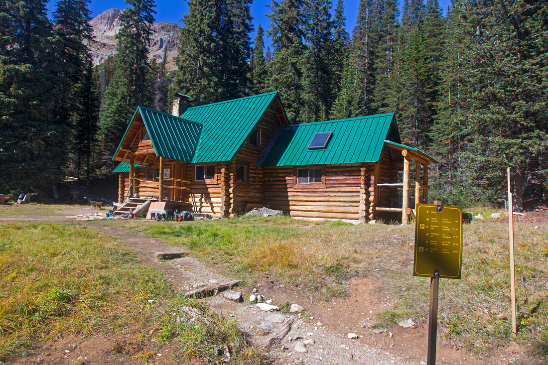
Stanley Mitchell Hut in Little Yoho, ~2hr of fast pace |
|||
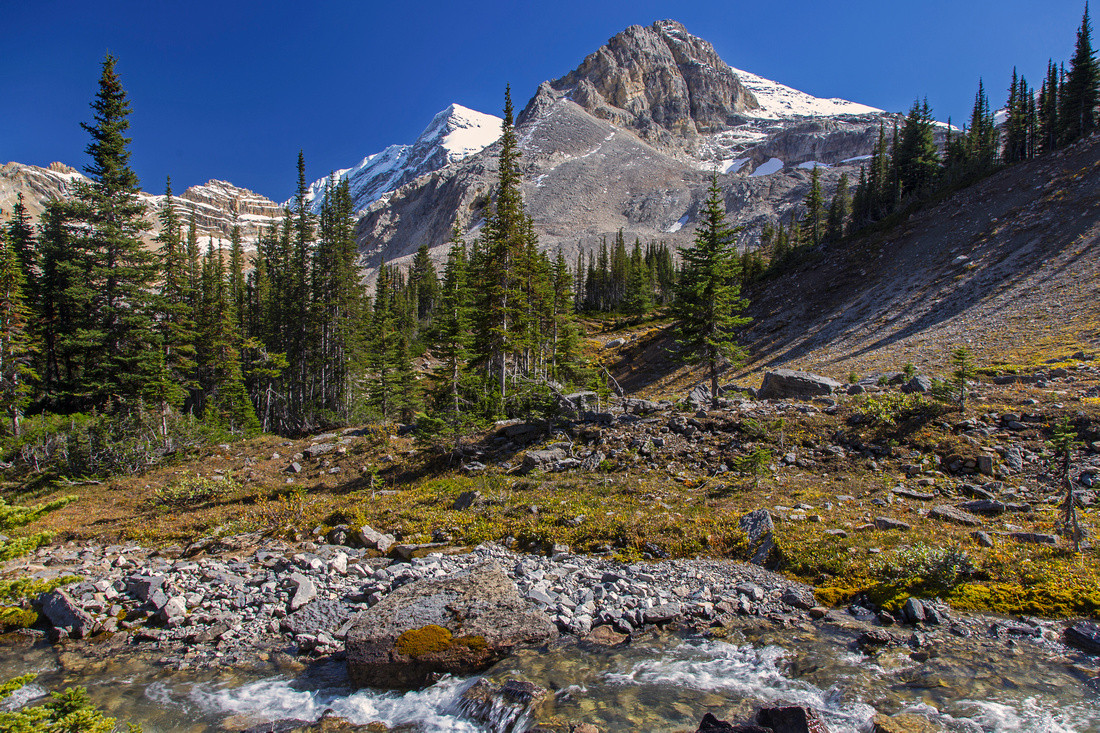
Little Yoho valley past the Hut; Mt. Kerr upper center |
|||
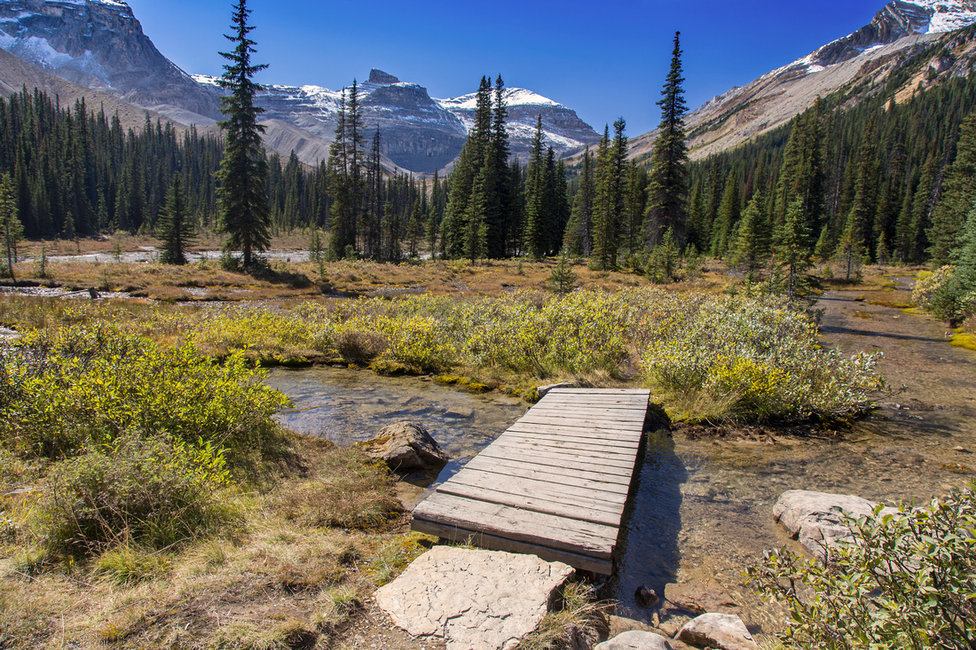
Views towards the Presidents along Kiwetinok Pass trail |
|||
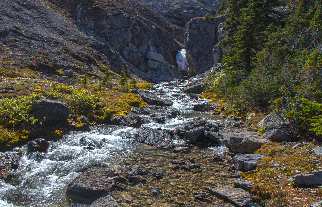
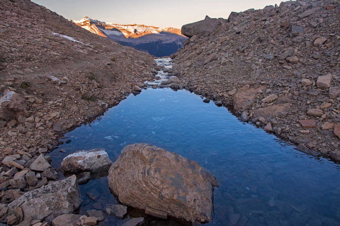
Kiwetinok creek waterfall just before steep ascent to Kiwetinok Pass |
|||
Trail rapidly gains elevation heading to Kiwetinok Pass |
|||
Approaching the pass. Mt. Kerr left, Mt. Kiwetinok right |
|||
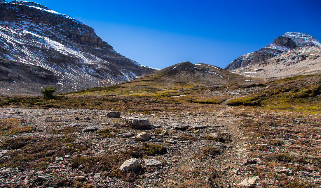
View back to the Presidents from Kiwetinok Pass |
|||
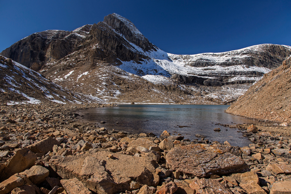
Kiwetinok Lake and Pass, about 1hr from Stanley Mitchell Hut |
|||
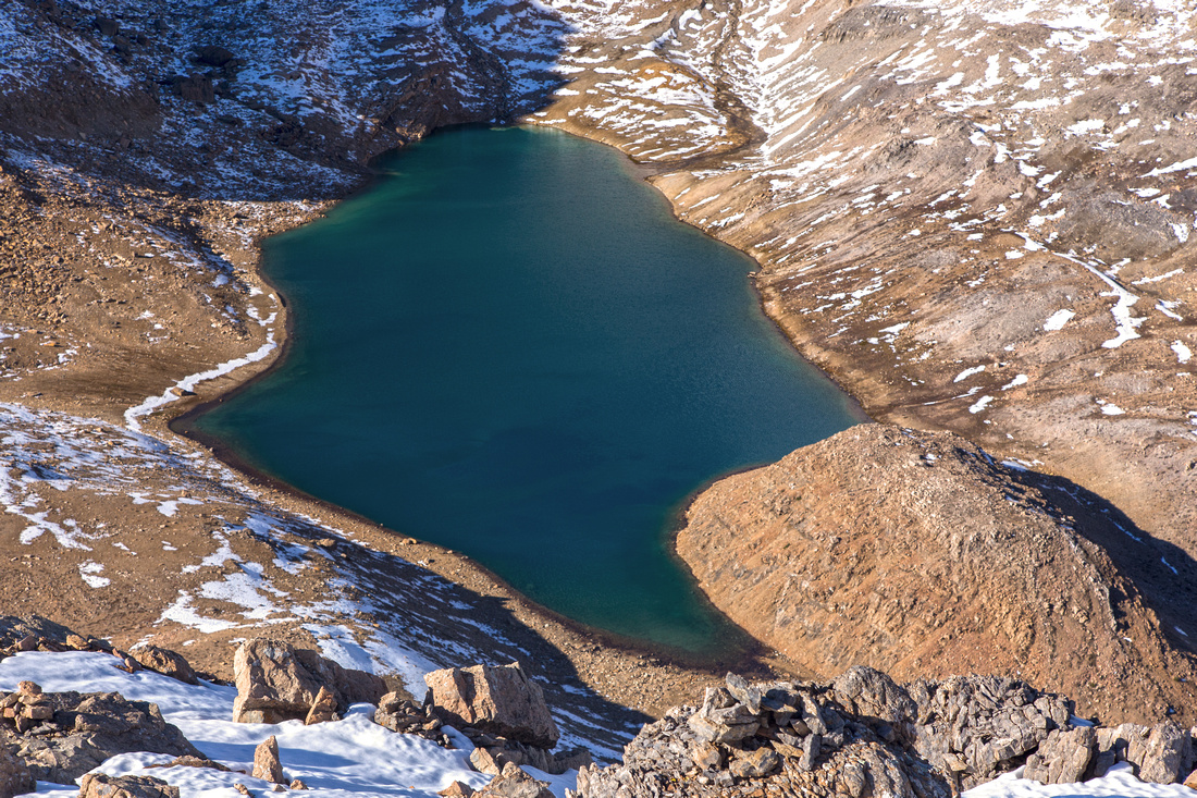
Kiwetinok Lake from talus bench below Mt. Kerr |
|||
Views west to British Columbia on other side of Kiwetinok Pass |
|||
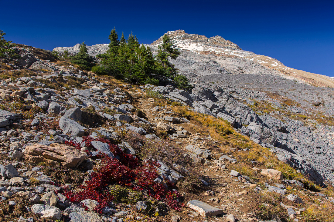
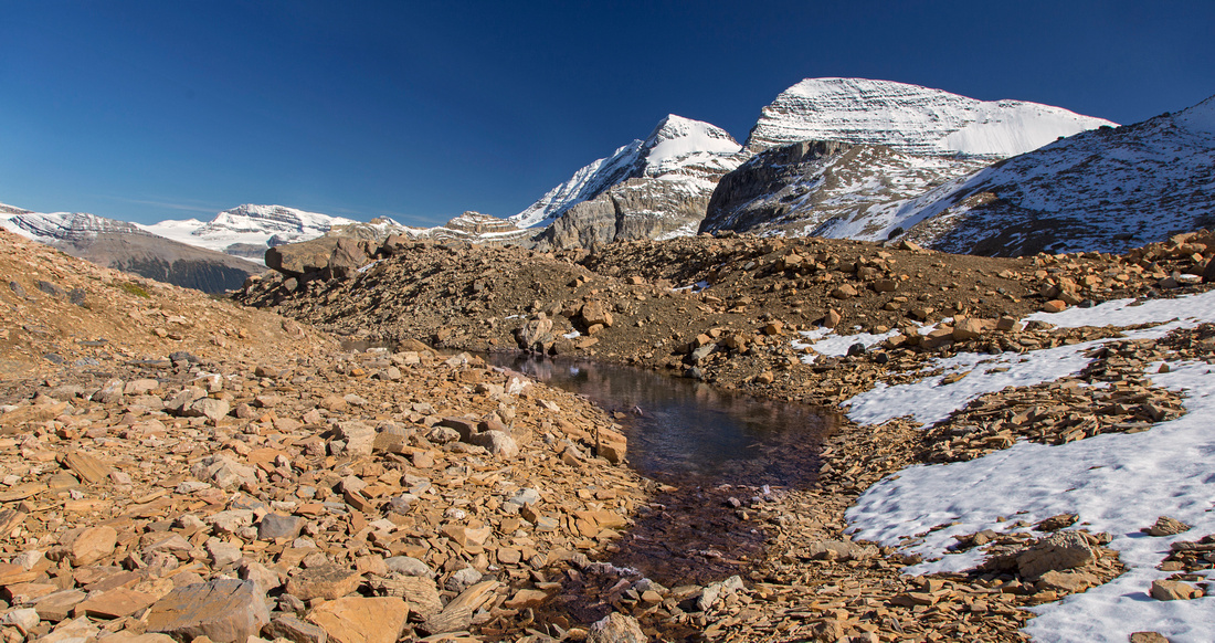
Ascent talus slopes of Mt. Kerr. Presidents to the left |
|||
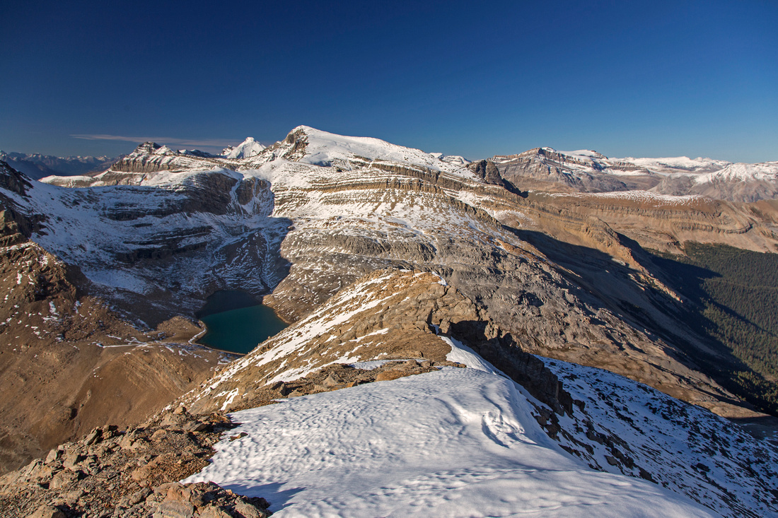
Views back to Kiwetinok Lake and Pass from Kerr ridge |
|||
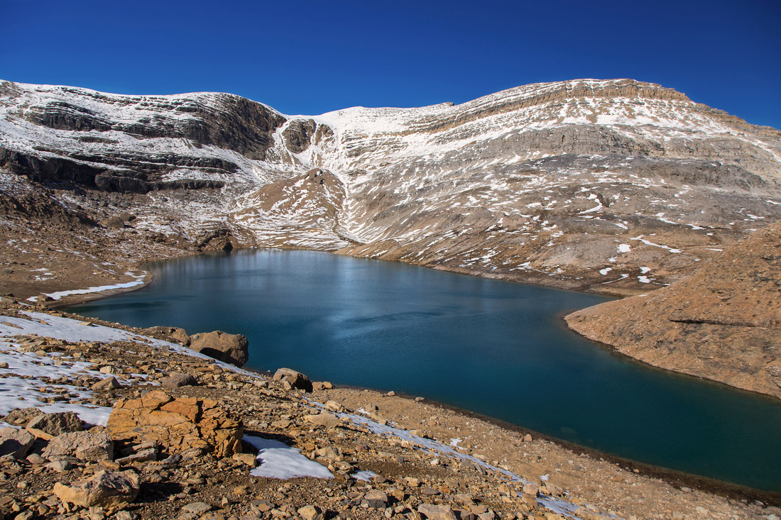
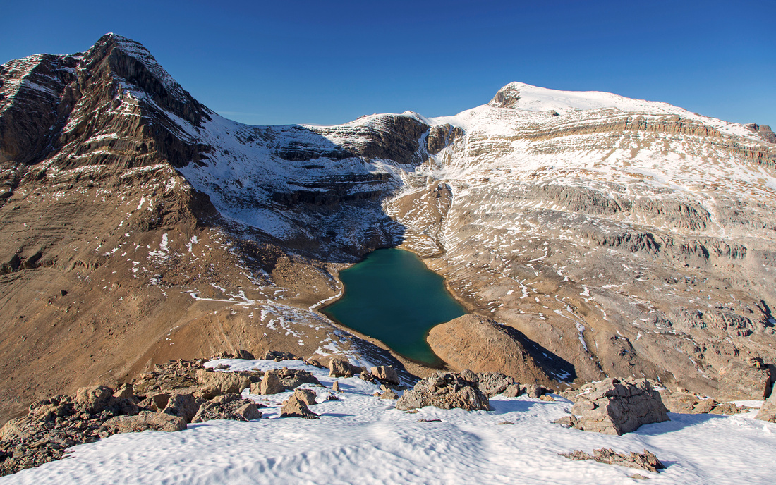
Zoom on Kiwetinok Lake from ascent slopes of Mt. Kerr |
|||
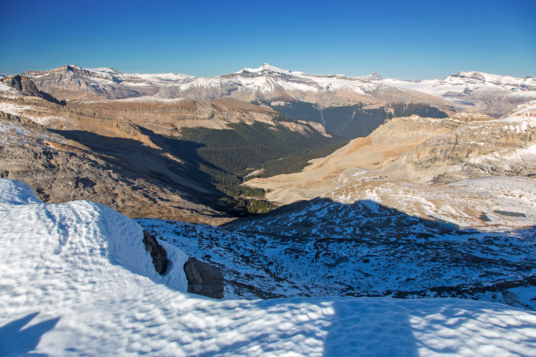
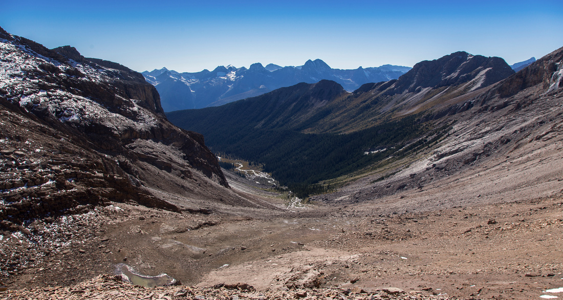
Summit views to Little Yoho valley from Mt. Kerr |
|||
Cirque SW of Mt. Kerr. Mt. Carnarvon upper left |
|||
Ridge extending from Mt. Kerr towards the Presidents |
|||
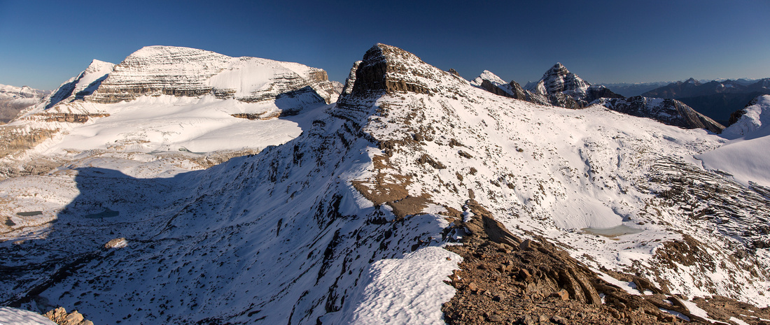
Summit views back from Mt. Kerr ascent ridge |
|||
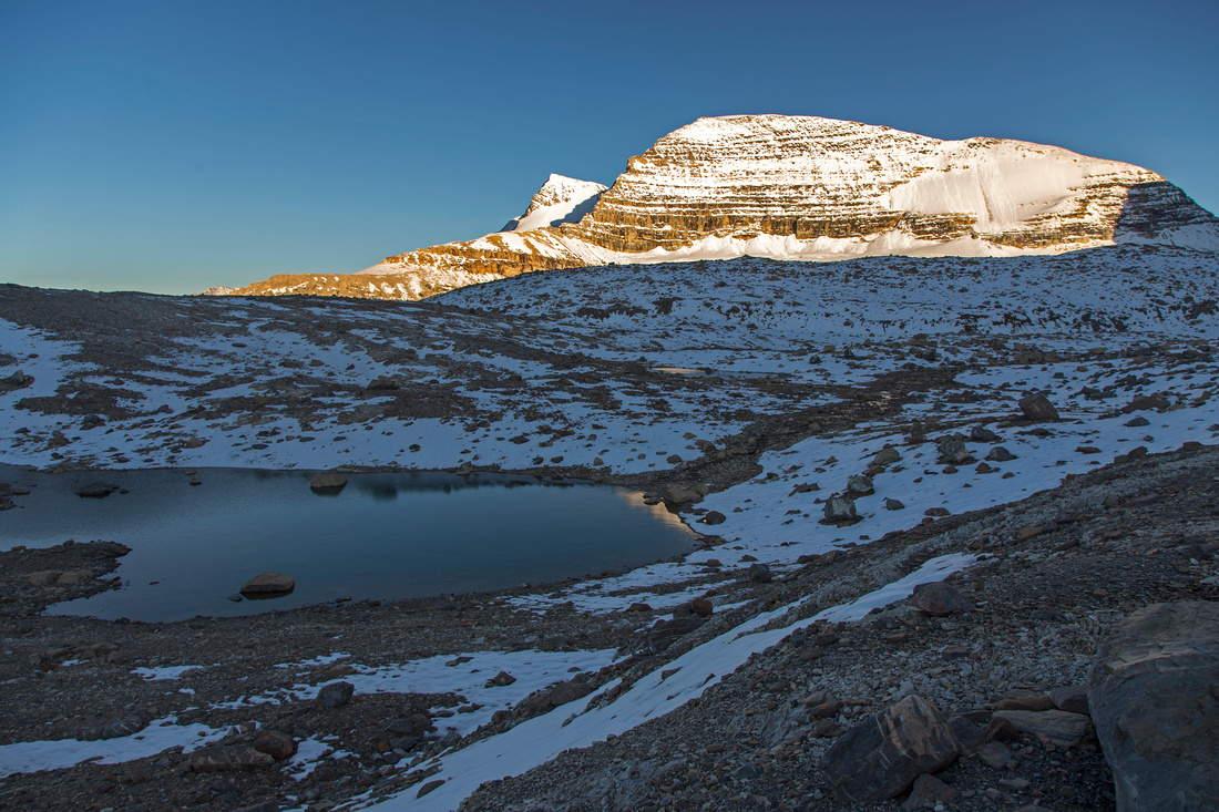
Tarn in glacial cirque below the Presidents on alternate descent to Kiwetinok Pass |
|||
Dusk at Kiwetinok pass; Wapta in the distance |
Abstract
| Overall Difficulty | D6 | Very long day scramble or backpack. Unbridged glacial creek crossings. Talus/boulder scramble with some steep parts in upper half. 4-5 m rock wall with one harder step in upper ridge | |||
| Snow Factor | S3 | Shallow snow cover makes things very awkward. With full snow cover ice axe / crampons might be required, although winter ascent is not frequently done due to length of approach. | |||
| Scenery | Essential Rockies. Several waterfalls on approach - starting with tourist but spectacular Takakkaw Falls right at the parking. Pretty Little Yoho valley, glaciated Presidents and several other peaks. Views of Wapta Icefield and many other peaks from the summit | ||||
| Trail/Marking | Good / none | Official wide park trail to Stanley Mitchell Hut in Little Yoho. Well defined trail to Kiwetinok pass with several cairns. Cairns on Mt. Kerr ascent ridge | |||
| Suggested Time | 11 hr | Return time from Takakkaw Falls with moderate to fast pace. 5 hr (return) from Stanley Mitchell Hut. Alternate hike in (out) via Iceline will add an hour (each way) compared to Little Yoho valley trail | |||
| Elevation | Start: 1550m Max: 2810m Total: ~1350m (Takakkaw Falls) | Round Trip: ~30km (Takakkaw Falls) | |||
| Gear | Hiking boots and poles. Gaiters helpful for ascent ridge. Ice Axe suggested for winter ascent. | ||||
| Water | Many creeks and glacial melts all the way to Kiwetinok pass, none for Mt. Kerr. No need to carry more than 1-1.5L | ||||
| Dog Friendly | Yes | Standard bear precautions | |||
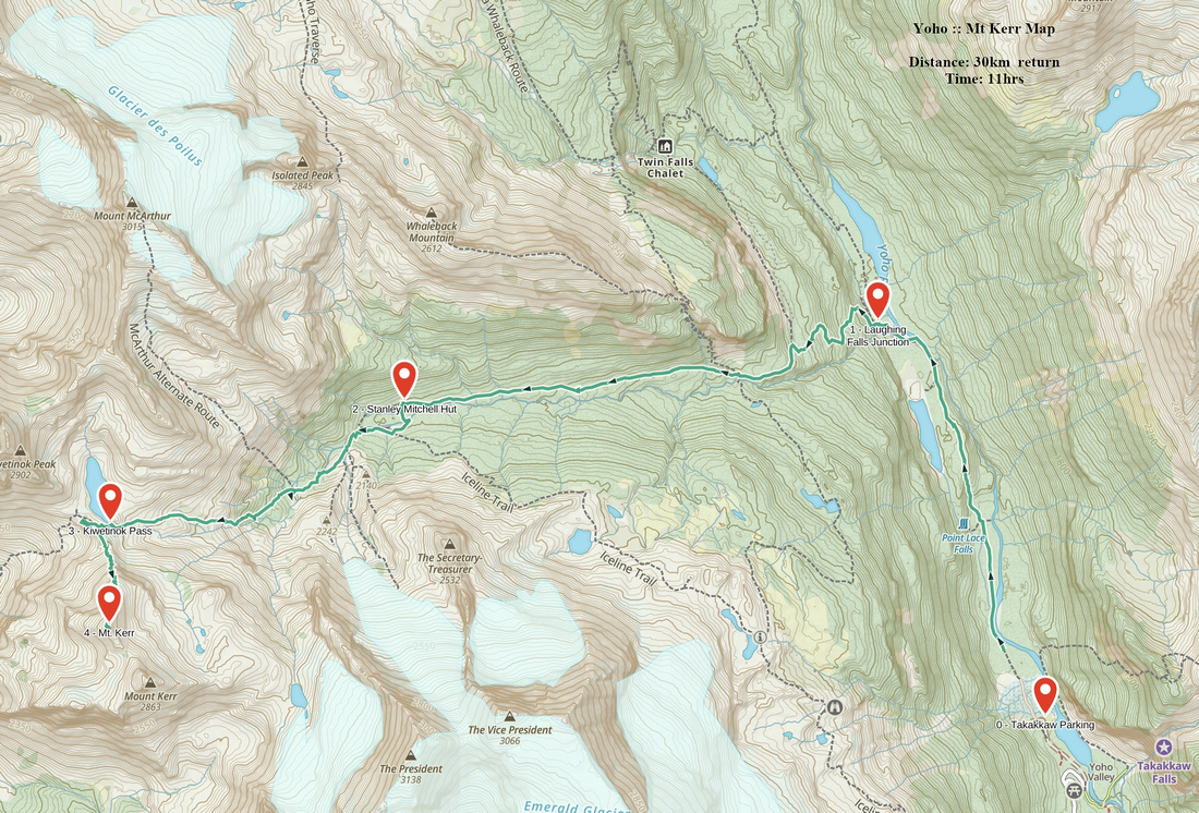 Mt. Kerr GAIA Map
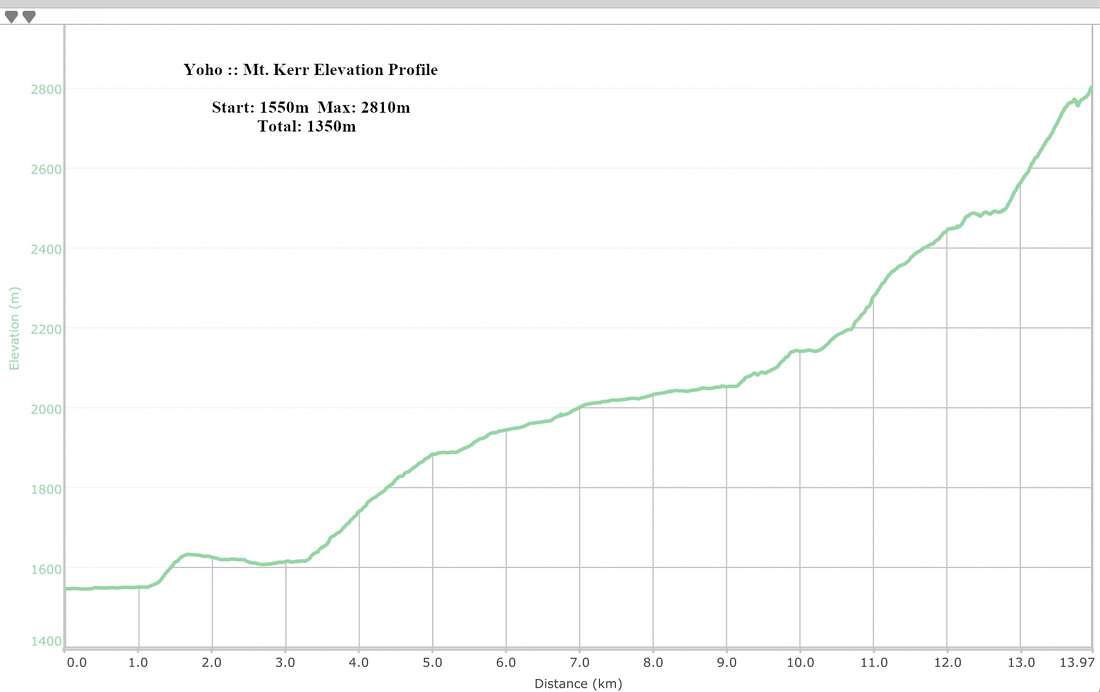 Mt. Kerr Elevation Profile