MapElevation |
Rockies :: Banff-Louise :: Heather Ridge |
GPS Track |
|
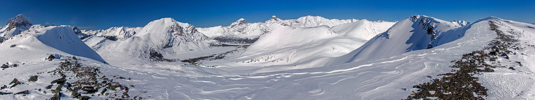 
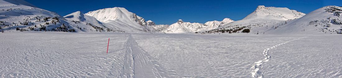
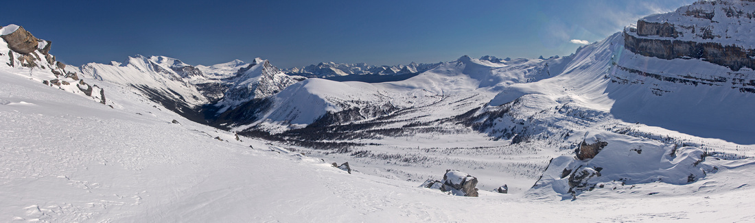
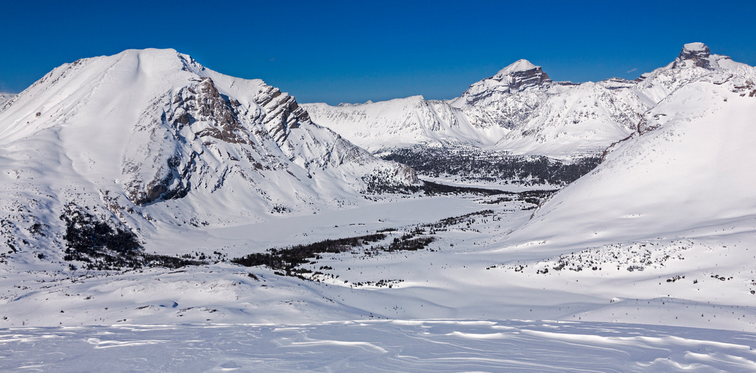
Panoramic view east from Heather Ridge. Ptarmigan Peak far left, Baker Lake and Fossil mountain just left of center. St Bride and Douglas center distance. High point of Heather Ridge is far to the right |
|||
| Trip Summary | |||
April 15, 2015
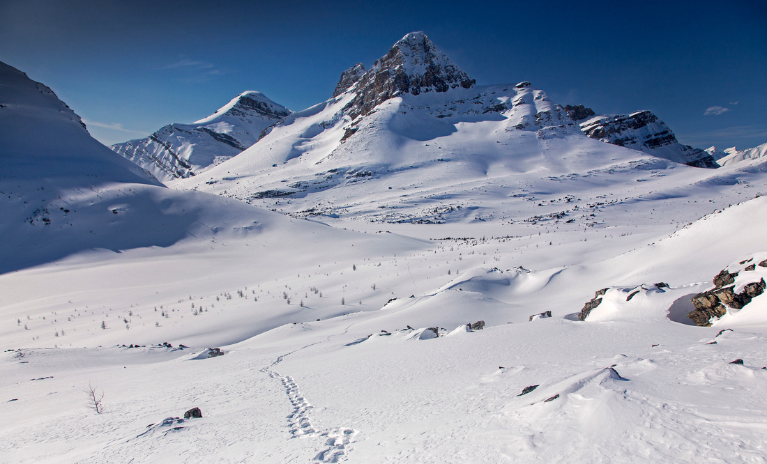
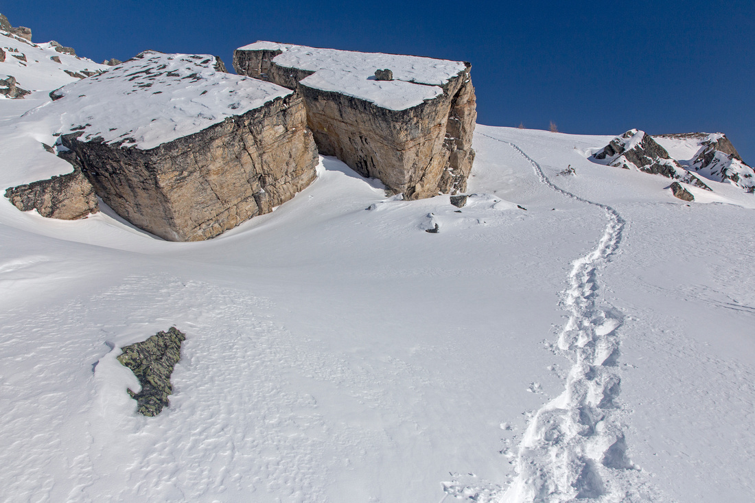
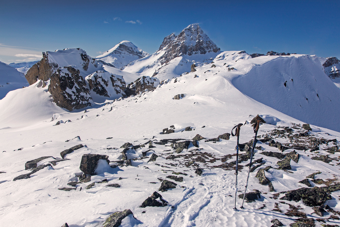
Heather ridge is often bypassed in favor of more popular Skoki targets -- such as Kane peaks or all too tempting "connect the dots" among 3 main Jewels of Skoki (Ptarmigan, Redoubt and Baker Lakes). Placed right in the heart of Skoki it requires a bit more challenge, but rewards the scrambler with outstanding views. Trip is feasible year-round, but winter ascent on snow is preferable due to tedious boulder and talus slopes above Redoubt Lake. For winter trips skis are recommended alternative to snowshoes and will cut return time from Boulder Pass many-fold. There is little objective avalanche danger, but as always when dealing with snow slopes caution must be exercised. Expect company to Ptarmigan Lake and solitude afterwards. Follow main access route into Skoki from Fish Creek parking lot on east side of Trans-Canada Highway in Lake Louise area. Takes about 45 minutes and 430 vertical to hike fire-road to Temple lodge; hitching a ride is stroke of luck, but worth a try. Past the lodge trail is shared with horses in summer; in winter Skoki Lodge snowmobile often leave well compacted track, suitable for snowshoe travel. If on snowshoes, please stay off ski track marked by wands. These two routes will usually merge near Halfway Hut. Boulder Pass is usually reached around 2 hour mark of steady pace. Main trail continues on the left side of Ptarmigan lake towards Deception Pass; for Heather ridge scrabble on right side and ascend talus and meadows to Redoubt Lake (about 20-30 minutes from Boulder Pass). Any number of routes is possible from east side of Redoubt Lake, but easiest is to traverse horizontally south at the bottom then pick your way up series of shallow gullies and small ridges. Navigating huge boulders around mid-point is serious fun. Sawback Range and Lipalian group unfold to the south as you ascend and will equally compete for camera time. Entire Pumpkin traverse (Chic Scott) can be surveyed from here. You will probably top near ridge mid-point and this is perfectly reasonable spot for lunch. Views are fantastic to say the least and much time can be spent identifying sea of peaks in front of you. Highpoint of the ridge is easy 15-20 minute walk from where you topped off, but will offer similar views and is not really required unless you are purist. Return is the same way, with possible extension of loop around Ptarmigan lake and/or visit to platform above Baker Lake if time allows. |
|
Gallery |
|||
 Meadows near Halfway Hut with views to Ptarmigan group
 |
|||
 View back to Louise area. Mt. Temple in the distance
 |
|||
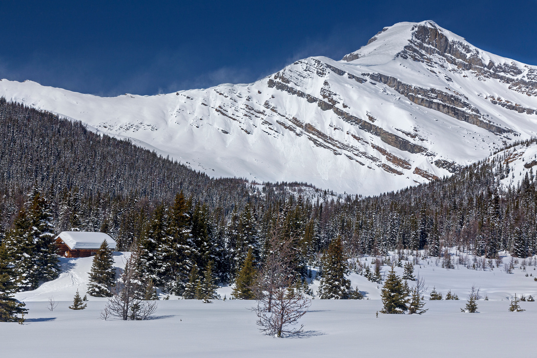 Gentle ascent slopes of Mt. Richardson. Halfway Hut left
 |
|||
 Panoramic view near mid-point of Ptarmigan Lake. Heather Ridge to the right
 |
|||
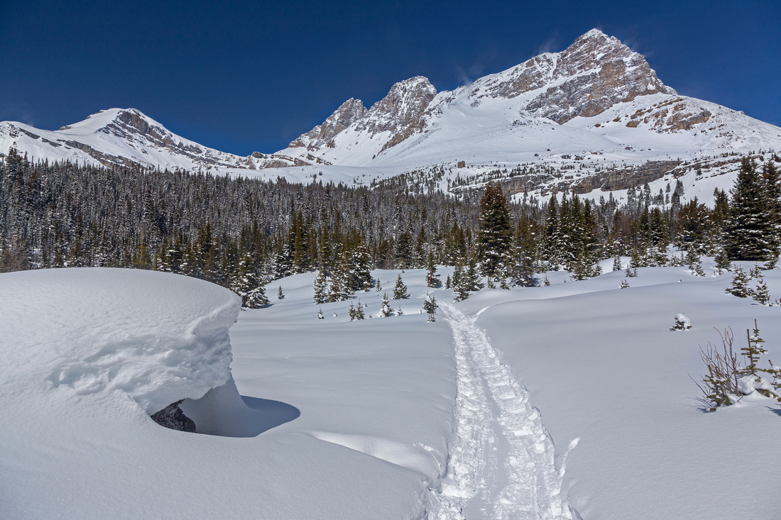
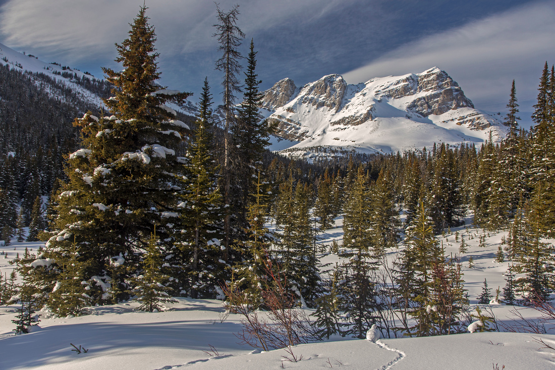
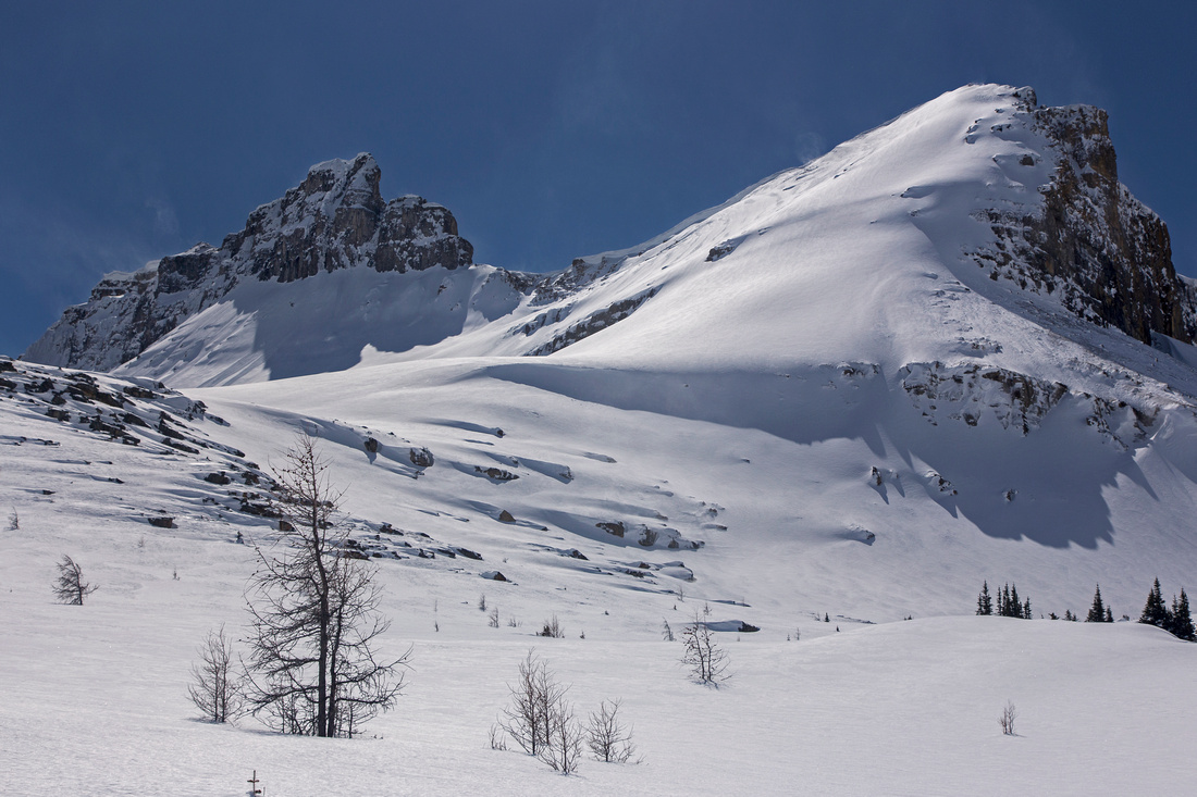 Mt. Redoubt during ascent from Ptarmigan to Redoubt Lake
 |
|||
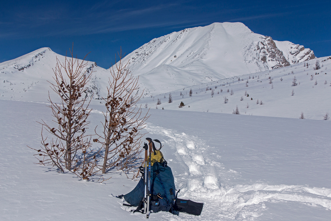 Lunch spot under lone larch near Redoubt Lake
 |
|||
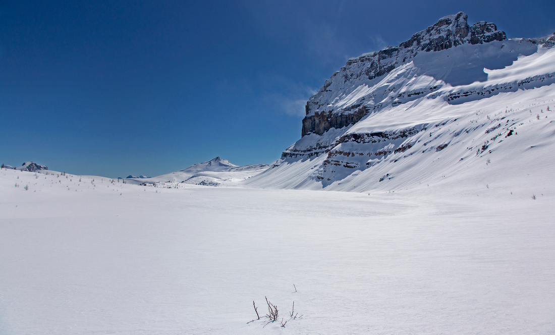 Redoubt Mtn and Lake. Lipalian peak far in the distance
 |
|||
 Fantastic views south to Sawback range and Lipalian group
 |
|||
 Looking back to Redoubt Lake, Ptarmigan and Richardson
 |
|||
 Navigating large boulders in upper part
 |
|||
 Topping up near ridge mid-point in fantastic winter scenery
 |
|||
 Views east from ridge mid-point
 |
|||
 Hiking out past Halfway Hut. Can you spot the ptarmigan?
 |
|||
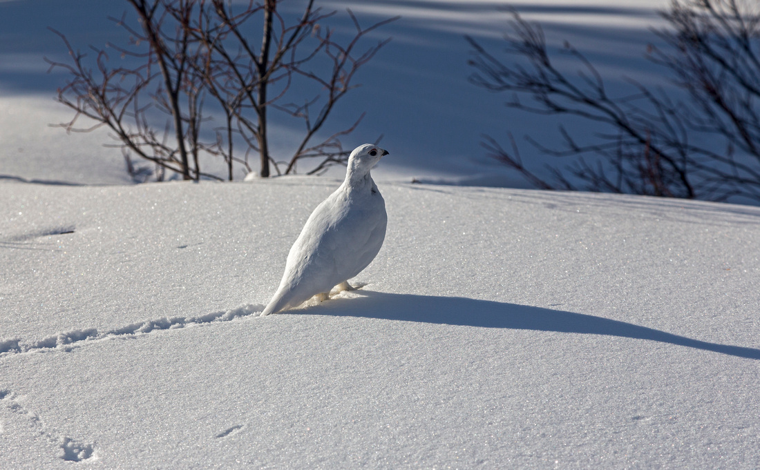 Well camouflaged white snow ptarmigan
 |
>
Abstract
| Overall Difficulty | D5 | Walk on Temple fireroad followed by hike on established trail to Boulder Pass. Off trail ascent to Redoubt Lake followed by easy scramble up boulder slopes to Heather ridge | |||
| Snow Factor | S3 | Moderately steep snow slopes about Redoubt Lake. Low to moderate avalanche risk | |||
| Scenery | Fantastic scenery throughout. Meadows, Lakes and Peaks. One of most scenic areas in the Rockies | ||||
| Trail/Marking | Excellent / None | Established and marked trail to Boulder Pass, none afterwards. Occasional cairns | |||
| Suggested Time | 8 hr | Return time on foot from Fish Creek parking lot. Skis in winter will considerably reduce return leg. Hitching a ride on Temple fireroad will shave off 30-40 minutes each way. | |||
| Elevation | Start: 1680m Max: 2630m Total: ~1000m | Round Trip: 24km | |||
| Gear | Hiking boots and poles; snowshoes or (preferably) skis in winter. Avalanche gear suggested, but not mandatory | ||||
| Water | Outlet from Hidden Lake near Halfway Hut. Water from lakes can be filtered. Recommended: Carry 2-3L | ||||
| Dog Friendly | Yes | No on-leash restrictions. Note that Skoki is prime griz-country and several dog related accidents have occurred in the past | |||